The best walks and hikes in Kalkkögel
4.6
(20413)
127,113
hikers
37
hikes
Hiking in Kalkkögel offers diverse trails through a landscape characterized by dramatic limestone towers and spires, often referred to as the "North Tyrolean Dolomites." The region features prominent peaks like Schlicker Seespitze and Ampferstein, composed of Mesozoic dolomites resting on crystalline bedrock. Extensive hiking trails traverse varied terrain, from accessible paths to challenging alpine routes, often incorporating via ferratas in steeper sections. The area provides a blend of high alpine scenery and diverse flora, including stone pine and larch meadows.
…Last updated: September 28, 2026
4.7
(41)
164
hikers
5.67km
03:02
460m
450m
Hard hike. Good fitness required. Sure-footedness, sturdy shoes and alpine experience required.
4.8
(5)
36
hikers
7.12km
03:33
720m
720m
Moderate hike. Good fitness required. Mostly accessible paths. Sure-footedness required.

4.7
(54)
315
hikers
Moderate hike. Good fitness required. Easily-accessible paths. Suitable for all skill levels.
4.8
(69)
301
hikers
12.3km
04:53
740m
740m
Moderate hike. Good fitness required. Mostly accessible paths. Sure-footedness required.
4.7
(27)
227
hikers
Moderate hike. Good fitness required. Easily-accessible paths. Suitable for all skill levels.
Get access to more routes and recommendations from other explorers.
Already have an account?
Our route recommendations are based on thousands of hikes, rides, and runs completed by other people on komoot.
Start today with a free account
Your next adventure awaits.
Popular around Kalkkögel
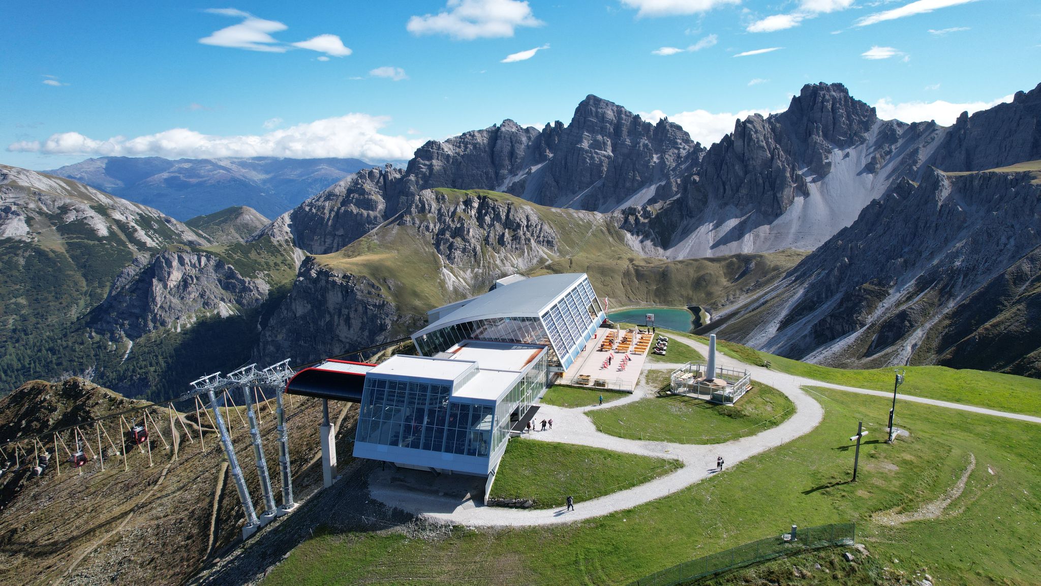
In the ‘Dolomites of North Tyrol’ – hiking in Axamer Lizum
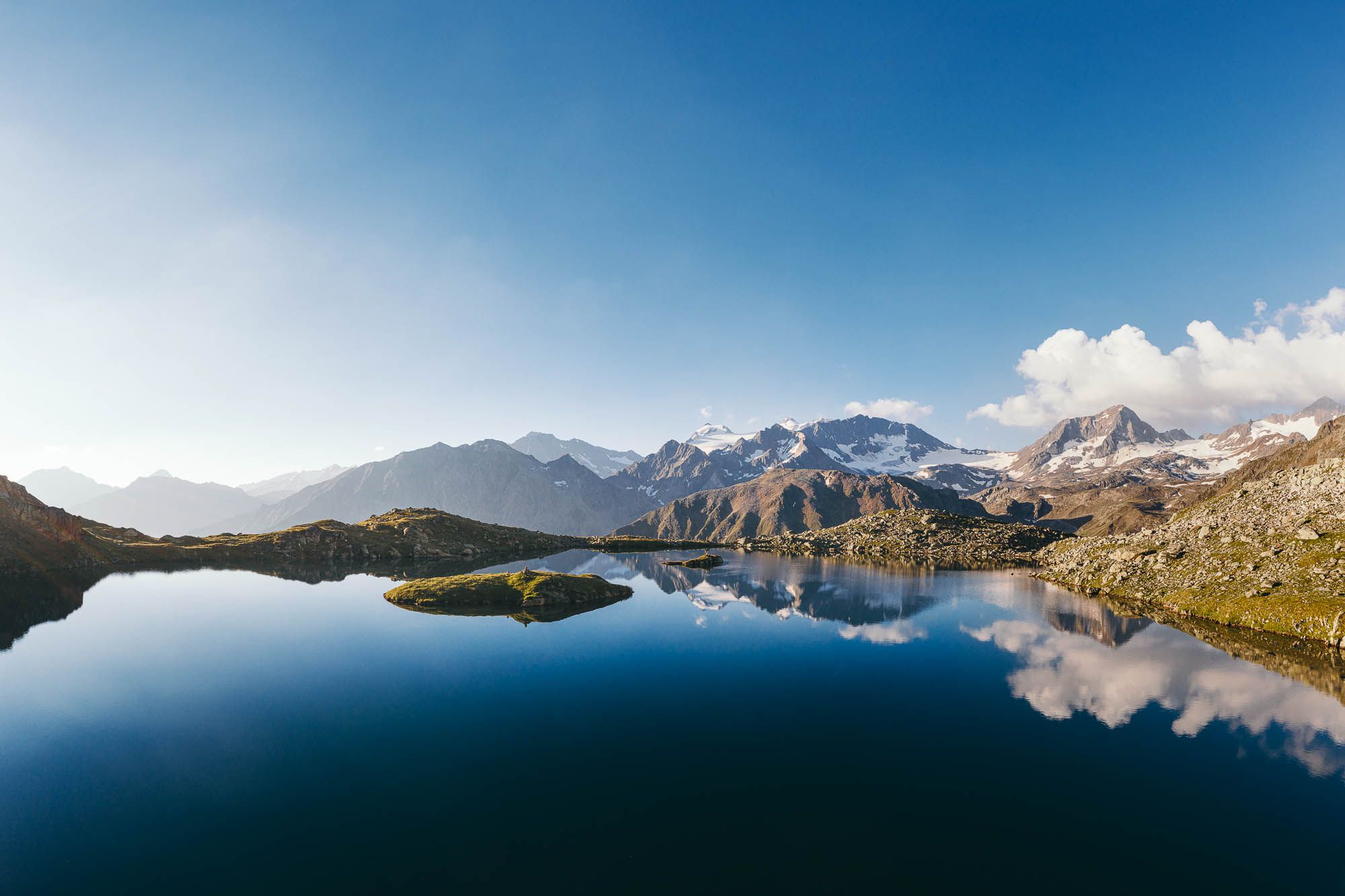
5 hiking highlights in the Stubai - between nature fascination and summit experiences
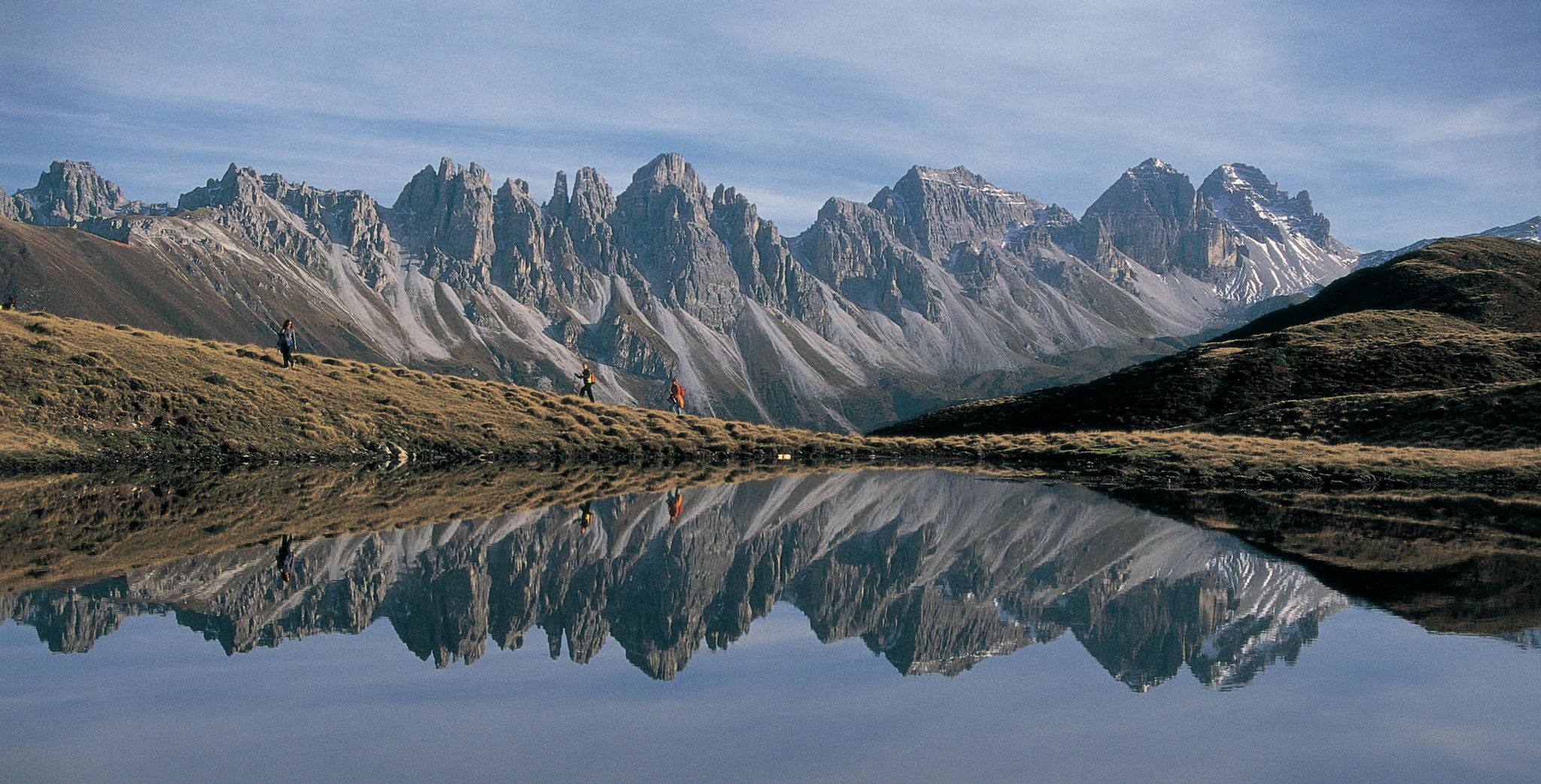
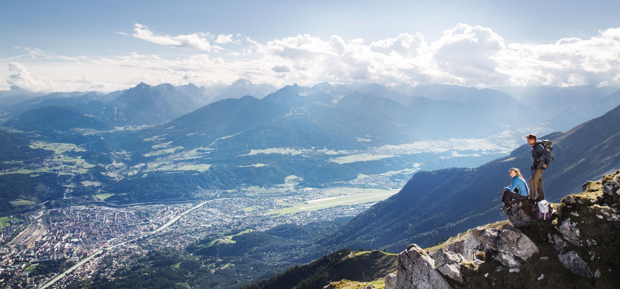
Leaving the city & up into the mountains – hiking around Innsbruck
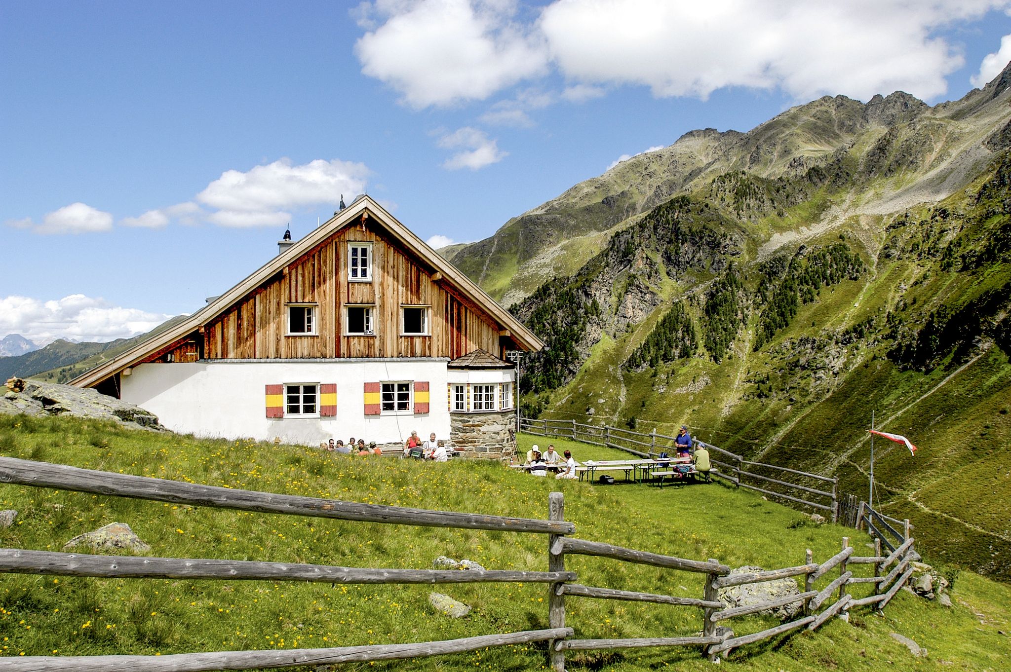
7 days through the Sellrain Alps – the Sellrainer Huettenrunde
De stad uit, de bergen in – Wandelen rond Innsbruck
MTB Trails in Kalkkögel
Road Cycling Routes in Kalkkögel
Cycling in Kalkkögel
Running Trails in Kalkkögel
Gravel biking in Kalkkögel
Other adventures in Kalkkögel


Tips from the Community

In May, the paths are partially extremely blocked by snow, it is better to start the tour in June. The snow partially thaws from below and caves form underneath, which can be dangerous.
0
1

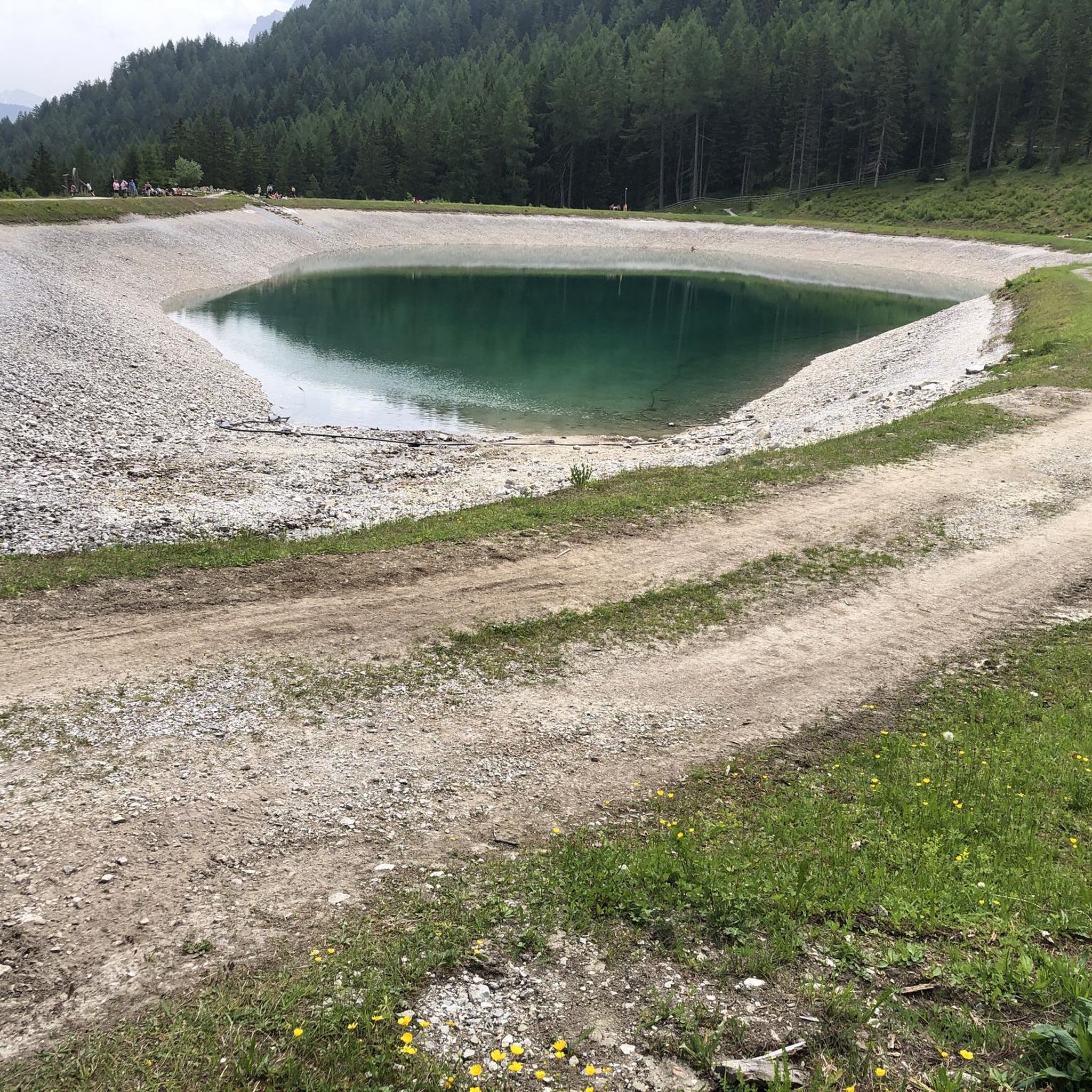
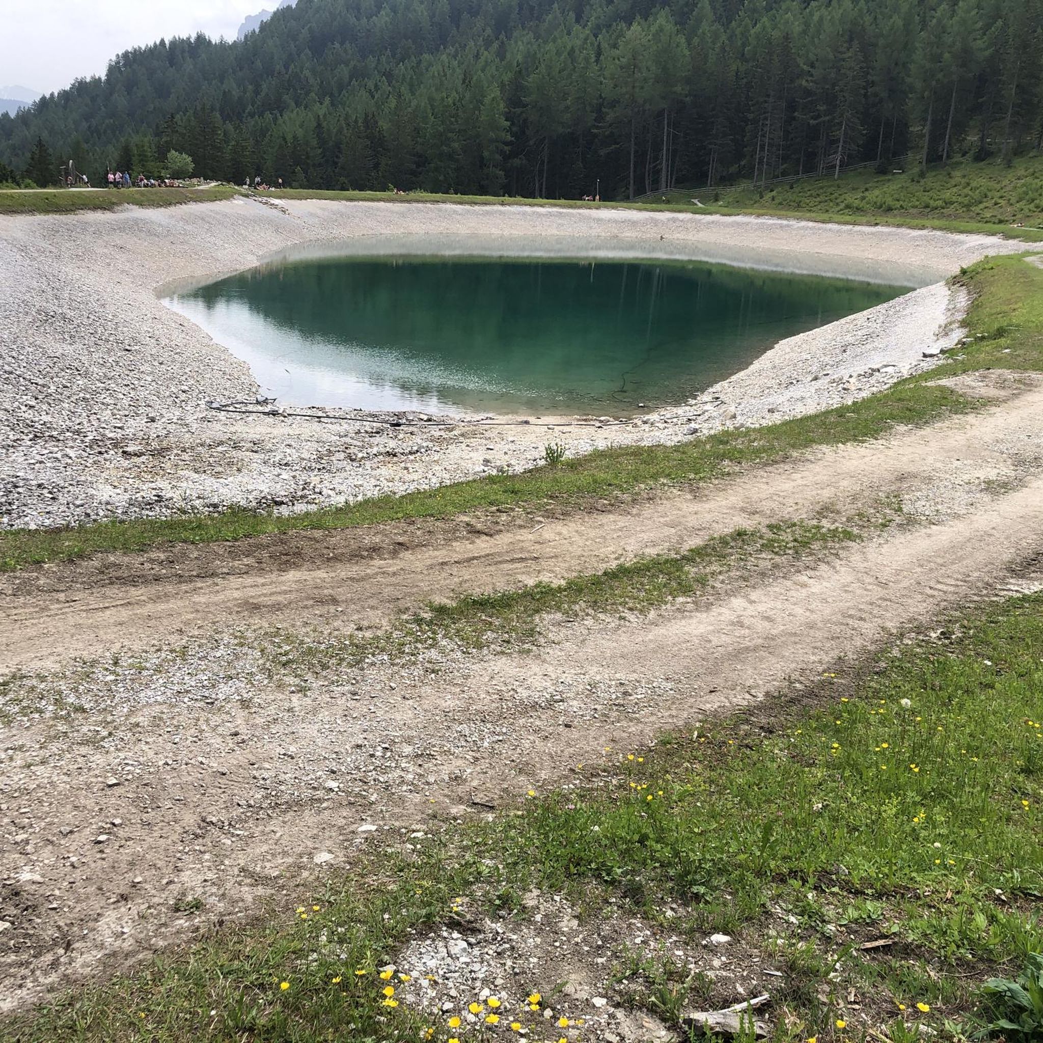
The lake is clearly artificial. From here you have a truly magnificent view all the way down to the Inn Valley.
0
0
This path leads to the Galtalm on the Stubai Valley side.
1
0
This spot is located slightly below the Schlickeralm and above the middle station. A lovely place for a break, right next to a small pond.
0
0
They really make an effort here to offer something for children as well. Highly recommended: a stop at the Frohnebenalm.
0
0


great path for young and old
0
0
great path past lakes and cows
1
0
Frequently Asked Questions
What kind of landscape can I expect when hiking in Kalkkögel?
Kalkkögel is renowned for its dramatic limestone towers and spires, often called the "North Tyrolean Dolomites." The landscape features prominent peaks like Schlicker Seespitze and Ampferstein, composed of Mesozoic dolomites, offering stunning panoramic views and a unique alpine experience.
How many hiking trails are available in Kalkkögel?
There are over 35 hiking trails in Kalkkögel, catering to various skill levels. These include 6 easy routes, 20 moderate paths, and 12 challenging alpine ascents, ensuring options for every hiker.
Are there any family-friendly hiking options in Kalkkögel?
Yes, Kalkkögel offers several accessible routes suitable for families. Options like the "Family hike tree house trail Stubaital" and the "Pleisen Panorama Trail" are ideal for beginners or those seeking shorter, less strenuous excursions. The Path of the Senses Schlick – View of Stubai Valley loop from Schlicker Alm is a moderate trail that provides varied terrain and views, often completed in about 2.5 hours.
What are some notable landmarks or attractions to see along the trails?
The Kalkkögel region is rich in natural and historical landmarks. You can visit prominent peaks like Hoher Burgstall summit or Nockspitze (Saile) summit. Several mountain huts also serve as attractions and rest stops, such as the Birgitzköpfl Hut and Starkenburger Hut.
What do other hikers enjoy most about hiking in Kalkkögel?
The area is highly rated by the komoot community, with an average score of 4.5 stars from over 3,800 reviews. Hikers frequently praise the dramatic limestone formations, the extensive network of well-maintained trails, and the stunning panoramic views of the Stubai Valley and beyond.
Are there any circular hiking routes in Kalkkögel?
Yes, Kalkkögel features several circular routes. For example, the View of Elfer – Pfarrach Swing Viewpoint loop from Telfes im Stubai is a moderate 9 km trail that offers panoramic views and a substantial climb. Another popular option is the Path of the Senses Schlick – View of Stubai Valley loop from Schlicker Alm.
What is the best time of year to hike in Kalkkögel?
The summer months are generally ideal for hiking in Kalkkögel, offering pleasant weather and full access to the extensive trail network. However, the region's diverse flora, including larch meadows and various orchids, makes spring and early autumn also very appealing for their natural beauty.
Are there mountain huts available for refreshments or overnight stays?
Yes, Kalkkögel has several mountain huts that provide essential rest stops, refreshments, and even overnight accommodations. Notable huts include the Starkenburger Hut, Birgitzköpfl Hut, and Schlickeralm, allowing for multi-day treks or extended day trips.
How accessible is Kalkkögel by public transport or car?
Kalkkögel is easily accessible, located approximately 30 km southwest of Innsbruck. Cable cars and lifts, such as the Olympia funicular from Axamer Lizum, provide convenient access to higher elevations, allowing hikers to start their tours comfortably. Parking is generally available at trailheads and lift stations.
What kind of flora and fauna can I observe in Kalkkögel?
Depending on the rock and soil type, Kalkkögel supports a rich variety of plant life. You might encounter yellow alpine poppy, edelweiss, primroses, alpine toadflax, and various orchids. The landscape also features stone pine, Scots pine, and larch meadows, contributing to the region's natural beauty.
Are there any particularly challenging hikes for experienced trekkers?
For experienced trekkers, Kalkkögel offers challenging routes that often incorporate via ferratas due to the steep limestone peaks. The Four Summit Tour is a difficult 5.7 km trail featuring significant elevation gain across multiple peaks, providing a demanding alpine experience.
Can I find trails with significant elevation gain and panoramic views?
Absolutely. Many trails in Kalkkögel offer substantial elevation gain rewarded with breathtaking panoramic views. The Naturschauplatz Pfarrach is a moderate 7.1 km path that includes a significant climb, providing expansive vistas across the natural landscape.
Most popular routes in Kalkkögel
Most popular attractions in Kalkkögel

Get inspired with the komoot mobile app


Explore more
Browse the best Hikes in other regions.
