The best road cycling routes in Orlovské Vŕšky
5.0
(1)
40
riders
4
rides
Road cycling in Orlovské Vŕšky, situated within the Záhorie Protected Landscape Area, offers diverse terrain for cyclists. The region is characterized by ash-alder submontane floodplain forests, Pannonian oak-hornbeam forests, and various natural water bodies. Cyclists can explore riverine floodplains along the Morava River, unique sand dunes in the northeastern part, and picturesque countryside with rolling hills. The area provides a network of routes suitable for different skill levels.
Best road cycling routes in Orlovské Vŕšky
- The most popular road cycling…
Last updated: July 2, 2026
21
riders
80.1km
03:48
910m
910m
Hard road ride. Very good fitness required. Mostly well-paved surfaces and easy to ride.
7
riders
41.9km
01:40
140m
140m
Easy road ride. Great for any fitness level. Mostly well-paved surfaces and easy to ride.

Sign up for free
6
riders
69.8km
02:58
400m
400m
Moderate road ride. Good fitness required. Some segments of this route may be unpaved and difficult to ride.
5.0
(1)
6
riders
89.1km
03:29
330m
330m
Moderate road ride. Good fitness required. Mostly well-paved surfaces and easy to ride.
Our route recommendations are based on thousands of hikes, rides, and runs completed by other people on komoot.
Start today with a free account
Your next adventure awaits.
Login or Signup
Popular around Orlovské Vŕšky
Tips from the Community

This has a capacity of 40 tons (6 cars and 30 pedestrians).
1
0

Operating hours at: https://www.angern.at/Grenzuebergang
0
0


Renaissance castle with diorama of the battle of King Ottokar of Bohemia and Rudolf of Habsburg (1278), remarkable castle chapel and Sala Terrena; castle museum with a focus on "archaeology and paleontology".
2
0

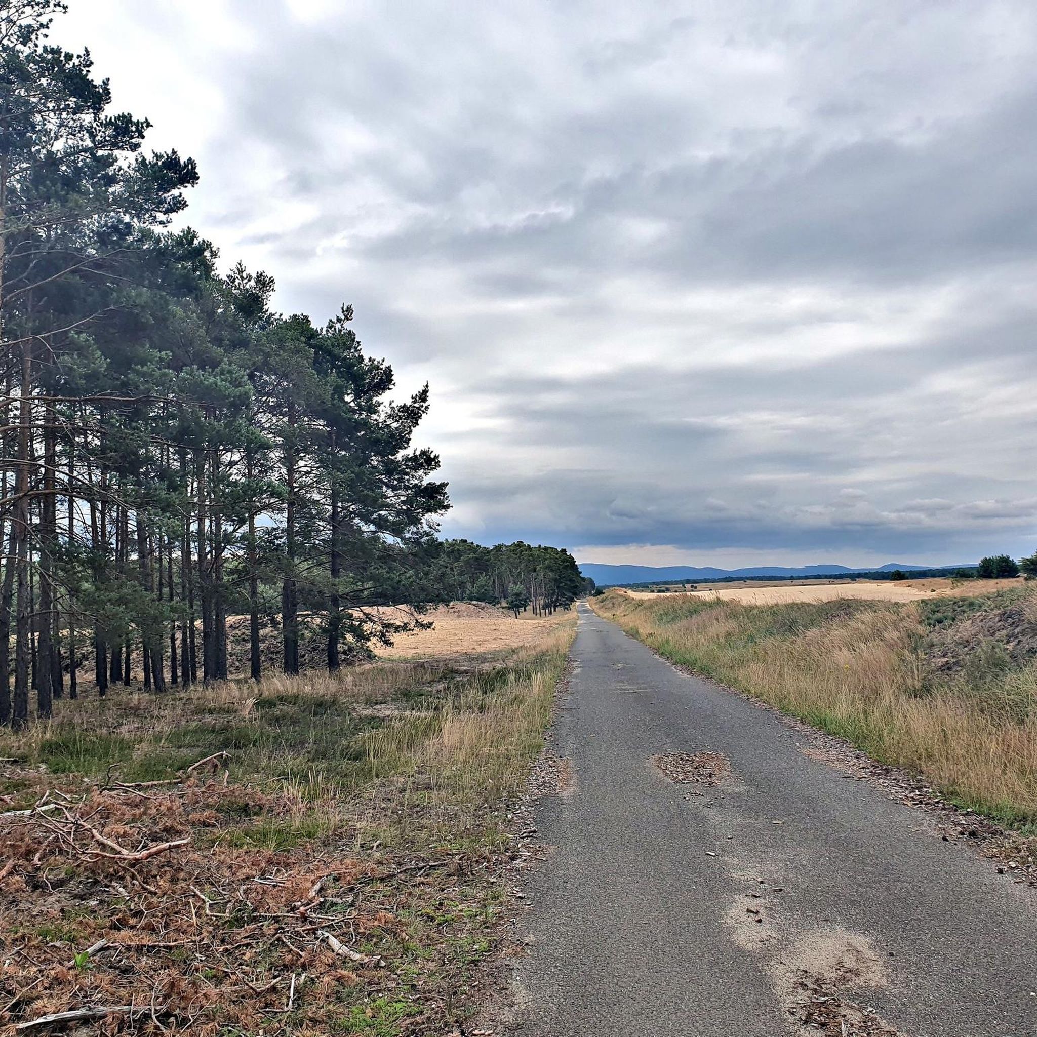
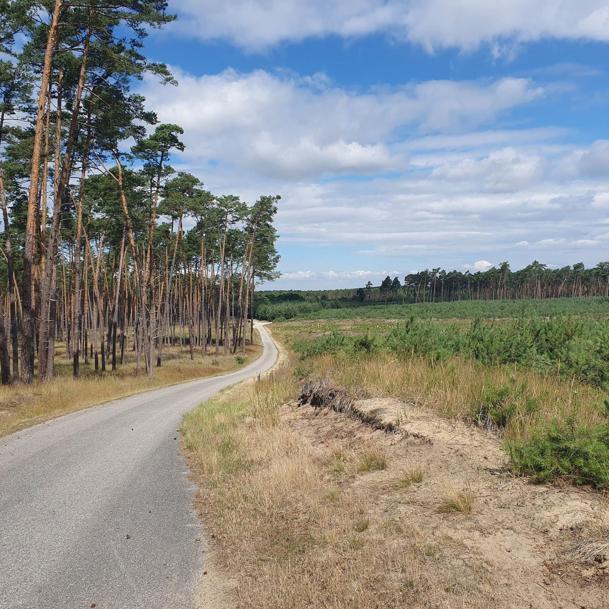
In some places you should be careful because asphalt is a bit degraded (60%). However its quite long and nice descent to village Lozorno. It can be also nice climbing from Lozorno to Biely kríž!
0
0


A nice place for a little break
0
0
For one euro via the March - always casual.
0
0
Frequently Asked Questions
What kind of terrain can I expect when road cycling in Orlovské Vŕšky?
Road cycling in Orlovské Vŕšky, situated within the Záhorie Protected Landscape Area, offers diverse terrain. You'll find routes traversing riverine floodplains along the Morava River, unique sand dunes in the northeastern part, and picturesque countryside with rolling hills. The area features ash-alder submontane floodplain forests, Pannonian oak-hornbeam forests, and various natural water bodies.
Are there routes suitable for different skill levels?
Yes, the region provides a network of routes catering to various skill levels. For an easy ride, consider the Paved Forest Path loop from Malacky, which offers gentle gradients through forested areas. More challenging options are also available for experienced cyclists.
What are some notable natural features or landmarks to see along the road cycling routes?
The Záhorie region, encompassing Orlovské Vŕšky, is rich in natural beauty. You can cycle along the Morava River Levee, which features a dedicated biking trail and informative displays about local wildlife. The area also boasts extensive riparian zones, floodplains, and unique sand dunes in the north-eastern part, which serve as an important migratory route for birds. The general countryside offers charming villages and verdant landscapes.
What is the typical length and elevation gain for road cycling routes in Orlovské Vŕšky?
Route lengths vary significantly. For example, the easy Paved Forest Path loop from Malacky is about 26 miles (41.9 km) with an elevation gain of around 145 meters. More challenging routes, like the Strmina Peak – Pálffy Manor loop from Malacky, span over 50 miles (80.8 km) and feature significant elevation gains of over 900 meters.
Are there any challenging road cycling routes for experienced riders?
Yes, experienced riders looking for a challenge can tackle routes like the Strmina Peak – Pálffy Manor loop from Malacky. This 50.2-mile (80.8 km) trail is rated as difficult, featuring challenging climbs and varied terrain through the protected landscape, with an elevation gain of over 900 meters.
What do other road cyclists say about their experiences in Orlovské Vŕšky?
The road cycling routes in Orlovské Vŕšky are highly rated by the komoot community, with an average score of 5.0 stars. Cyclists often praise the varied terrain, from gentle forest paths to challenging climbs, and the scenic beauty of the Záhorie Protected Landscape Area.
Are there loop trails available for road cyclists?
Yes, many of the road cycling routes in Orlovské Vŕšky are designed as loops, allowing you to start and end at the same point. Examples include the Paved Forest Path loop from Malacky and the Sedmička Cave – Strmina Descent to Lozorno loop from Malacky.
Is Orlovské Vŕšky suitable for family-friendly road cycling?
While Orlovské Vŕšky itself is a nature reserve, the broader Záhorie Protected Landscape Area offers routes suitable for families. The generally flat terrain in parts of Záhorie, combined with well-maintained cycle paths, makes it possible to find easier sections for a relaxed family ride. The Paved Forest Path loop from Malacky is an easy option that could be suitable.
What is the best time of year to go road cycling in Orlovské Vŕšky?
The Záhorie region, including Orlovské Vŕšky, is generally pleasant for cycling during spring, summer, and early autumn. These seasons offer milder weather and lush landscapes, making for an enjoyable experience. Always check local weather forecasts before heading out.
Are there options for parking or public transport access to the cycling routes?
The routes often start or pass through towns like Malacky, which typically offer parking facilities. For public transport, you would need to check local bus or train services to Malacky or other starting points, and verify if bikes are permitted on board. Specific details for each route's access points are usually available on the individual tour pages.
Can I find places to eat or stay near the road cycling routes?
The Záhorie region features charming villages and towns where you can find cafes, pubs, and accommodation options. Malacky, a common starting point for many routes, offers various amenities. It's advisable to check in advance for specific establishments along your chosen route.
Are there any permits required for road cycling in the Orlovské Vŕšky area?
Orlovské Vŕšky is a nature reserve within the Záhorie Protected Landscape Area. While general cycling on designated paths is usually permitted, it's always good practice to respect local regulations and signage, especially within protected areas. No specific permits for road cycling on public roads or marked cycle paths are typically required, but staying on established routes is crucial for environmental protection.
Most popular routes in Orlovské Vŕšky

Get inspired with the komoot mobile app


Explore more
Browse the best Road cycling routes in other regions.
