The best cycling routes in Skogböle Naturskyddsområde
5.0
(1)
12
riders
1
ride
Touring cycling routes in Skogböle Naturskyddsområde offer a range of experiences across varied terrain. The region features routes that traverse both paved and unpaved surfaces, including dirt roads through rural landscapes. Elevation changes are present, with some routes including significant climbs. These routes provide opportunities to explore the area's natural and cultural points of interest.
Best touring cycling routes in Skogböle Naturskyddsområde
- The most popular touring cycling route is Fiskars Village – View of Borgbyträsket loop from Skarpkullavägen V,…
Last updated: August 22, 2026
2
riders
38.7km
02:53
280m
280m
Moderate bike ride. Good fitness required. Mostly paved surfaces. Suitable for all skill levels.
4
riders
59.8km
04:12
510m
500m
Hard bike ride. Very good fitness required. Mostly paved surfaces. Suitable for all skill levels.

Sign up for free
5.0
(1)
3
riders
58.3km
03:37
490m
490m
Hard bike ride. Very good fitness required. Mostly paved surfaces. Suitable for all skill levels.
3
riders
75.2km
04:43
620m
610m
Hard bike ride. Very good fitness required. Mostly paved surfaces. Suitable for all skill levels.
Our route recommendations are based on thousands of hikes, rides, and runs completed by other people on komoot.
Start today with a free account
Your next adventure awaits.
Login or Signup
Popular around Skogböle Naturskyddsområde
Tips from the Community

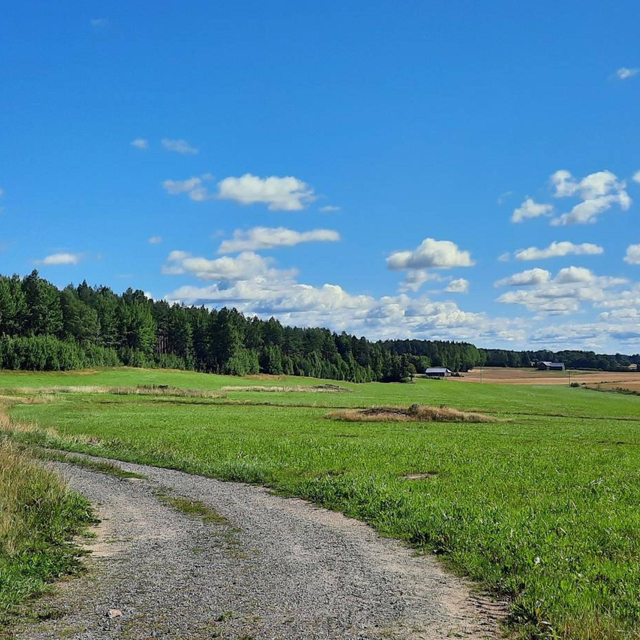
The view over Borgbyträsket offers a stunning glimpse of unspoiled nature, where serene waters meet lush forests. A perfect spot for relaxation and exploration.
0
0
The view over Borgbyträsket offers a stunning glimpse of unspoiled nature, where serene waters meet lush forests. A perfect spot for relaxation and exploration.
1
0

Delicious cake in a beautiful house. Gallery run by local artist, cakes by Mariia from Ukraine.
0
0


Komoot says it's loose gravel here. But it isn't.
0
0

Worth a ride / small detour. Nice views and smooth riding.
0
1
Frequently Asked Questions
What kind of terrain can I expect on touring cycling routes in Skogböle Naturskyddsområde?
The touring cycling routes in Skogböle Naturskyddsområde feature a mix of surfaces, including both paved and unpaved roads. You'll encounter dirt roads, particularly on routes like the Dirt Road Through Countryside – Koski Bridge loop from Hiettaro, offering a true rural cycling experience. Expect varied countryside with moderate to significant elevation changes.
Are there routes suitable for different skill levels in Skogböle Naturskyddsområde?
Yes, the region offers routes for various abilities. While many routes are considered difficult, such as the Marijan Café & Art Gallery – Wooden bridge in Perniö loop from Korttila I, there is also a moderate option available: the Fiskars Village – View of Borgbyträsket loop from Skarpkullavägen V. This allows cyclists to choose a challenge that matches their experience.
What are some notable points of interest along the touring cycling routes?
The routes offer glimpses of local landmarks and natural beauty. For instance, the Fiskars Village – View of Borgbyträsket loop from Skarpkullavägen V provides views of Borgbyträsket and passes through the charming Fiskars Village. Another route, the Dirt Road Through Countryside – Koski Bridge loop from Hiettaro, takes you past Koski Bridge, while the Marijan Café & Art Gallery – Wooden bridge in Perniö loop from Korttila I includes Marijan Café & Art Gallery and a wooden bridge in Perniö.
Are there any circular touring cycling routes available?
Yes, all the featured touring cycling routes in Skogböle Naturskyddsområde are designed as loops, allowing you to start and end your journey at the same point. Examples include the Fiskars Village – View of Borgbyträsket loop from Skarpkullavägen V and the Dirt Road Through Countryside – Koski Bridge loop from Hiettaro.
What do other touring cyclists say about the routes in Skogböle Naturskyddsområde?
The touring cycling routes in Skogböle Naturskyddsområde are highly regarded by the komoot community, holding an average score of 5.0 stars. Cyclists appreciate the varied terrain and the opportunity to explore rural landscapes.
What is the best time of year for touring cycling in this region?
While specific seasonal data for Skogböle Naturskyddsområde is limited, Sweden generally offers excellent touring cycling conditions from late spring through early autumn (May to September). During these months, the weather is typically milder, and the natural scenery is at its most vibrant. Always check local weather forecasts before heading out.
Are the touring cycling routes suitable for families with children?
The routes in Skogböle Naturskyddsområde range from moderate to difficult, with significant distances and elevation changes. While there is a moderate option, the overall character of the routes, including dirt roads and longer durations, might be more suitable for experienced family cyclists or those with older children. For easier, more family-friendly options, exploring other national cycling routes in Sweden might be beneficial, such as those with dedicated, flatter paths.
How long do the touring cycling routes typically take to complete?
The duration varies depending on the route and your pace. For example, the moderate Fiskars Village – View of Borgbyträsket loop from Skarpkullavägen V typically takes around 2 hours 51 minutes. Longer, more difficult routes, such as the Marijan Café & Art Gallery – Wooden bridge in Perniö loop from Korttila I, can take approximately 3 hours 36 minutes or more.
What are the general characteristics of touring cycling in Swedish nature reserves?
Swedish nature reserves and cycling routes, like those in Skogböle Naturskyddsområde, are known for diverse natural scenery, often featuring forests, lakes, and coastal views. Many routes utilize quiet gravel roads, paved roads with minimal traffic, and scenic paths. They often provide opportunities to experience undisturbed nature and local culture. For more information on Sweden's cycling routes, you can visit Visit Sweden's cycling guide.
Are there facilities like cafes or restaurants along the routes?
While specific details for all routes are not available, one route, the Marijan Café & Art Gallery – Wooden bridge in Perniö loop from Korttila I, explicitly mentions 'Marijan Café & Art Gallery' in its name, suggesting opportunities for refreshments and cultural stops along the way. For other routes, it's advisable to carry your own provisions or research local amenities in nearby villages before your ride.
Is public transport available to access the touring cycling routes?
Specific public transport information for accessing the starting points of these routes in Skogböle Naturskyddsområde is not readily available. In many rural Swedish areas, public transport options can be limited. It is recommended to plan your journey by car or check local transport schedules for the specific starting points of the routes you intend to cycle.
Where can I find parking near the touring cycling routes?
The routes are typically loops starting from specific locations like 'Skarpkullavägen V' or 'Hiettaro'. While dedicated parking information isn't provided, these starting points are usually accessible by car. It's advisable to check local maps or satellite views for potential parking areas near the designated start/end points of your chosen route before your trip.
Most popular routes in Skogböle Naturskyddsområde

Get inspired with the komoot mobile app


Explore more
Browse the best Cycling routes in other regions.
