The 7 Most Amazing Peaks around Hinzenburg
Best mountain peaks around Hinzenburg are situated within the Trier-Saarburg district of Rhineland-Palatinate, Germany, in the scenic Ruwertal. This region is characterized by elevated forested areas and hills, forming part of the Saar-Hunsrück Nature Park. The landscape offers extensive natural beauty and recreational opportunities for hikers and nature enthusiasts. These areas provide a low mountain range character with serene forested environments.
Best mountain peaks around Hinzenburg
- The most popular mountain peaks is Schimmelkopf (Highest Point in Saarland), a summit…
Last updated: July 1, 2026
Rösterkopf Communication Tower
Highlight • Monument
Translated by Google •
Tip by

Bockstein Summit
Highlight • Summit
Translated by Google •
Tip by

Sign up now to discover places like this
Get recommendations on the best single tracks, peaks, & plenty of other exciting outdoor places.
Sign up for free
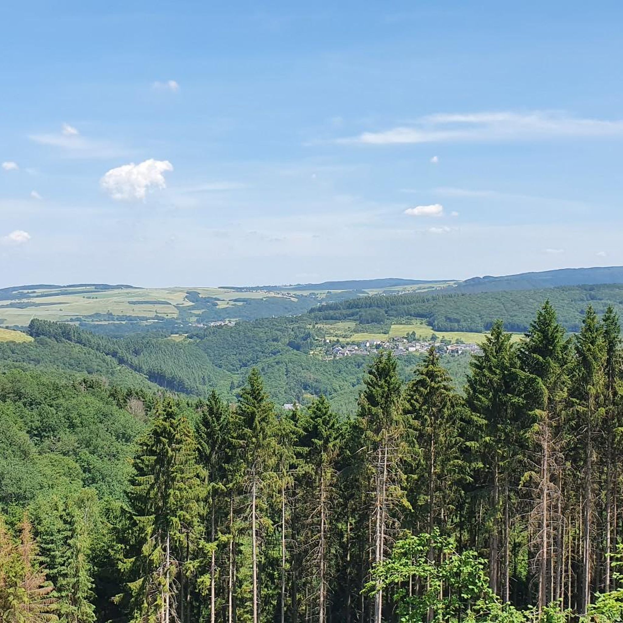
Schimmelkopf (Highest Point in Saarland)
Highlight • Summit
Above:
komoot.de/highlight/212463
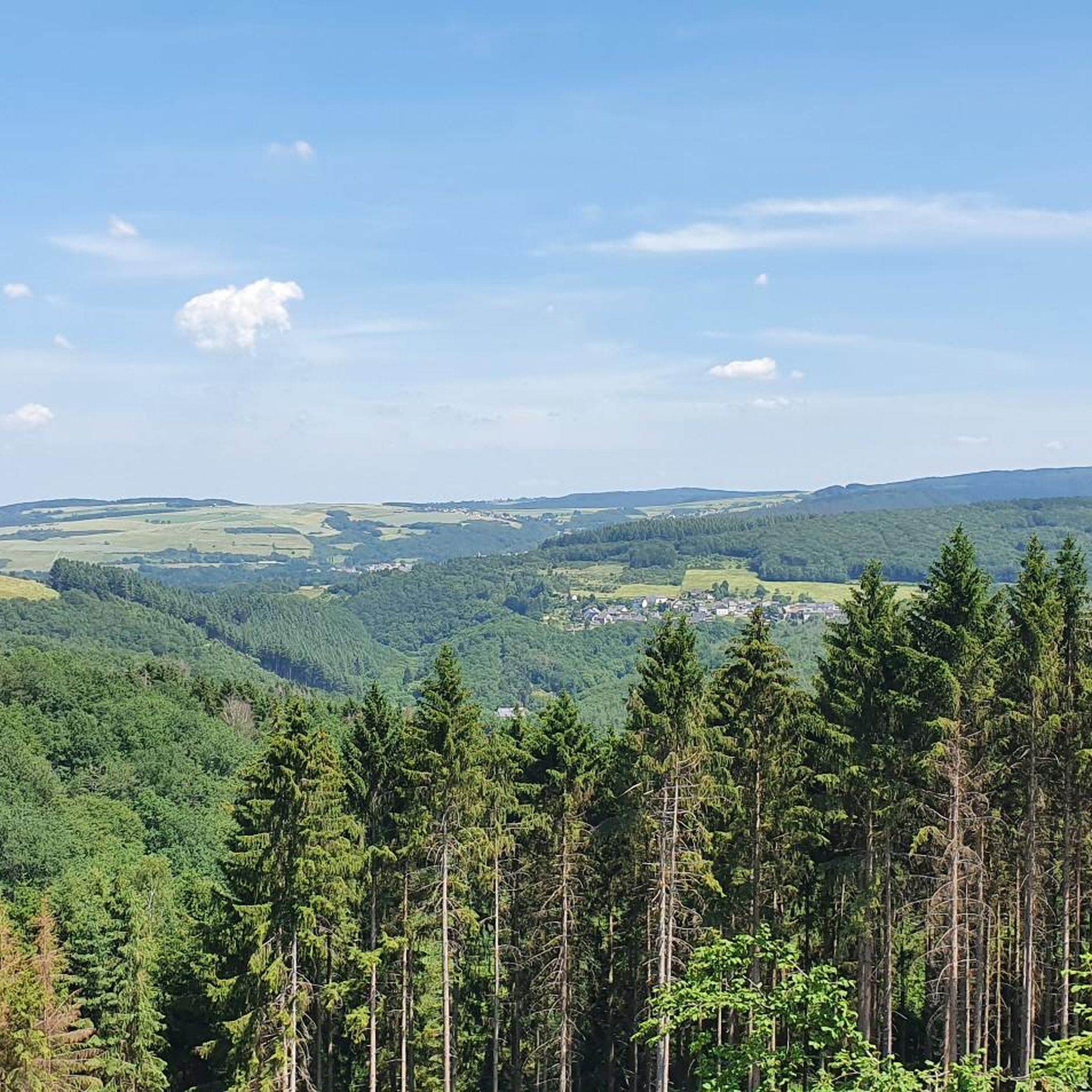
Bottom:
komoot.de/highlight/212460
Translated by Google •
Tip by

Teufelskopf Transmission Tower
Highlight • Monument
Gipfelkopf (460 m) with summit logbook
Highlight • Summit
Translated by Google •
Tip by

Sign up for free to discover even more peaks around Hinzenburg.
Sign up for free
Already have an account?
Start today with a free account
Your next adventure awaits.
Login or Signup
Tips from the Community

Ok, it's a bit funny to have a summit book on the hill ;-)
1
0

A nice idea. Unfortunately I had the wrong backpack with me, so I couldn't immortalize myself.
0
0

You can write your name on the back of the board...
2
0

The Schimmelkopf (694.8m) is surpassed by the 1st highest mountain in Saarland, the Dollberg (695.4m) by just under 0.6m. However, these are only the current official values, and depending on the reference ellipsoid or date, most map systems and navigation systems will probably show slightly different values.
0
0

There are beautiful trails up to the Bockstein. In my opinion, this is the most beautiful section of the Saar-Riesling-Steige and deserves its name. From the top, you have a beautiful view and some great photo opportunities.
9
0

“Each of these crosses can tell its own story and what motivated people to erect “their” cross at this spot. (...) These wayside crosses were erected as visible signs and attract the attention of many people. The cross is a symbol of life. It stands as a sign of our Christian hope and aims to direct our gaze to Jesus Christ, who has overcome death (...). The cross is part of our lives, just as it was part of Jesus’ life. So I hope that many people ... will visit the wayside crosses, whether as places of silence and breathing before God, whether as places of community gathering, prayer and praise of God.” (Text source: Dean Rainald M. Ollig in: “Wayside crosses... small sacred monuments as signs of popular piety”)
6
0

Beautiful summit cross with a corresponding valley view
3
0

The place around the summit cross invites you to take a break. From up here you have a wonderful view over the Saar. An absolute highlight.
2
0
Frequently Asked Questions
What are the most notable elevated areas or 'peaks' around Hinzenburg?
While Hinzenburg is in a region of low mountain ranges rather than alpine peaks, several elevated areas offer significant natural beauty and recreational opportunities. These include Schimmelkopf (Highest Point in Saarland), known for its hidden and sometimes tricky trails, and Bockstein Summit, which provides beautiful trails leading to a scenic viewpoint. The Rösterkopf Communication Tower marks the highest elevation in the Osburger Hochwald, offering extensive hiking opportunities and being the source of the Ruwer river.
Are there family-friendly mountain walks or peaks suitable for beginners near Hinzenburg?
Yes, for a family-friendly experience or an easier walk, consider Gipfelkopf (460 m) with summit logbook. This inconspicuous height offers a nice view over Hentern and the neighboring villages, making it a pleasant destination for all ages. The region also features numerous easy hiking trails, such as the 'Abandoned House by the Ruwer' loop from Schöndorf, which you can explore in the Easy hikes around Hinzenburg guide.
What kind of natural features can I expect to see on these elevated areas?
The elevated areas around Hinzenburg, part of the Saar-Hunsrück Nature Park, are characterized by dense deciduous and coniferous forests. You can find unique natural features like the Ruwer spring and the Weyrichsbruch, a well-preserved high moor with a boardwalk, near the Rösterkopf. Many peaks also offer scenic viewpoints over the surrounding forested landscapes, the Ruwertal, and sometimes even the distant Eifel hills.
What are the best hiking opportunities near Hinzenburg's peaks?
The region is renowned for its vast network of hiking trails. The area around Sandkopf, the highest point in the Trier-Saarburg district, is traversed by the long-distance Saar-Hunsrück-Steig. Near the Rösterkopf, a popular circular hiking trail, the Rösterkopf-Rundwanderweg, leads to the Ruwer spring and the Weyrichsbruch high moor. For more options, check out the Easy hikes around Hinzenburg guide.
Are there any challenging mountain climbs or tricky trails in the Hinzenburg area?
For those seeking a bit more challenge, Schimmelkopf (Highest Point in Saarland) offers hidden trails that can be quite tricky but are highly rewarding for experienced hikers. The tips for this highlight mention 'super cool trails' that are 'sometimes a bit tricky,' suggesting a more adventurous experience.
What other outdoor activities can I do near the mountain peaks around Hinzenburg?
Beyond hiking, the region offers excellent opportunities for cycling. You can explore various routes for mountain biking, such as the 'View of Riveris Reservoir' loop from Ollmuth, or gravel biking, including the 'Keller Reservoir – Schillinger Lake' loop from Kell am See. Detailed routes can be found in the MTB Trails around Hinzenburg guide and the Gravel biking around Hinzenburg guide.
What is the highest point in the Trier-Saarburg district?
The highest point in the Trier-Saarburg district is Sandkopf, reaching an elevation of 756.8 meters (2,480 feet). It is located within the Schwarzwälder Hochwald, part of the Hunsrück mountains, and offers extensive hiking opportunities and panoramic views.
What makes the Rösterkopf significant?
The Rösterkopf is significant as the highest elevation in the Osburger Hochwald, standing at 708.1 meters. It is also notably the source of the Ruwer river, which flows through Hinzenburg. A distinctive 58-meter high telecommunication tower marks its summit, and a popular circular hiking trail leads around it, featuring the Ruwer spring and the unique Weyrichsbruch high moor.
Are there any viewpoints or scenic outlooks on these peaks?
Yes, many of the elevated areas offer scenic viewpoints. Bockstein Summit is specifically noted for its beautiful views and photo opportunities. Gipfelkopf (460 m) with summit logbook provides a nice view over Hentern. Additionally, the Rösterkopf Communication Tower and Teufelskopf Transmission Tower are also recognized viewpoints. Throughout the Saar-Hunsrück Nature Park, trails often lead to scenic outlooks over valleys like the Riveris and Ruwertal.
What do visitors enjoy most about the mountain peaks around Hinzenburg?
Visitors appreciate the tranquility and natural beauty of the region's elevated areas. The extensive network of hiking trails, including premium certified routes, allows for immersive experiences in diverse natural landscapes. The unique features like the high moor near Rösterkopf and the serene forested environments provide a peaceful retreat for nature lovers and hikers.
What is the best time to visit the mountain peaks around Hinzenburg?
The region's forested hills and trails are enjoyable throughout much of the year. Spring brings lush greenery and blooming flora, while autumn offers vibrant fall colors, making both seasons particularly scenic for hiking. Summer is also popular, though some trails might be busier. Winter hiking is possible, offering a different, serene experience in the snow-covered forests.
Most popular attractions around Hinzenburg

Get inspired with the komoot mobile app


Explore more
See even more amazing summits around Hinzenburg with these guides:
