The best road cycling routes around Hinterweiler
4.6
(290)
3,296
riders
219
rides
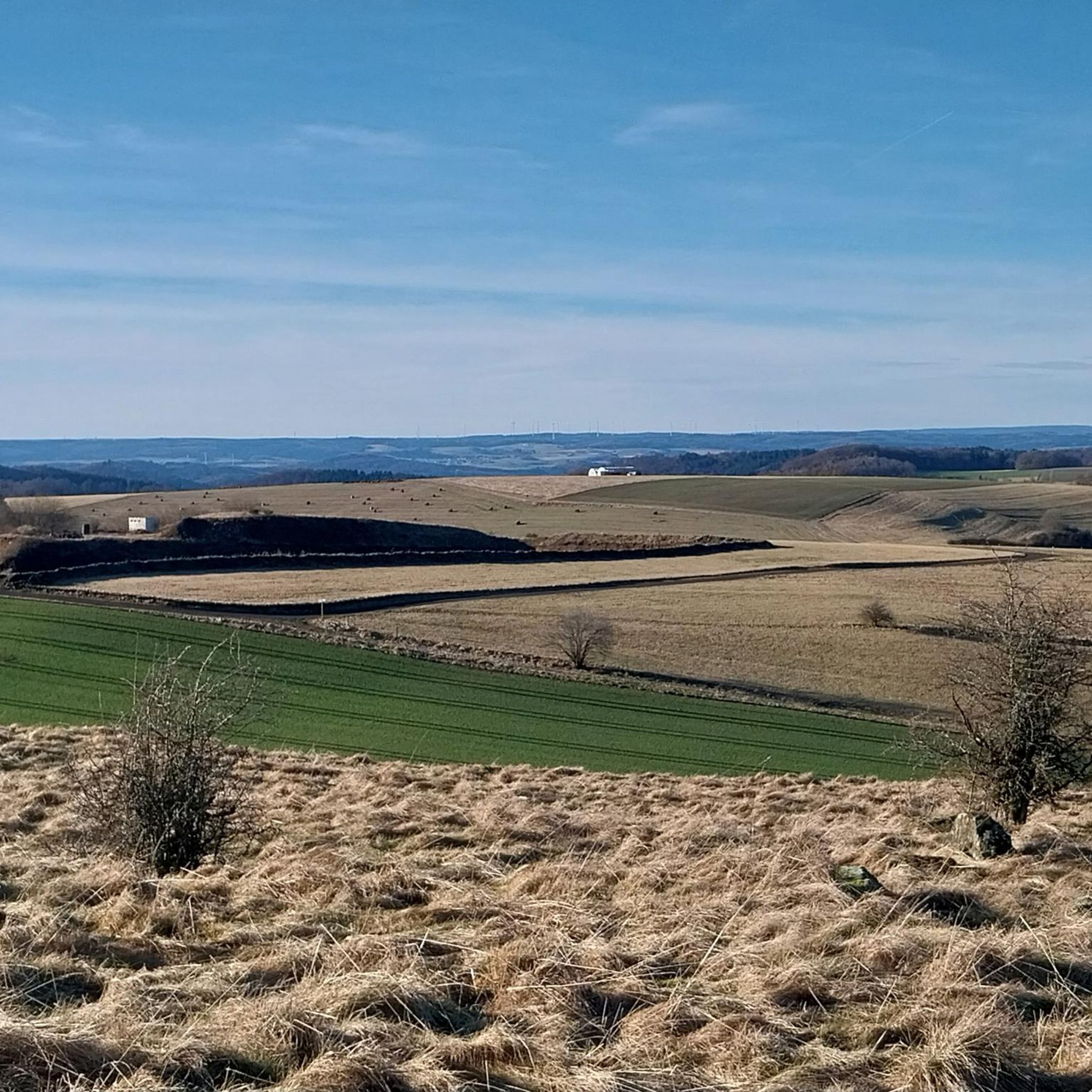
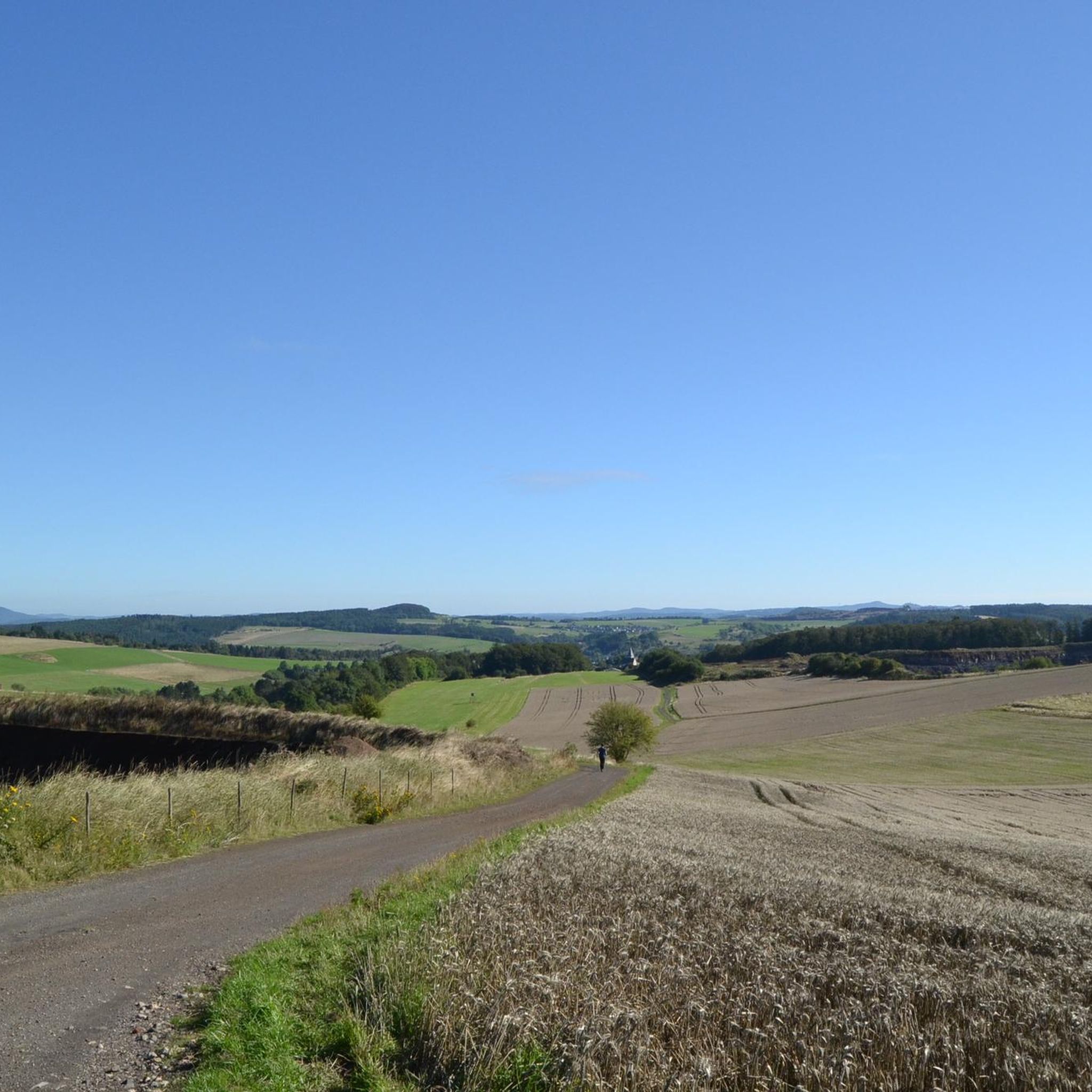
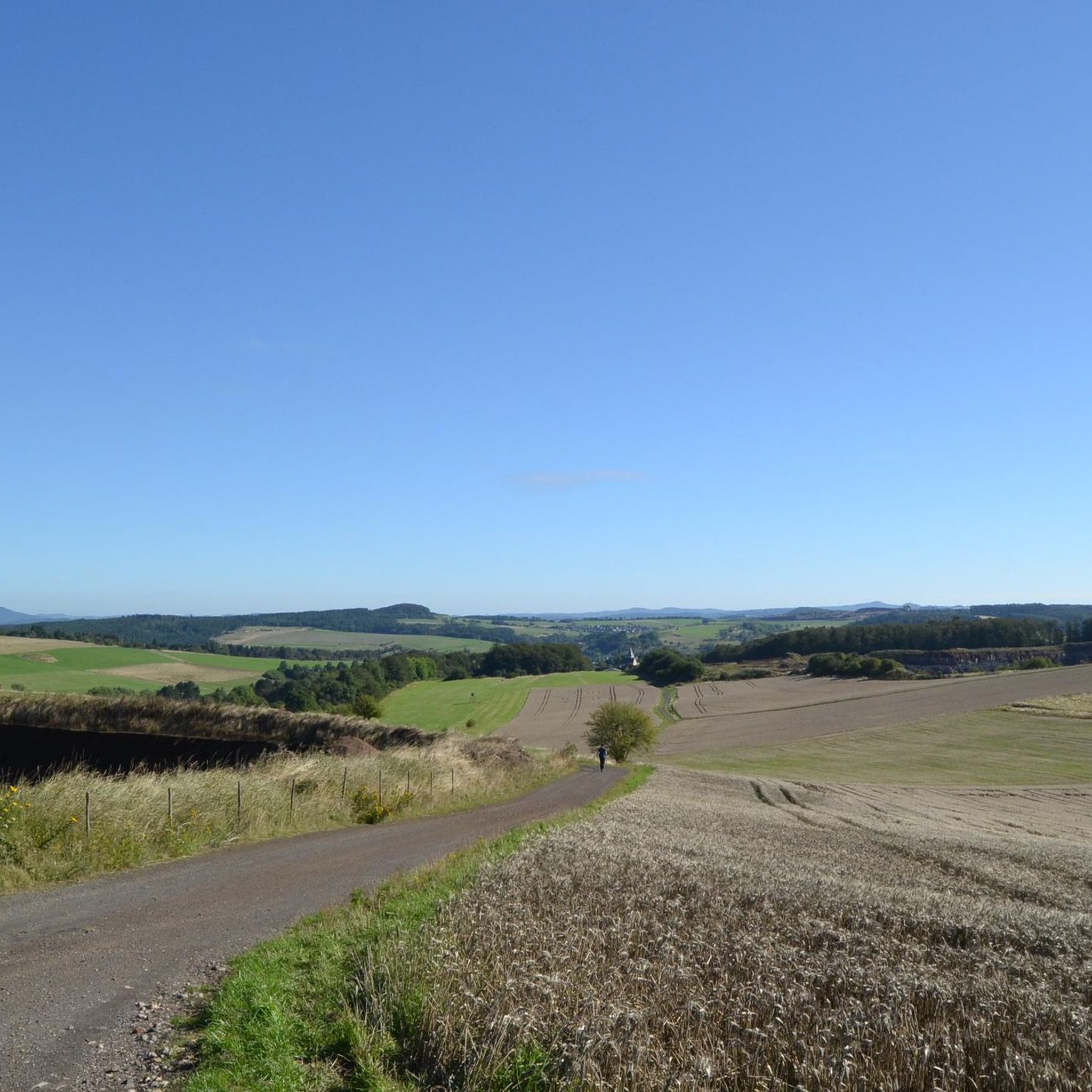
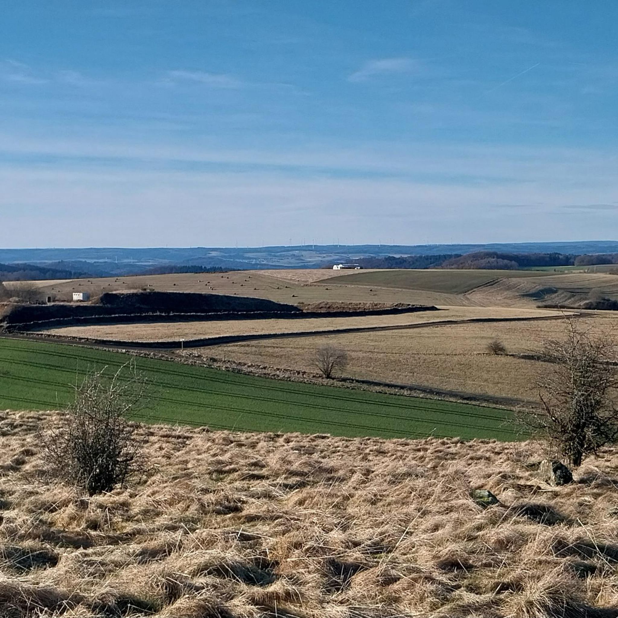
Road cycling routes around Hinterweiler are defined by the unique volcanic Eifel landscape, offering varied terrain from rolling hills to challenging ascents. The region features numerous maars (volcanic lakes) and converted railway lines, providing smooth and scenic riding experiences. Cyclists can explore dynamic routes through forests, valleys, and expansive landscapes, with options for different levels of expertise.
Best road cycling routes around Hinterweiler
- The most popular road cycling route is Kyll Cycle Path near Lissingen – Meerfelder Maar loop from Steinborn, a 39.6 miles (63.8 km) trail that takes 3 hours 16 minutes to complete, offering views of the volcanic lakes.
- Another top favourite among local road cyclists is View of the Kasselburg – Löwenburg Gerolstein loop from Steinborn, a moderate 25.9 miles (41.7 km) path that winds through the Eifel landscape with panoramic viewpoints.
- Local road cyclists also love the Kerpen Castle – Hillesheim City Wall loop from Steinborn, a 31.4 miles (50.5 km) trail leading through historical areas and rolling hills, often completed in about 2 hours 43 minutes.
- Road cycling around Hinterweiler is defined by volcanic hills, serene maars, and converted railway lines, offering a network of routes for various ability levels.
- The routes in Hinterweiler are highly rated by the komoot community with an average score of 4.6 stars from over 270 reviews. More than 3,200 road cyclists have used komoot to explore Hinterweiler's varied terrain.
Last updated: June 26, 2026
3.8
(5)
80
riders
63.8km
03:14
940m
940m
Hard road ride. Very good fitness required. Some segments of this route may be unpaved and difficult to ride.
5.0
(1)
20
riders
41.7km
02:14
810m
810m
Moderate road ride. Good fitness required. Mostly well-paved surfaces and easy to ride.

Sign up for free
5.0
(1)
18
riders
50.5km
02:43
740m
740m
Moderate road ride. Good fitness required. Some segments of this route may be unpaved and difficult to ride.
8
riders
Moderate road ride. Good fitness required. Mostly well-paved surfaces and easy to ride.
7
riders
65.4km
03:33
1,060m
1,050m
Hard road ride. Very good fitness required. You may need to push your bike for some segments of this route.
Get access to more routes and recommendations from other explorers.
Sign up for free
Already have an account?
Our route recommendations are based on thousands of hikes, rides, and runs completed by other people on komoot.
Start today with a free account
Your next adventure awaits.
Login or Signup

Other adventures around Hinterweiler

Tips from the Community

The combination indicated in the highlight name may seem unusual, but it is correct. So, in order: In the early centuries AD, this area was part of the Roman Empire, and excavations on the site of the present-day Erlöserkirche revealed the remains of a Roman Villa Rustica. The foundation walls can be viewed on site, and a museum directly next to the church displays finds from the excavations. More than one and a half millennia after the era of the Villa Rustica, i.e., in the early 20th century (1911 to 1913), the still existing Protestant Erlöserkirche was built here. Its construction dates back to Kaiser Wilhelm and his wife. The rich decoration with mosaic depictions makes this house of worship unique.
1
0
As so often, this former monastery is also represented multiple times in the komoot system, for the original see =>> https://www.komoot.com/de-de/highlight/834765
1
0

For those with time, a visit to the Eagle and Wolf Park is certainly interesting.
0
0
In the long-gone days of our grandparents, a central bakehouse was common for the village community. In many places, these were eventually demolished. Here in Bolsdorf, however, it has been preserved and still bears witness to the old days.
6
0

Million dollar view of the castle
0
0

Perfect asphalt and moderate incline :) perfect for performance testing!
0
0

Great view of Kasselburg Castle near Pelm.... https://youtu.be/PV6yleBZNYU
0
0

Frequently Asked Questions
What kind of terrain can I expect when road cycling around Hinterweiler?
Road cycling around Hinterweiler is characterized by the unique volcanic Eifel landscape. You'll encounter varied terrain, from rolling hills to challenging ascents, with dynamic routes winding through forests, valleys, and expansive landscapes. The region's maars (volcanic lakes) and converted railway lines also offer smoother, scenic riding experiences.
Are there road cycling routes for all skill levels in Hinterweiler?
Yes, Hinterweiler offers a diverse network of road cycling routes catering to various ability levels. Out of over 220 routes, you'll find 14 easy routes, 122 moderate routes, and 90 difficult routes, ensuring options for leisure cyclists, families, and those seeking a challenge.
What natural features and landmarks can I see along the road cycling routes?
The routes often pass by stunning natural features and historical landmarks. You can cycle past serene maars like the View of the Gemünden maar and Schalkenmehrener Maar. Many routes also offer panoramic views from points like the Dronke Tower on the Mäuseberg, and some may lead you near the unique Dreimühlen Waterfall or historical sites like Manderscheid Castle.
Is parking available for cyclists in Hinterweiler?
While specific parking areas for cyclists in Hinterweiler are not detailed, the Eifel region generally provides various starting points for cycle routes, often with parking facilities. Many routes, like the Kyll Cycle Path near Lissingen – Meerfelder Maar loop from Steinborn, begin from nearby villages such as Steinborn or Dockweiler, where parking is typically available.
When is the best time of year for road cycling in Hinterweiler?
The Eifel region, including Hinterweiler, is generally best for road cycling during the warmer months, from spring through autumn. During these seasons, the weather is more favorable, and the landscapes are vibrant, offering the most enjoyable conditions for exploring the volcanic hills and maars.
Are there family-friendly road cycling routes around Hinterweiler?
Yes, the region offers routes suitable for families. Converted railway lines provide paths with gentle gradients, making them accessible for leisure cyclists and families. While some paths can be steep, there are many options with easier inclines, allowing for enjoyable family outings.
How challenging are the ascents on road cycling routes in Hinterweiler?
The ascents vary significantly. While some routes feature gentle gradients, particularly on converted railway lines, the volcanic Eifel landscape also includes rolling hills and occasional steep inclines. For example, the Kyll Cycle Path near Lissingen – Climb to Rom loop from Betteldorf involves over 1000 meters of elevation gain, offering a significant challenge for experienced riders.
What do other road cyclists enjoy the most about road cycling in Hinterweiler?
The area is highly rated by the komoot community, with an average score of 4.6 stars from over 270 reviews. Reviewers often praise the unique volcanic landscape, the serene maars, and the well-signposted routes that offer a mix of challenging climbs and scenic, smoother sections on converted railway lines.
Can I combine different cycle paths to create longer tours?
Absolutely. The Eifel region boasts a network of well-signposted cycle paths, including river cycle paths along the Kyll, Prüm, Sauer, and Enz, as well as themed routes. The interconnectivity of these paths allows for flexible tour planning, enabling you to combine them to create tours of varying lengths and difficulties, from short day trips to multi-stage cycling holidays.
Are there any historical sites to explore while road cycling near Hinterweiler?
Yes, many road cycling routes in the region pass by historical attractions. For instance, the Kerpen Castle – Hillesheim City Wall loop from Steinborn leads through historical areas, including the impressive Kerpen Castle and the ancient city wall of Hillesheim, adding a cultural dimension to your ride.
Are there loop routes available for road cycling around Hinterweiler?
Yes, many road cycling routes around Hinterweiler are designed as loops, allowing you to start and end in the same location. Examples include the View of the Kasselburg – Löwenburg Gerolstein loop from Steinborn and the Hillesheim City Wall – View of Gerolstein Castle loop from Dockweiler, providing convenient options for circular tours.
Are dogs allowed on road cycling routes in Hinterweiler?
While the Eifel region is generally outdoor-friendly, specific regulations regarding dogs on road cycling routes can vary. It's always best to check local signage or with the regional tourism office for specific rules on cycle paths, especially those that might pass through nature reserves or protected areas.
Most popular routes around Hinterweiler
Most popular attractions around Hinterweiler

Get inspired with the komoot mobile app


Explore more
Browse the best Road cycling routes in other regions.
