The best walks and hikes in Kalmarnäslandet
4.5
(10)
31
hikers
10
hikes
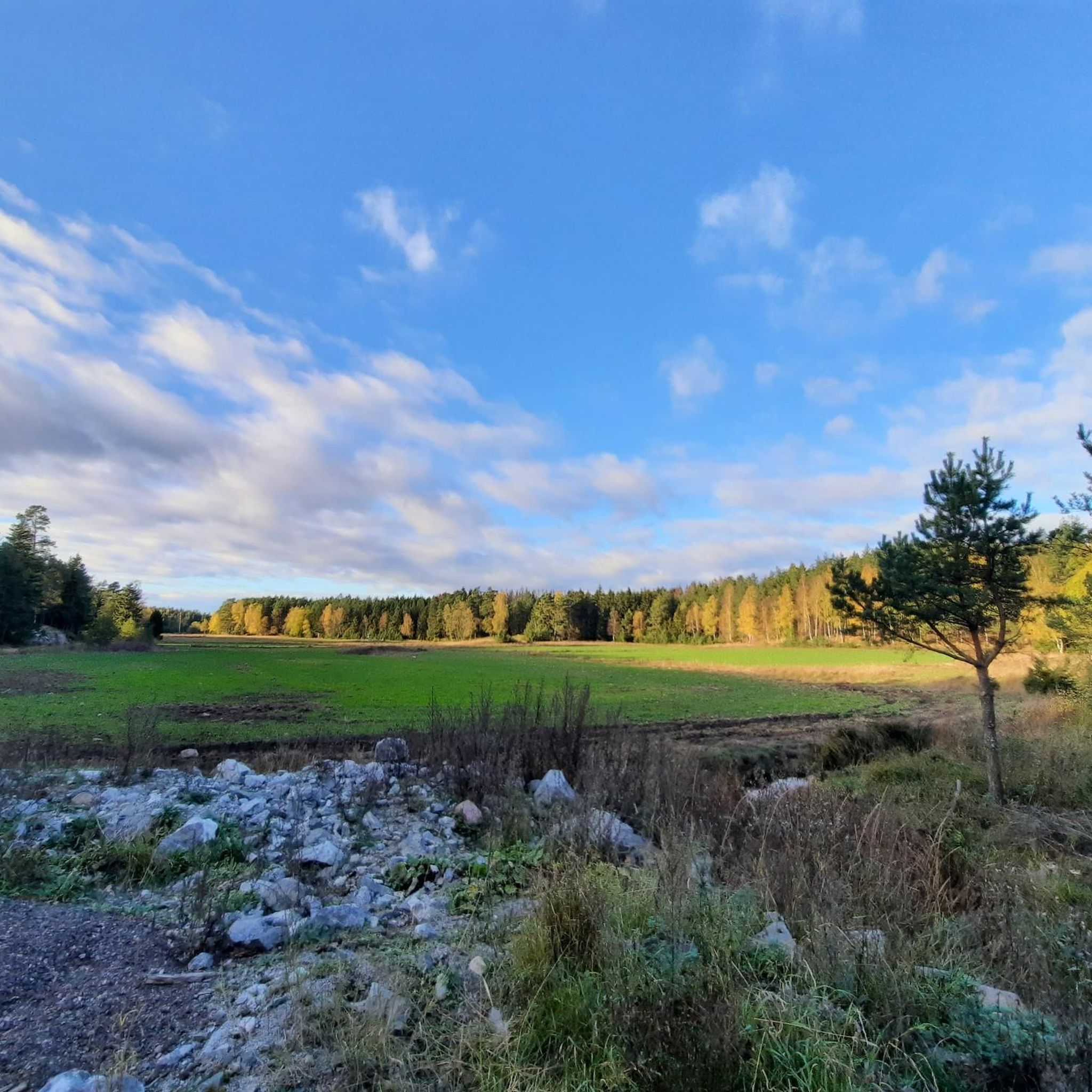
Hiking in Kalmarnäslandet offers diverse natural features within its nature reserve, making it a notable destination for outdoor activities. The region is characterized by softly polished rocks, knotty pines, and dramatic cliffs that plunge towards Lake Mälaren. Extensive stands of hazel bushes and large, gnarled oaks define the shoreline forests. Efforts are underway to restore a light and open forest environment.
Best hiking trails in Kalmarnäslandet
- The most popular hiking route is The Vattunöd trail — Härjarö Nature Reserve,…
Last updated: June 26, 2026
7
hikers
5.07km
01:18
20m
20m
Easy hike. Great for any fitness level. Easily-accessible paths. Suitable for all skill levels.
5.0
(1)
3
hikers
6.45km
01:41
40m
50m
Easy hike. Great for any fitness level. Easily-accessible paths. Suitable for all skill levels.

Sign up for free
3.8
(4)
11
hikers
10.2km
02:40
70m
70m
Moderate hike. Good fitness required. Easily-accessible paths. Suitable for all skill levels.
1
hikers
2.18km
00:35
20m
20m
Easy hike. Great for any fitness level. Easily-accessible paths. Suitable for all skill levels.
4.7
(3)
10
hikers
6.01km
01:34
40m
40m
Easy hike. Great for any fitness level. Easily-accessible paths. Suitable for all skill levels.
Get access to more routes and recommendations from other explorers.
Sign up for free
Already have an account?
Our route recommendations are based on thousands of hikes, rides, and runs completed by other people on komoot.
Start today with a free account
Your next adventure awaits.
Login or Signup
Popular around Kalmarnäslandet

Tips from the Community

A lovely multi-sport track just outside Bålsta. Some tracks designed for MTB users, but walkers and hikers are welcome as well. The paths go through lovely and a bit hilly forest. Additionally, you will here a disc golf course and an electric light tracks.
0
0

This is a short, two-kilometre-long exercise track that runs through Granåsen nature reserve. It is a beautiful, undulating track that runs through a typical Swedish spruce forest. In the winter the track is transformed into a prepared ski trail, which is covered in artificial snow.
0
0
Frequently Asked Questions
How many hiking trails are available in Kalmarnäslandet?
Kalmarnäslandet offers a selection of 8 hiking trails, catering to various preferences. These include 3 easy routes and 5 moderate options, ensuring there's something for different fitness levels.
What kind of terrain can I expect on the hiking trails in Kalmarnäslandet?
The terrain in Kalmarnäslandet is quite varied. You'll find areas with softly polished rocks, dramatic cliffs plunging towards Lake Mälaren, and enchanted forests with large, gnarled oaks and hazel bushes. Trails like The Vattunöd trail — Härjarö Nature Reserve showcase these diverse features, including stunning views of Lake Mälaren.
Are there any easy hiking trails suitable for beginners or shorter outings?
Yes, Kalmarnäslandet has several easy trails. For a shorter, accessible walk, consider the Granåsen Nature Reserve loop from Balsta Ski Resort, which is 2.2 km long and leads through varied forest terrain. Another easy option is the Härjarö loop from Härjarö, which is 6.5 km and offers scenic views through diverse woodlands.
Are there any circular hiking routes in Kalmarnäslandet?
Yes, many of the trails in Kalmarnäslandet are designed as loops. Examples include the Granåsen Nature Reserve loop from Balsta Ski Resort, the Härjarö loop from Härjarö, and the Lastberget loop from Härjarö, providing convenient options for hikers.
What natural features or viewpoints can I expect to see while hiking?
Kalmarnäslandet is known for its natural beauty. You can expect to see the softly polished rocks and 'bonsai-like' knotty pines around Vattunödsberget, offering lovely views of Lake Mälaren. The cliffs here plunge steeply towards the water, creating a dramatic landscape. The reserve also features enchanted forests with large, gnarled oaks and extensive hazel bushes along the shoreline.
When is the best time to hike in Kalmarnäslandet?
The best time to hike generally depends on your preferences. However, it's important to note that access to some of the steepest cliffs in Kalmarnäslandet is restricted during the bird breeding season, which runs from January 1st to July 31st. Outside of this period, you can enjoy the full range of trails and birdwatching opportunities.
Is Kalmarnäslandet suitable for birdwatching?
Yes, the cliffs of Kalmarnäslandet are an excellent spot for birdwatching. Ospreys and nearly 90 other bird species breed in the area. Keep in mind that access to some of the steepest cliffs is restricted during the bird breeding season from January 1st to July 31st to protect nesting birds.
Are there designated areas for barbecues or picnics?
Yes, Kalmarnäslandet provides designated barbecue areas for visitors. There's one at Vattunödsberget with a scenic view, perfect for enjoying a meal amidst nature. Additionally, an accessible barbecue area is located near the parking lot, offering convenience for all visitors.
What do other hikers enjoy most about Kalmarnäslandet?
The hiking routes in Kalmarnäslandet are highly rated by the komoot community, with an average score of 4.5 stars from over 10 reviews. Hikers often praise the diverse natural features, including the dramatic cliffs, varied forests, and scenic views of Lake Mälaren. The options for different ability levels, from easy to moderate, are also appreciated.
Is there parking available for hikers?
Yes, there is parking available in Kalmarnäslandet. Specifically, there is an accessible barbecue area located near the parking lot, indicating convenient access for visitors arriving by car.
Can I bring my dog on the hiking trails in Kalmarnäslandet?
While the guide does not specify explicit dog restrictions, nature reserves often have rules regarding dogs, such as keeping them on a leash. It's always best to check local signage upon arrival or the official Kalmarnäslandet nature reserve website for the most current regulations regarding pets.
Are there any longer, more challenging routes for experienced hikers?
For those seeking a longer, moderate challenge, the The Vattunöd trail — Härjarö Nature Reserve is a good option, spanning 10.2 km. Another moderate route is the Rösaringsåsens naturreservat loop from Rättarboda, which is 10.1 km long.

Get inspired with the komoot mobile app


Explore more
Browse the best Hikes in other regions.
