The best walks and hikes in Mallgårds Haid
4.7
(33)
142
hikers
18
hikes
Hiking in Mallgårds Haid offers a diverse landscape characterized by coastal paths, sea stacks, and nature reserves. The region, located in Gotland, features a mix of open meadows and areas like Folhammars naturreservat. Elevation changes are generally mild, making many routes accessible for various fitness levels.
Best hiking trails in Mallgårds Haid
- The most popular hiking route is Kungens Sal – Folhammar Sea Stacks loop from Folhammars naturreservat, a 6.9 miles (11.1 km) trail that takes 2 hours 50 minutes to complete, offering views of the iconic sea stacks.
- Another top favourite among local hikers is Folhammar Nature Reserve – Folhammar Sea Stacks loop from Mullvalds änges naturreservat, a moderate 6.6 miles (10.7 km) path, winding through a nature reserve and along the coast.
- Local hikers also love the Kungens Sal – Sjaustru Fishing Village loop from Ollajvs naturreservat, a 12.2 miles (19.7 km) trail leading through coastal areas and past a fishing village, often completed in about 5 hours.
- Hiking in Mallgårds Haid is defined by coastal paths, sea stacks, and nature reserves, with options ranging from easy strolls to more challenging long-distance routes.
- The routes in Mallgårds Haid are highly rated by the komoot community with an average score of 4.7 stars from over 30 reviews. More than 100 hikers have used komoot to explore Mallgårds Haid's varied terrain.
Last updated: June 25, 2026
5.0
(1)
9
hikers
Moderate hike. Good fitness required. Easily-accessible paths. Suitable for all skill levels.
5.0
(2)
5
hikers
Moderate hike. Good fitness required. Easily-accessible paths. Suitable for all skill levels.

Sign up for free
5.0
(1)
8
hikers
Hard hike. Very good fitness required. Easily-accessible paths. Suitable for all skill levels.
5.0
(1)
12
hikers
Easy hike. Great for any fitness level. Easily-accessible paths. Suitable for all skill levels.
5.0
(2)
5
hikers
Moderate hike. Good fitness required. Easily-accessible paths. Suitable for all skill levels.
Get access to more routes and recommendations from other explorers.
Sign up for free
Already have an account?
Our route recommendations are based on thousands of hikes, rides, and runs completed by other people on komoot.
Start today with a free account
Your next adventure awaits.
Login or Signup
Popular around Mallgårds Haid
Tips from the Community

440 million years ago, Gotland lay under the water of a tropical sea, near the equator. What stands today as mighty limestone pillars between old spruces was once a reef. The sea has eroded away the softer surroundings, leaving behind the hard substance, packed with fossils from a bygone marine era. What's special about these Raukar is their location. Not on the beach, but in the middle of the forest. Gotland is still rising out of the sea, and so the formations have moved inland from the shore over the millennia. The light falls through the branches onto the old stones, creating an atmosphere that is hard to describe.
0
0
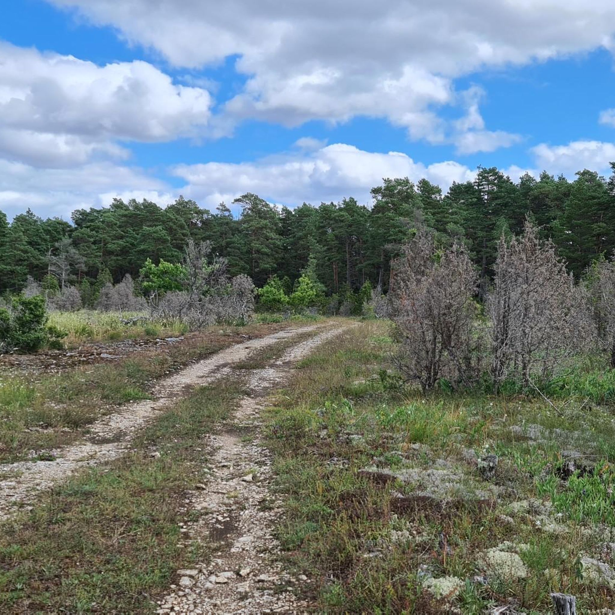
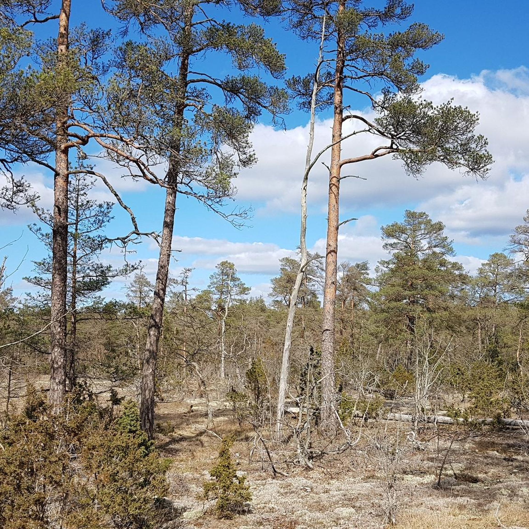
This coastal forest is one of the most impressive on Gotland. Old pines and spruces grow here on windblown sand, the ground is soft, and between the trees there is a scent of resin and sea. If you keep your eyes open, you will suddenly discover Raukar in the middle of the forest, ancient limestone formations that once stood on the beach and have been moved inland by the slow uplift of the land. The area is a nature reserve, so stay on the paths and do not take any sand or stones with you.
0
0


An incredible section of coastline, known for eye-catching limestone formations called "raukar" Some of these sea stacks reach heights of up to 6 meters.
1
0

Lots of berries and a grill place underneath the cliff to the southeast.
0
0

The "National Hall" or the "King's" hall is a rounded formation of rauks. It was created over 440 million years ago. Together with lush spruce forest, it becomes a magical environment and is a popular excursion destination.
1
0
Frequently Asked Questions
What is the general difficulty level of hiking trails in Mallgårds Haid?
Mallgårds Haid offers a range of hiking difficulties. The region is known for its generally mild elevation changes, making many routes accessible. Out of 18 available routes, 8 are classified as easy, 9 as moderate, and only 1 as difficult, catering to various fitness levels.
What are the typical lengths of hikes in Mallgårds Haid?
Hikes in Mallgårds Haid vary in length. You can find shorter, easy strolls, such as the Folhammar Nature Reserve – Folhammar Sea Stacks loop which is about 3.1 miles (5 km). Longer routes, like the Kungens Sal – Sjaustru Fishing Village loop, can extend up to 12.2 miles (19.7 km).
Is parking available near the hiking trails in Mallgårds Haid?
Yes, parking is generally available at popular starting points for trails, especially near nature reserves like Folhammars naturreservat and Mullvalds änges naturreservat. It's always advisable to check specific route details on komoot for designated parking areas.
Are there family-friendly hiking options in Mallgårds Haid?
Absolutely. With 8 easy routes and generally mild elevation changes, Mallgårds Haid is well-suited for families. Shorter, well-maintained paths within nature reserves, such as the Folhammar Nature Reserve – Folhammar Sea Stacks loop, are ideal for families with children.
Are dogs allowed on the hiking trails in Mallgårds Haid?
Dogs are generally welcome on trails in Mallgårds Haid, especially in open areas and on public paths. However, specific rules may apply in nature reserves or protected areas, particularly regarding keeping dogs on a leash to protect wildlife. Always check local signage.
When is the best time of year to go hiking in Mallgårds Haid?
The best time for hiking in Mallgårds Haid is typically from late spring to early autumn (May to September). During these months, the weather is milder, and the coastal landscapes and meadows are at their most vibrant. Summer offers longer daylight hours, while spring and autumn provide pleasant temperatures and fewer crowds.
What kind of scenic views can I expect on hikes in Mallgårds Haid?
Hikes in Mallgårds Haid offer diverse and beautiful scenery. You can expect stunning coastal paths with views of the Baltic Sea, unique sea stacks (raukar), and serene nature reserves featuring open meadows and varied flora. The region's charm lies in its blend of rugged coastline and tranquil inland landscapes.
Are there good circular hiking routes in Mallgårds Haid?
Yes, many of the popular routes in Mallgårds Haid are circular, allowing you to start and end at the same point. Examples include the Kungens Sal – Folhammar Sea Stacks loop and the Folhammar Sea Stacks – Folhammar Nature Reserve loop, which are excellent for exploring the area without retracing your steps.
What essential gear should I bring for hiking in Mallgårds Haid?
For hiking in Mallgårds Haid, it's recommended to bring comfortable walking shoes suitable for varied terrain, layers of clothing to adapt to changing coastal weather, water, and snacks. Sun protection is also advisable, especially on open coastal paths. A map or GPS device is useful for navigation.
What do other hikers enjoy the most about hiking in Mallgårds Haid?
The area is highly rated by the komoot community, with an average score of 4.7 stars from over 30 reviews. Reviewers often praise the unique coastal landscapes, the impressive sea stacks, and the tranquility of the nature reserves. Many appreciate the well-marked paths and the opportunity to experience Gotland's distinctive natural beauty.
Are there accessible hiking paths in Mallgårds Haid for those with mobility considerations?
While many trails feature natural surfaces, the generally mild elevation changes in Mallgårds Haid mean some sections, particularly within nature reserves or near popular viewpoints, may be suitable for those seeking easier, flatter paths. It's best to check individual route descriptions for surface conditions and accessibility details.
What are the conditions like for winter hiking in Mallgårds Haid?
Winter hiking in Mallgårds Haid can offer a unique, serene experience, often with fewer visitors. However, conditions can be cold and windy, especially along the coast. Paths may be icy or muddy, so appropriate winter gear, including sturdy, waterproof footwear and warm clothing, is essential. Daylight hours are also significantly shorter.

Get inspired with the komoot mobile app


Explore more
Browse the best Hikes in other regions.
