The 6 Most Amazing Peaks around Kerzenheim
Mountain peaks around Kerzenheim are situated in a hilly region within the Donnersbergkreis district of Rhineland-Palatinate, Germany. Kerzenheim itself lies at an elevation of 201 meters on the northern edge of the Palatinate Forest, transitioning into the Eisenberg Basin. The broader district features significant elevations that provide opportunities for outdoor activities. The most prominent is the Donnersberg, with its summit Königsstuhl, which is the highest point in the Palatinate region.
Best mountain peaks around Kerzenheim
- The most popular mountain peaks…
Last updated: August 25, 2026
Königsstuhl (Donnersberg summit)
Highlight • Summit
Showing Translation
Tip by

Kamelkopf Rock Formation
Highlight • Natural Monument
Translated by Google •
Tip by

Sign up now to discover places like this
Get recommendations on the best single tracks, peaks, & plenty of other exciting outdoor places.
Sign up for free
Krummholzer Stuhl (Roman quarry)
Highlight • Historical Site
Source (quoted verbatim): tourenplaner-rheinland-pfalz.de/de/punkt/felsen/krummholzer-stuhl/13353106/#caml=a14,1cgehp,86n3qd,0,0
Translated by Google •
Tip by

Kieskautberg (461 m)
Highlight (Segment) • Summit
The Kieskautberg is a 461 m high mountain two kilometers south of Carlsberg.
Translated by Google •
Tip by

Toter Mann — summit cross with skull
Highlight • Summit
Translated by Google •
Tip by

Sign up for free to discover even more peaks around Kerzenheim.
Sign up for free
Already have an account?
Start today with a free account
Your next adventure awaits.
Login or Signup
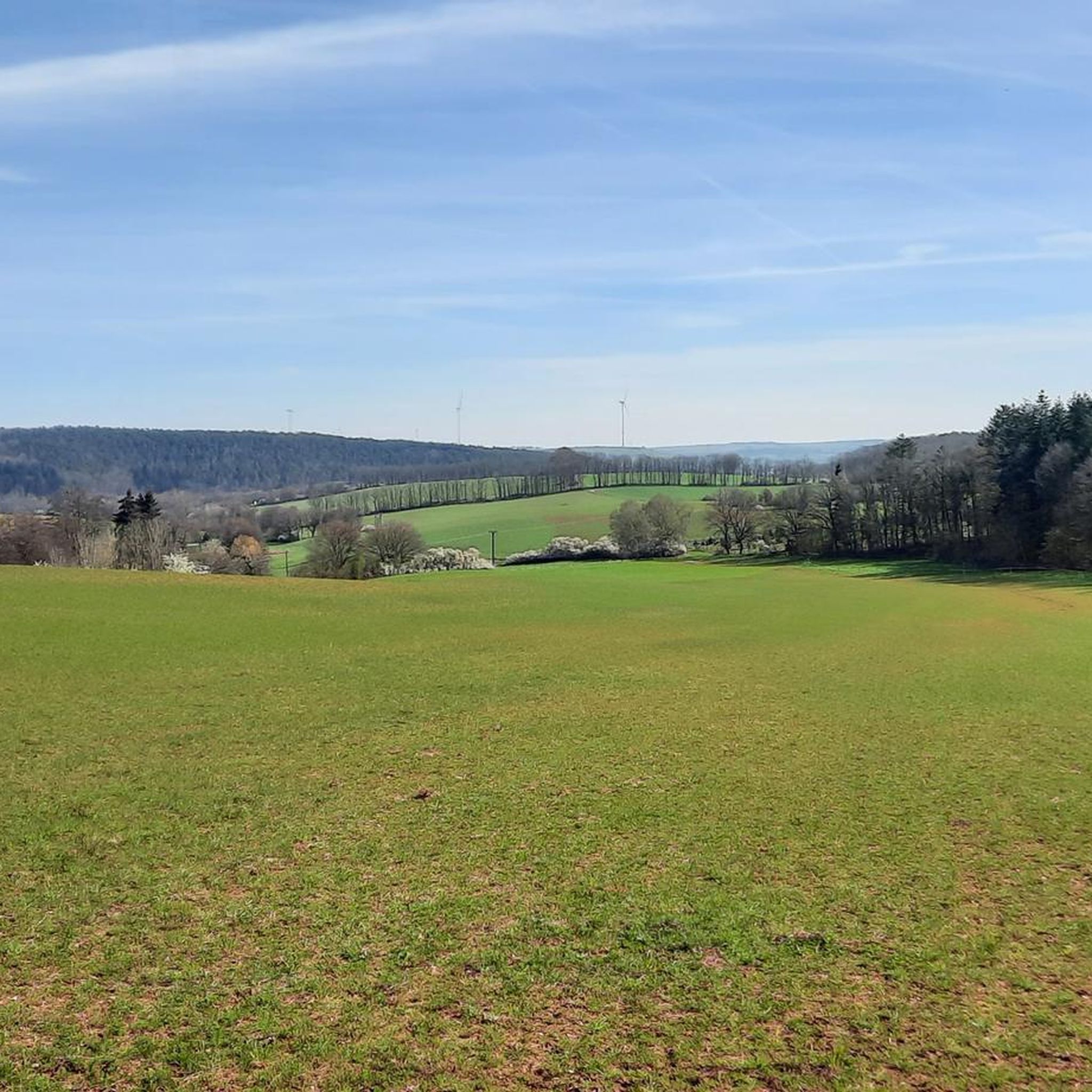
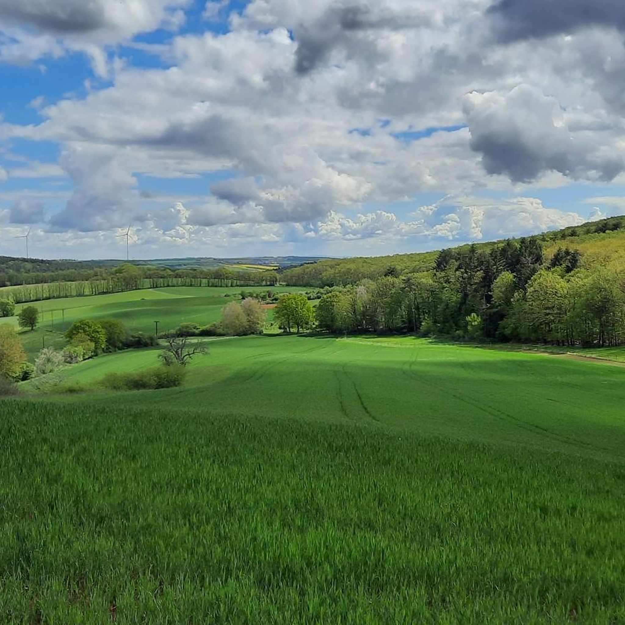
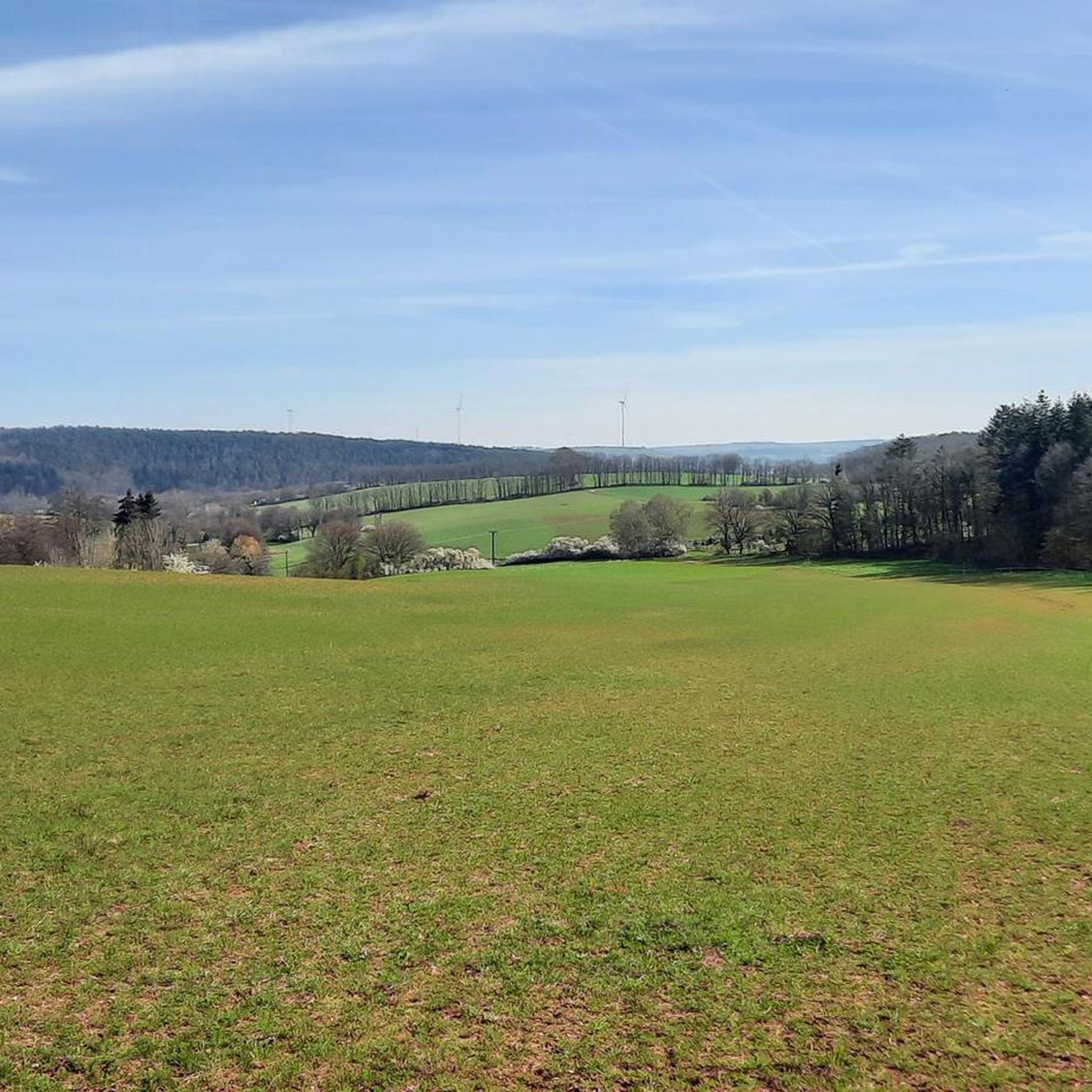
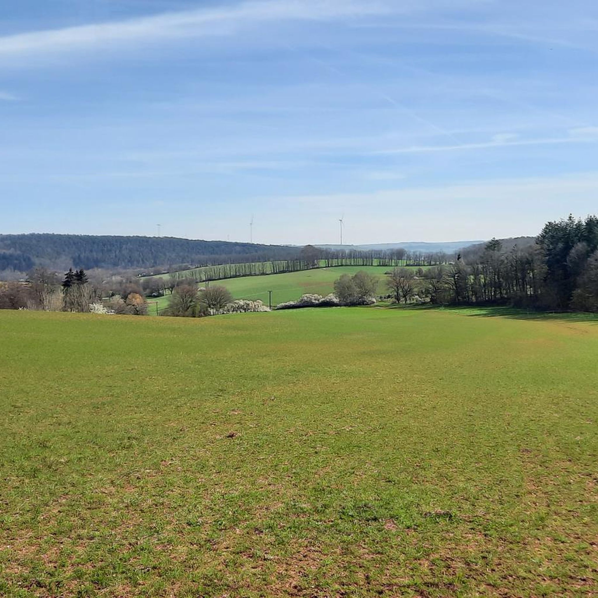
Tips from the Community

Original and fitting for the hill's name
0
0

This impressive rock on the Leininger Burgenweg actually looks a bit like a camel's head.
2
2

"The border between the Freinsheim collective municipality [south; you can see that from the 2 benches] and Grünstadt-Land [north] runs above the Kieskautberg." Source (quoted verbatim): https://www.tourenplaner-rheinland-pfalz.de/de/tour/wanderung/leininger-klosterweg-premiumwanderweg-mit-audio-und-video-stationen/12182719/
2
0

Origin of name according to Wikipedia: The mountain was originally called “Spießberg”. It owes its current name to two tragic events. In 1617, “a dead man” was found on the path and the Ganerben forester ordered the body to be buried on the spot. In 1787, below the mountain, in the Langental (Zwingweiler desert), “a dead man was found and is actually still lying on the blaz”. An administration examined the body and determined the cause of death to be a stroke. The dead man was a shepherd named Christoph Vollmar from Carlsberg. Popularly known as this for a long time, Bavarian maps from the period after 1830 definitively identify the mountain as the “Dead Man”.
4
0

Surprising sight in the Palatinate Forest. Funny staged.
0
0

More than 1800 years ago the rock was used by the Romans as a quarry. Stone coffins are said to have been made from its stone, as well as parts of the city wall of the former imperial city of Worms am Rhein. In any case, the Krumholzer Stuhl also served as an important boundary mark for the Ganerben, as evidenced by numerous boundary marks in the stone. Source: https://www.pfalz.de/de/sehenswuerdigkeit/pfaelzerwald-krumholzerstuhl
4
0

Unfortunately, the view is severely impaired by the foliage of the trees. Maybe the view is better in winter and spring.
1
0
In summer unfortunately no view from "above", but nice to walk. Boundary stones from 1838 and 1826 can also be found on this section.
1
0
Frequently Asked Questions
What is the highest mountain peak in the region around Kerzenheim?
The highest point in the Palatinate region, and a prominent peak near Kerzenheim, is Königsstuhl (Donnersberg summit). It stands at 686 meters (approximately 2,251 feet) and offers expansive vistas.
Are there any unique natural rock formations to explore near Kerzenheim?
Yes, you can visit the Kamelkopf Rock Formation. This impressive red sandstone rock, located on the Leininger Burgenweg at 375 meters on the Kupferberg, is known for its striking resemblance to a camel's head.
What kind of views can I expect from the mountain peaks in the Donnersbergkreis district?
From peaks like Königsstuhl (Donnersberg summit), you can expect breathtaking and expansive vistas across the Palatinate landscape. Other viewpoints like the Hirtenfels and Adlerbogen Viewpoint also offer excellent views, for instance, eastward over the Zellertal and Worms towards the Odenwald.
Are there family-friendly hiking options around the Donnersberg?
The area around Donnersberg, including the trails leading to Königsstuhl, offers various hiking trails. While specific 'family-friendly' categorizations aren't always explicit, many trails are suitable for different skill levels, allowing families to find appropriate routes. The diverse scenery makes it enjoyable for all ages.
What are some interesting historical or cultural sites on the peaks near Kerzenheim?
You can find the unique Toter Mann — summit cross with skull near Höningen. This summit is known for its historical name, stemming from tragic events in the 17th and 18th centuries, and features a distinctive summit cross.
What outdoor activities can I do near the mountain peaks around Kerzenheim?
Beyond hiking, the region offers various outdoor activities. You can find numerous hiking routes, cycling tours, and MTB trails. For example, there are moderate hiking loops around the Ruins of Rosenthal Monastery, and easy to moderate cycling routes like the Ludwigshalle on Kriegsberg loop from Kerzenheim.
When is the best time of year to hike the mountain peaks near Kerzenheim?
The mountain peaks, especially Königsstuhl, are considered worthwhile destinations at any time of the year due to their impressive views and diverse hiking opportunities. Spring and autumn offer pleasant temperatures and beautiful foliage, while summer provides longer daylight hours. Even winter can be rewarding for those prepared for colder conditions.
Are there any less crowded mountain trails or viewpoints in the area?
While popular spots like Königsstuhl can attract visitors, the broader Donnersberg region and Palatinate Forest offer many trails. Exploring areas around highlights like Kieskautberg (461 m), which features a beautiful section of the Leininger Klosterweg, might offer a more tranquil experience, especially on weekdays.
What are some of the community's favorite aspects of the mountain peaks around Kerzenheim?
Visitors frequently praise the breathtaking views and the fantastic feeling of standing on the highest points, such as Königsstuhl. The diverse hiking trails with varying difficulty levels and stunning scenery are also highly appreciated. The unique natural formations and historical sites add to the appeal.
Can I find trails with different difficulty levels near Kerzenheim's peaks?
Yes, the region offers a variety of trails catering to different skill levels. For instance, the area around Königsstuhl has many hiking trails of varying difficulty. Highlights like Toter Mann are described as offering intermediate hiking experiences, ensuring there's something for everyone.
Where can I find information about parking for hiking trails around Donnersberg?
While specific parking details for every trailhead are not provided here, many popular hiking areas, especially around the Donnersberg, typically have designated parking facilities. It's advisable to check local signage or specific tour descriptions on komoot for detailed parking information when planning your hike.
Most popular attractions around Kerzenheim

Get inspired with the komoot mobile app


Explore more
See even more amazing summits around Kerzenheim with these guides:
