The best walks and hikes in Anderstorps Stormosse
4.3
(218)
748
hikers
21
hikes
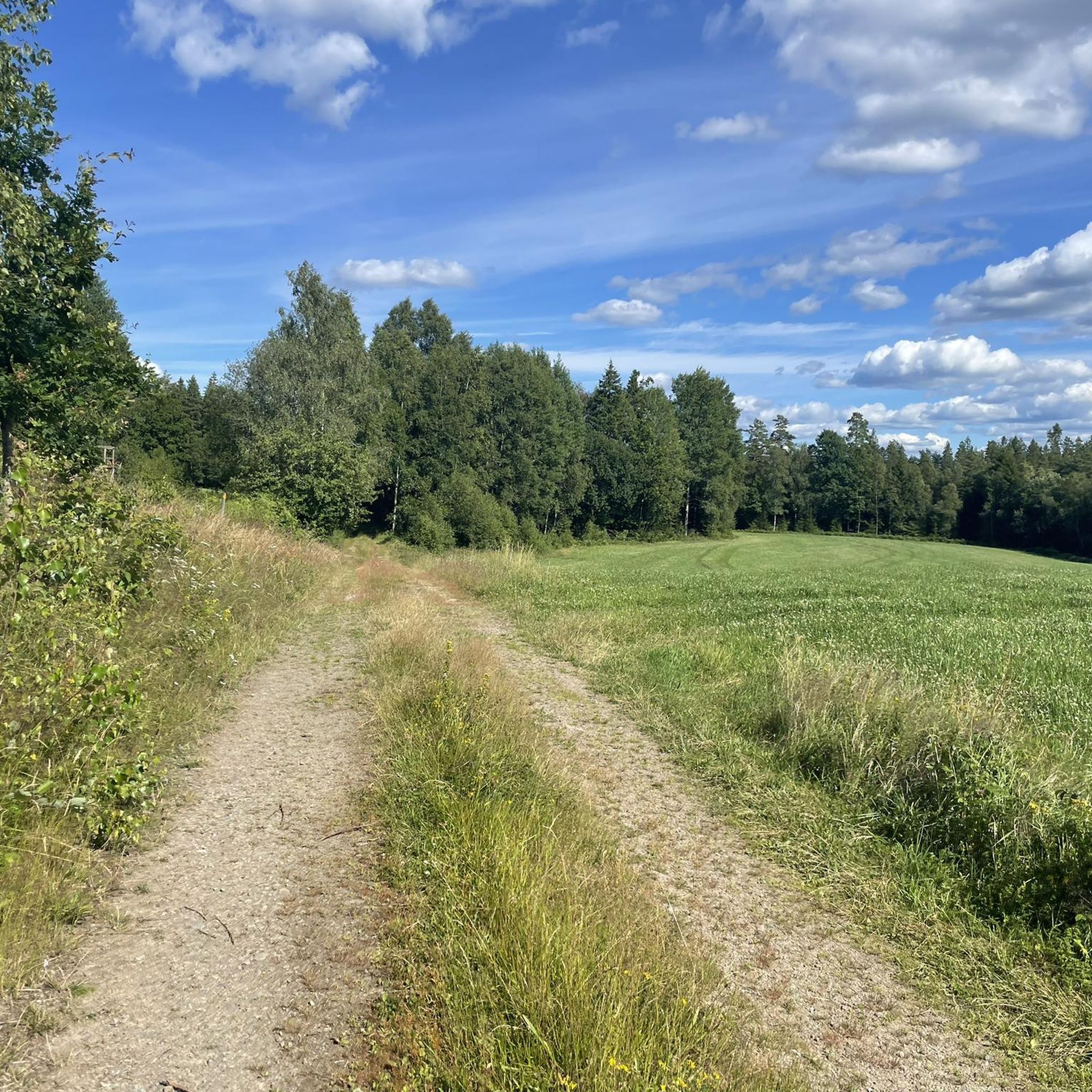
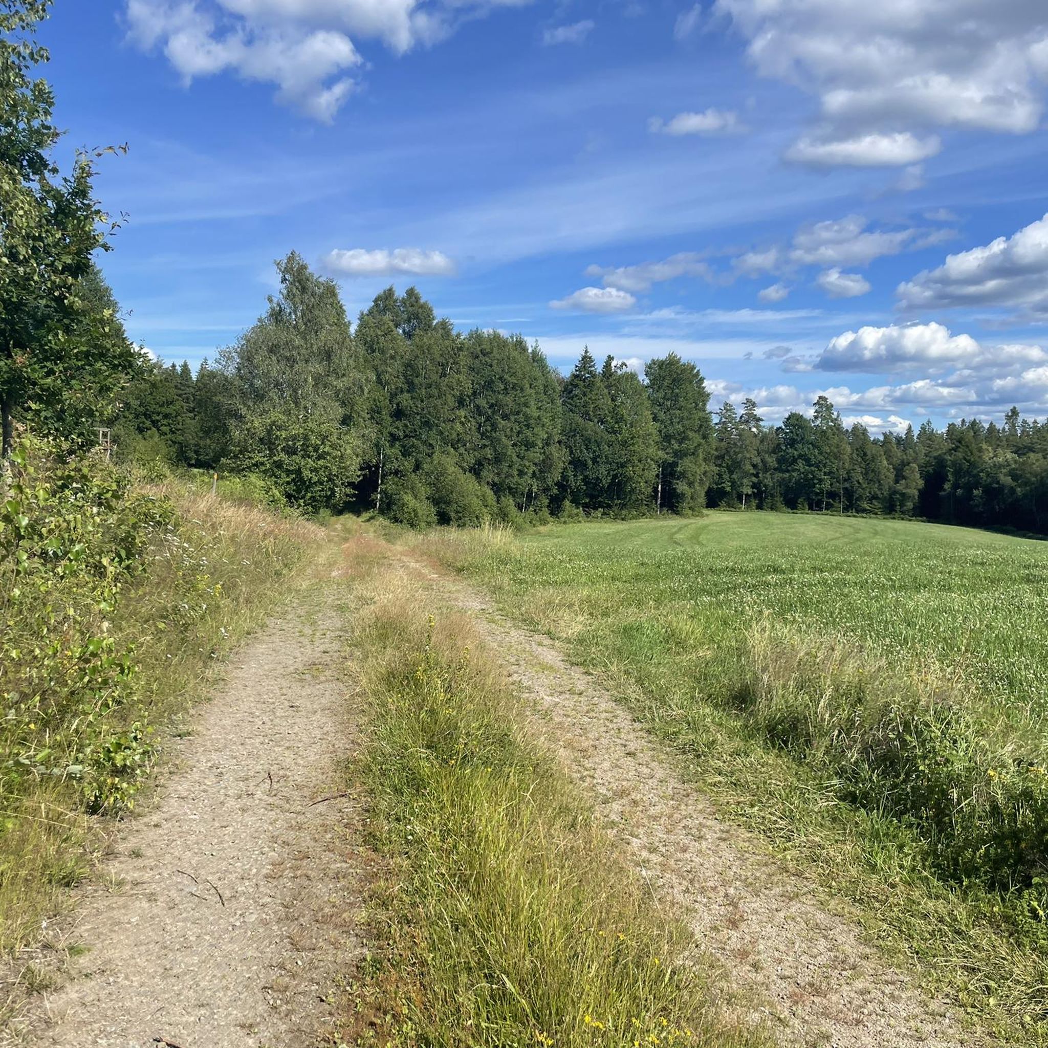
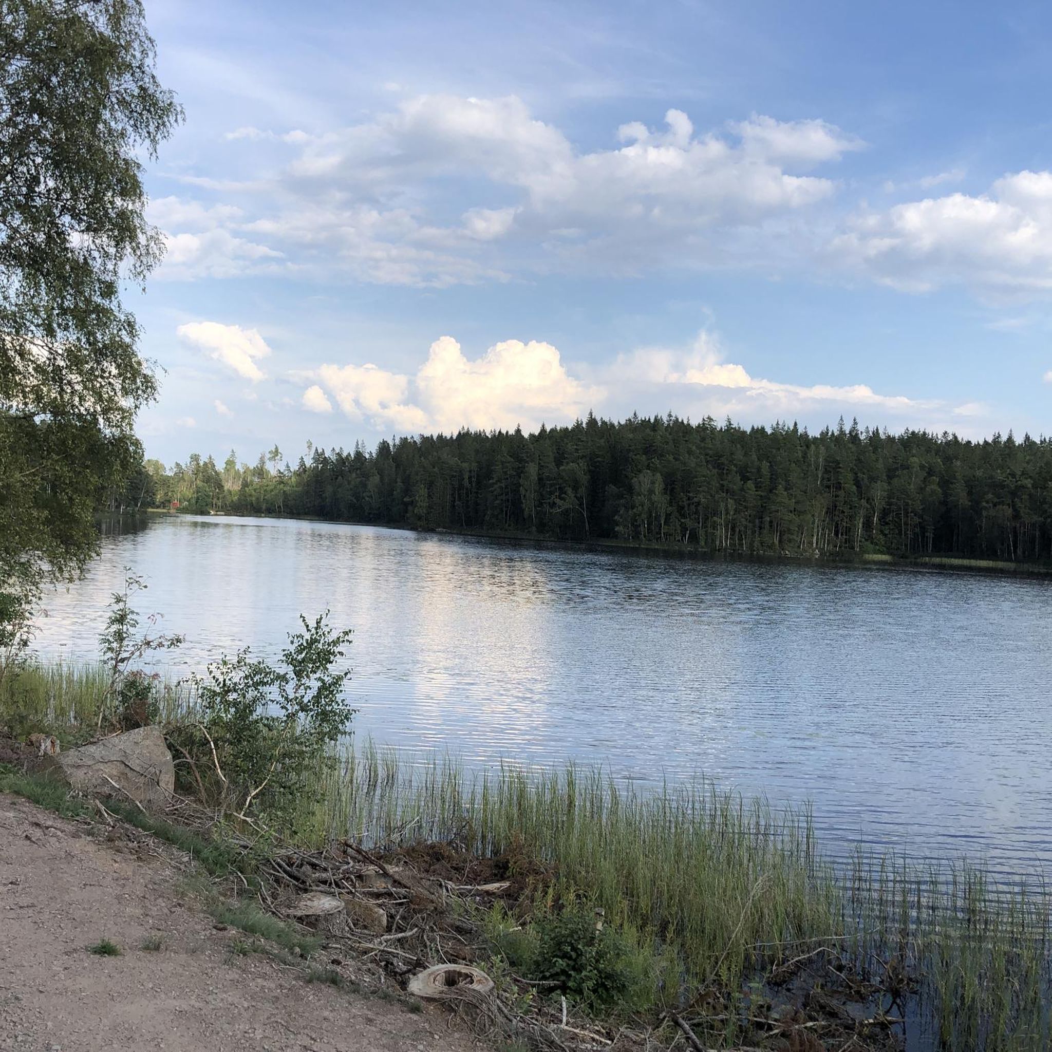
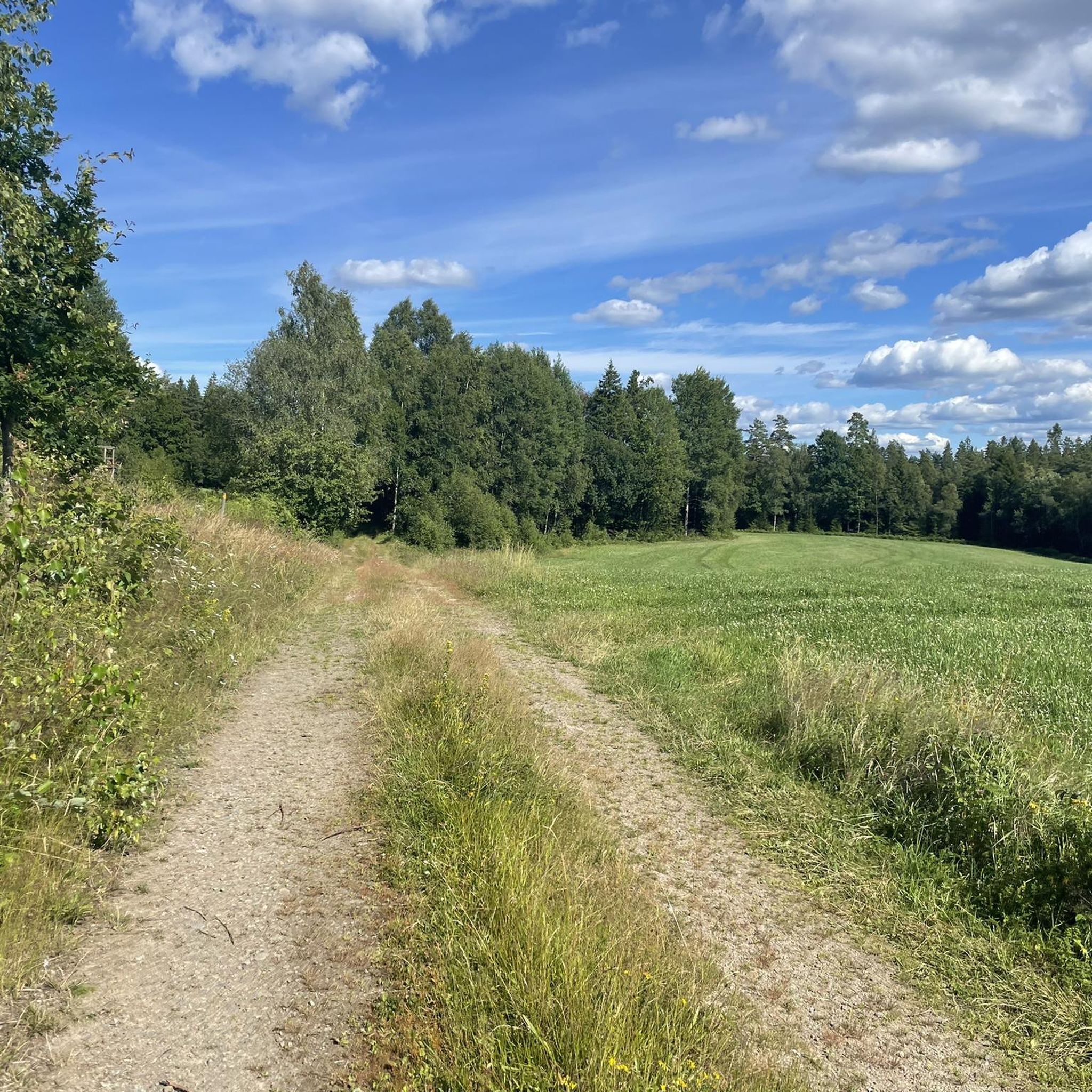
Hiking in Anderstorps Stormosse offers a network of trails through a landscape characterized by forests, open marshlands, and tranquil water bodies. The region features relatively flat terrain with gentle elevation changes, making it accessible for various fitness levels. Hikers can expect to encounter diverse natural environments, including wooded areas and sections near lakes or streams, within this extensive mire landscape. The area provides opportunities for exploring the unique ecosystem of a "stormosse" (large bog), with "myrholmar" (mire islets) featuring ancient…
Last updated: June 25, 2026
5.0
(2)
6
hikers
4.39km
01:07
10m
10m
Easy hike. Great for any fitness level. Easily-accessible paths. Suitable for all skill levels.
4.4
(40)
125
hikers
9.95km
02:36
70m
70m
Moderate hike. Good fitness required. Easily-accessible paths. Suitable for all skill levels.

Sign up for free
3
hikers
6.53km
01:45
80m
80m
Easy hike. Great for any fitness level. Easily-accessible paths. Suitable for all skill levels.
4.0
(1)
2
hikers
4.05km
01:03
30m
30m
Easy hike. Great for any fitness level. Easily-accessible paths. Suitable for all skill levels.
4.8
(29)
74
hikers
6.24km
01:39
60m
60m
Easy hike. Great for any fitness level. Easily-accessible paths. Suitable for all skill levels.
Get access to more routes and recommendations from other explorers.
Sign up for free
Already have an account?
Our route recommendations are based on thousands of hikes, rides, and runs completed by other people on komoot.
Start today with a free account
Your next adventure awaits.
Login or Signup
Tips from the Community

Public bathing area at Kyrkesjön with some free parking spaces. You can also stay overnight with your camper van. (Toilet available, water, electricity...not)
0
0

A nice, short hike along the river. Several boards inform you about the city's industrial past, but also about life in and around the river.
2
0

A hanging bridge built 1989 over the River Nissan, with a lovely view and surroundings.
9
0
Great area to have some rest from several of the trails going close by. It’s located in Ettö nature reserve in a place called svartvik. Here are good benches a fireplace and a nice sandy beach. And a really great view over the lake.
10
1

With a length of about 200 km, Nissan is one of the longer rivers in southern Sweden. The river originates from a raised bog south of Jönköping and initially has a northwestern direction. It then turns south-west and flows through Småland and Halland until it flows into the Kattegat at Halmstad. Several industrial plants were built on the river that took away the fluidity of the water. The salmon and trout of the river are important for anglers. In 1062 the naval battle took place here at the mouth of the Nissan River. Along the Nissan there is an old trade route, which was formerly called Nissastigen and is now called Riksväg 25. There has also been a railway line from Halmstad to Värnamo since 1877, which follows the river in the southern part.
4
1

Dog bathing beach with barbecue 🐕
1
0

Rustic suspension bridge over the foot Nissan. Part of the MTB trail S 1.
2
0
Frequently Asked Questions
What is the general difficulty level of hiking trails in Anderstorps Stormosse?
Anderstorps Stormosse offers a range of trails suitable for various fitness levels. The terrain is generally flat with gentle elevation changes. Out of 21 available routes, 15 are rated as easy, and 6 are moderate, making it accessible for most hikers. There are no difficult trails in the area.
Are there family-friendly hiking trails in Anderstorps Stormosse?
Yes, many trails in Anderstorps Stormosse are suitable for families due to their generally easy and moderate difficulty. For a straightforward walk, consider the Hiking loop from Gislaved, which is an easy 2.7-mile (4.4 km) path. The relatively flat landscape makes it enjoyable for all ages.
Are dogs allowed on the hiking trails in Anderstorps Stormosse?
While specific regulations can vary, generally, dogs are welcome on trails in natural areas like Anderstorps Stormosse, provided they are kept on a leash and owners clean up after them. It's always a good idea to check local signage for any specific restrictions in certain sections or nature reserves.
Can I find circular hiking routes in Anderstorps Stormosse?
Yes, Anderstorps Stormosse features several circular hiking routes. An excellent option is the Hiking loop from Veken, a 4.9-mile (8.0 km) moderate trail that explores varied natural surroundings. Another popular choice is the Small Beach – Forest Stream loop from Hestraviken, which is 6.2 miles (9.9 km) long and takes you through forested areas and along water features.
What is the best time of year to go hiking in Anderstorps Stormosse?
The best time for hiking in Anderstorps Stormosse is typically from spring through autumn (May to October). During these months, the weather is milder, and the trails are generally dry and pleasant. Spring offers blooming flora, while autumn provides beautiful fall colors across the marshlands and forests.
What kind of wildlife can I expect to see while hiking in Anderstorps Stormosse?
Anderstorps Stormosse, being a large bog area surrounded by forests, is home to diverse wildlife. Hikers might spot various bird species, including wetland birds, as well as smaller mammals. Keep an eye out for signs of deer or moose, especially in the quieter, wooded sections.
Are there any notable viewpoints or attractions along the trails?
The region's main attraction is its unique natural landscape, characterized by open marshlands, dense woodlands, and tranquil water bodies. While there aren't specific named viewpoints in the data, the trails themselves offer scenic vistas of the 'stormosse' ecosystem. The Kyrkesjön Bathing Area loop from Båraryds kyrka, for example, takes you past a lake, offering pleasant waterside views.
How many hiking trails are available in Anderstorps Stormosse?
There are over 20 hiking trails available in Anderstorps Stormosse, offering a good variety of options for different preferences and abilities. This includes 15 easy routes and 6 moderate routes.
What do other hikers say about the trails in Anderstorps Stormosse?
The trails in Anderstorps Stormosse are highly rated by the komoot community, with an average score of 4.3 stars from over 200 reviews. Hikers often praise the peaceful atmosphere, the well-maintained paths, and the opportunity to experience the unique marshland and forest environment.
Is winter hiking possible in Anderstorps Stormosse?
Winter hiking is possible in Anderstorps Stormosse, but conditions can vary significantly. Trails may be covered in snow or ice, especially in the marshier sections. It's advisable to wear appropriate winter gear, including waterproof boots and warm clothing, and to check local weather conditions before heading out.
Are there suitable hiking trails for beginners in Anderstorps Stormosse?
Absolutely. Anderstorps Stormosse is very beginner-friendly, with 15 out of 21 routes classified as easy. These trails typically feature relatively flat terrain and are shorter in distance, making them ideal for those new to hiking or looking for a relaxed walk. The Cows in Forest Pasture – Forest Stream loop from Nissafors is an easy 3.9-mile (6.2 km) option.
What should I wear for hiking in Anderstorps Stormosse?
Given the varied terrain of forests and marshlands, we recommend wearing sturdy, waterproof hiking boots to protect against damp ground. Layered clothing is always a good idea to adapt to changing weather. Depending on the season, consider insect repellent, especially near water bodies, and rain gear.
Most popular routes in Anderstorps Stormosse

Get inspired with the komoot mobile app


Explore more
Browse the best Hikes in other regions.
