The best MTB trails in Prestebakkefjella Naturreservat
29
riders
2
rides
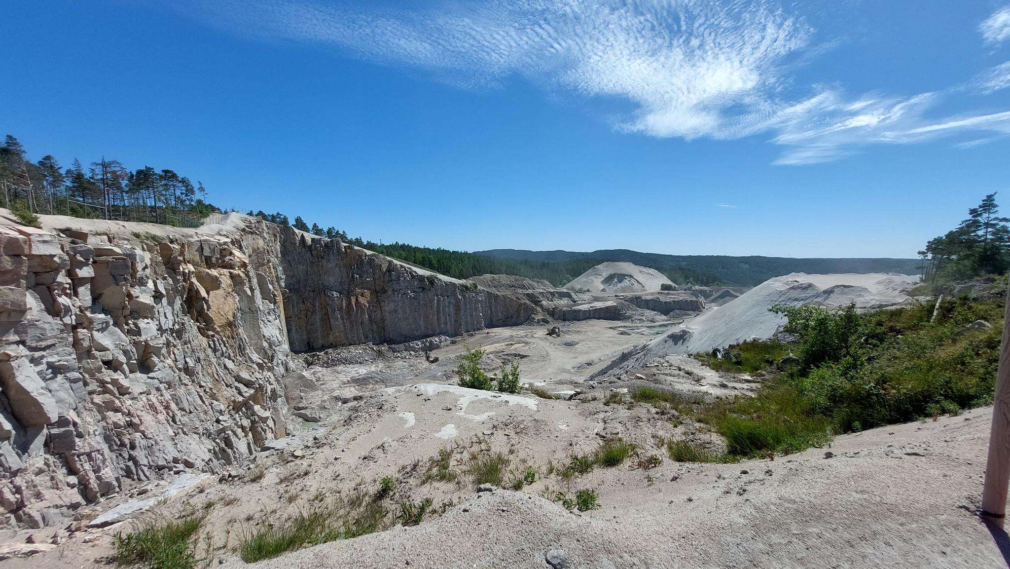
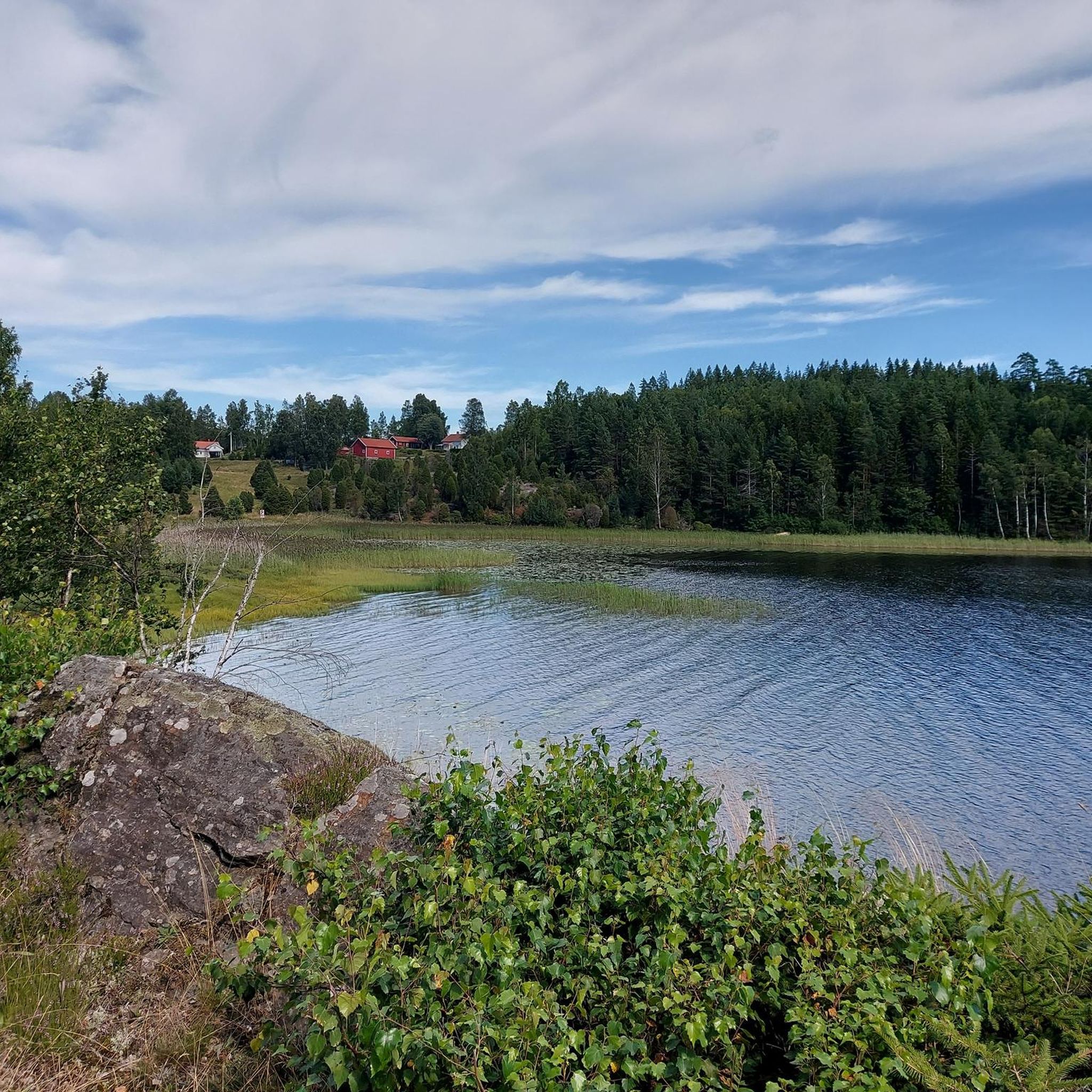
Mountain bike trails in Prestebakkefjella Naturreservat traverse a diverse landscape characterized by forests, bogs, and hilly terrain. The region features significant bog areas like Prestebakkemosen, alongside older forest stands with trees up to 300 years old. Elevations range from 143 meters to 232 meters, providing a dynamic environment for mountain biking. Numerous tarns and watercourses add to the natural features, offering varied scenery throughout the routes.
Best mountain bike trails in Prestebakkefjella Naturreservat
- The most popular mountain bike trail is…
Last updated: July 12, 2026
38.5km
02:55
210m
210m
Moderate mountain bike ride. Good fitness required. Suitable for all skill levels.
2
riders
34.5km
02:11
310m
310m
Moderate mountain bike ride. Good fitness required. Suitable for all skill levels.

Sign up for free
3
riders
26.0km
01:36
280m
280m
Easy mountain bike ride. Great for any fitness level. Suitable for all skill levels.
16
riders
42.5km
03:39
630m
630m
Moderate mountain bike ride. Good fitness required. Advanced riding skills necessary.
4
riders
17.7km
01:29
190m
190m
Moderate mountain bike ride. Great for any fitness level. Advanced riding skills necessary.
Our route recommendations are based on thousands of hikes, rides, and runs completed by other people on komoot.
Start today with a free account
Your next adventure awaits.
Login or Signup
Popular around Prestebakkefjella Naturreservat
Frequently Asked Questions
How many mountain bike trails are available in Prestebakkefjella Naturreservat?
Komoot features 5 mountain bike routes in Prestebakkefjella Naturreservat. These trails offer a diverse experience through the region's unique landscape of forests, bogs, and hilly terrain.
What is the typical terrain like for mountain biking in Prestebakkefjella Naturreservat?
The terrain in Prestebakkefjella Naturreservat is diverse, characterized by a mix of forest paths, extensive boglands like Prestebakkemosen, and undulating hills. You'll encounter varied surfaces and elevations, including some distinctive 'bakkemyrglenner' (hill bogs with inclines up to 25-30 degrees), providing a dynamic riding experience.
Are there trails suitable for beginners or less experienced mountain bikers?
Yes, there is at least one trail suitable for less experienced mountain bikers. The Hustjärnen – Tullarö loop from Pumpehuset ved Signebøenfjellet 51 is rated as easy, covering 16.1 miles (26.0 km) through diverse forest areas.
What is the elevation gain like on mountain bike trails in Prestebakkefjella Naturreservat?
The elevation gain on trails in Prestebakkefjella Naturreservat varies, reflecting the region's hilly landscape. For example, the Løvås – Korpeberget loop from Aspedammen features an elevation gain of over 630 meters, while the Kvarnetjärnet – Gunnarsbytjärnen loop from Tranemosen naturreservat has an elevation gain of around 213 meters. The highest point in the reserve is Torstensetåsen at 232 meters.
Are there any circular mountain bike routes available?
Yes, all the mountain bike routes listed for Prestebakkefjella Naturreservat are circular. Examples include the Boltjern loop from Svingen, which is a moderate 21.4 miles (34.5 km) path, and the Haugtjern – Skårefjellet loop from Aspedammen, a moderate 17.7 miles (28.5 km) route.
What natural features can I expect to see along the mountain bike trails?
You can expect to encounter a variety of natural features, including extensive bog areas like Prestebakkemosen, numerous tarns (small lakes), and watercourses. The trails also pass through diverse forest stands, some containing trees up to 300 years old, and offer glimpses of unique coastal plant species supported by the suboceanic climate.
What is the best time of year for mountain biking in Prestebakkefjella Naturreservat?
Given the significant bog areas and suboceanic climate, the best time for mountain biking is generally during the drier months, typically late spring through early autumn. This avoids the wettest conditions and potential snow or ice, ensuring more pleasant and accessible trails. Always check local weather conditions before heading out.
Is Prestebakkefjella Naturreservat suitable for family-friendly mountain biking?
While the region offers diverse terrain, some trails are more challenging. For families, the Hustjärnen – Tullarö loop from Pumpehuset ved Signebøenfjellet 51, an easy 16.1-mile (26.0 km) route, might be a good option, depending on the family's experience level. It's advisable to review the specific trail details and difficulty before planning a family outing.
Are dogs allowed on the mountain bike trails in Prestebakkefjella Naturreservat?
Prestebakkefjella Naturreservat is a nature reserve, and while dogs are generally permitted in Norwegian nature areas, they must be kept on a leash at all times, especially during nesting seasons for birds and when livestock are present. Always respect local regulations and wildlife.
Where can I find parking for mountain biking in Prestebakkefjella Naturreservat?
Specific parking information is often associated with the starting points of individual routes. For example, the Kvarnetjärnet – Gunnarsbytjärnen loop starts from Tranemosen naturreservat, and the Boltjern loop starts from Svingen. It's recommended to check the route details on komoot for the most precise parking suggestions near your chosen starting point.
What kind of wildlife might I encounter while mountain biking?
Prestebakkefjella Naturreservat is home to diverse wildlife. While mountain biking, you might encounter various bird species, especially in the bog areas, and potentially forest animals. Remember to ride quietly and respectfully to minimize disturbance to the natural habitat.
What is the longest mountain bike trail in the area?
The longest mountain bike trail currently featured is the Løvås – Korpeberget loop from Aspedammen, which spans 43.1 miles (69.4 km) and typically takes around 3 hours 42 minutes to complete.
Most popular routes in Prestebakkefjella Naturreservat

Get inspired with the komoot mobile app


Explore more
Browse the best MTB trails in other regions.
