The best walks and hikes in Brattås Naturreservat
4.8
(9)
71
hikers
13
hikes
Hiking in Brattås Naturreservat offers diverse terrain shaped by a significant forest fire in 1911, resulting in a youthful forest dominated by pioneer species like aspen and birch. The reserve is characterized by a small, hilly highland area with elevations ranging from 80 to 214 meters above sea level, featuring several smaller rift valleys, bogs, and tarns. Hikers can explore a mosaic of vegetation types, including low pine forest, berry heath mixed forest, and blueberry spruce forest. The bedrock, primarily…
Last updated: June 29, 2026
4
hikers
14.7km
03:58
190m
190m
Moderate hike. Good fitness required. Easily-accessible paths. Suitable for all skill levels.
3
hikers
12.3km
03:18
160m
160m
Moderate hike. Good fitness required. Easily-accessible paths. Suitable for all skill levels.

Sign up for free
5.0
(5)
11
hikers
9.49km
02:33
120m
120m
Moderate hike. Good fitness required. Easily-accessible paths. Suitable for all skill levels.
5.0
(1)
3
hikers
4.70km
01:14
40m
40m
Easy hike. Great for any fitness level. Easily-accessible paths. Suitable for all skill levels.
4.0
(1)
4
hikers
8.54km
02:18
110m
110m
Moderate hike. Good fitness required. Easily-accessible paths. Suitable for all skill levels.
Get access to more routes and recommendations from other explorers.
Sign up for free
Already have an account?
Our route recommendations are based on thousands of hikes, rides, and runs completed by other people on komoot.
Start today with a free account
Your next adventure awaits.
Login or Signup
Tips from the Community

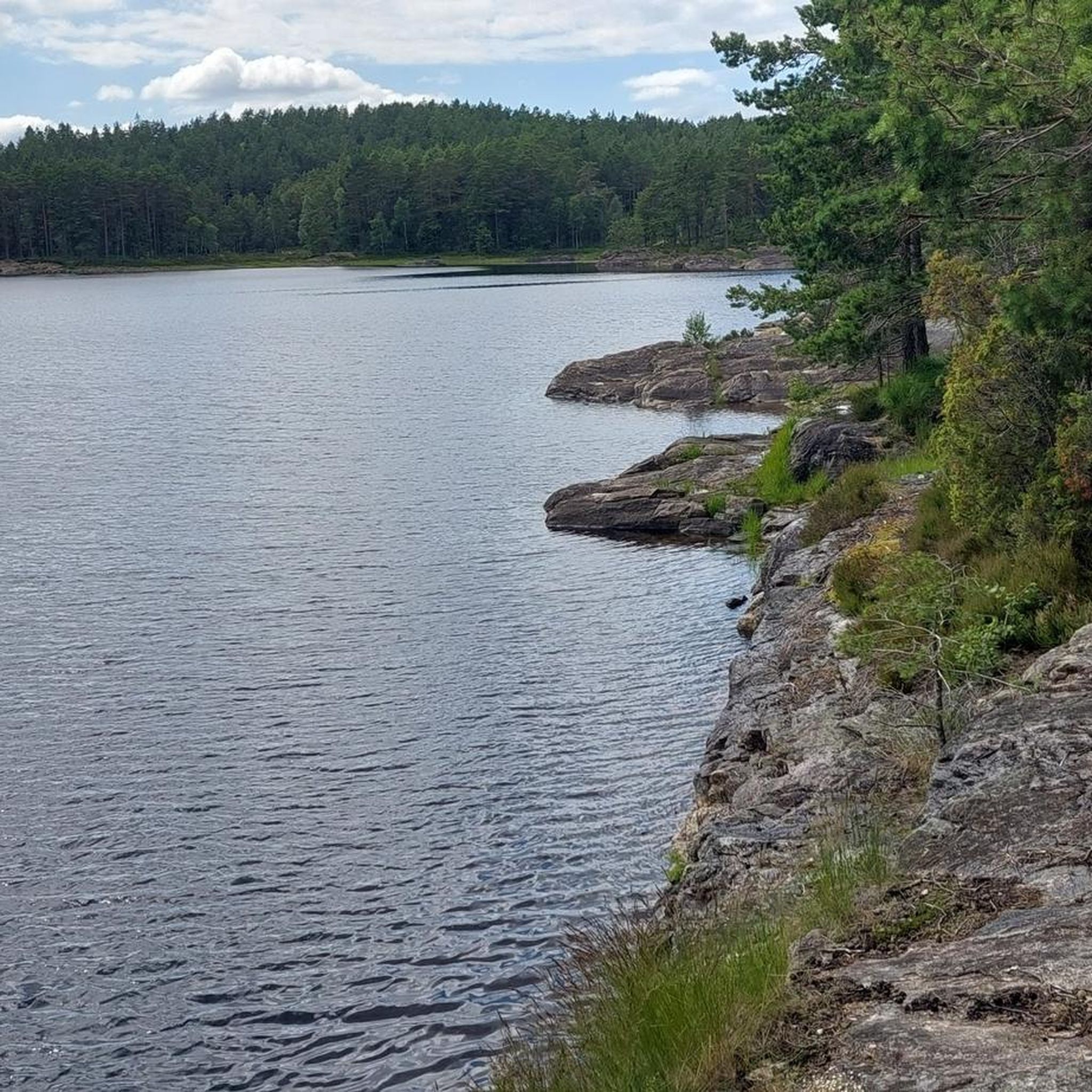
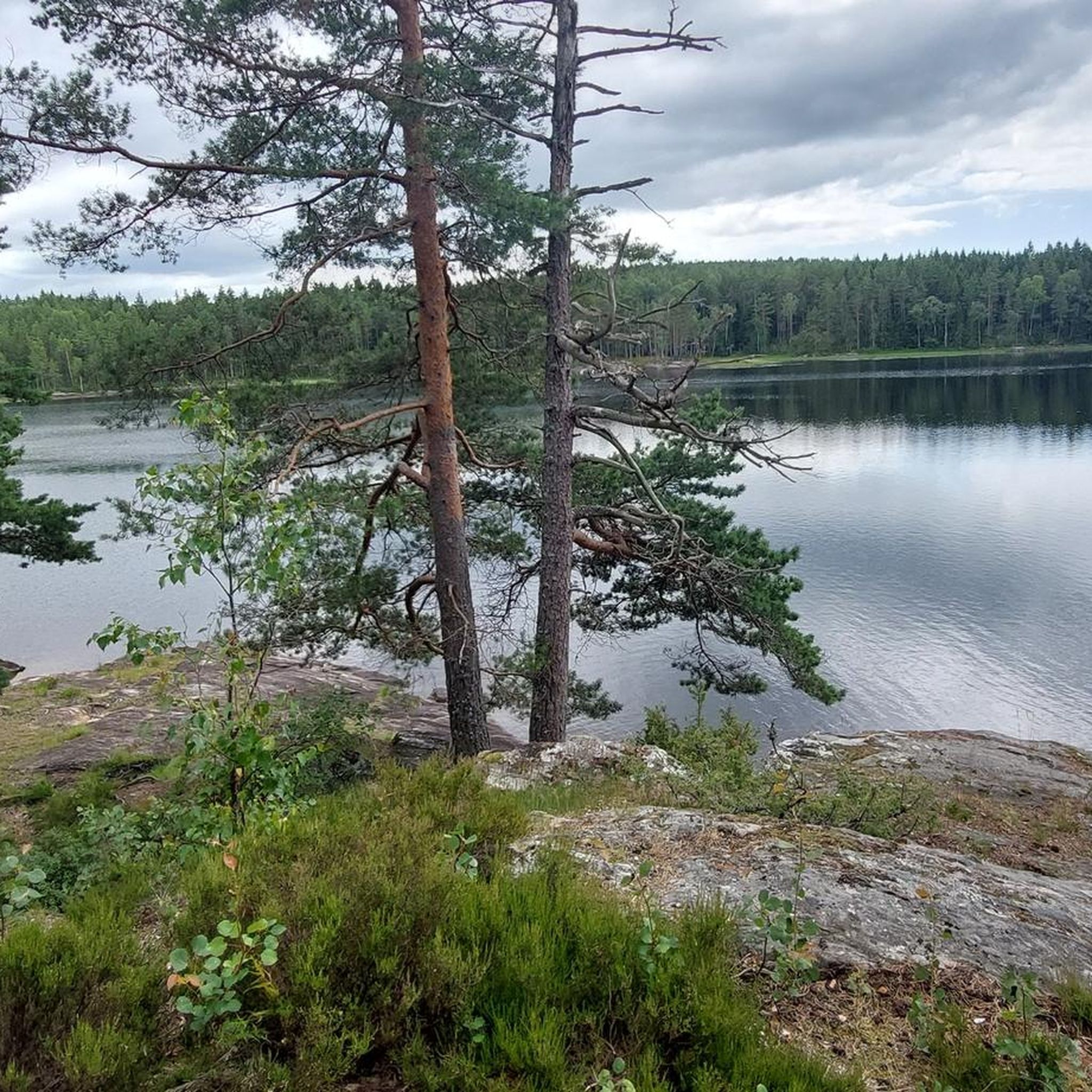
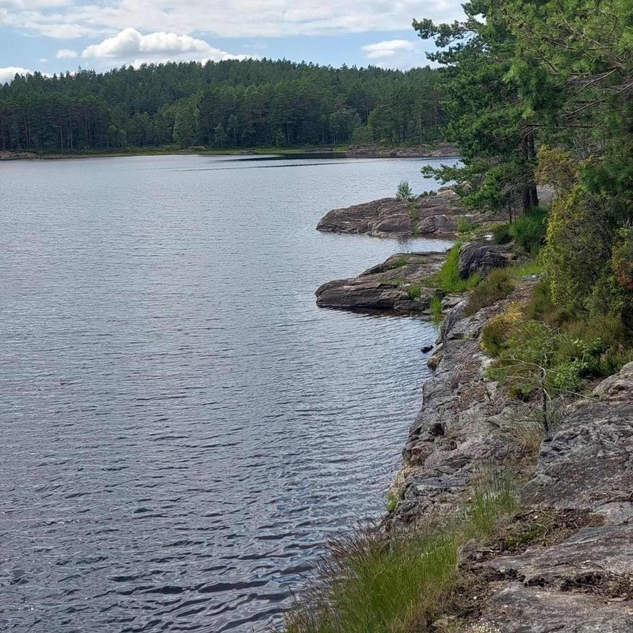
Very beautiful, nature-oriented hiking trail on the west bank of Krustertjern with a small waterfall
1
0
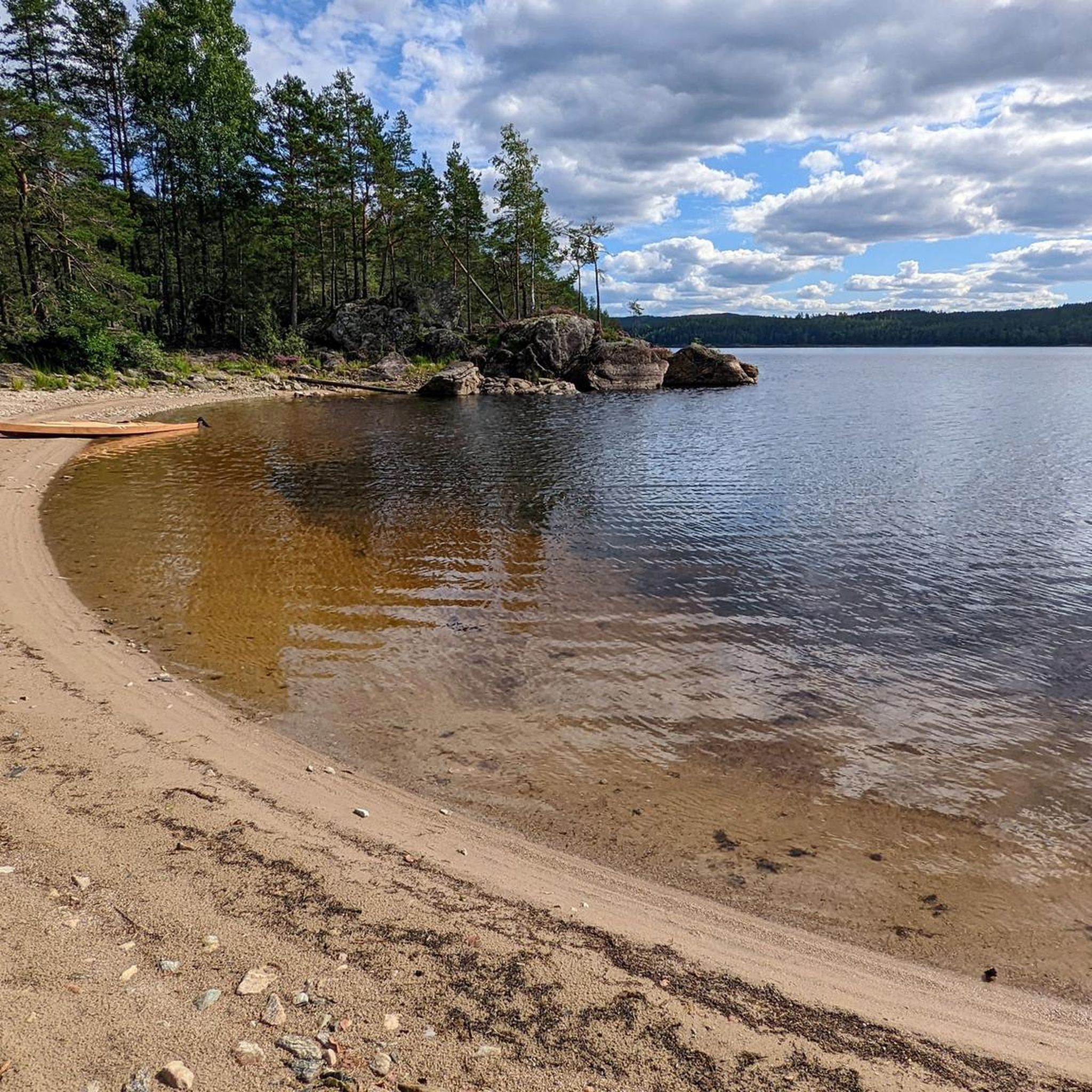
A very beautiful, natural hiking trail with small "beaches" for taking a break or going for a swim. Nicely shady in summer.
1
0
Ormtjernhytta is owned and operated by TTIF and has its own cabin management. The cabin is located by the water in a scenic setting, approximately 1 km from Route 21. Ormtjernhytta appears to be a very popular sports cabin. Tables and benches are available by the water and in the sun wall. The cabin has wheelchair access to the cabin itself and to the restrooms. There are marked hiking trails and a lit path in the area. There is a large parking lot on the main road (near the toll booth) and a large parking lot directly at the cabin. There is also a large parking lot in Krusseter (near the kiosk/beach) and a smaller one in Blæsemoen (Route 21). A beautiful circular trail of approximately 0.8 km leads around the lake. The start/finish is at the cabin. From mid-September to Easter, the hut is open every Sunday from 10:00 a.m. to 3:00 p.m. Food and drinks can be purchased at the hut. Weather permitting, the hut is also open during the Christmas and winter holidays. When possible, ice skating rinks are set up on the ice surface in winter. Young and old can enjoy themselves here in good weather. Skates in various sizes and ice skating penguins are available for rental at the hut during opening hours.
1
0
A very nice swimming area with benches, restrooms, and waste disposal, making it wheelchair accessible. There are several pontoons and a small diving platform.
1
0
Frequently Asked Questions
How many hiking trails are available in Brattås Naturreservat?
Brattås Naturreservat offers 13 distinct hiking trails. These routes vary in length and difficulty, providing options for different fitness levels.
What kind of terrain can I expect when hiking in Brattås Naturreservat?
The terrain in Brattås Naturreservat is quite unique, largely shaped by a major forest fire in 1911. You'll find a youthful forest dominated by pioneer species like aspen and birch. The landscape is a small, hilly highland area with elevations ranging from 80 to 214 meters, featuring several smaller rift valleys, bogs, and a couple of small tarns. Expect a mosaic of vegetation, including low pine forest on hills, berry heath mixed forest in deeper soil areas, and blueberry spruce forest on slopes.
Are there easy hiking trails suitable for beginners or families in Brattås Naturreservat?
Yes, there are 5 easy hiking trails in Brattås Naturreservat. A great option for families or beginners is the Asketjern Hut and Picnic Area loop from Nordre Dyvel, which is 4.7 km long and leads through the forest to a recreational hut and picnic area.
Are there any circular walks in Brattås Naturreservat?
Many of the trails in Brattås Naturreservat are designed as loops, offering convenient circular walks. For example, the popular Accessible Swimming Area – Start of Trollstien loop from Ånerødfjellet is a 5.5 km circular route leading to a designated swimming area.
What are some notable natural features or viewpoints to look out for during a hike?
The reserve's history as an old burn scar makes its regenerating forest a notable feature. You can observe various vegetation types, from low pine forest to unique bog ecosystems. The area also includes several smaller rift valleys and tarns. To the south, the reserve borders the Haldensvassdraget (Stenselva), which includes the Brekke locks and Brekke power station, potentially offering additional scenic views.
What is the average length and duration of hikes in Brattås Naturreservat?
Hikes in Brattås Naturreservat vary significantly. Easy trails can be as short as 4.7 km, taking around 1 hour 15 minutes. Moderate trails can extend up to 14.4 km, requiring over 3 hours to complete. For instance, the Store Erte Lakeside Trail – Start of Trollstien loop from Ånerødfjellet is a moderate 9.5 km path.
Is Brattås Naturreservat suitable for dog walking?
While the guide does not specify dog-friendly rules, nature reserves in Norway generally allow dogs on trails, often requiring them to be on a leash, especially during certain seasons to protect wildlife. It's always best to check local signage upon arrival for specific regulations within Brattås Naturreservat.
What do other hikers enjoy most about hiking in Brattås Naturreservat?
The area is highly rated by the komoot community, with an average score of 4.8 stars from around 10 reviews. Hikers often praise the diverse terrain, the unique regenerating forest, and the peaceful atmosphere. Many appreciate the variety of routes available for different ability levels.
Are there any longer or more challenging routes for experienced hikers?
Yes, for more experienced hikers, there are moderate trails that offer a greater challenge. The Høgås – Gørrtjern loop from Asak kirke is a 14.4 km route with significant elevation gain, providing a longer and more demanding experience.
Is there parking available near the trailheads in Brattås Naturreservat?
The guide mentions starting points like Ånerødfjellet and Nordre Dyvel, which typically have designated parking areas for hikers. While specific parking details are not provided, it is generally expected that access points to nature reserves will have some form of parking facilities.
What is the best time of year to go hiking in Brattås Naturreservat?
The youthful forest and diverse vegetation of Brattås Naturreservat offer different appeals throughout the year. Spring and autumn provide pleasant temperatures and beautiful colors, while summer is ideal for enjoying the full greenery and longer daylight hours. Winter hiking is possible, but requires appropriate gear for snow and ice conditions.
What kind of wildlife might I encounter in Brattås Naturreservat?
As a nature reserve, Brattås is home to various wildlife. While specific species are not detailed, the diverse habitats, including forests, bogs, and tarns, support a range of birds, small mammals, and insects. The regenerating forest provides a dynamic ecosystem for observation.
Most popular routes in Brattås Naturreservat

Get inspired with the komoot mobile app


Explore more
Browse the best Hikes in other regions.
