The best road cycling routes in Vattenskyddsområde
112
riders
8
rides
Road cycling in Vattenskyddsområde takes place within designated water protection areas in Sweden, established to safeguard drinking water resources. These areas are not defined by specific tourist attractions or universally notable landscapes, but rather by their protective regulations. While outdoor activities like cycling may occur, their presence is incidental to the area's primary function of water conservation. The terrain within these areas can vary widely across Sweden, encompassing diverse geographical regions.
Best road cycling routes in Vattenskyddsområde
- The most popular road cycling route is View of Falun Slussen – View of the Lake and Village loop from Uddnäs, a 59.0 miles (94.9 km) trail that takes 3 hours 52 minutes to complete. This moderate route offers views of the lake and surrounding villages.
- Another top favourite among local road cyclists is View of Falun Slussen – Runn Runt Cycle Path loop from Rottnebyskogen, an easy 24.3 miles (39.1 km) path. This route follows sections of the Runn Runt Cycle Path through forested areas.
- Local road cyclists also love the Lake view – Runn Runt Cycle Path loop from Svärdsjö, a 33.3 miles (53.6 km) trail leading through areas with lake views and along the Runn Runt Cycle Path, often completed in about 2 hours 16 minutes.
- Road cycling in Vattenskyddsområde is defined by routes that traverse varied landscapes within water protection zones, often including lake views and forested sections. The network offers options for both easy and moderate ability levels.
- The guide includes highly-rated routes that showcase the best of the region's landscape. More than 100 road cyclists have used komoot to explore Vattenskyddsområde's varied terrain.
Last updated: July 10, 2026
15
riders
95.1km
03:53
550m
550m
Moderate road ride. Good fitness required. Some segments of this route may be unpaved and difficult to ride.
11
riders
38.8km
01:31
140m
140m
Easy road ride. Great for any fitness level. Mostly well-paved surfaces and easy to ride.

Sign up for free
7
riders
53.6km
02:16
410m
410m
Moderate road ride. Good fitness required. Some segments of this route may be unpaved and difficult to ride.
6
riders
25.4km
01:14
260m
270m
Moderate road ride. Great for any fitness level. Some segments of this route may be unpaved and difficult to ride.
35
riders
48.1km
02:00
320m
320m
Moderate road ride. Good fitness required. Some segments of this route may be unpaved and difficult to ride.
Get access to more routes and recommendations from other explorers.
Sign up for free
Already have an account?
Our route recommendations are based on thousands of hikes, rides, and runs completed by other people on komoot.
Start today with a free account
Your next adventure awaits.
Login or Signup
Popular around Vattenskyddsområde
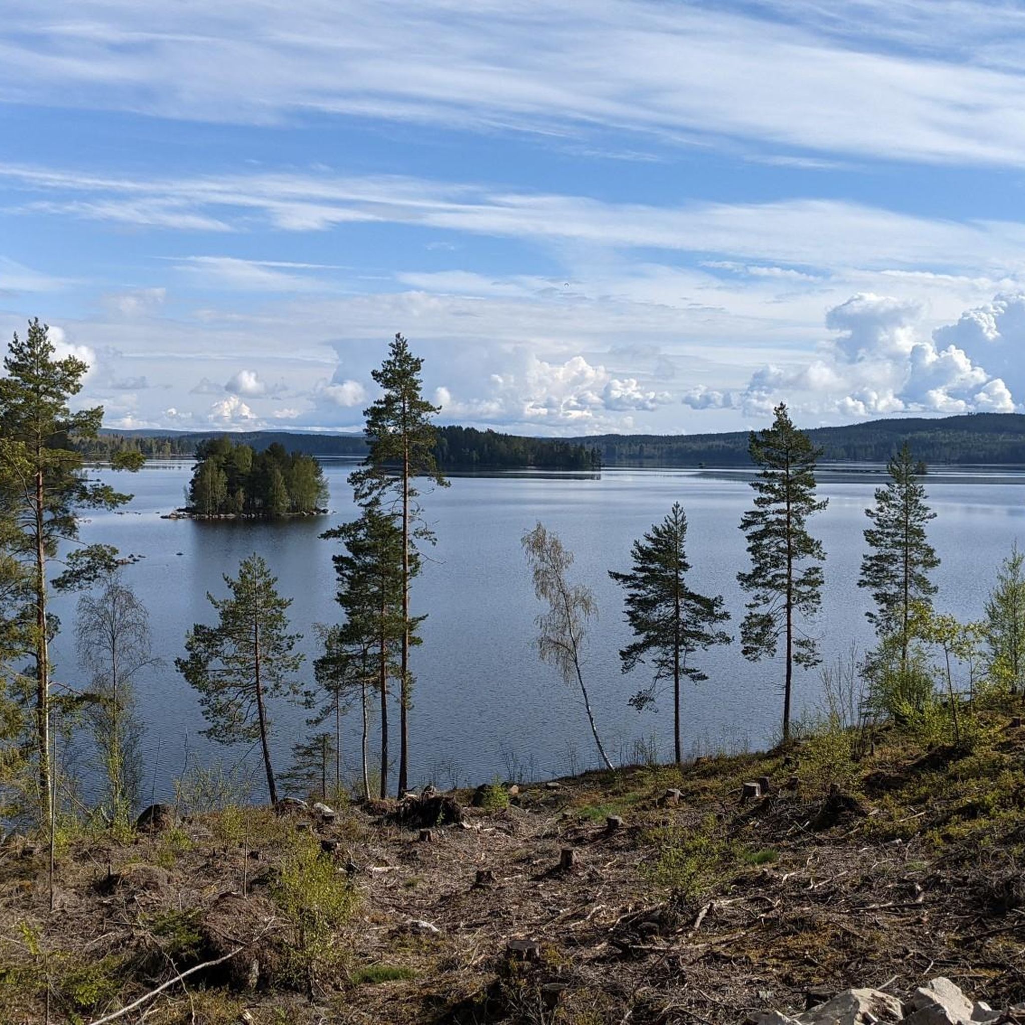
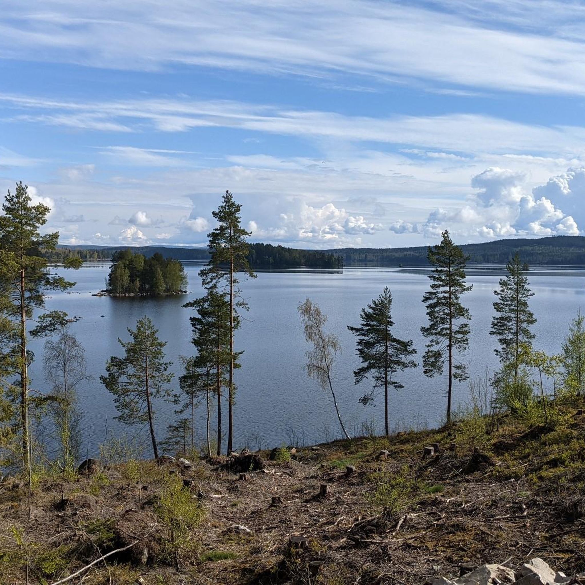
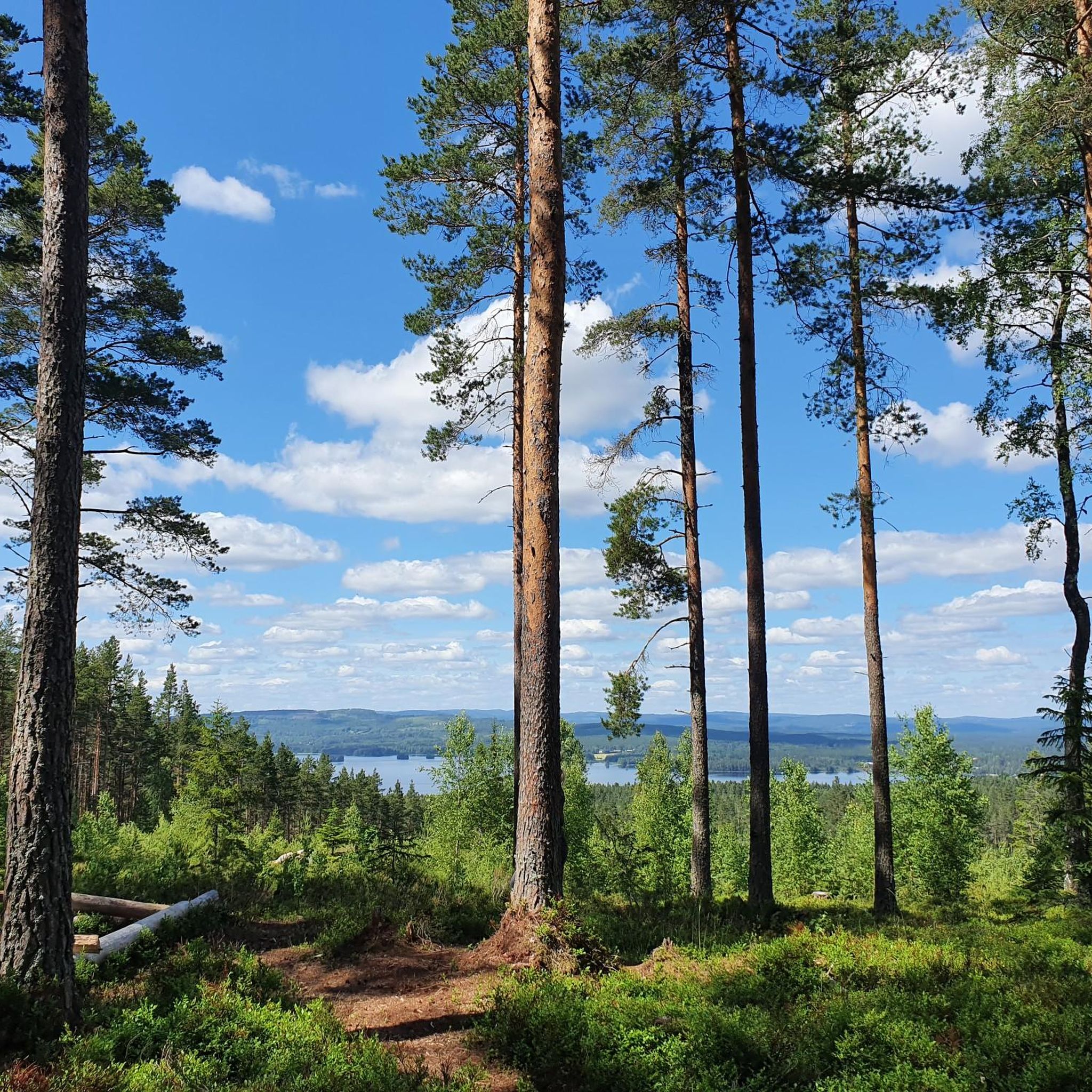
Tips from the Community

Right here you’ll find an information map of the Sli Halsans Stig from Falun. It shows all the nearby highlights around the lake and the walking routes you can explore.
0
0
Tisken is a cozy little city lake right in the heart of Falun, quietly connected to the surrounding lakes and rivers. It’s a lovely spot to wander, enjoy the views, or catch a beautiful sunset.
0
0
Stop by Café Slussvaktar’n for a bite, a coffee, or just to soak in the maritime vibes. You’ll find some benches along the waterfron, perfect for a little chill time before you start your walk.
0
0

Runn Runt, always follow the red signs with 200 Runn Runt. The loop around Runn Runt is well-marked. You can expect beautiful views of Runn, two cafes, about 460 meters of elevation gain, and all kinds of paved surfaces, but mostly asphalt. The beautiful Vika Kyrka is worth a visit. Have fun 😉.
2
0
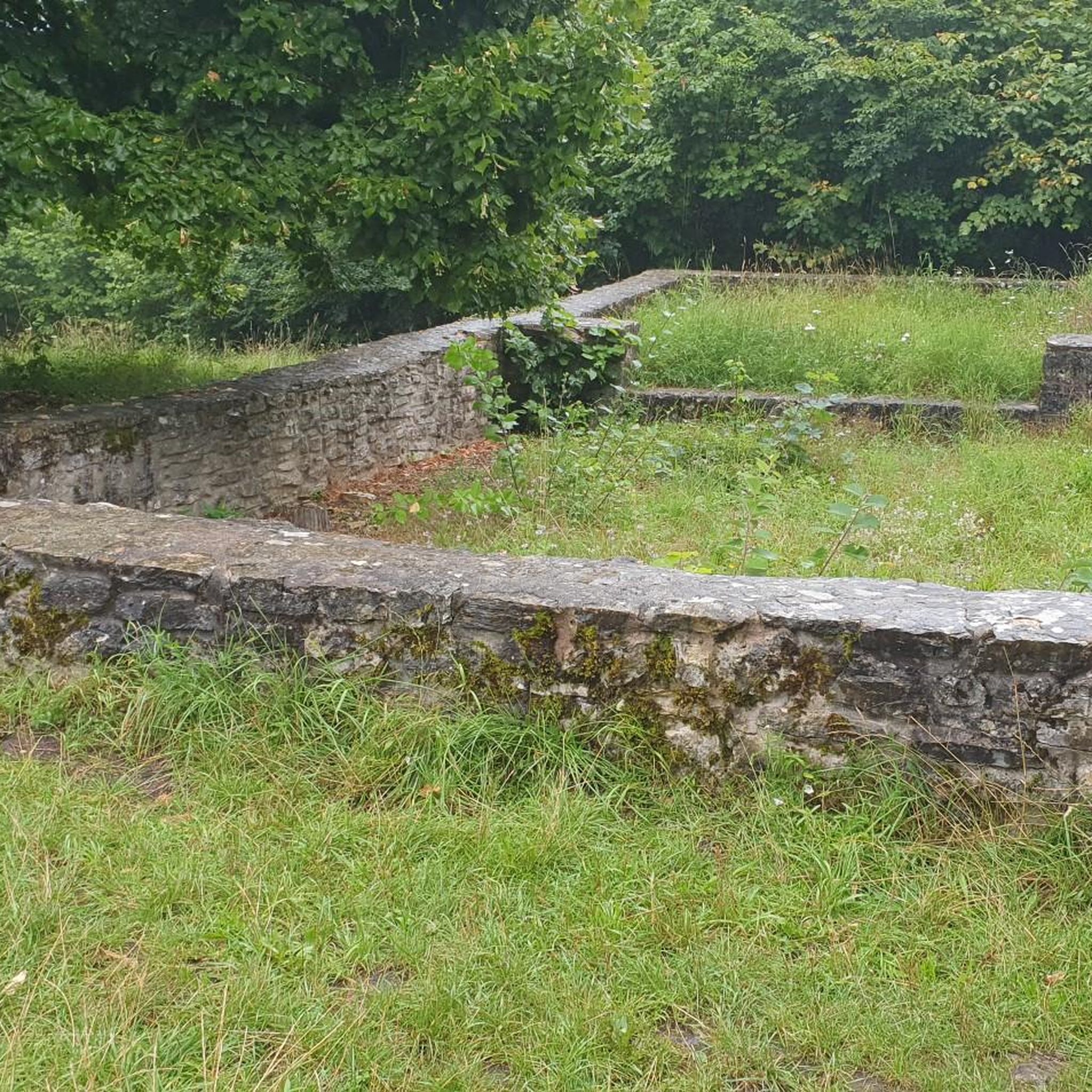
This is an old hut site in the southern bay of Lake Varpan. The old country road leads here to the northern part of Darlana. The stone bridge with its arches dates from the 18th century.
3
0

Falun’s slussen 🩵 "Slussen" in Swedish means "the lock" or "the sluice." It refers to a water lock or a similar structure used to control water levels and flow, typically found in canals or rivers. In Stockholm, "Slussen" is also a well-known area and transportation hub connecting the Old Town (Gamla Stan) with Södermalm.
0
0
The path around Runn is amazing, offering stunning views throughout. You may occasionally share the road with cars and most of the path is paved.
1
0

South of Hult you enter a beautiful cultural landscape consisting of small strips of arable, stone walls, and clearance cairns. In Kopperbergslagen they used a form of crop rotation where by the land was alternately used as arable and meadow.
0
0
Frequently Asked Questions
What exactly is a Vattenskyddsområde and how does it affect road cycling?
A Vattenskyddsområde is a water protection area in Sweden, established to safeguard drinking water resources. These areas are not primarily tourist destinations but are designated for water conservation. While road cycling is permitted, activities are subject to specific regulations to prevent water contamination. This means you'll be cycling through diverse landscapes that are protected for their environmental value, rather than for specific recreational features.
How many road cycling routes are available in Vattenskyddsområde?
There are 8 road cycling routes detailed in this guide for Vattenskyddsområde, offering various distances and difficulty levels for you to explore.
Are there easy road cycling routes suitable for beginners in Vattenskyddsområde?
Yes, there is one easy route available. The View of Falun Slussen – Runn Runt Cycle Path loop from Rottnebyskogen is an easy 24.3-mile (39.1 km) path that follows sections of the Runn Runt Cycle Path through forested areas, making it a great option for beginners.
What is the typical length of road cycling routes in Vattenskyddsområde?
The routes in Vattenskyddsområde vary in length. For instance, the Roadbike loop from Hälsinggården is 25.4 miles (40.9 km), while the longest route, View of Falun Slussen – View of the Lake and Village loop from Uddnäs, spans 59.0 miles (94.9 km). You'll find options ranging from shorter rides to more extensive tours.
Are there any circular road cycling routes in Vattenskyddsområde?
Yes, all the routes listed in this guide are circular loops, designed to bring you back to your starting point. Examples include the Lake view – Runn Runt Cycle Path loop from Svärdsjö and the View of Falun Slussen loop from Lugnet.
What kind of scenery can I expect on road cycling routes in Vattenskyddsområde?
Road cycling in Vattenskyddsområde often features varied landscapes, including lake views and forested sections. While not defined by specific tourist attractions, the routes traverse areas protected for their natural water resources, offering a chance to experience Sweden's diverse geographical regions.
When is the best time of year for road biking in Vattenskyddsområde?
The best time for road biking in Vattenskyddsområde generally aligns with the warmer, drier months, typically from late spring through early autumn. This period offers more favorable weather conditions and longer daylight hours for cycling.
Are there any challenging road bike routes in Vattenskyddsområde?
While there are no routes classified as 'difficult' in this guide, seven of the eight routes are rated as 'moderate'. These routes, such as the View of Falun Slussen – View of the Lake and Village loop from Uddnäs, offer longer distances and more elevation gain, providing a good challenge for experienced road cyclists.
What should I know about road bike conditions in Vattenskyddsområde?
Road bike conditions in Vattenskyddsområde will vary depending on the specific area and time of year. Given the region's purpose as a water protection area, roads are generally well-maintained. However, it's always advisable to check local weather forecasts and road conditions before heading out, especially during spring thaw or after heavy rains.
Are the road cycling routes in Vattenskyddsområde suitable for families?
The easy route, View of Falun Slussen – Runn Runt Cycle Path loop from Rottnebyskogen, is a good option for families looking for a less strenuous ride. For other routes, consider the distance and moderate difficulty level to determine suitability for younger or less experienced family members.
Where can I find information about parking access for road biking in Vattenskyddsområde?
Specific parking information for each route's starting point is typically available on the individual komoot tour pages. We recommend checking the details for your chosen route, such as the Roadbike loop from Hälsinggården, to plan your access.
Most popular routes in Vattenskyddsområde

Get inspired with the komoot mobile app


Explore more
Browse the best Road cycling routes in other regions.
