The best road cycling routes in Aurmoen Landskapsvernområde
5.0
(4)
619
riders
46
rides
Road cycling in Aurmoen Landskapsvernområde offers routes through a landscape shaped by glacial activity, characterized by flat to gently rolling terrain. The area features predominantly forested sections, alongside unique geological formations such as kettle lakes, dead-ice pits, and shifting sand dunes. These roads provide accessible cycling opportunities within a protected zone known for its Quaternary geological features.
Best road cycling routes in Aurmoen Landskapsvernområde
- The most popular road cycling route is Eidsvollbygningen Café loop from Østli, a 19.3 miles (31.1 km) moderate trail that takes 1 hour 23 minutes to complete. This route offers a varied ride through the region's characteristic terrain.
- Another top favourite among local road cyclists is Roadbike loop from Kneppefeltet, an easy 16.2 miles (26.0 km) path. This accessible loop provides a gentle cycling experience through the local landscape.
- Local road cyclists also love the Hakadal Verk Hydropower Dam – El Falco High-Speed Downhill loop from Oslo lufthavn, a 78.7 miles (126.7 km) trail leading through varied terrain, often completed in about 6 hours 24 minutes.
- Road cycling in Aurmoen Landskapsvernområde is defined by forested roads, gently rolling hills, and unique glacial features like kettle lakes. The network offers options for easy, moderate, and difficult ability levels.
- The routes in Aurmoen Landskapsvernområde are highly rated by the komoot community with an average score of 5.0 stars from more than 3 reviews. More than 600 road cyclists have used komoot to explore Aurmoen Landskapsvernområde's varied terrain.
Last updated: July 12, 2026
7
riders
31.3km
01:25
240m
240m
Moderate road ride. Great for any fitness level. Some segments of this route may be unpaved and difficult to ride.
7
riders
26.3km
01:18
220m
220m
Easy road ride. Great for any fitness level. Mostly well-paved surfaces and easy to ride.

Sign up for free
53
riders
127km
06:25
1,310m
1,310m
Hard road ride. Very good fitness required. Some segments of this route may be unpaved and difficult to ride.
12
riders
128km
05:45
1,010m
1,010m
Hard road ride. Very good fitness required. Some segments of this route may be unpaved and difficult to ride.
12
riders
48.7km
02:23
310m
310m
Moderate road ride. Good fitness required. Some segments of this route may be unpaved and difficult to ride.
Get access to more routes and recommendations from other explorers.
Sign up for free
Already have an account?
Our route recommendations are based on thousands of hikes, rides, and runs completed by other people on komoot.
Start today with a free account
Your next adventure awaits.
Login or Signup

Tips from the Community

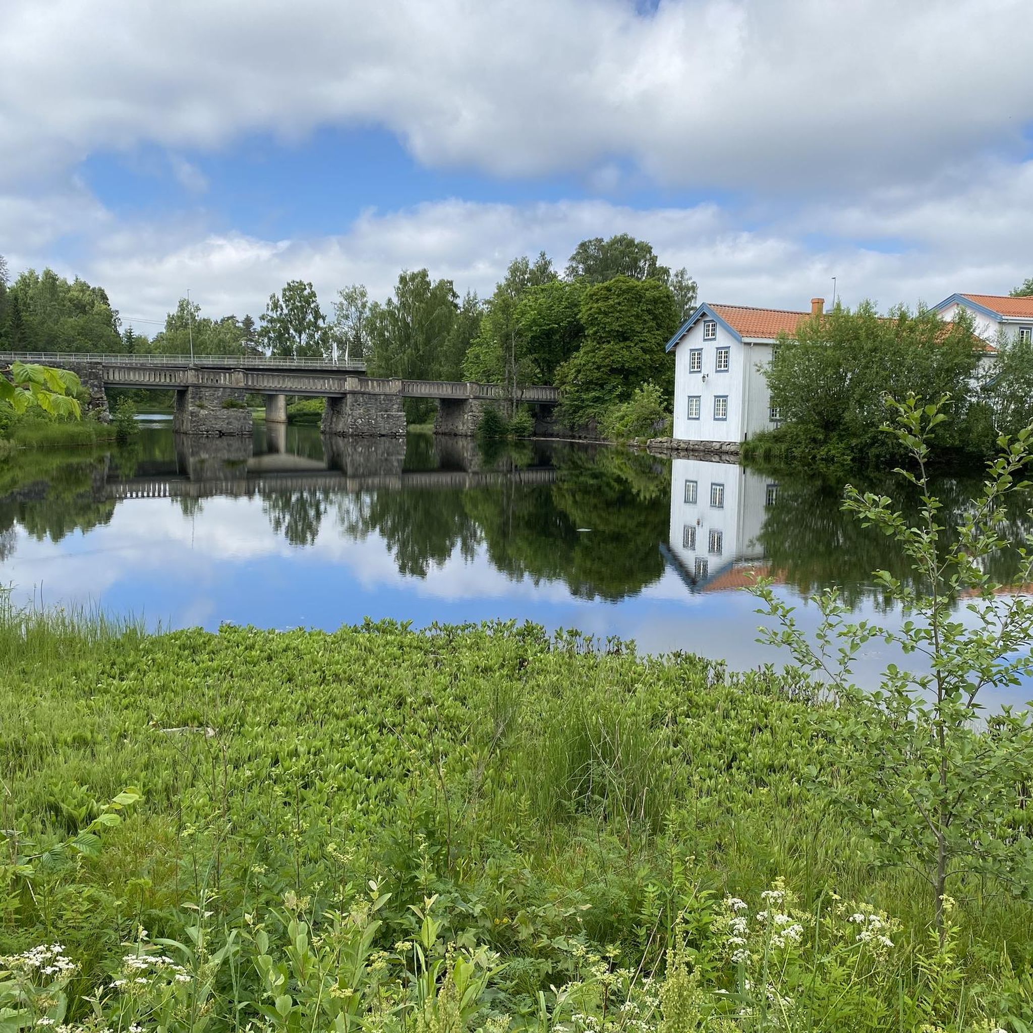
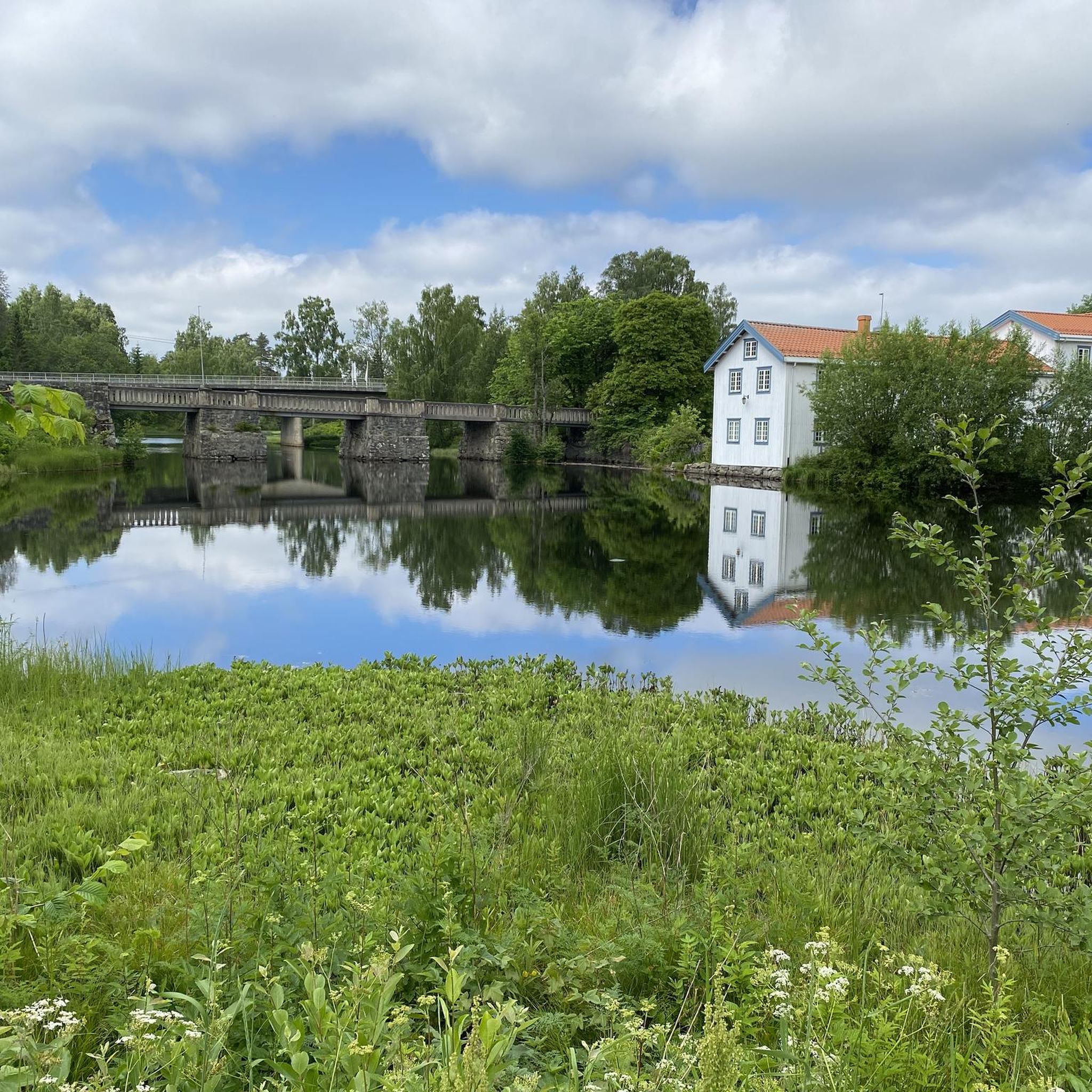
Råholt is a small town within the municipality of Eidsvoll. Its peaceful atmosphere makes it a delightful place to stroll through its streets, countryside and surrounding woodland. It is served by trains, buses and cycle paths.
0
0

Venjarfossen is a small waterfall at the Andelva. It is part of the historical use for small-scale industry and hydropower.
0
0

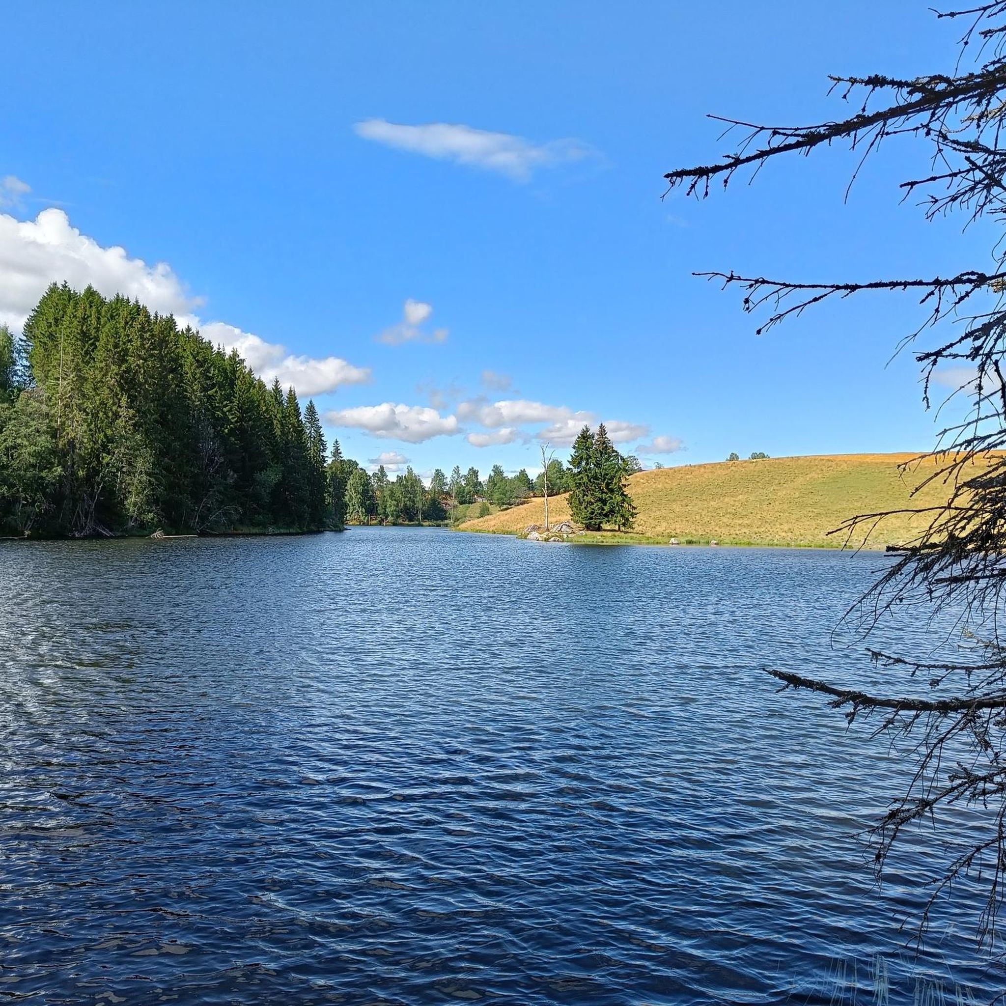
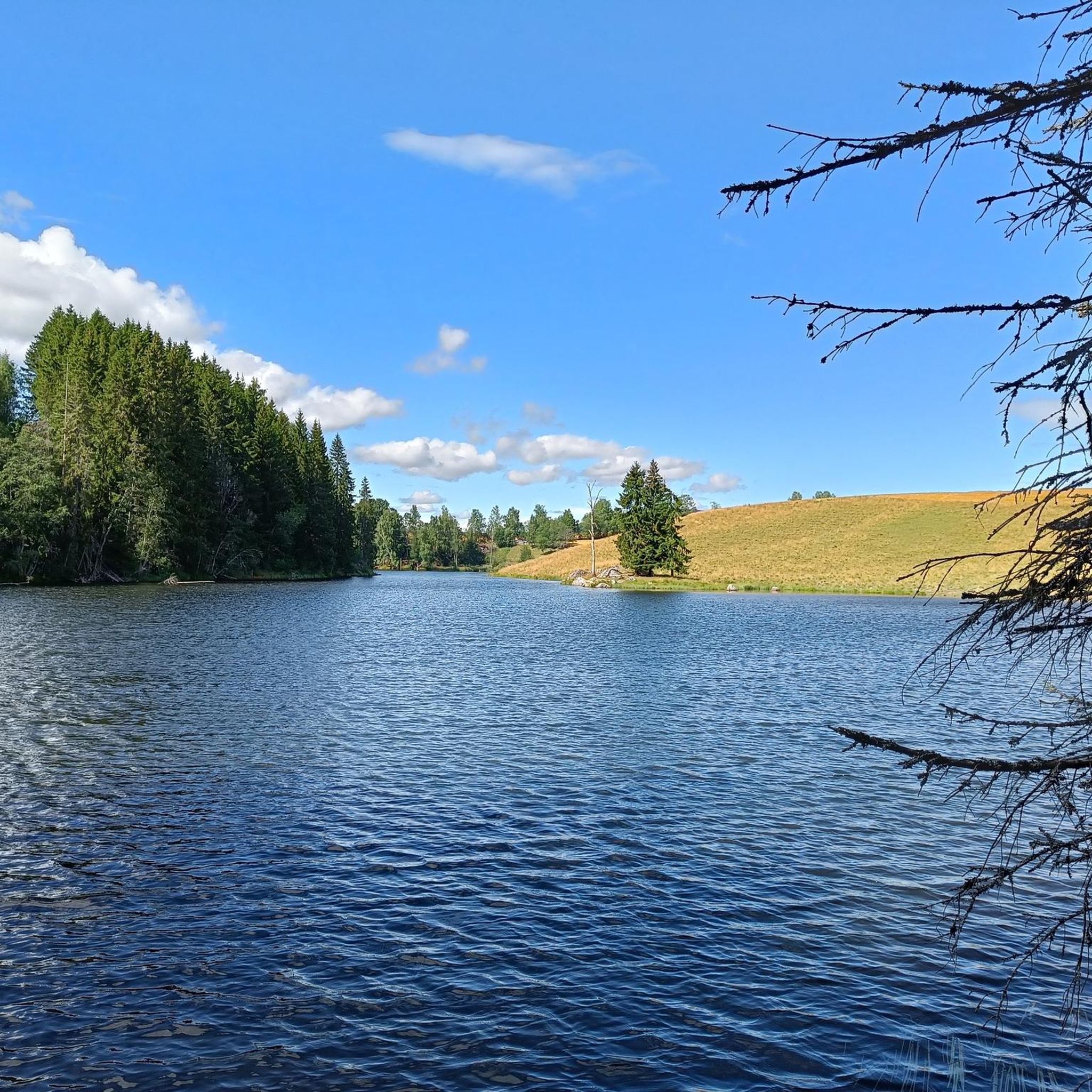
The lake is well hidden behind the forest, but from here you can see its shores and enjoy the magnificent scenery.
0
0
This work of art is part of a series of 19th-century European pavilions revisited by sculptor Camilla Løw. The artist enjoys deconstructing them and giving them new colors, so that people can make these spaces from another era their own.
0
0
The lake has several pontoons scattered along this shore. This one also has a small raised diving platform. In winter, holes are even cut in the ice for swimming, and you can climb down directly from the ladder. Provided you have the courage!
0
0

Consider stopping at Lien Hoa Dao Trang Buddhist Temple, the serene Lotus Temple serving the Vietnamese Buddhist community. Guided visits are often available – just contact the temple ahead for availability and schedules. Visitors are asked to dress modestly, arrive a few minutes early, remove shoes before entering, and observe quiet respect while inside.
0
0

From this vantage point on the Vorma river, you have a splendid view of lake Mjøsa and two bridges, one for vehicles and the other for railways. Here, you can cross the river safely thanks to a cycle path.
0
0
Frequently Asked Questions
What kind of terrain can I expect when road cycling in Aurmoen Landskapsvernområde?
The terrain in Aurmoen Landskapsvernområde is generally flat to gently rolling, making it suitable for a variety of road cyclists. You'll find roads winding through predominantly forested areas, interspersed with unique glacial features like kettle lakes and dead-ice pits, offering a diverse and scenic backdrop for your ride.
How many road cycling routes are available in Aurmoen Landskapsvernområde?
There are over 50 road cycling routes available in Aurmoen Landskapsvernområde, catering to various skill levels. This includes 10 easy routes, 34 moderate routes, and 6 more challenging options.
Are there any family-friendly road cycling routes in the area?
Yes, Aurmoen Landskapsvernområde offers several family-friendly road cycling options. The generally flat to gently rolling terrain is well-suited for less strenuous rides. An example of an easy route is the Roadbike loop from Kneppefeltet, which is 16.2 miles (26.0 km) long and provides a gentle cycling experience.
What are some notable natural features or landmarks I might see while cycling?
While cycling through Aurmoen Landskapsvernområde, you'll encounter a landscape shaped by the last ice age. Key natural features include kettle lakes like Aurtjern and Fugletjern, dead-ice pits, and even shifting sand dunes. These unique geological formations provide a distinctive and interesting environment to explore.
What is the best time of year for road cycling in Aurmoen Landskapsvernområde?
Given the region's climate, the best time for road cycling in Aurmoen Landskapsvernområde is typically during the warmer months, from late spring through early autumn. This period offers more favorable weather conditions and ensures the roads are clear of snow and ice, providing the most pleasant cycling experience.
What do other road cyclists think about the routes in Aurmoen Landskapsvernområde?
The road cycling routes in Aurmoen Landskapsvernområde are highly regarded by the komoot community, with an average rating of 5.0 stars from over 3 reviews. Cyclists often praise the varied terrain, the peaceful forested roads, and the unique glacial landscapes that make for an engaging ride.
Are there any long-distance or more challenging road cycling routes?
Yes, for those seeking a longer or more challenging ride, options like the Hakadal Verk Hydropower Dam – El Falco High-Speed Downhill loop from Oslo lufthavn offer a significant challenge. This route spans 78.7 miles (126.7 km) and includes considerable elevation changes, leading through varied terrain.
Is it possible to find circular road cycling routes in the area?
Many of the road cycling routes in Aurmoen Landskapsvernområde are designed as loops, allowing you to start and finish at the same point. For instance, the popular Eidsvollbygningen Café loop from Østli is a moderate 19.3 miles (31.1 km) circular route that showcases the region's characteristic terrain.
What are the regulations for cycling in a protected landscape area like Aurmoen Landskapsvernområde?
Aurmoen Landskapsvernområde is a protected landscape area. Generally, cycling is permitted on established roads and designated paths. It's important to stay on marked routes to protect the natural environment and respect local regulations. For detailed information on specific rules, especially concerning off-road cycling or e-bikes, it's advisable to consult local signage or official Norwegian environmental guidelines.
Are there any facilities like cafes or accommodation near the road cycling routes?
While Aurmoen Landskapsvernområde itself is a natural protected area, the surrounding municipalities of Ullensaker, Nannestad, and Eidsvoll offer various facilities. You can find cafes, restaurants, and accommodation options in these nearby towns, which are easily accessible from the cycling routes.
Where can I park my car when visiting Aurmoen Landskapsvernområde for road cycling?
Parking facilities are typically available at various access points or near trailheads in and around Aurmoen Landskapsvernområde. Given its good road accessibility, you'll likely find suitable parking in the vicinity of the starting points for many routes, particularly in the surrounding towns or designated visitor areas.
Can I reach Aurmoen Landskapsvernområde by public transport?
Aurmoen Landskapsvernområde is located north of Oslo Airport, Gardermoen, and is accessible by road. While direct public transport into the heart of the protected area might be limited, public transport options to the nearby municipalities of Ullensaker, Nannestad, and Eidsvoll are available, from where you can cycle to the routes.
Most popular routes in Aurmoen Landskapsvernområde

Get inspired with the komoot mobile app


Explore more
Browse the best Road cycling routes in other regions.
