The best road cycling routes in Romerike Landskapsvernområde
5.0
(6)
677
riders
66
rides
Road cycling routes in Romerike Landskapsvernområde traverse a distinctive ravine landscape, offering diverse terrain for cyclists. The region features well-paved surfaces that wind through forests, alongside rivers like Vikka and Sogna, and across cultivated land. This area provides a variety of routes, from easy rides with minimal elevation to challenging paths with significant climbs.
Best road cycling routes in Romerike Landskapsvernområde
- The most popular road cycling route is Hakadal Verk Hydropower Dam – El Falco High-Speed Downhill loop from Oslo…
Last updated: July 12, 2026
53
riders
127km
06:25
1,310m
1,310m
Hard road ride. Very good fitness required. Some segments of this route may be unpaved and difficult to ride.
14
riders
26.6km
01:07
180m
180m
Easy road ride. Great for any fitness level. Mostly well-paved surfaces and easy to ride.

Sign up for free
9
riders
59.3km
02:40
360m
360m
Moderate road ride. Good fitness required. Some segments of this route may be unpaved and difficult to ride.
26
riders
48.5km
02:10
440m
440m
Moderate road ride. Good fitness required. Mostly well-paved surfaces and easy to ride.
23
riders
41.9km
02:01
430m
430m
Moderate road ride. Good fitness required. Mostly well-paved surfaces and easy to ride.
Get access to more routes and recommendations from other explorers.
Sign up for free
Already have an account?
Our route recommendations are based on thousands of hikes, rides, and runs completed by other people on komoot.
Start today with a free account
Your next adventure awaits.
Login or Signup

Tips from the Community

Råholt is a small town within the municipality of Eidsvoll. Its peaceful atmosphere makes it a delightful place to stroll through its streets, countryside and surrounding woodland. It is served by trains, buses and cycle paths.
0
0

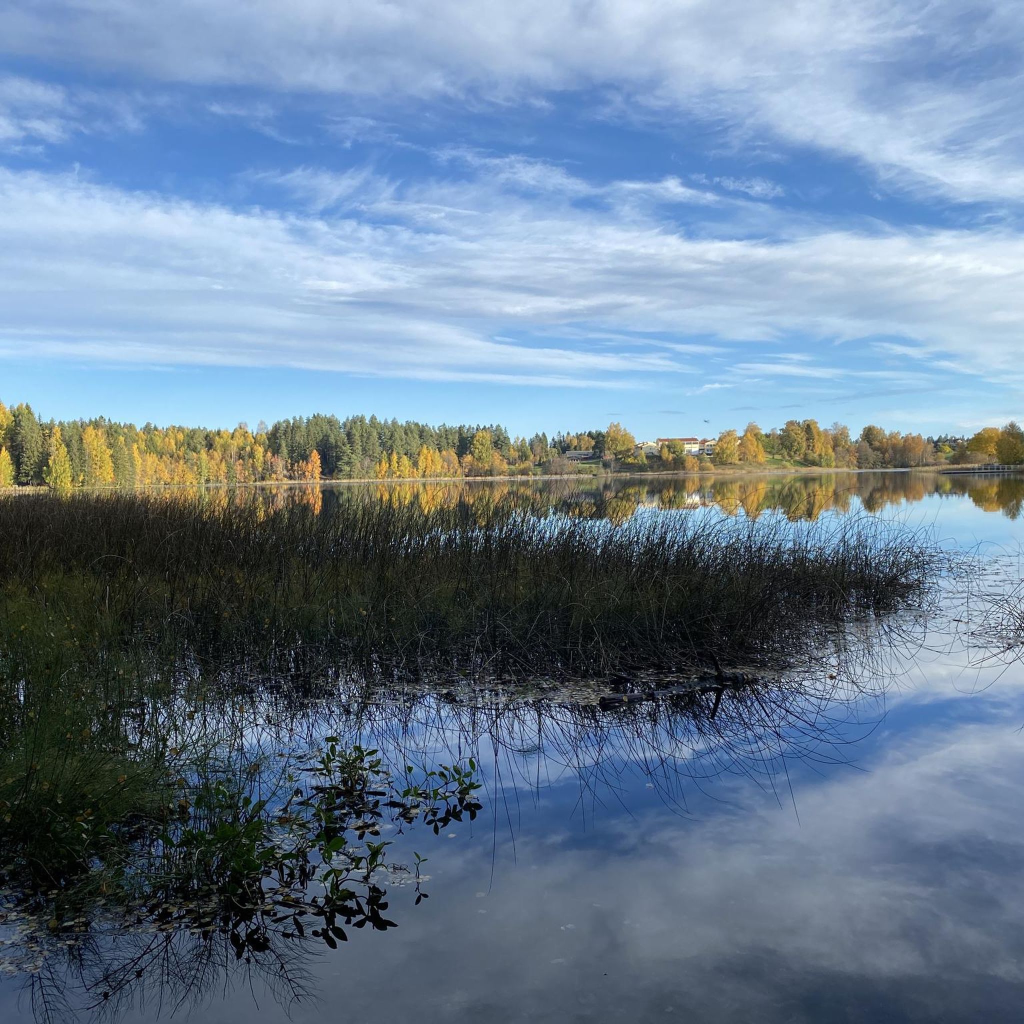
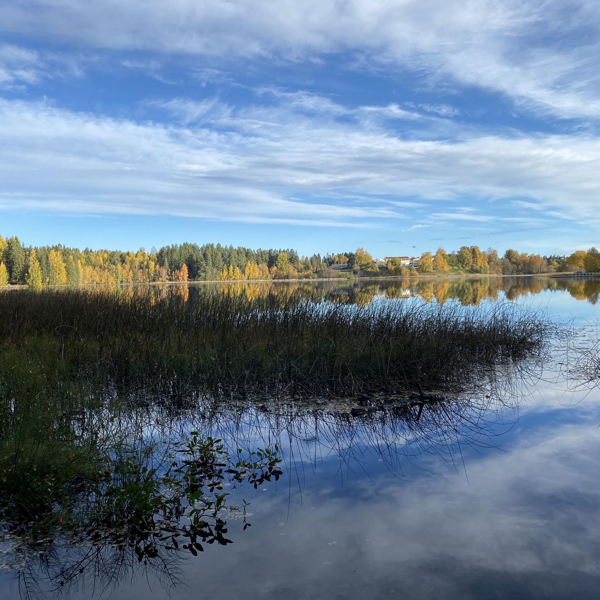
The lake is well hidden behind the forest, but from here you can see its shores and enjoy the magnificent scenery.
0
0

The Aurmoen Landscape Conservation Area north of Oslo Airport is part of a larger network of protected areas in this region. It serves to protect various bird species. The ground is often sandy, which makes for soft but somewhat difficult going!
0
0

Consider stopping at Lien Hoa Dao Trang Buddhist Temple, the serene Lotus Temple serving the Vietnamese Buddhist community. Guided visits are often available – just contact the temple ahead for availability and schedules. Visitors are asked to dress modestly, arrive a few minutes early, remove shoes before entering, and observe quiet respect while inside.
0
0

You will spot this church if you go through the village of Bjørke. As is common with many rural churches, it acts as a useful landmark for navigation. Take the chance for a brief pause during your bike tour to observe the building and its setting before continuing on your way.
0
0
Frequently Asked Questions
How many road cycling routes are available in Romerike Landskapsvernområde?
There are over 70 distinct road cycling routes in Romerike Landskapsvernområde, catering to various skill levels. You'll find everything from easy, flat rides to more challenging routes with significant elevation changes.
What kind of terrain can I expect on road cycling routes in Romerike Landskapsvernområde?
The routes in Romerike Landskapsvernområde traverse a unique ravine landscape, offering diverse terrain. You can expect well-paved surfaces winding through extensive forests, alongside rivers like Vikka and Sogna, and across cultivated land. The region is known for its distinctive 'ravinelandskap' formed by streams carving into loose soil deposits.
Are there road cycling routes suitable for beginners or families in Romerike Landskapsvernområde?
Yes, Romerike Landskapsvernområde offers several easy road cycling routes perfect for beginners or families. For example, the Roadbike loop from Nordbytjern landskapsvernområde is an easy 26.1 km path that provides a relaxed ride exploring the area around Nordbytjern.
What are some natural features or landmarks I might see while cycling in the area?
While cycling, you'll encounter the region's striking ravine landscape, lush grey alder-bird cherry forests, and spruce forests. You'll also ride alongside rivers like Vikka and Sogna. The area is rich in diverse plant species and supports a variety of birdlife. Historically, the region also features rich, moist meadows.
Are there any challenging road cycling routes for experienced riders?
Absolutely. For experienced cyclists seeking a challenge, routes with substantial elevation gain are available. A notable difficult route is the Hakadal Verk Hydropower Dam – El Falco High-Speed Downhill loop from Oslo lufthavn, which covers 126.7 km with over 1300 meters of elevation, taking approximately 6 hours and 24 minutes to complete.
What is the best time of year to go road cycling in Romerike Landskapsvernområde?
The best time for road cycling in Romerike Landskapsvernområde is generally during the warmer months, from late spring through early autumn. This period offers pleasant temperatures and the most favorable road conditions for an enjoyable ride through the diverse landscapes.
Are there circular road cycling routes available?
Yes, many of the road cycling routes in Romerike Landskapsvernområde are designed as loops, allowing you to start and end at the same point. Examples include the Roadbike loop from Hagamoen and the Roadbike loop from Kneppefeltet, offering convenient options for exploring the region.
What do other road cyclists enjoy most about cycling in Romerike Landskapsvernområde?
The area is highly rated by the komoot community, with an average score of 5.0 stars. Cyclists often praise the diverse landscapes, from the unique ravine formations to the peaceful forests and river valleys, as well as the well-paved surfaces that make for an enjoyable ride. The variety of routes catering to different fitness levels is also frequently highlighted.
Is it possible to reach the road cycling routes by public transport?
While specific public transport connections to every trailhead may vary, the broader Romerike region is accessible. For detailed planning, it's recommended to check local public transport schedules to find the most convenient access points to the cycling routes.
Are there any cafes or places to stop for refreshments along the routes?
While the guide focuses on the routes themselves, the Romerike region has various towns and villages where you can find cafes and restaurants. Planning your route to pass through these areas will allow for convenient refreshment stops. It's always a good idea to carry sufficient water and snacks, especially on longer rides.
What are the general rules or permits required for cycling in the Romerike Landskapsvernområde?
As a landscape protection area, Romerike Landskapsvernområde generally allows cycling on designated roads and paths. There are typically no specific permits required for recreational cycling. However, cyclists are expected to respect nature, stay on marked routes, and adhere to general traffic laws. Always be mindful of hikers and other users of the paths.
Are there any routes that offer scenic viewpoints?
Many routes in Romerike Landskapsvernområde offer scenic views, particularly those that traverse the higher parts of the ravine landscape or run alongside the rivers. The diverse topography ensures that you'll encounter picturesque vistas of forests, cultivated lands, and the unique geological formations throughout your ride.
Most popular routes in Romerike Landskapsvernområde

Get inspired with the komoot mobile app


Explore more
Browse the best Road cycling routes in other regions.
