The best MTB trails in Gaupesteinmarka Naturreservat
4.0
(2)
49
riders
15
rides
Mountain biking in Gaupesteinmarka Naturreservat offers diverse terrain across a landscape characterized by barren pine ridges and varied forest environments. The reserve features marked transverse crack valleys and reaches its highest point at Gaupesteinåsen, providing elevation changes suitable for mountain biking. This area, located east of Ski, Norway, presents a mix of established and adaptable trails for outdoor enthusiasts.
Best mountain bike trails in Gaupesteinmarka Naturreservat
- The most popular mountain bike trail is Hveinåsen – Gaupesteinåsen loop from Granerud,…
Last updated: June 28, 2026
2
riders
17.5km
01:37
250m
250m
Hard mountain bike ride. Great for any fitness level. Advanced riding skills necessary. Some portions of the route may require you to push your bike.
4.0
(1)
5
riders
38.2km
03:04
470m
470m
Moderate mountain bike ride. Good fitness required. Advanced riding skills necessary.

Sign up for free
2
riders
40.0km
02:21
370m
370m
Moderate mountain bike ride. Good fitness required. Suitable for all skill levels.
2
riders
39.1km
02:22
380m
380m
Moderate mountain bike ride. Good fitness required. Suitable for all skill levels.
12
riders
19.4km
01:37
300m
300m
Hard mountain bike ride. Great for any fitness level. Advanced riding skills necessary. Some portions of the route may require you to push your bike.
Get access to more routes and recommendations from other explorers.
Sign up for free
Already have an account?
Our route recommendations are based on thousands of hikes, rides, and runs completed by other people on komoot.
Start today with a free account
Your next adventure awaits.
Login or Signup
Tips from the Community

Sandbakken Sportsstue is basically my local. The place is absolutely lovely. Prices are decent, the food (especially cakes and soups) is phenomenal, and the folks there are great ☺️ Gunn and family made this place fantastic. Oh! Don't forget to try their homemade bread! Sandbakken is also a great spot to start or finish many surrounding trails.
0
0

The loop around Bjerkland is a relaxed forest walk in the heart of Akershus, well suited for families and anyone who just wants to get out. The route takes you through quiet mixed forest, past wildflowers, and with a good chance of wildlife encounters. A highlight is the sandy beach Vikstranda, which invites you to pause along the way. Because the tour is not heavily frequented, you can truly enjoy the silence of the Norwegian forest here.
0
0

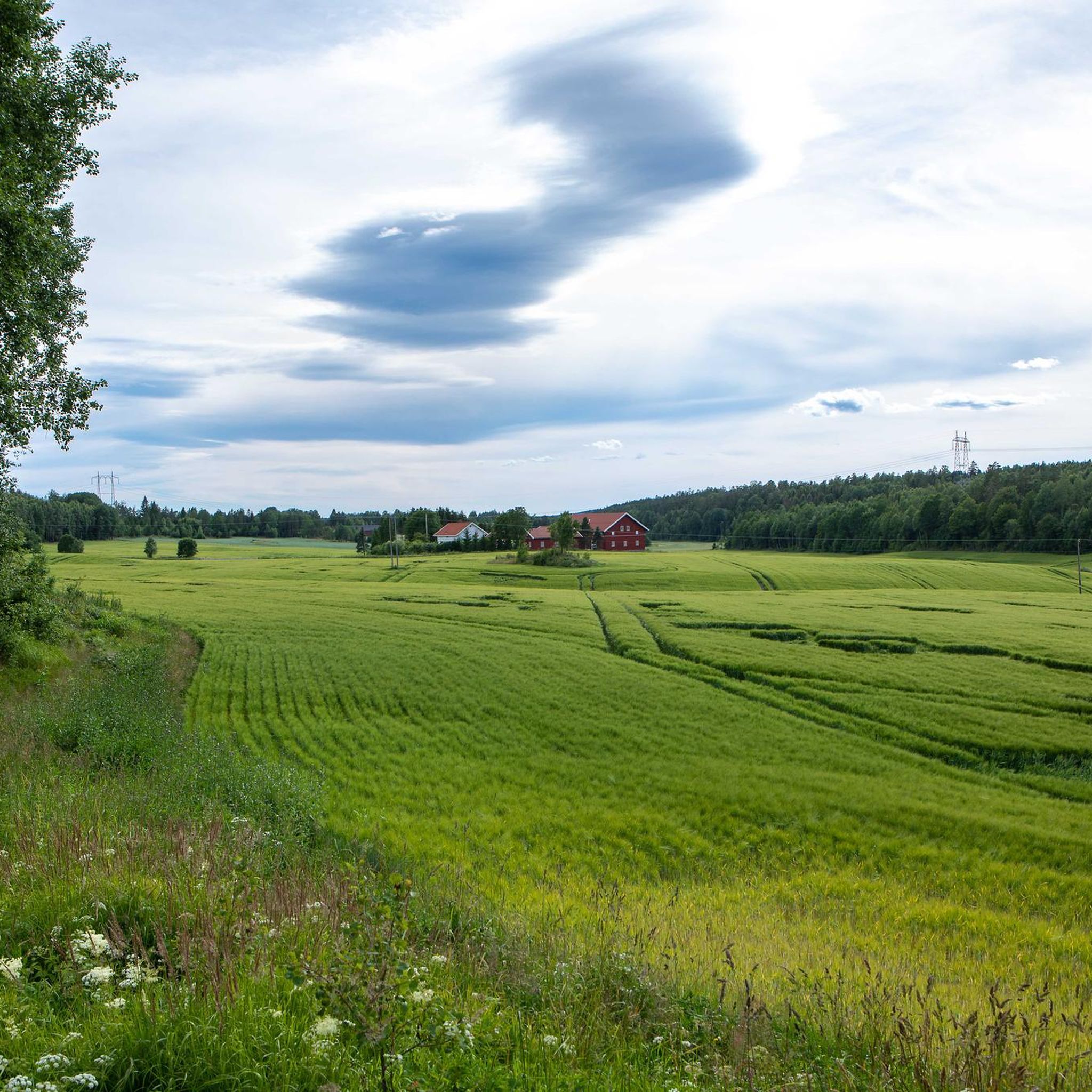
Sandbakkveien is a quiet country road with little traffic. Its picturesque setting makes it ideal for a peaceful stroll along its smooth surface.
0
0
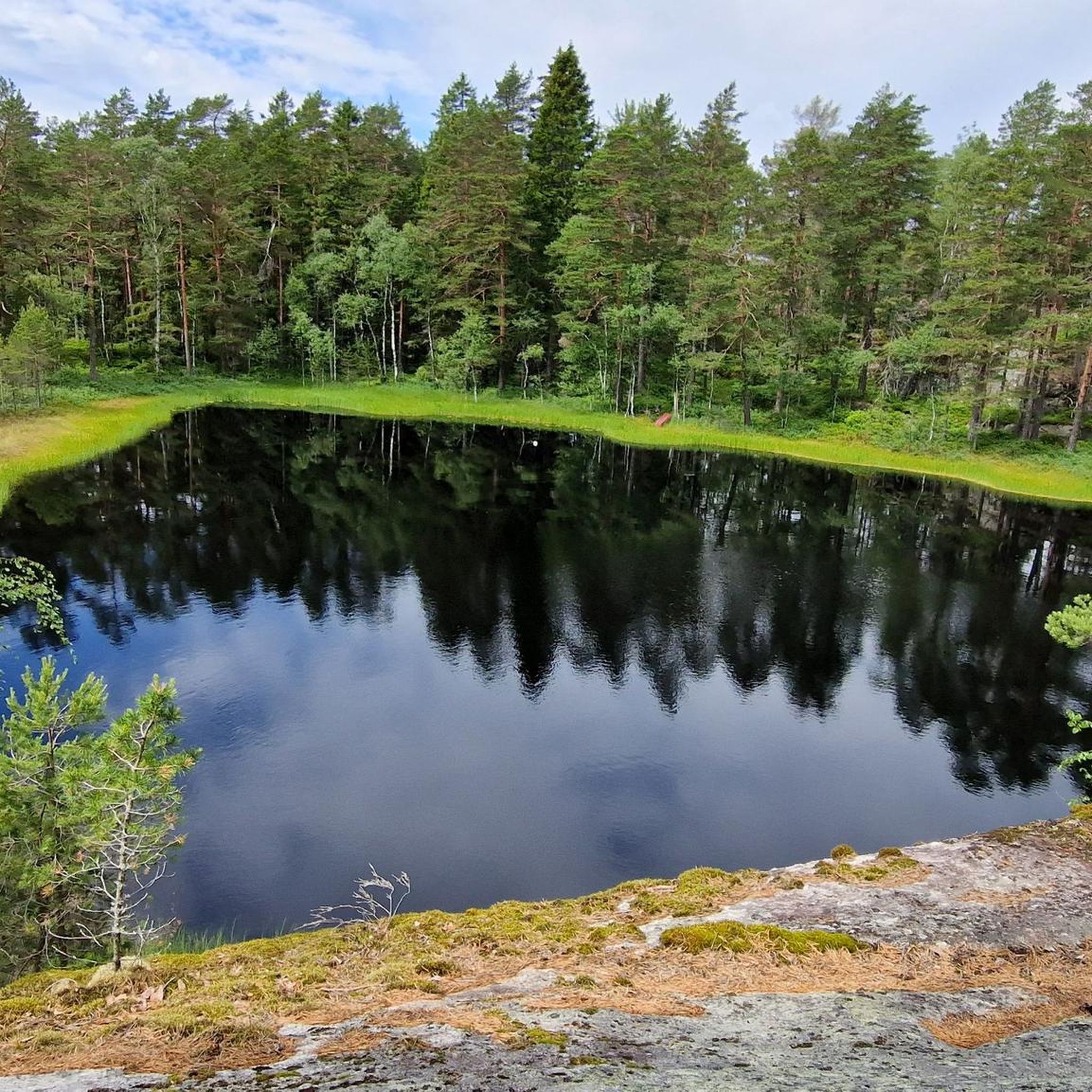
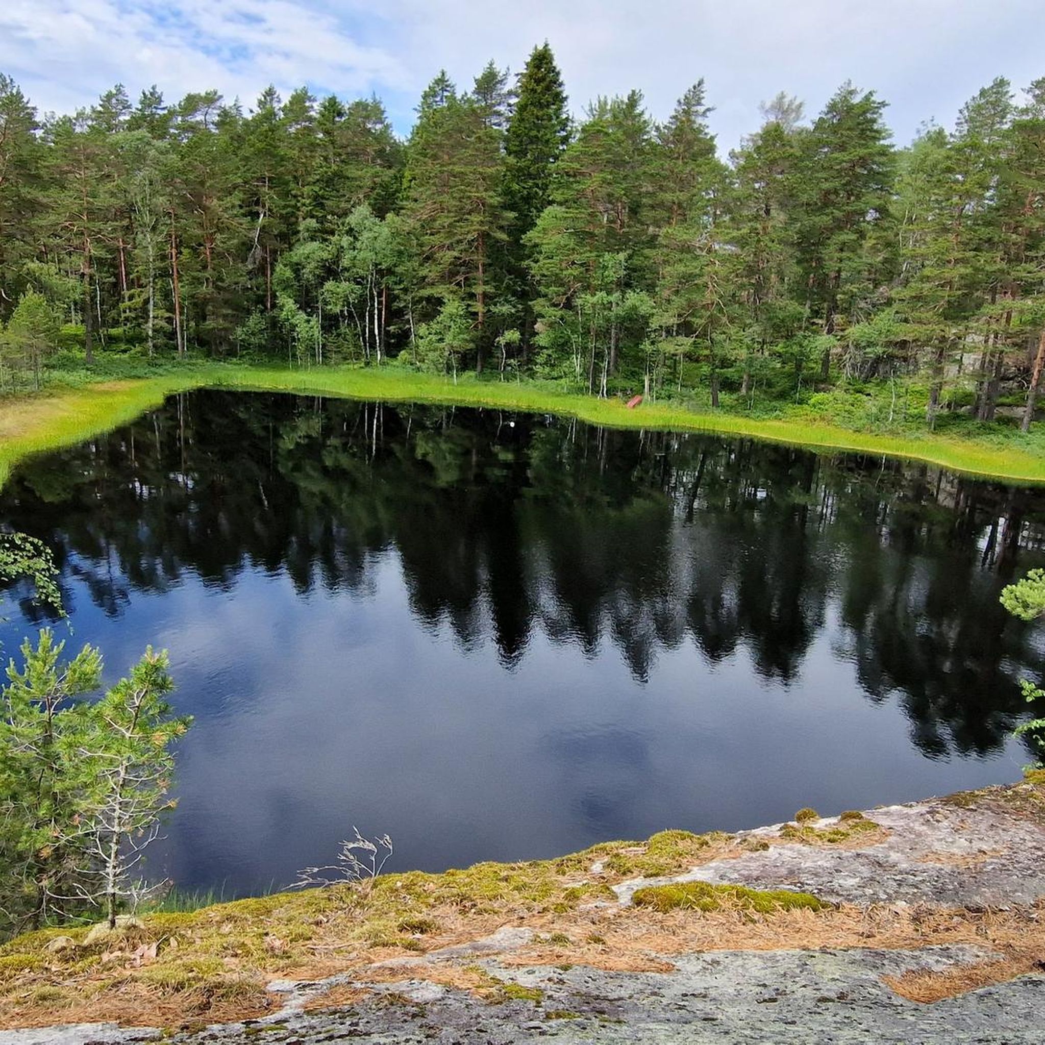
Setejern is one of the countless small bodies of water dotted throughout the region. A stroll along its shores is deeply relaxing.
0
0

This section offers a brief escape into a small patch of forest surrounding the ski resort. It’s a pleasant trail that lets you enjoy a bit of nature right on the outskirts of town.
0
0

The area surrounding the lodge features a rugged coastal landscape where the forest meets the water's edge. This location serves as a primary hub for those exploring the outdoor opportunities of the Sørreisa region, providing a functional base for both land and water-based activities.
0
0

From the observation tower you have a 360-degree panoramic view, with forests and rolling hills in all directions. On the horizon you will find landmarks such as the towers at Røverkollen and Tryvannshøgda in Oslo and Viktjernåsen in Trøgstad, the radar dome at Haukåsen, the characteristic Kolsåstoppene and not least the twinkling Mosjøen which is right nearby.
0
0

After the climb, you can take a breather on the stone and plateau-like open space and enjoy the great view.
3
0
Frequently Asked Questions
How many mountain bike trails are available in Gaupesteinmarka Naturreservat?
There are over 15 mountain bike trails in Gaupesteinmarka Naturreservat, offering a range of experiences from moderate to difficult. The area is known for its diverse terrain, including barren pine ridges and varied forest environments.
What are the typical difficulty levels of mountain bike trails in Gaupesteinmarka Naturreservat?
The trails in Gaupesteinmarka Naturreservat primarily range from moderate to difficult. There is one easy trail, 7 moderate trails, and 7 difficult trails, providing options for various skill levels.
Are there any family-friendly mountain bike trails in Gaupesteinmarka Naturreservat?
While many trails are moderate to difficult, there is at least one easy mountain bike trail available. For families, it's advisable to check the specific route details on komoot to ensure it matches the family's skill and endurance levels. Look for routes with less elevation gain and smoother terrain.
Can I bring my dog on the mountain bike trails in Gaupesteinmarka Naturreservat?
Cycling with dogs is generally permitted on trails and roads in Norwegian nature reserves, including Gaupesteinmarka, as long as it's done responsibly. Always keep your dog under control, especially in areas with wildlife, and be mindful of other users. Check for any specific local signage or restrictions.
What kind of terrain can I expect when mountain biking in Gaupesteinmarka Naturreservat?
You can expect a diverse landscape characterized by barren pine ridges with lichen-pine forest, heather-blueberry forest, and marked transverse crack valleys. The terrain includes elevation changes, with the highest point at Gaupesteinåsen, and features smaller streams and richer vegetation in the valleys.
Are there any notable landmarks or natural features to see along the trails?
Yes, the reserve features several interesting points. The Gaupesteinen is a massive boulder located at the border junction of three municipalities, which can be part of longer routes. The highest point, Gaupesteinåsen, offers potential scenic views. Additionally, the Gaupesteinhytta, a cabin managed by the Tomter scout group, is just south of the reserve and can serve as a rest stop.
What is the best time of year to go mountain biking in Gaupesteinmarka Naturreservat?
The best time for mountain biking in Gaupesteinmarka Naturreservat is typically during the warmer months, from late spring to early autumn, when trails are free of snow and ice. The varied forest environments are particularly beautiful during these seasons. Always check local weather conditions before heading out.
Where can I park when visiting Gaupesteinmarka Naturreservat for mountain biking?
While specific parking areas are not detailed in the guide, access points for trails often have designated parking. It's recommended to check the starting points of individual routes on komoot, such as the Hveinåsen – Gaupesteinåsen loop from Granerud or the Gørrtjernsrabben – Bakeråsen loop from Greverudåsen, for information on nearby parking facilities.
Is public transport available to reach the mountain bike trails in Gaupesteinmarka Naturreservat?
Gaupesteinmarka Naturreservat is located approximately 5 km east of Ski, Norway. While direct public transport to trailheads might be limited, you can likely reach the vicinity of Ski by public transport and then cycle or arrange for local transport to the reserve's entry points. Always plan your journey in advance.
What do other mountain bikers say about their experience in Gaupesteinmarka Naturreservat?
The area is highly rated by the komoot community, with an average score of 4.0 stars from 2 reviews. Over 40 mountain bikers have used komoot to explore the varied terrain, often praising the diverse forest types and the challenging yet rewarding elevation changes found on routes like the Hølåsen – Hanseåsen loop from Ytre Enebakk.
Are there any long-distance mountain bike routes in the reserve?
Yes, there are several longer routes. For example, the Flowy Descent Section loop from Ytre Enebakk is 24.2 miles (38.9 km) long, and the Flowy Descent Section loop from Kråkstad covers 23.6 miles (38.0 km), offering substantial distances for extended rides.
Are there any cafes or refreshment stops near the mountain bike trails?
The Gaupesteinhytta, a cabin managed by the Tomter scout group, is situated just south of the reserve and offers refreshments during the ski season. While its availability outside of winter for bikers might vary, it's a potential stop. For other options, you would likely need to venture towards nearby towns like Ski or Ytre Enebakk.
Most popular routes in Gaupesteinmarka Naturreservat

Get inspired with the komoot mobile app


Explore more
Browse the best MTB trails in other regions.
