The best running trails in Austadmarka Naturreservat
4.0
(7)
1,157
runners
124
runs
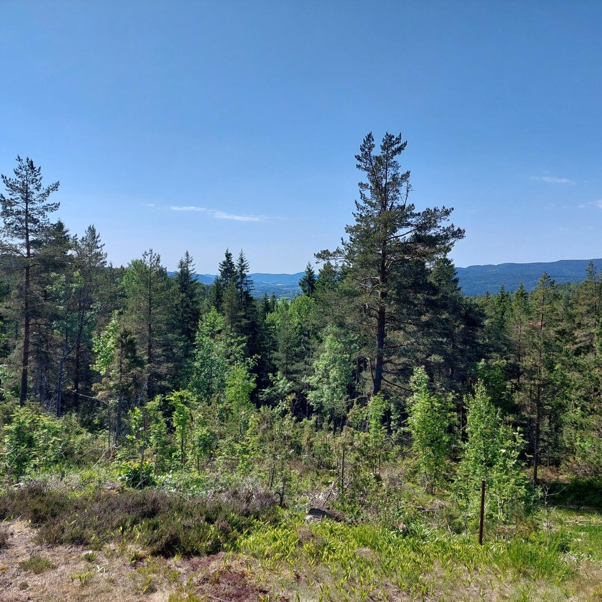
Jogging routes in Austadmarka Naturreservat traverse a diverse landscape characterized by varying terrain and ecological significance. The reserve features well-maintained forest paths winding through pine-dominated vegetation, offering a natural running surface. Elevation ranges from approximately 215 to 330 meters above sea level, providing varied inclines and descents suitable for different fitness levels. The ground composition varies, with limestone predominating in the northeast and sandstone in the southern parts.
Best jogging routes in Austadmarka Naturreservat
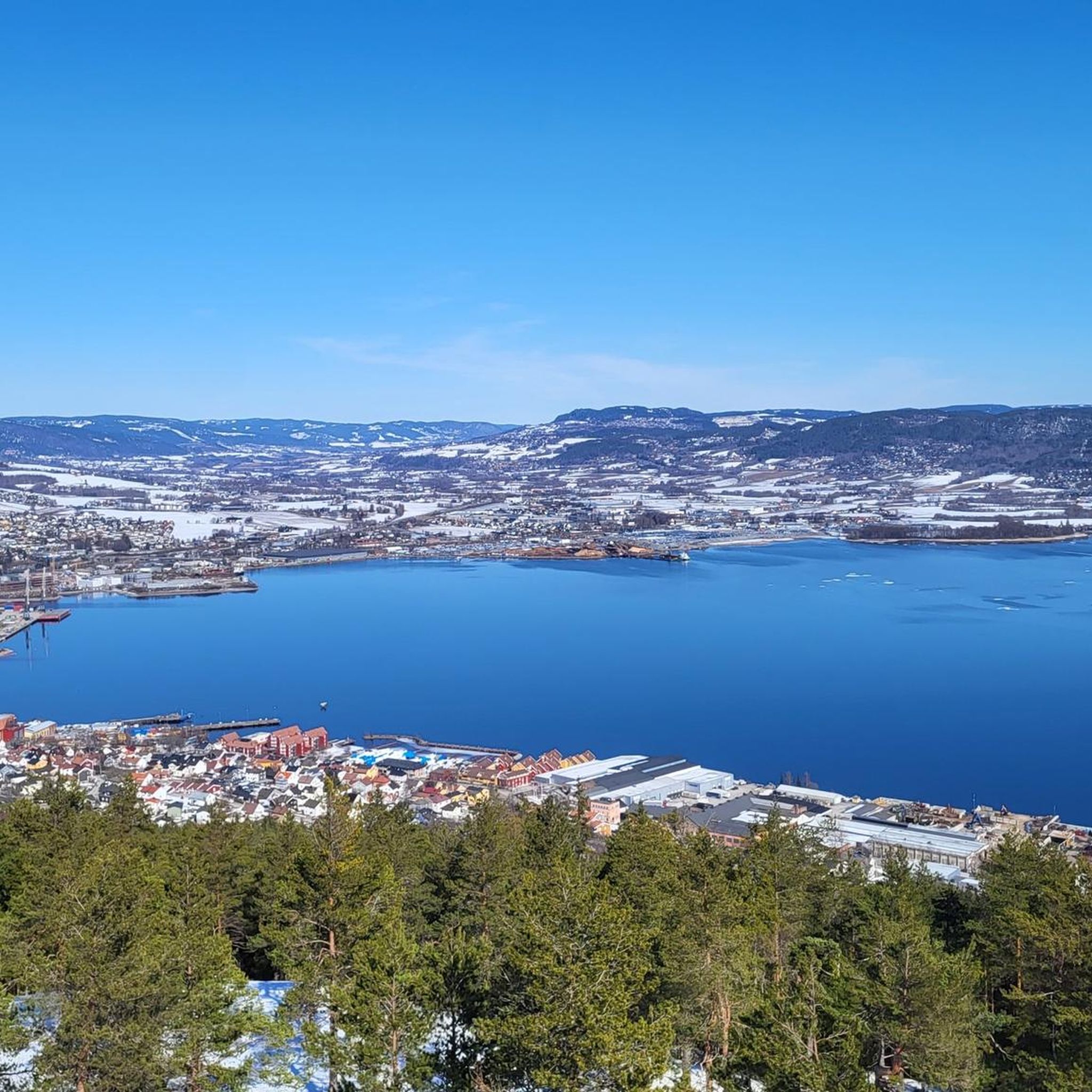
- The most popular jogging route is View of Drammen loop from Søndre Fjell, a 7.0 miles (11.3 km) trail that takes about 1 hour 18 minutes to complete. This route offers panoramic views over Drammen.
- Another top favourite among local runners is Haddelandsdammen – Austadmarka naturreservat loop from Søndre Fjell, a difficult 7.6 miles (12.2 km) path. This route winds through the varied terrain of the nature reserve.
- Local runners also love the Hellas Cabin – Austadmarka loop from Drammen, a 5.6 miles (9.0 km) trail leading through forest paths to Hellas Cabin, often completed in about 1 hour 0 minutes.
- Jogging in Austadmarka Naturreservat is defined by diverse terrain, well-maintained forest paths, and varied elevation. The network offers options for different ability levels, from moderate to difficult routes.
- The routes in Austadmarka Naturreservat are highly rated by the komoot community with an average score of 3.3 stars from over 3 reviews. More than 1000 runners have used komoot to explore Austadmarka Naturreservat's varied terrain.
Last updated: June 26, 2026
5
runners
11.4km
01:19
370m
370m
Hard run. Very good fitness required. Mostly paved surfaces. Suitable for all skill levels.
7
runners
12.1km
01:23
300m
300m
Hard run. Very good fitness required. Mostly paved surfaces. Suitable for all skill levels.

Sign up for free
4.0
(1)
47
runners
6.28km
00:39
10m
10m
Moderate run. Good fitness required. Mostly paved surfaces. Suitable for all skill levels.
16
runners
9.84km
01:02
110m
110m
Moderate run. Good fitness required. Mostly paved surfaces. Suitable for all skill levels.
11
runners
4.52km
00:32
150m
150m
Moderate run. Good fitness required. Mostly paved surfaces. Suitable for all skill levels.
Get access to more routes and recommendations from other explorers.
Sign up for free
Already have an account?
Our route recommendations are based on thousands of hikes, rides, and runs completed by other people on komoot.
Start today with a free account
Your next adventure awaits.
Login or Signup
Tips from the Community

From the bridge spanning the Drammenselva, you can enjoy the view of the river and also experience one of Norway’s traditions: the floating sauna. It’s the perfect opportunity to try out this way of life that Norwegians enjoy with friends.
0
0

nice views
0
0

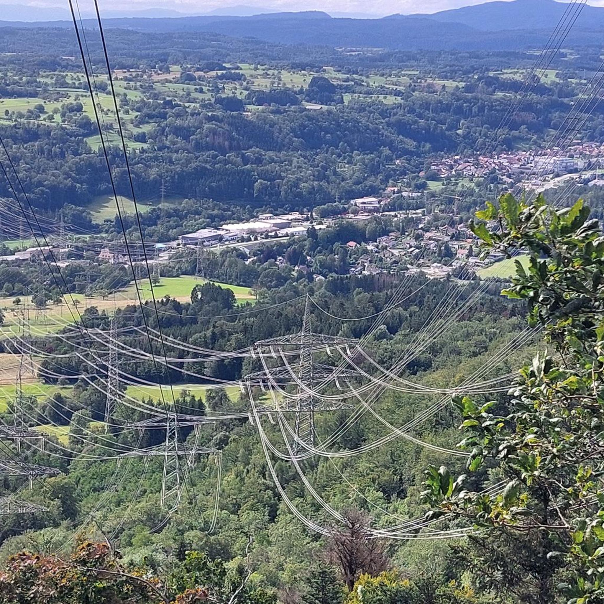
Haukåstoppen offers a beautiful panoramic view over Drammen and the surrounding landscape. The short but rewarding hike takes you through peaceful forests before reaching the open summit.
0
0
Hellas Hytta is a small, traditional cabin nestled in the peaceful forests near Drammen. Surrounded by tall trees and scenic trails, it’s a great spot to rest and enjoy nature. A perfect place for a break while exploring the area.
0
0
Frequently Asked Questions
How many running routes are available in Austadmarka Naturreservat?
Austadmarka Naturreservat offers a wide selection of running routes, with over 130 different trails to explore. These range in difficulty from easy to difficult, ensuring options for various fitness levels.
What kind of terrain can I expect on the jogging trails in Austadmarka Naturreservat?
The terrain in Austadmarka Naturreservat is quite diverse. You'll find well-maintained forest paths winding through pine-dominated vegetation, offering a natural running surface. The ground composition varies, with limestone in the northeast and sandstone in the southern parts, contributing to varied ecosystems and running experiences. Elevation ranges from approximately 215 to 330 meters above sea level, providing varied inclines and descents.
Are there any easy or beginner-friendly running routes in the reserve?
Yes, Austadmarka Naturreservat has options for beginners. While many routes are moderate to difficult, there are 5 easy routes available. For a moderate option that's not too challenging, consider the Bragernes strand loop from Drammen, which is 5.6 km with minimal elevation gain.
What are some notable landmarks or viewpoints I can see while running in Austadmarka Naturreservat?
Several trails offer scenic views and points of interest. Some routes provide panoramic views over Drammen. You might also encounter locations like Hellas Cabin, Risdalsåsen, Blektjern (a small lake), Gjerpenåsen, and Strømsås. There's also a Risdal Tower (Risdalstårnet) and designated shelters (gapahuker) along some paths.
Are there any circular running routes in Austadmarka Naturreservat?
Yes, many of the running routes in Austadmarka Naturreservat are circular, allowing you to start and end at the same point. An example is the Running loop from Brakerøya, which is a moderate 9.8 km loop.
Is Austadmarka Naturreservat suitable for family jogging or walks?
The reserve offers a range of options, from easy walks to more challenging hikes, making it suitable for families depending on the chosen trail. The well-maintained paths and diverse terrain can provide an engaging experience for various ages and fitness levels. Look for the easier routes if jogging with younger family members.
Are dogs allowed on the running trails in Austadmarka Naturreservat?
While the region is generally welcoming to outdoor activities, specific regulations for dogs within Austadmarka Naturreservat should be checked locally. Nature reserves often have rules regarding leashing dogs to protect wildlife, especially during certain seasons. It's always best to confirm with local signage or authorities.
What is the best time of year to go jogging in Austadmarka Naturreservat?
Austadmarka Naturreservat can be enjoyed year-round. The well-developed trail network, including illuminated trails (lysløype), makes it accessible even in winter. However, for the most comfortable running conditions, spring, summer, and early autumn offer pleasant temperatures and vibrant scenery. Winter jogging is possible, but be prepared for snow and ice conditions.
Are there cafes or places to get refreshments near the jogging routes?
The region around Austadmarka Naturreservat, being close to Drammen, likely offers various amenities. While specific cafes directly on the trails are not mentioned, you can find options in nearby urban areas before or after your run. Hellas Cabin, mentioned as a point of interest, might offer facilities depending on the season and opening hours.
What do other runners enjoy most about jogging in Austadmarka Naturreservat?
The area is highly rated by the komoot community, with an average score of 3.3 stars from over 3 reviews. Runners often praise the diverse terrain, the well-maintained forest paths, and the varied elevation that provides a good workout. The scenic views, especially those overlooking Drammen, are also a highlight for many.
How long do the running routes typically take to complete?
The duration of running routes varies significantly based on distance and difficulty. For example, a moderate 9.0 km trail like the Hellas Cabin – Austadmarka loop from Drammen can take about 1 hour. More challenging routes, such as the Haddelandsdammen – Austadmarka naturreservat loop from Søndre Fjell (12.2 km, difficult), might take closer to 1 hour 23 minutes.
Are there any routes with significant elevation changes for a challenging run?
Yes, Austadmarka Naturreservat offers routes with notable elevation changes. The terrain ranges from approximately 215 to 330 meters above sea level, providing varied inclines and descents. For a challenging run, consider routes marked as 'difficult,' such as the View of Drammen loop from Søndre Fjell, which features over 370 meters of elevation gain over 11.3 km.
Most popular routes in Austadmarka Naturreservat

Get inspired with the komoot mobile app


Explore more
Browse the best Running Trails & Routes in other regions.
