The best running trails in Djupdalen Og Kjaglidalen Naturreservat
4.5
(14)
2,169
runners
222
runs
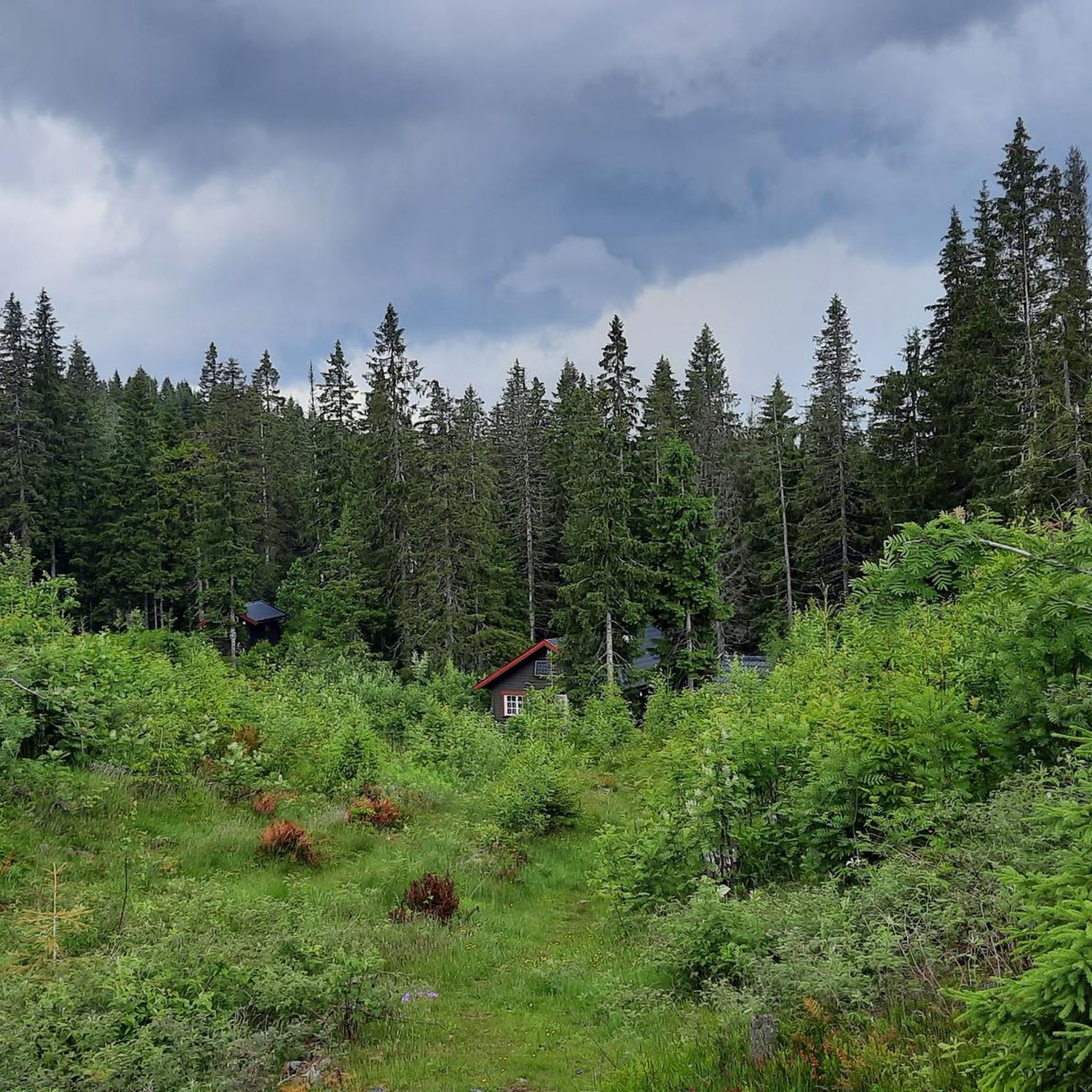
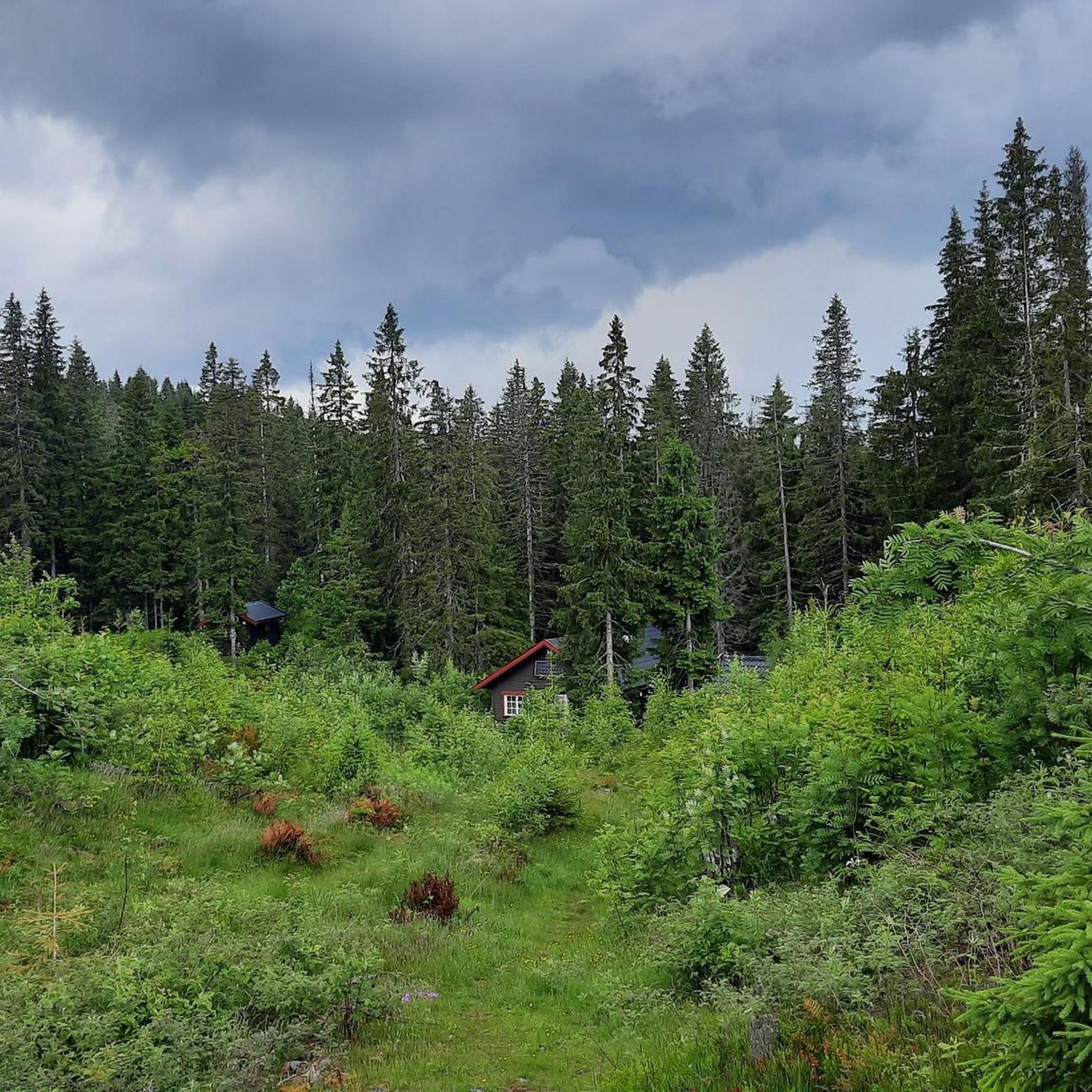
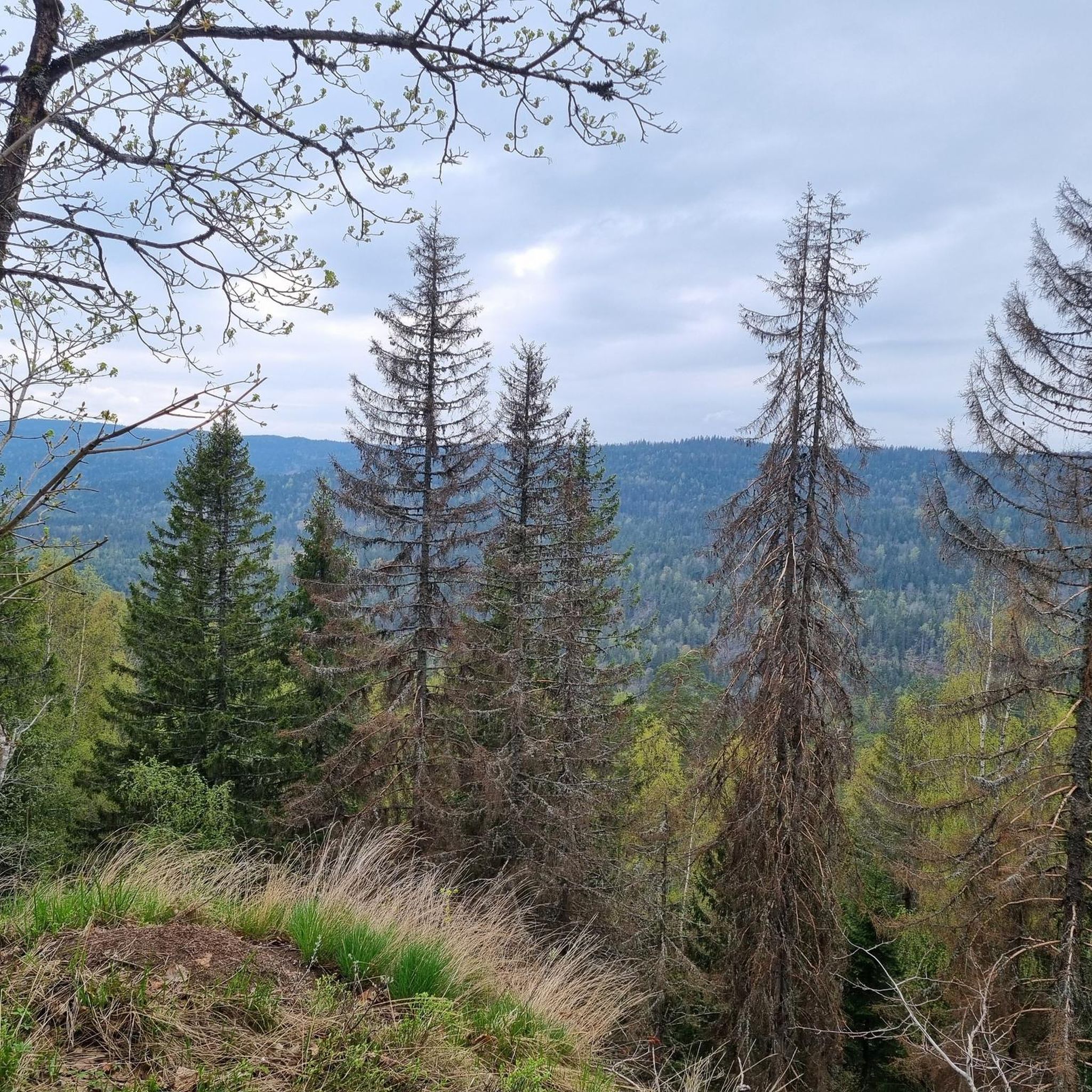
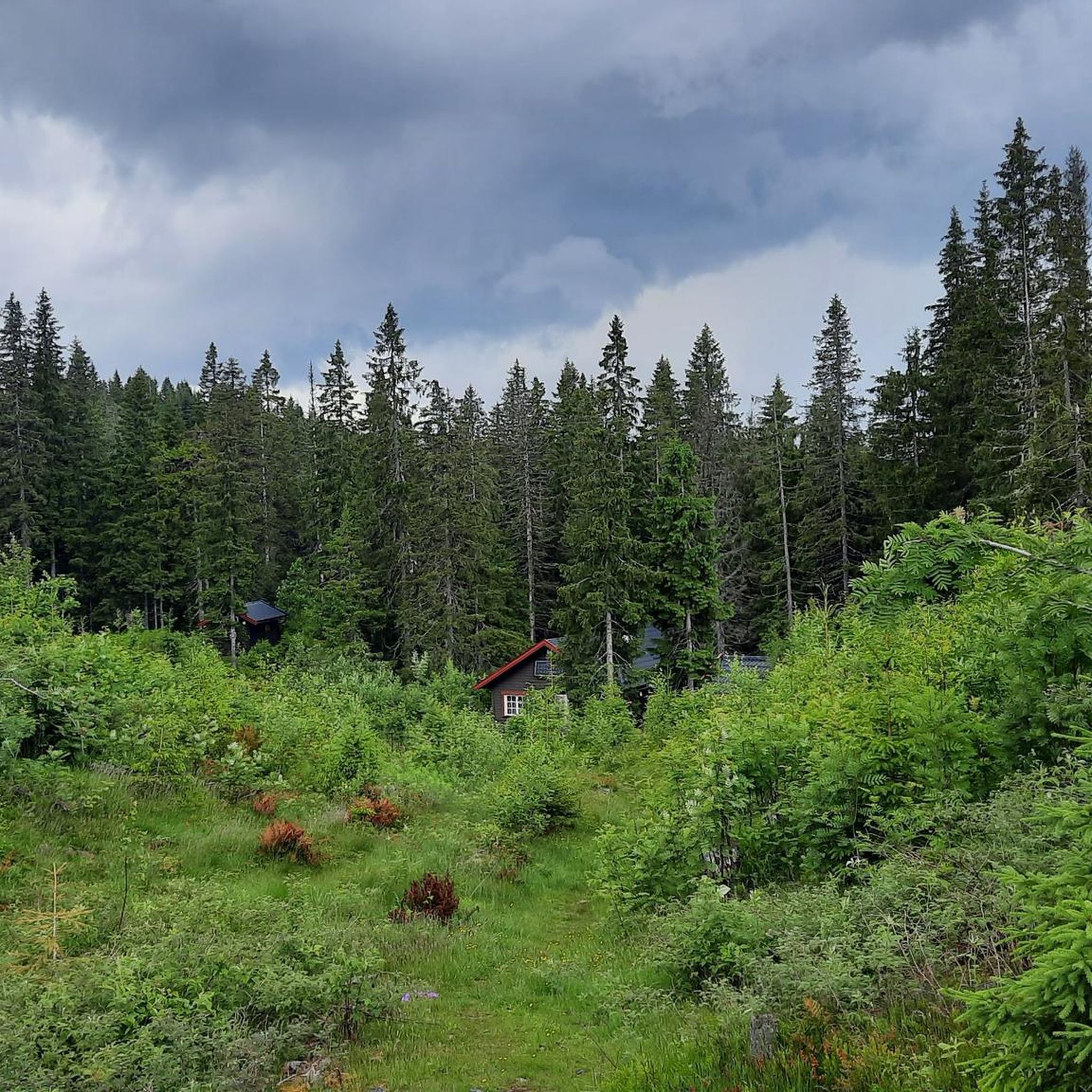
Jogging routes in Djupdalen Og Kjaglidalen Naturreservat traverse a wild, V-shaped valley carved by the Isielva river, featuring steep sides and unique rhomb porphyry bedrock. The reserve is recognized for its significant geological fault and varied topography. Its rich vegetation includes spruce and noble deciduous trees, transitioning from lower-lying, lush areas to higher, sparser coniferous forest zones. This diverse landscape offers a range of jogging experiences for different fitness levels.
Best jogging routes in Djupdalen Og Kjaglidalen Naturreservat
- The most…
Last updated: July 10, 2026
7
runners
10.6km
01:12
240m
240m
Moderate run. Good fitness required. Mostly accessible paths. Some sure footedness required.
7
runners
11.1km
01:11
140m
140m
Moderate run. Good fitness required. Mostly paved surfaces. Suitable for all skill levels.

Sign up for free
14
runners
13.2km
01:29
150m
150m
Moderate run. Good fitness required. Mostly paved surfaces. Suitable for all skill levels.
10
runners
13.9km
01:28
150m
150m
Moderate run. Good fitness required. Mostly paved surfaces. Suitable for all skill levels.
11
runners
8.64km
00:58
190m
180m
Moderate run. Good fitness required. Mostly paved surfaces. Suitable for all skill levels.
Get access to more routes and recommendations from other explorers.
Sign up for free
Already have an account?
Our route recommendations are based on thousands of hikes, rides, and runs completed by other people on komoot.
Start today with a free account
Your next adventure awaits.
Login or Signup
Popular around Djupdalen Og Kjaglidalen Naturreservat
Tips from the Community

A narrow path along the Sandvikselva river. The banks and the riverbed are still in their natural state here.
0
0

A great rest area right next to Kongens Utsikt. Here you'll find a covered bench, which also serves as a shelter for the night if necessary.
7
0

A beautiful vantage point overlooking the fjord. From the hiking parking lot at the hotel, it's a short hike that's also doable with children.
4
0
Great vantage point overlooking the fjord. There are plenty of benches and an emergency shelter. There is currently a forest fire risk, as at least the signs on site warn of this.
3
0

Tyrifjorden is a picturesque inland lake in the Viken county in southeastern Norway, located about 40 kilometers northwest of Oslo. With a surface area of approximately 139 km², it is the fifth largest lake in the country and has an impressive volume of over 13 km³. The lake's deepest point reaches 295 meters. The region around Tyrifjorden is popular for recreational activities such as hiking, camping, swimming, and fishing. The flora and fauna are also diverse, making it an attractive destination for nature lovers.
0
0

The view is outstandind. One of the best in the whole region, photos do not give justice to it.
0
0

A "royal view" is actually offered here! Stunning!!!
4
0

Kongens Utsikt - the royal lookout point - is 484 meters above the Tyrifjorden and Steinsfjorden lakes. From here you have a great view over large parts of Ringerike and Hole. King Karl Johan visited this place in 1832, from which the name is derived.
0
0
Frequently Asked Questions
How many running routes are available in Djupdalen Og Kjaglidalen Naturreservat?
There are over 200 running routes in Djupdalen Og Kjaglidalen Naturreservat, offering a wide range of options for different fitness levels. You'll find everything from easier paths to more challenging trails.
What kind of terrain can I expect on the jogging trails in Djupdalen Og Kjaglidalen Naturreservat?
The reserve features a wild, V-shaped valley carved by the Isielva river, with sections of steep sides and unique rhomb porphyry bedrock. You'll encounter varied topography, from lush coniferous and deciduous forests in lower areas to sparser coniferous forests at higher elevations. Paths can range from accessible to more rugged, so sturdy shoes are often recommended for longer or more challenging runs.
Are there any family-friendly running routes in Djupdalen Og Kjaglidalen Naturreservat?
Yes, the reserve offers routes suitable for families. While specific 'family-friendly' routes aren't highlighted, many of the easier paths, particularly those up to 3 miles with moderate elevation, are suitable for a leisurely jog or walk with children. These often feature paved surfaces or well-maintained trails.
Can I bring my dog on the running trails in Djupdalen Og Kjaglidalen Naturreservat?
Djupdalen Og Kjaglidalen Naturreservat is generally welcoming to dogs, making it a great place for a run with your canine companion. However, always ensure your dog is kept on a leash, especially in protected areas and near wildlife, and remember to clean up after them to preserve the natural environment for everyone.
What are some notable natural features or landmarks to look out for while running?
As you run through the reserve, you'll experience the dramatic V-shaped valley of the Isielva river and its unique rhomb porphyry bedrock. The diverse vegetation, including ancient spruce and noble deciduous trees, is also a highlight. For those seeking elevation, the reserve includes three named mountains: Engaåsen (the highest point) and Kallmyråsen (the most prominent), offering scenic views.
Are there circular running routes available in the reserve?
Yes, many of the running routes in Djupdalen Og Kjaglidalen Naturreservat are designed as loops, allowing you to start and finish at the same point. For example, the Åboråsen loop from Hole is a popular moderate circular trail, and the Rønningsåsen loop from Sollihøgda also offers a great circular experience.
What is the best time of year to go jogging in Djupdalen Og Kjaglidalen Naturreservat?
The reserve is suitable for jogging throughout much of the year. Spring and autumn offer pleasant temperatures and beautiful foliage. Summer is also great, though some paths might be busier. In winter, some routes may be covered in snow or ice, requiring appropriate gear and caution, but can offer a unique experience for those prepared.
What do other runners enjoy most about jogging in Djupdalen Og Kjaglidalen Naturreservat?
The area is highly rated by the komoot community, with an average score of 4.6 stars from more than 10 reviews. Runners often praise the varied terrain, the beautiful natural scenery of the V-shaped valley and diverse forests, and the range of routes suitable for different abilities, from casual jogs to more challenging trail runs.
How long are the running trails in Djupdalen Og Kjaglidalen Naturreservat?
The running trails vary significantly in length. You can find shorter loops, such as the Running loop from Kveise which is about 3.2 miles (5.1 km), up to longer routes like the Sandvikselva loop from Skui, which spans approximately 8.7 miles (13.9 km).
Are there options for beginner runners?
Yes, beginners can find suitable routes. The reserve offers accessible paths, including some largely paved surfaces, that are ideal for those new to running or looking for a less strenuous workout. Look for routes with lower elevation gain and shorter distances to start.
Is there parking available near the running routes?
While specific parking locations are not detailed in every route description, many popular starting points for trails, such as those near Skui or Sollihøgda, typically have designated parking areas or roadside parking options. It's advisable to check local maps or route details for the most convenient parking for your chosen starting point.
How can I reach Djupdalen Og Kjaglidalen Naturreservat using public transport?
The reserve is located in the Oslo region, and while specific public transport stops directly at trailheads might vary, many areas around the reserve are accessible by local bus services. Planning your route in advance using public transport apps or websites for the Oslo region will help you find the best connection to your desired starting point, such as Skui or Sollihøgda.
Most popular routes in Djupdalen Og Kjaglidalen Naturreservat

Get inspired with the komoot mobile app


Explore more
Browse the best Running Trails & Routes in other regions.
