The best road cycling routes in Fritzøehus Landskapsvernområde
4.9
(6)
515
riders
39
rides
Road cycling routes in Fritzøehus Landskapsvernområde offer varied terrain across a landscape conservation area in Larvik, Norway. The region features elevations ranging from 5 to 135 meters above sea level, characterized by ridges and hills composed of larvikite rock. Cyclists can expect undulating routes through areas bordering Norway's largest continuous beech forest, Bøkeskogen, and a meticulously maintained cultural landscape. The broader Larvik area provides engaging road cycling experiences with both scenic ascents and descents.
Best road cycling routes in Fritzøehus…
Last updated: July 12, 2026
4.7
(3)
86
riders
59.3km
02:52
670m
670m
Moderate road ride. Good fitness required. Mostly well-paved surfaces and easy to ride.
5.0
(2)
36
riders
99.7km
05:26
1,450m
1,450m
Hard road ride. Very good fitness required. Some segments of this route may be unpaved and difficult to ride.

Sign up for free
24
riders
46.5km
02:03
390m
390m
Moderate road ride. Good fitness required. Mostly well-paved surfaces and easy to ride.
16
riders
40.5km
01:50
400m
400m
Moderate road ride. Good fitness required. Mostly well-paved surfaces and easy to ride.
12
riders
21.9km
01:00
220m
220m
Easy road ride. Great for any fitness level. Mostly well-paved surfaces and easy to ride.
Get access to more routes and recommendations from other explorers.
Sign up for free
Already have an account?
Our route recommendations are based on thousands of hikes, rides, and runs completed by other people on komoot.
Start today with a free account
Your next adventure awaits.
Login or Signup
Popular around Fritzøehus Landskapsvernområde
Tips from the Community


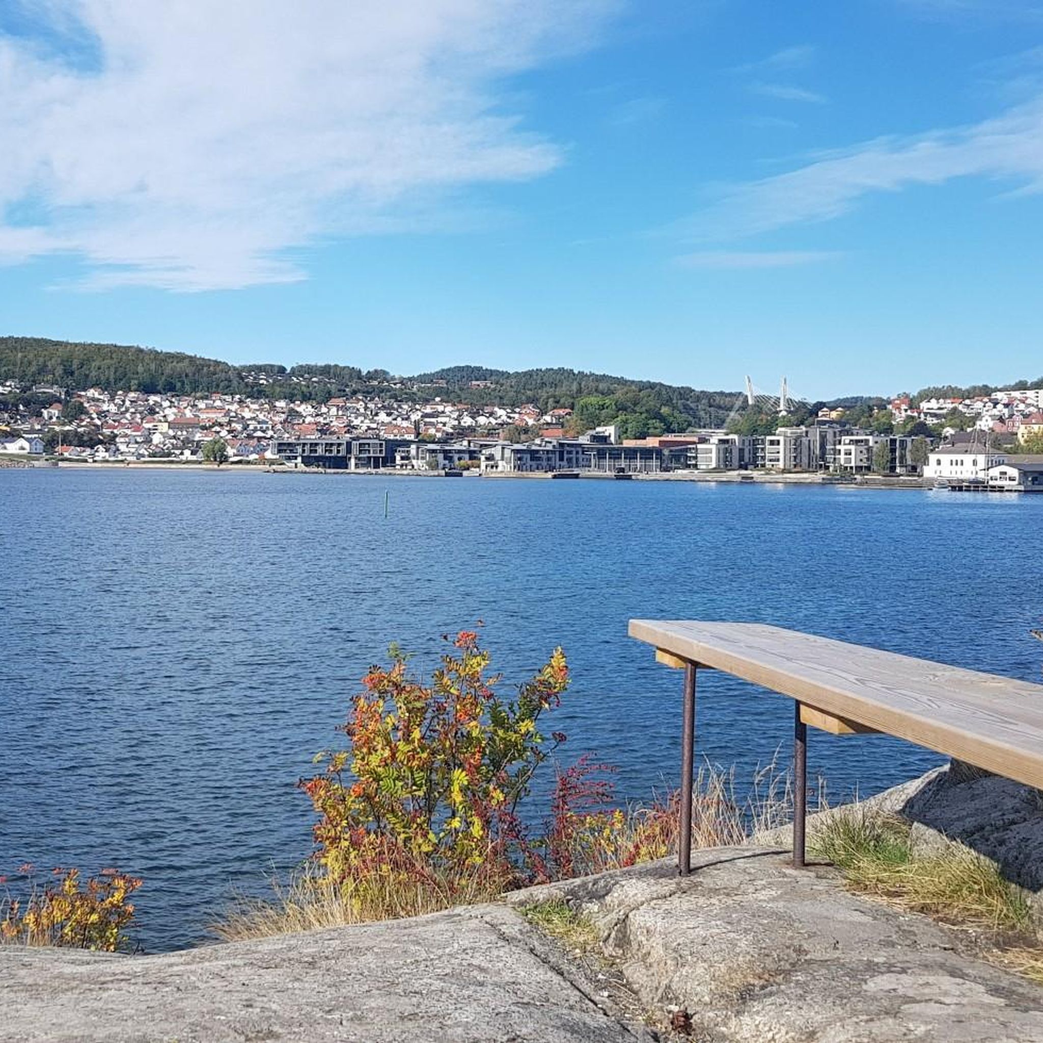
The Gloppe Bridge in Larvik is the last bridge to span the Numedalslågen before it flows into the bay. Charming little islets add to the view.
0
0
The Bommestad Bridge was built in 1959 on the main Sørlandske road. Although a dual-carriageway motorway bridge was later constructed nearby, this bridge has been preserved and is protected by the Norwegian Ministry of Cultural Heritage. It offers a fine view of the Numedalslågen river, with limited traffic.
0
0

A famous landmark in the area, this was the first 'garrison church' in Norway, which housed members of the navy working in the nearby shipyard.
0
0

Kvelde Church stands white and wooden in the village of Kvelde, Larvik Municipality, a long church built in 1871 from Jacob Wilhelm Nordan's plans for about 250 people.
0
0

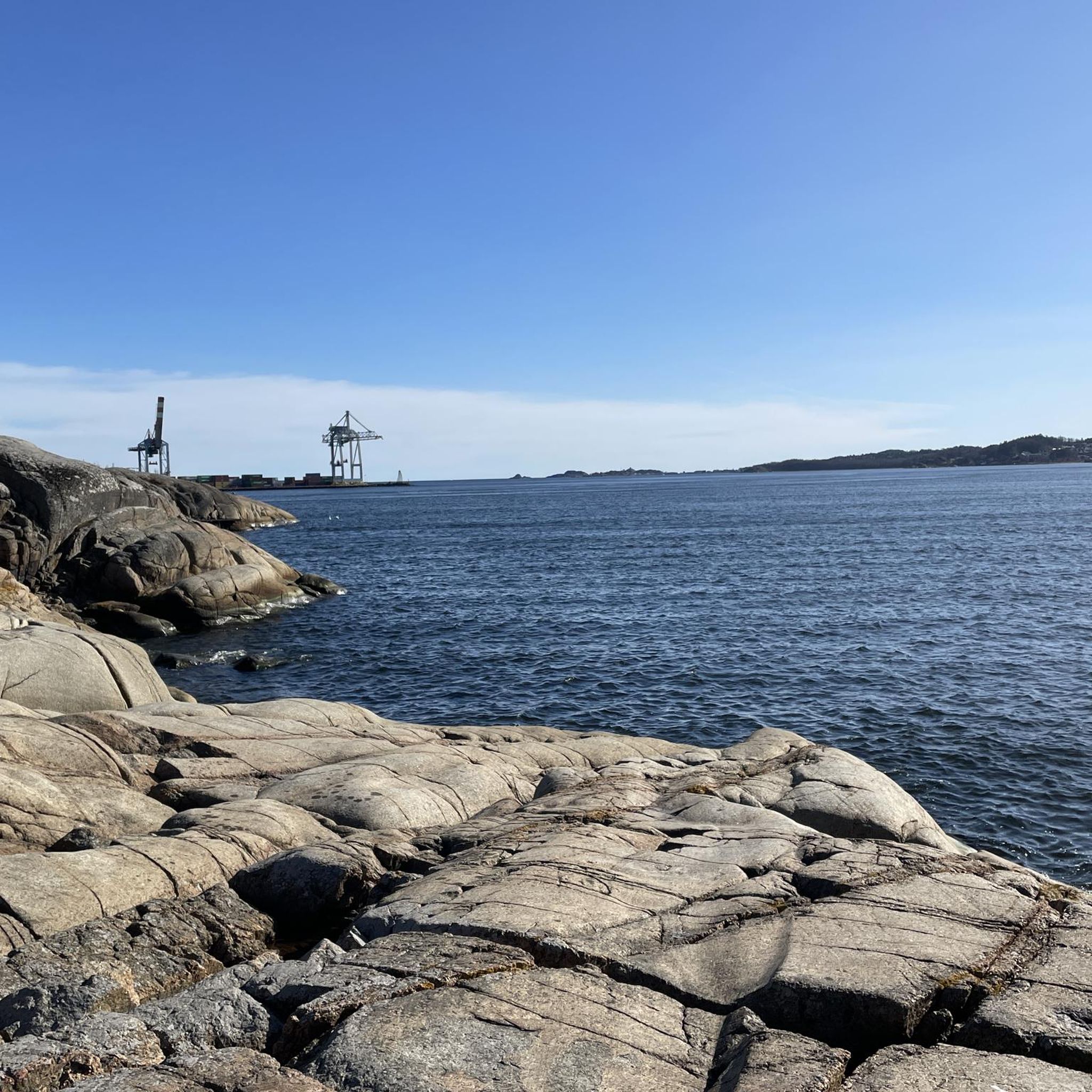
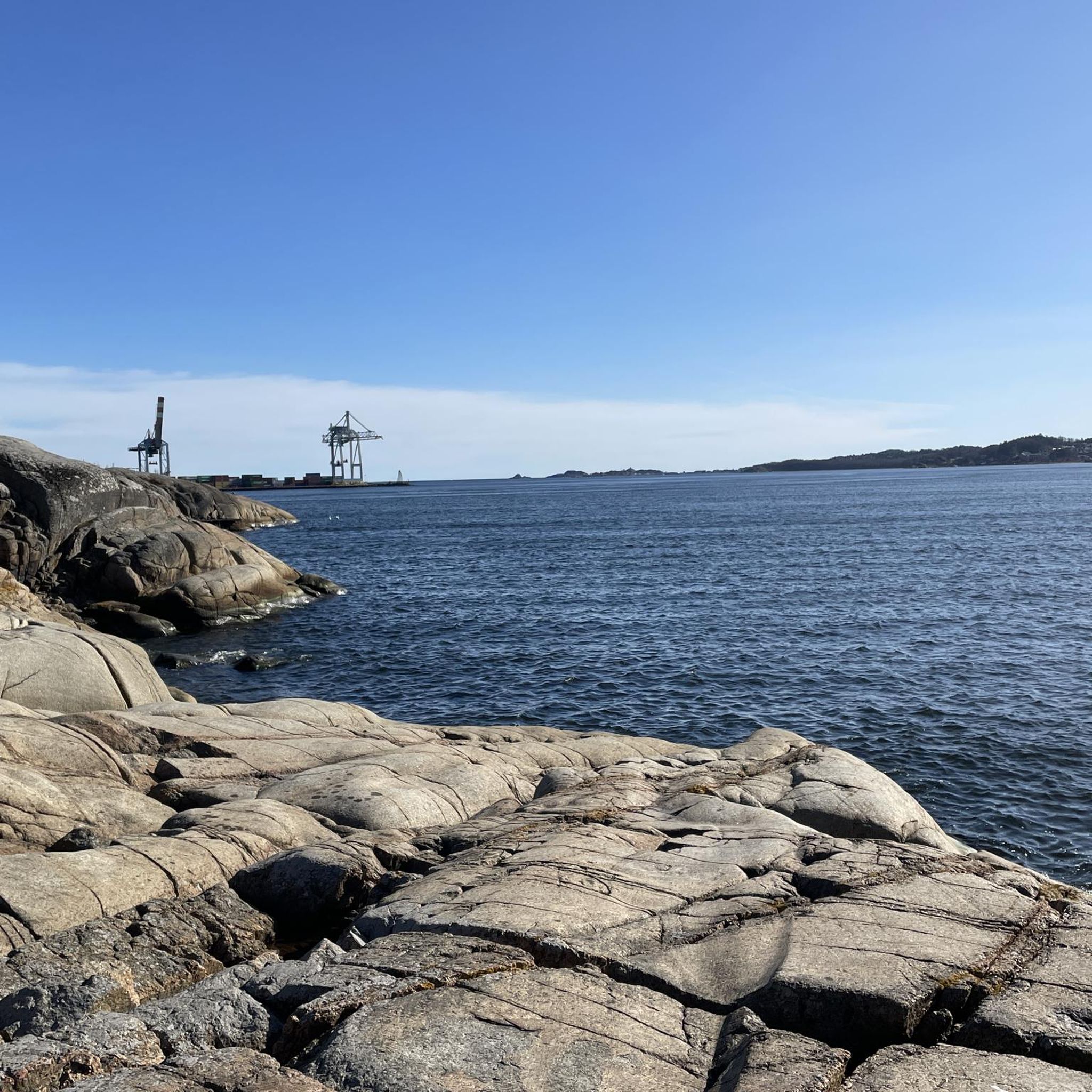
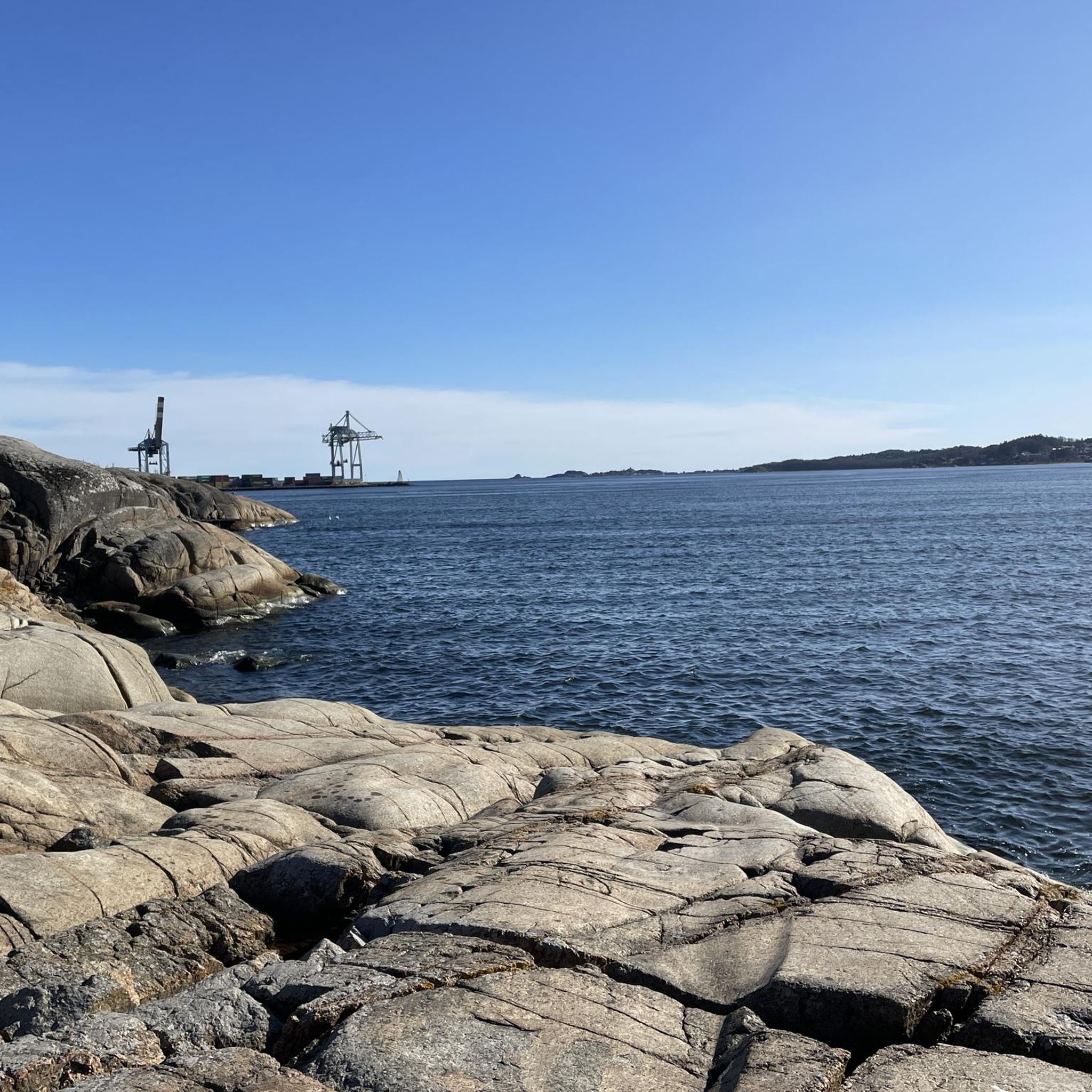
Very nice trip through the archipelago, with narrow passages, past small islands. Bring provisions - no sales, and no charging power for your cell phone.
0
0


The church was built as a garrison church for Fredriksvern and consecrated in 1756. The church is the country's first garrison church (garrison = all military troops in a city or fortress). The reason for this was that in 1750 Stavern became a naval shipyard for the Danish-Norwegian Navy under the name Fredriksværn Værft, after King Fredrik 5.
0
0
Frequently Asked Questions
What is the general terrain like for road cycling in Fritzøehus Landskapsvernområde?
The region offers varied terrain with elevations ranging from 5 to 135 meters above sea level. You can expect undulating routes characterized by ridges and hills composed of larvikite rock, providing both scenic ascents and descents.
How many road cycling routes are available in Fritzøehus Landskapsvernområde?
There are over 40 road cycling routes available in Fritzøehus Landskapsvernområde, catering to various preferences and skill levels.
Are there road cycling routes suitable for beginners or those looking for an easier ride?
Yes, approximately 12 of the routes are classified as easy, offering less challenging options for beginners or those preferring a more relaxed pace. For example, you can find routes with moderate distances and elevation gains.
Are there challenging road cycling routes for experienced cyclists?
Absolutely. For experienced cyclists seeking a challenge, there are 5 difficult routes available. These often feature significant elevation gains and longer distances, such as the Herregården Museum, Larvik – Holmfoss loop from Larvik, which covers nearly 100 km with substantial climbing.
What natural features can I expect to see along the road cycling routes?
You'll cycle through areas bordering Norway's largest continuous beech forest, Bøkeskogen, which offers picturesque scenery. The landscape also features varied topography with ridges and hills, and you might spot diverse flora and fauna, including rich birdlife and fallow deer.
Are there any cultural landmarks or points of interest to explore while road cycling?
Yes, the area is a meticulously maintained cultural landscape established in the 1860s. While the inner park around Fritzøehus Castle is restricted, the broader area features an English-style park with rare imported trees and shrubs, and sculptures by renowned Norwegian artists like Gustav Vigeland's 'Til eventyrland'.
What do other road cyclists say about the routes in Fritzøehus Landskapsvernområde?
The routes in Fritzøehus Landskapsvernområde are highly rated by the komoot community, with an average score of 4.8 stars from over 4 reviews. More than 500 road cyclists have used komoot to explore the varied terrain, often praising the scenic beauty and diverse landscapes.
Is public transport available to reach the road cycling areas?
Larvik, the main town near Fritzøehus Landskapsvernområde, is well-connected by public transport, including train and bus services, making it accessible for cyclists without a car. From Larvik, you can often start your cycling routes directly or find local connections.
Where can I park my car if I drive to the road cycling routes?
While specific parking areas for cyclists are not detailed for the immediate conservation area, Larvik and its surrounding areas offer various public parking options. It's advisable to check local parking facilities in Larvik before your visit.
Are there any circular road cycling routes in the region?
Yes, many of the routes are designed as loops, allowing you to start and finish at the same point. For example, the Helgeroa–Langesund Ferry – Fredriksvern Church loop from Larvik is a popular circular option offering coastal views.
What is the best time of year for road cycling in Fritzøehus Landskapsvernområde?
The best time for road cycling is generally during the warmer months, from late spring to early autumn (May to September), when the weather is mild, and the natural landscapes, especially the beech forest, are at their most vibrant. Always check local weather conditions before heading out.
Are there any specific access requirements or permits needed for cycling in the area?
While the broader landscape conservation area is generally accessible, access to the inner park around Fritzøehus Castle is restricted and typically requires an access card obtainable from the Treschow-Fritzøe headquarters. Road cycling routes generally utilize public roads and accessible paths around these restricted zones.
Can I find cafes or places to stop for refreshments along the routes?
The routes often pass through or near towns and villages in the broader Larvik area, where you can find cafes and other establishments for refreshments. It's a good idea to plan your route and check for amenities along the way, especially for longer rides.
Most popular routes in Fritzøehus Landskapsvernområde

Get inspired with the komoot mobile app


Explore more
Browse the best Road cycling routes in other regions.
