The best road cycling routes around Hilgenroth
4.7
(315)
2,046
riders
183
rides
Road cycling routes around Hilgenroth traverse a diverse landscape characterized by hilly terrain, forests, and valleys. The region offers varied routes, from leisurely rides through green meadow landscapes to more challenging climbs. Elevated points such as Beulskopf, approximately 370 meters above sea level, provide panoramic views. Cyclists can explore the Nister Valley and forests like Weidchen, ensuring a visually engaging experience.
Best road cycling routes around Hilgenroth
- The most popular road cycling route is Dattenfeld Weir on the Sieg –…
Last updated: July 5, 2026
4.7
(3)
25
riders
76.9km
03:36
830m
830m
Moderate road ride. Good fitness required. Some segments of this route may be unpaved and difficult to ride.
4.6
(17)
23
riders
39.9km
01:50
380m
380m
Moderate road ride. Good fitness required. Mostly well-paved surfaces and easy to ride.

Sign up for free
4.5
(4)
23
riders
38.9km
01:47
380m
380m
Moderate road ride. Good fitness required. Mostly well-paved surfaces and easy to ride.
18
riders
Moderate road ride. Good fitness required. Mostly well-paved surfaces and easy to ride.
14
riders
26.6km
01:27
350m
350m
Moderate road ride. Good fitness required. Mostly well-paved surfaces and easy to ride.
Get access to more routes and recommendations from other explorers.
Sign up for free
Already have an account?
Our route recommendations are based on thousands of hikes, rides, and runs completed by other people on komoot.
Start today with a free account
Your next adventure awaits.
Login or Signup
Popular around Hilgenroth
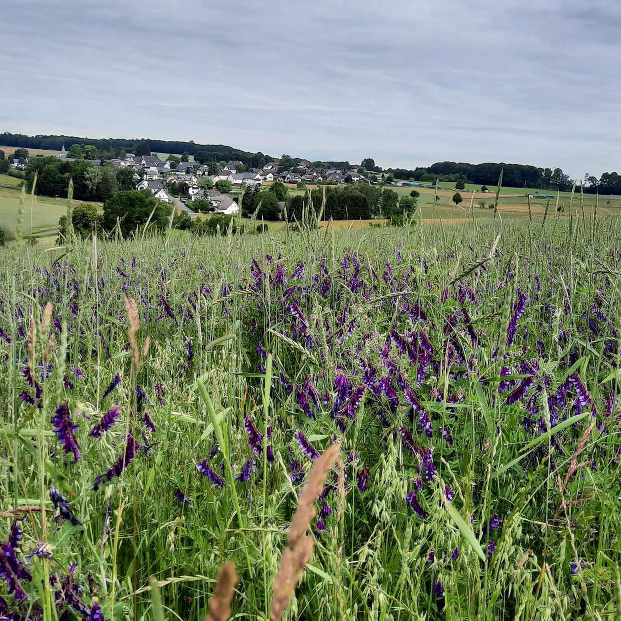
Hiking on the Cologne Trail – Discover nature close to the city
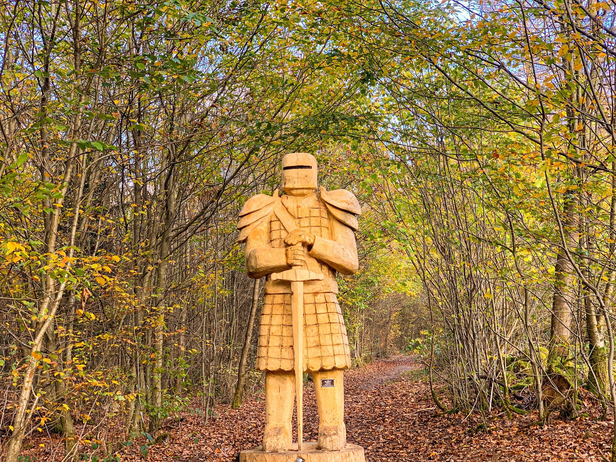
Nature, art & history on the adventure trails of the Sieg Nature Region
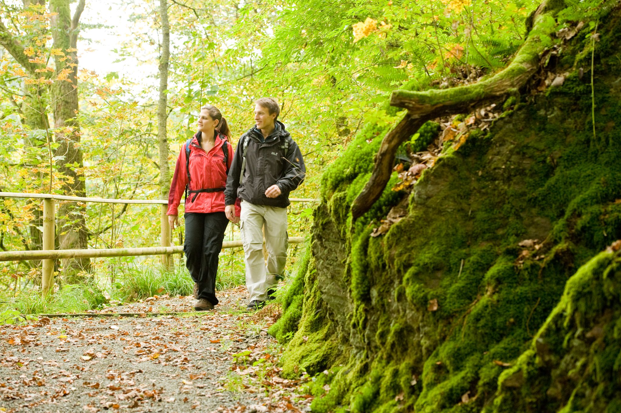
Hike the WesterwaldSteig in Germany’s Westerwald-Sieg Region
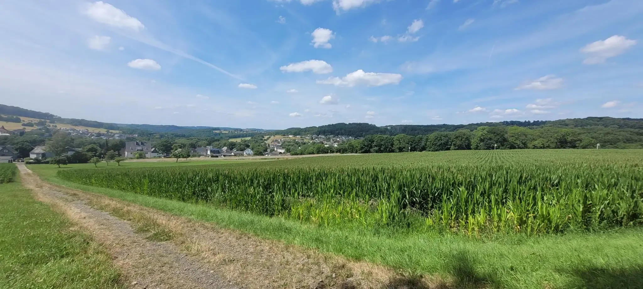
Hiking around Hilgenroth
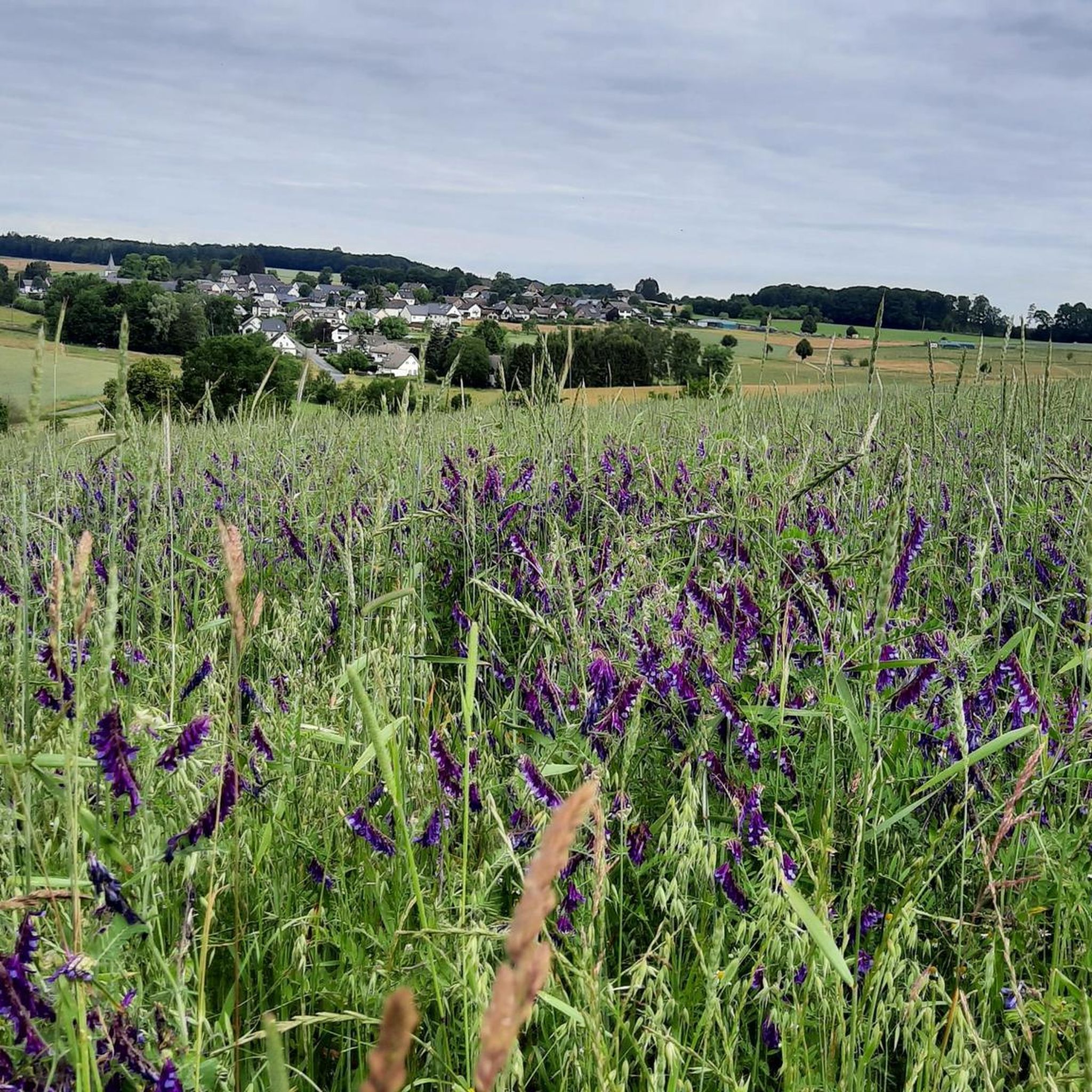
Cycling around Hilgenroth
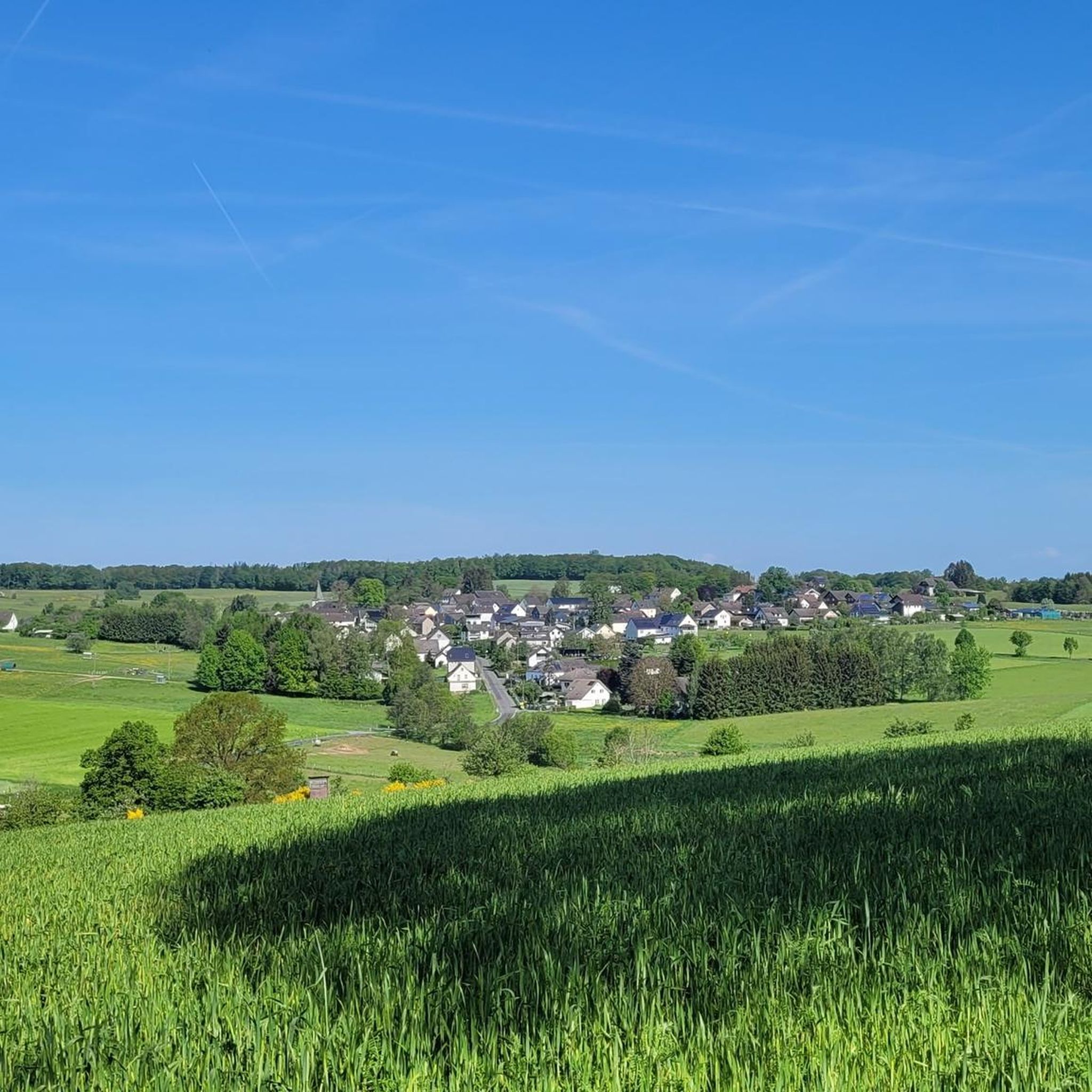
MTB Trails around Hilgenroth
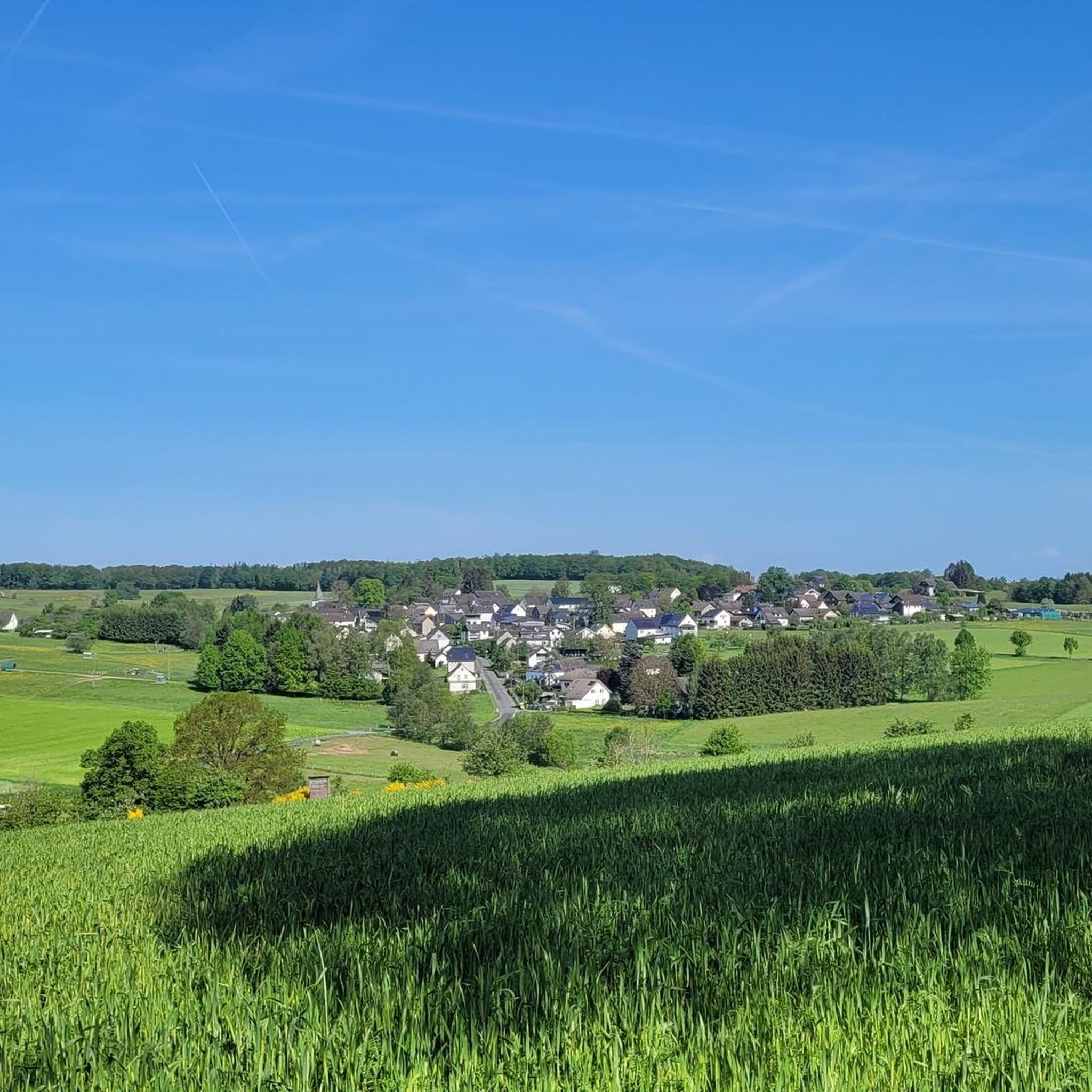
Running Trails around Hilgenroth
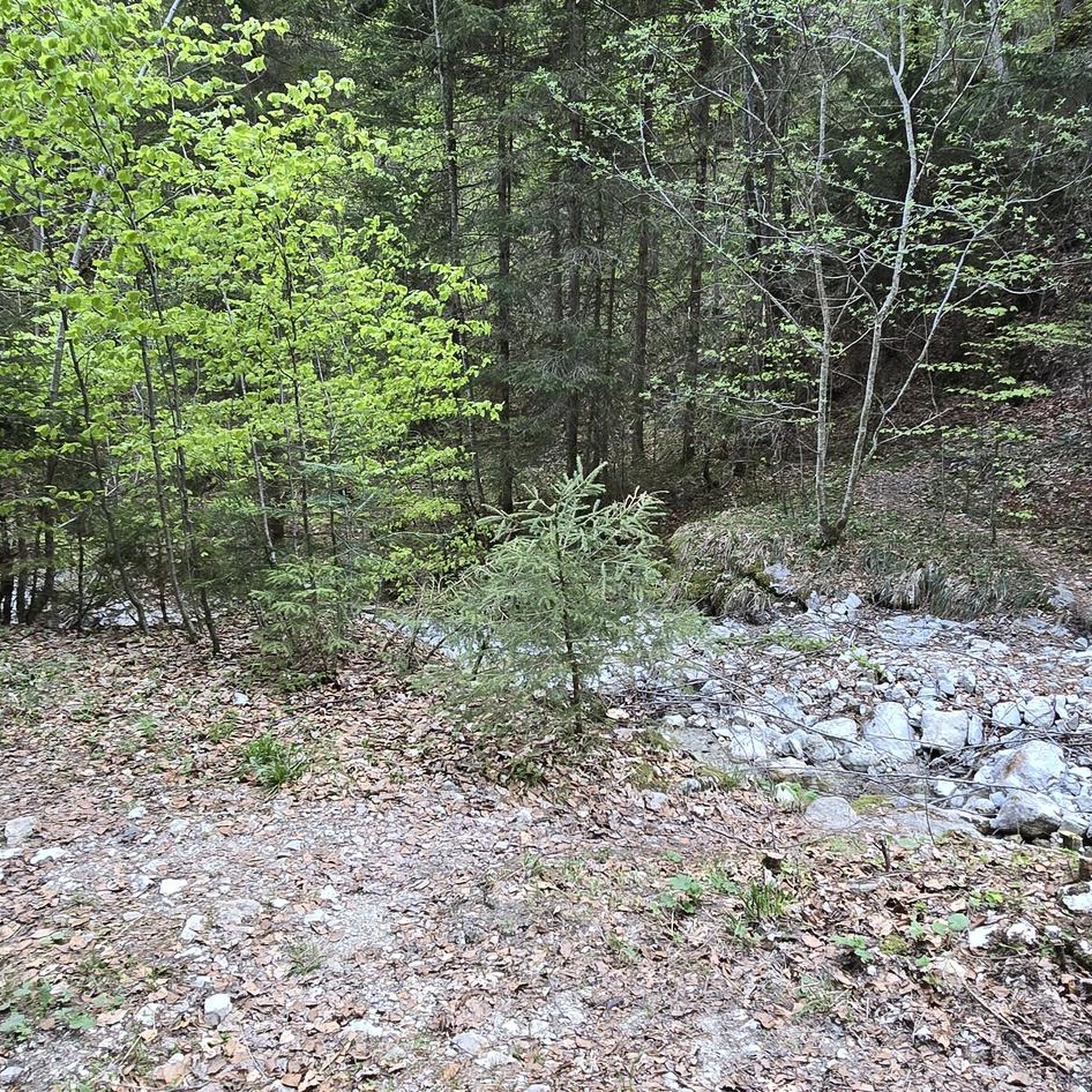
Gravel biking around Hilgenroth
Other adventures around Hilgenroth


Tips from the Community

There used to be infrastructure there; it would be nice if it were still there.
0
0

A busy Sieg crossing on the L333. Watch out for traffic. In the curve is the Hotel & Gasthof Schützenhof, with a lovely terrace and good, home-style food. At the corner opposite, take the dreamy Bitzer Straße (road bike path) and climb to Käsberg/Obenroth, bypassing the Eitorf town center and then into the Mühleiper Valley. Perfect asphalt. On the Scheel Sick (Halfter side), after 50 meters towards Herchen, there's a connection to the Siegradweg on the right. For those who like a more challenging ride, cross the paved road here and take a gentle climb up to Richardshohn. Or turn left to cross into the perfectly paved Ottersbacher Valley to the Bröltal. Or use the Scheel Sick to roll via Lützgenauel to Merten.
1
0
Stromberg's idyllic oak grove, several hundred years old, is a natural monument, canoe landing, swimming area, and a bridge with a view of the Swan's Nest. It was the scene of a skirmish between Napoleonic soldiers and local freedom fighters. Climbing the Sieghöhe hill, you'll reach the ring wall from the time of Franconian expansion. A paved cycle and pedestrian path runs through the center. Bells are provided for the often large number of visitors. Beautiful benches provide rest.
0
0
An idyllic Siegauen section of the Siegradweg between Hoppengarten and Dattenfeld, no bridge, no railway. It's a good alternative to the two long straight stretches of the L333 (the speed limit is often 70 km/h there 😁) before Dattenfeld. A bell on the bike for pedestrian information is a good idea.
0
0

Mainly motorcyclists on the road
0
0

the journey and departure alone is worth it, cute place
0
0


Nice cycle path without annoying traffic.
0
0
Frequently Asked Questions
How many road cycling routes are available around Hilgenroth?
Hilgenroth offers a wide selection of road cycling routes, with over 190 options to explore. These routes cater to various preferences, including 15 easy, 141 moderate, and 34 difficult trails.
What is the best time of year for road cycling in Hilgenroth?
The spring and summer months are ideal for road cycling in Hilgenroth. During this time, you can enjoy mild weather and the beauty of blooming nature, making for a pleasant cycling experience.
What is the typical terrain and elevation like for road cycling in this region?
Road cycling around Hilgenroth is characterized by its hilly terrain, offering both challenging climbs and scenic descents. You'll encounter elevated points like Beulskopf, which provides panoramic views, and routes that traverse forests and the picturesque Nister Valley. The region provides a good mix for various fitness levels.
What kind of road surfaces can I expect on the cycling routes?
Many road cycling routes in the Hilgenroth area feature a good percentage of paved surfaces, including asphalt, making them well-suited for road bikes. This ensures a smooth and enjoyable ride for cyclists.
Are there any notable landmarks or scenic viewpoints along the road cycling routes?
Yes, the region is rich in scenic points and landmarks. You can cycle past the historic Visitor Mine Grube Silberhardt, or explore the area around the Lourdes Grotto. The Raiffeisen Tower on Beulskopf offers extensive views of the Raiffeisenland, and on clear days, you might even spot Cologne Cathedral.
Are there any historical sites to explore while cycling?
Absolutely. The region around Hilgenroth is steeped in history. You can encounter the historic Windeck Castle Ruins, or cycle along ancient paths like the 'Königsweg' (King's Road), which has historical significance. Some routes also pass through the Koberstein Area, which shows indications of a medieval mounded castle.
What do other road cyclists enjoy most about cycling in Hilgenroth?
The komoot community highly rates road cycling in Hilgenroth, with an average score of 4.7 stars from over 330 reviews. Cyclists often praise the varied terrain, from leisurely rides through green meadows to challenging climbs, and the visually engaging experience offered by the forests and valleys.
Are there any circular road cycling routes available?
Yes, many of the road cycling routes around Hilgenroth are designed as loops. For instance, the Dattenfeld Weir on the Sieg – Stromberg Oak Grove loop from Obererbach is a popular moderate route, and the Church in Almersbach – Obererbach loop from Obererbach offers a scenic circuit through the countryside.
Where can I find places to eat or stay near the cycling routes?
For refreshments and accommodation, you'll find options like the Wilhelmsteg Café & Beer Garden, which is a great spot for a break. The Waldhotel Unser Haus der Begegnung Marienthal also offers accommodation and is located near some routes.
Are there family-friendly road cycling routes in Hilgenroth?
While road cycling generally involves paved roads and can have varying traffic, some routes might be more suitable for families depending on their experience. The region's diverse offerings include easier routes, so it's best to check individual route details for suitability and traffic conditions.
Is public transport available to access the cycling routes?
Information on specific public transport connections directly to route starting points can vary. It's advisable to research local bus or train services in the Hilgenroth area to plan your access to the routes, especially if you're not arriving by car.
Where can I park my car when starting a road cycling route?
Many routes originate from towns or villages like Obererbach, where public parking options are typically available. For specific routes, checking the komoot tour details will often provide information on recommended starting points and potential parking facilities.
Most popular attractions around Hilgenroth

Get inspired with the komoot mobile app


Explore more
Browse the best Road cycling routes in other regions.
