The best walks and hikes in Kurefjorden Naturreservat
4.6
(37)
260
hikers
21
hikes
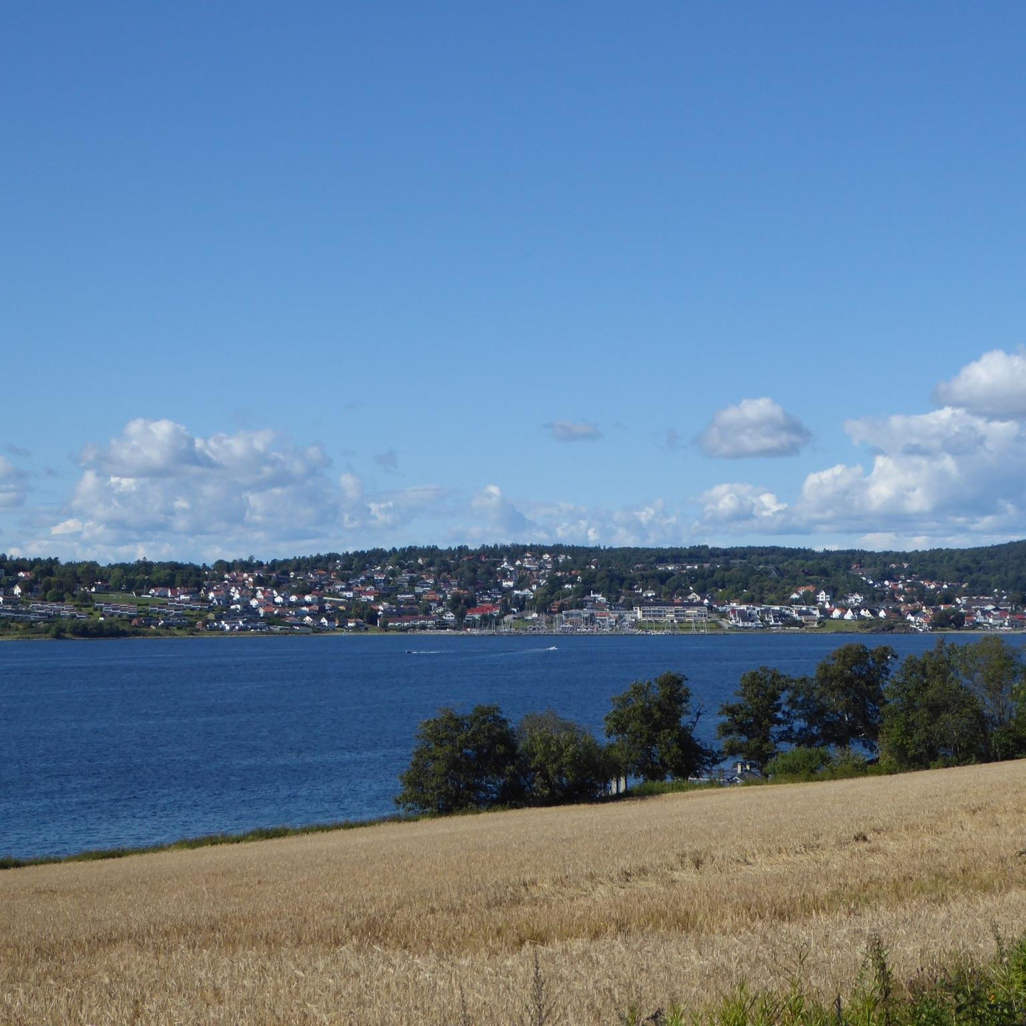
Hiking in Kurefjorden Naturreservat offers diverse terrain within a shallow fjord system, recognized as a Ramsar site. The area features extensive mudflats exposed at low tide, crucial for birdlife, alongside coastal wetlands and salt marshes. The landscape also includes bedrock knolls and cultivated fields, providing varied scenery. The highest point within the reserve reaches 8 meters above sea level.
Best hiking trails in Kurefjorden Naturreservat
- The most popular hiking route is Ellingstranda loop from Spetalen, a 5.3 miles (8.5 km) trail that takes 2 hours 13 minutes to complete. This moderate route offers views of the shallow fjord and surrounding coastal areas.
- Another top favourite among local hikers is Engholmstranda loop from Steinene biotopvernområde, an easy 2.5 miles (4.1 km) path. This trail leads through coastal wetlands, providing opportunities for birdwatching.
- Local hikers also love the Beautiful Bay – View of the Fjord loop from Nasle, a 3.8 miles (6.1 km) trail leading through varied coastal landscapes, often completed in about 1 hour 35 minutes.
- Hiking in Kurefjorden Naturreservat is defined by shallow fjord views, coastal wetlands, and bedrock knolls. The network offers options for both easy and moderate ability levels.
- The routes in Kurefjorden Naturreservat are highly rated by the komoot community with an average score of 4.6 stars from more than 30 reviews. More than 250 hikers have used komoot to explore Kurefjorden Naturreservat's varied terrain.
Last updated: July 12, 2026
3
hikers
8.53km
02:13
60m
60m
Moderate hike. Good fitness required. Easily-accessible paths. Suitable for all skill levels.
2
hikers
6.33km
01:40
50m
50m
Moderate hike. Great for any fitness level. Mostly accessible paths. Sure-footedness required.

Sign up for free
4.5
(2)
23
hikers
Easy hike. Great for any fitness level. Easily-accessible paths. Suitable for all skill levels.
16
hikers
9.70km
02:31
60m
60m
Moderate hike. Good fitness required. Easily-accessible paths. Suitable for all skill levels.
5.0
(3)
3
hikers
Moderate hike. Good fitness required. Easily-accessible paths. Suitable for all skill levels.
Get access to more routes and recommendations from other explorers.
Sign up for free
Already have an account?
Our route recommendations are based on thousands of hikes, rides, and runs completed by other people on komoot.
Start today with a free account
Your next adventure awaits.
Login or Signup


Tips from the Community

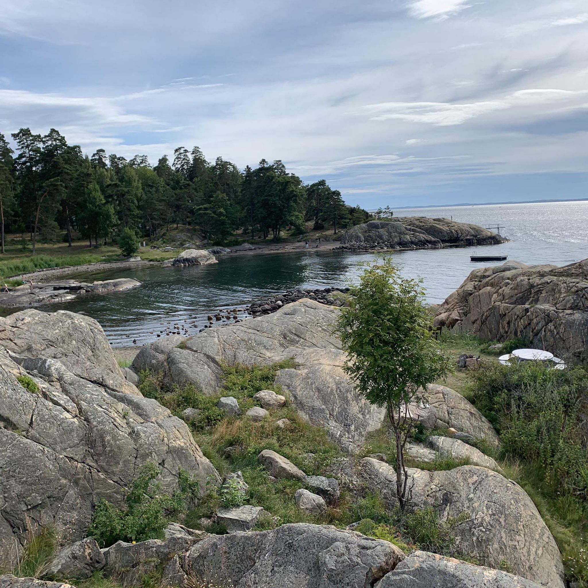
At low tide, a natural path becomes visible through the sea, leading you across to the island where a forested track runs all the way to the far end. This woodland trail is perfect for exploring, guiding you through the trees to discover a series of beaches along the way.
0
0
This lovely beach is a perfect resting place along the trail where you can stop off and go for a refreshing swim. Surrounded by scenic views, it is an ideal spot to take a break, relax on the sand, and enjoy the Kråkstadfjorden Nature Reserve.
0
0
Located in Råde, the Kråkstadfjorden Nature Reserve protects a vital shallow-water mudflat and wetland ecosystem. It is a highly significant feeding and nesting ground for coastal birds, serving as a sanctuary for dozens of migratory aquatic birds and wading species.
0
0
Frequently Asked Questions
What kind of terrain can I expect when hiking in Kurefjorden Naturreservat?
Kurefjorden Naturreservat features a diverse landscape, primarily characterized by a shallow fjord with extensive mudflats exposed at low tide. You'll also find coastal wetlands, salt marshes, bedrock knolls, and cultivated fields. The trails are generally easy to moderate, with the highest point in the reserve reaching only 8 meters above sea level.
Are there any family-friendly hiking routes in Kurefjorden Naturreservat?
Yes, Kurefjorden Naturreservat offers several easy hikes suitable for families. An excellent option is the Engholmstranda loop from Steinene biotopvernområde, an easy 4.1 km path that leads through coastal wetlands and is great for birdwatching. Many trails are well-marked and have minimal elevation gain, making them accessible for all ages.
Can I bring my dog on the hiking trails in Kurefjorden Naturreservat?
Generally, dogs are permitted on trails in Kurefjorden Naturreservat, but it's crucial to keep them on a leash, especially due to the area's significance as a bird sanctuary. This helps protect the diverse birdlife, particularly during nesting and migration seasons. Always check local signage for specific restrictions.
What is the best time of year to hike in Kurefjorden Naturreservat?
Kurefjorden Naturreservat is accessible year-round, with each season offering a unique experience. Spring and autumn are particularly rewarding for birdwatching, as the fjord is a vital resting area for migratory birds. Summer provides pleasant conditions for walks, while winter offers a tranquil, often snow-dusted landscape. The exposed mudflats are most visible at low tide, regardless of the season.
Are there opportunities for birdwatching during a hike?
Absolutely. Kurefjorden Naturreservat is considered the best location in Østfold for observing wetland birds, with approximately 250 different species recorded. It's a vital resting area for ducks and waders during spring and autumn migrations. For an enhanced experience, there's a bird observation tower on the northwestern side of the reserve, near the Kureskjæret outdoor recreation area.
Are there any circular hiking routes in the reserve?
Yes, many of the trails in Kurefjorden Naturreservat are designed as circular routes, allowing you to start and end at the same point. Examples include the popular Ellingstranda loop from Spetalen, which is 8.5 km, and the Beautiful Bay – View of the Fjord loop from Nasle, a 6.1 km trail.
What are the typical hiking difficulties in Kurefjorden Naturreservat?
The hiking trails in Kurefjorden Naturreservat are predominantly easy to moderate. There are no difficult routes, making the area suitable for a wide range of fitness levels. The terrain is generally flat with minimal elevation changes, ensuring an enjoyable experience for casual walkers and hikers alike.
What do other hikers enjoy most about Kurefjorden Naturreservat?
The area is highly rated by the komoot community, with an average score of 4.6 stars from over 30 reviews. Hikers often praise the tranquil ambiance, the unique coastal landscapes, and the exceptional birdwatching opportunities. The well-marked and accessible trails also contribute to a positive experience.
Are there any specific natural features or landmarks to look out for?
The most prominent natural features are the vast, shallow fjord and its extensive mudflats, which are crucial for birdlife and offer unique views at low tide. You'll also encounter coastal wetlands, salt marshes, and small bedrock knolls. The bird observation tower near Kureskjæret is a notable man-made landmark for wildlife viewing.
How many hiking trails are there in Kurefjorden Naturreservat?
There are over 20 hiking trails in Kurefjorden Naturreservat, offering a range of experiences from easy walks to moderate hikes. This variety ensures options for different preferences and fitness levels.
Is there public transport available to reach the hiking trails?
While specific public transport routes directly to all trailheads might be limited, it's advisable to check local bus schedules for services to nearby towns like Moss or Råde. From there, you might need to arrange for a short taxi ride or consider cycling to reach the reserve's access points.
Where can I find parking for the hiking trails?
Parking is typically available at various access points around Kurefjorden Naturreservat. Popular starting points for trails, such as those near Spetalen or Steinene biotopvernområde, usually have designated parking areas. It's recommended to check specific trailhead information for the most convenient parking options.
Most popular routes in Kurefjorden Naturreservat

Get inspired with the komoot mobile app


Explore more
Browse the best Hikes in other regions.
