The best MTB trails in Auesøya Landskapsvernområde
4.5
(2)
14
riders
3
rides
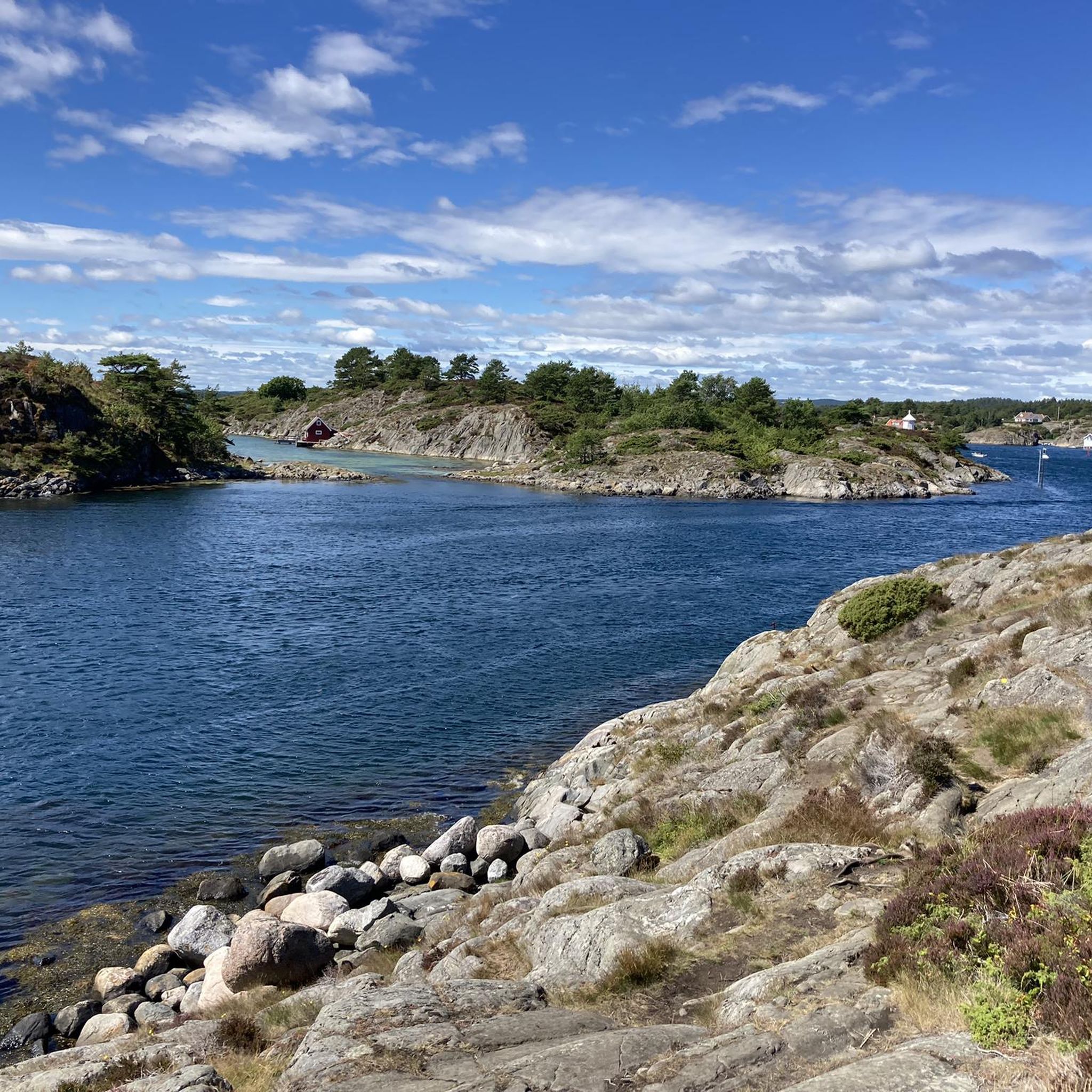
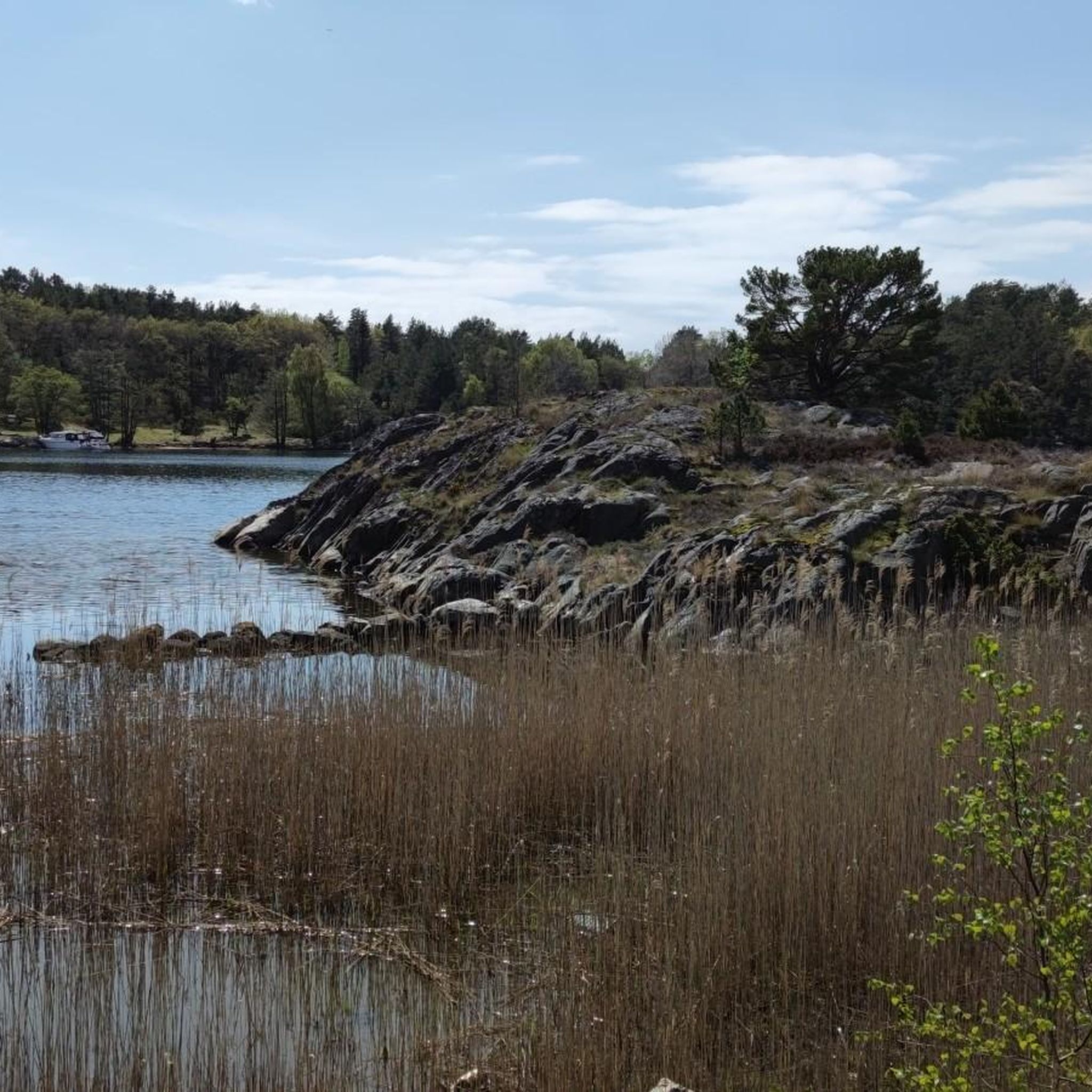
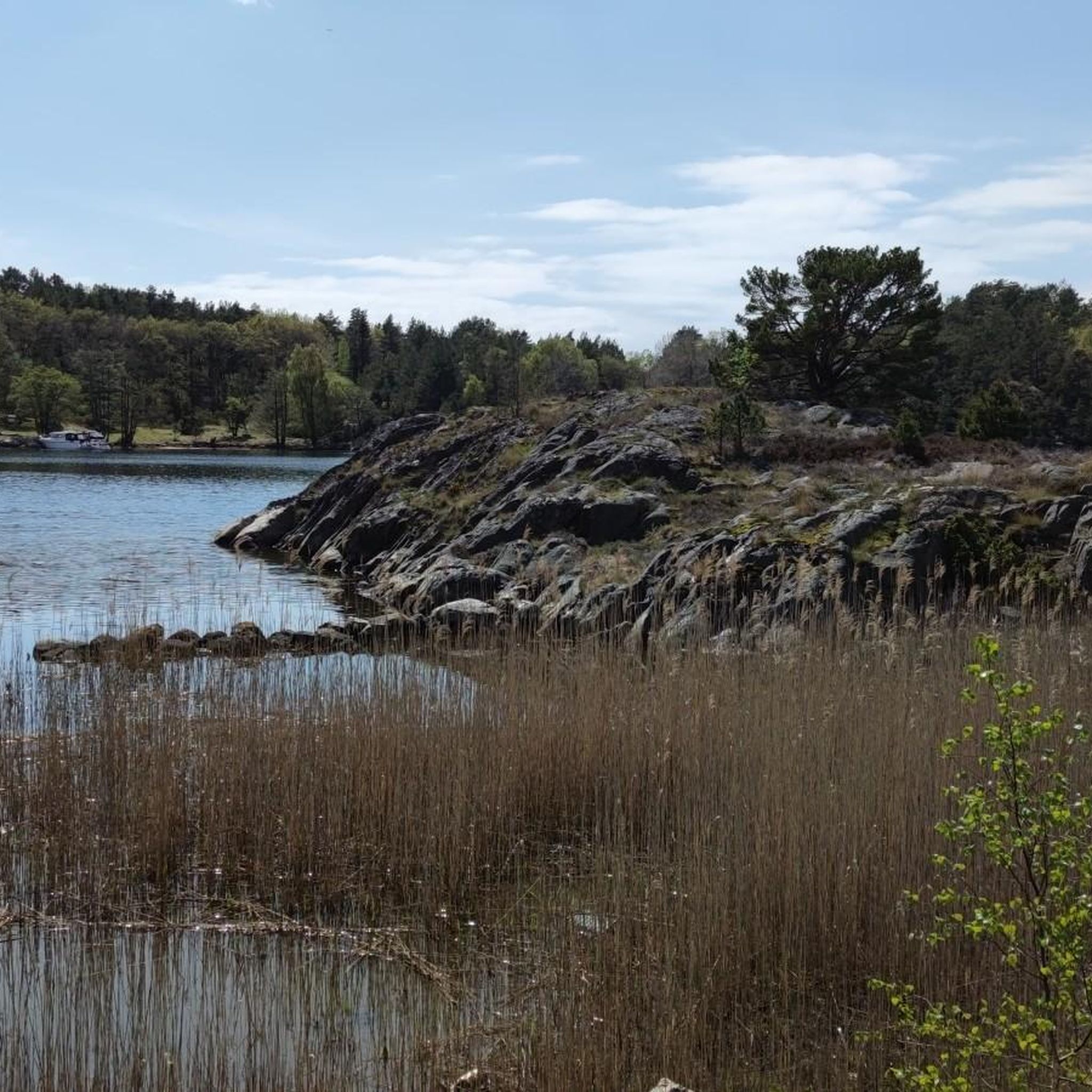
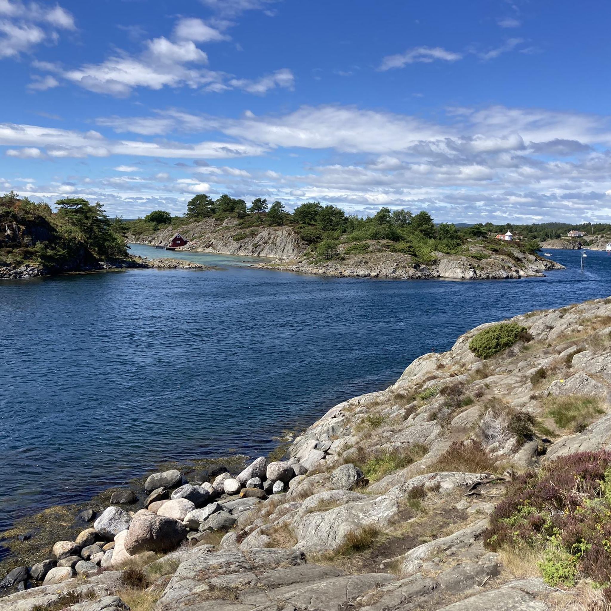
Mountain biking in Auesøya Landskapsvernområde offers routes through a protected coastal landscape characterized by rugged and uneven terrain. The island features diverse flora, including oak and pine forests, alongside dry barren hills. Existing cultural trails provide pathways for exploration, though specific mountain biking infrastructure is not explicitly developed.
Best mountain bike trails in Auesøya Landskapsvernområde
- The most popular mountain bike trail is Salmon Ladder at Nidelva River – Picnic Spot by the Lake loop from Eide kirke, a 42.7…
Last updated: June 25, 2026
2
riders
Moderate mountain bike ride. Good fitness required. Advanced riding skills necessary.
4.5
(2)
8
riders
22.8km
01:27
280m
280m
Moderate mountain bike ride. Great for any fitness level. Advanced riding skills necessary.

Sign up for free
4
riders
44.3km
03:09
520m
530m
Moderate mountain bike ride. Good fitness required. Advanced riding skills necessary.
Our route recommendations are based on thousands of hikes, rides, and runs completed by other people on komoot.
Start today with a free account
Your next adventure awaits.
Login or Signup
Tips from the Community

The summer ferry M/S Øya between Lillesand and Kristiansand stops here, so there is a possibility to include one leg as a boat trip to experience the Blindleia from the water side.
0
0

The atmospheric Risvannet, this mirror lake would go perfectly with a Boards of Canada track.
0
0

This is a picturesque town on the south Norway coast. A great place to stop for refreshments around the pretty little harbour.
0
0


Undoubtedly a good place to look around when there is little traffic. Otherwise, I recommend going off the road a bit or going to Lillesand.
0
0

This locomotive used to be used to pull the filled wood to the ports.
0
0

Frequently Asked Questions
What is Auesøya Landskapsvernområde?
Auesøya Landskapsvernområde is a protected landscape area located on the border between Lillesand and Grimstad municipalities in Southern Norway. It's known for preserving a quintessential Southern Norwegian island with its distinctive natural and cultural landscape, diverse plant and animal life, and rugged coastal terrain.
Is mountain biking permitted in Auesøya Landskapsvernområde?
Yes, mountain biking is permitted, utilizing existing paths and cultural trails within the protected landscape. However, the area is primarily designated for conservation, so specific, dedicated mountain biking infrastructure is not explicitly developed. E-bikes are prohibited in this landscape protected area.
How do I access Auesøya Landskapsvernområde, and where can I park?
Access to Auesøya is exclusively by boat. There is no direct road access or parking on the island itself. Visitors typically arrange boat transport from nearby mainland points in Lillesand or Grimstad. Parking would be available at these mainland departure points.
What are the typical trail conditions and difficulty levels for mountain biking here?
The terrain is characterized as 'rugged and uneven' (ulendt terreng), offering natural, unpaved paths. The routes listed, such as Salmon Ladder at Nidelva River – Picnic Spot by the Lake loop from Eide kirke, are generally rated as moderate in difficulty. This means you can expect varied surfaces and some challenging sections suitable for intermediate riders.
What kind of scenery can I expect to see while mountain biking?
You'll experience a diverse coastal landscape. The island features oak and sparse pine forests, dry barren hills, and a rich variety of plant life. You can also find beautiful beaches and coves, such as Sokken with its fine sandy beaches, and idyllic plains in the western part of Brudebenken. Cultural trails offer glimpses into the island's history.
Are there any long-distance mountain bike routes that explore the wider region?
Yes, some routes extend beyond the immediate island, exploring the surrounding areas. For example, the Salmon Ladder at Nidelva River – Picnic Spot by the Lake loop from Eide kirke is a 68.7 km (42.7 miles) trail that takes about 4 hours 24 minutes to complete, exploring the wider region surrounding the protected area.
Can I bring my dog on the mountain bike trails?
While the region is generally dog-friendly, specific rules for dogs within Auesøya Landskapsvernområde should be observed due to its protected status. It's always best to keep dogs on a leash to protect wildlife and show consideration for other trail users, especially during nesting seasons.
Is Auesøya Landskapsvernområde suitable for family mountain biking?
The 'rugged and uneven terrain' makes it unsuitable for strollers or wheelchairs, and some mountain bike routes are rated moderate. While families with older, experienced children might enjoy the challenge, it may not be ideal for very young children or beginners looking for smooth, easy paths. The beaches and cultural trails offer other family-friendly activities.
What is the best time of year to go mountain biking in Auesøya Landskapsvernområde?
The best time to visit for mountain biking is typically during the warmer months, from late spring to early autumn (May to September). During this period, the weather is more stable, and the trails are generally drier. The diverse flora is also at its most vibrant during these months.
What do other mountain bikers enjoy most about mountain biking in this area?
The area is highly rated by the komoot community, with an average score of 4.5 stars. Reviewers often praise the unique experience of riding through a protected coastal landscape, the diverse natural scenery, and the challenge of the rugged, natural trails. The sense of exploration on existing cultural paths is also a highlight.
Are there any circular mountain bike routes available?
Yes, there are several circular routes that allow you to start and end at the same point. An example is the Brekkestø Harbor loop from Lillesand kirke, a moderate 22.8 km (14.2 miles) path that offers views of coastal areas and harbors near the conservation area.
Are there facilities like cafes or accommodation near the mountain bike trails?
Auesøya itself is a protected area with limited facilities. However, the nearby towns of Lillesand and Grimstad offer various amenities, including cafes, restaurants, and accommodation options. You would need to access these towns by boat from the island.
What is the longest mountain bike route available in the area?
The longest route listed is the Salmon Ladder at Nidelva River – Picnic Spot by the Lake loop from Eide kirke, which covers 68.7 km (42.7 miles) and typically takes around 4 hours and 24 minutes to complete.
Most popular routes in Auesøya Landskapsvernområde

Get inspired with the komoot mobile app


Explore more
Browse the best MTB trails in other regions.
