The best road cycling routes in Jærstrendene Landskapsvernområde
4.6
(36)
3,221
riders
127
rides
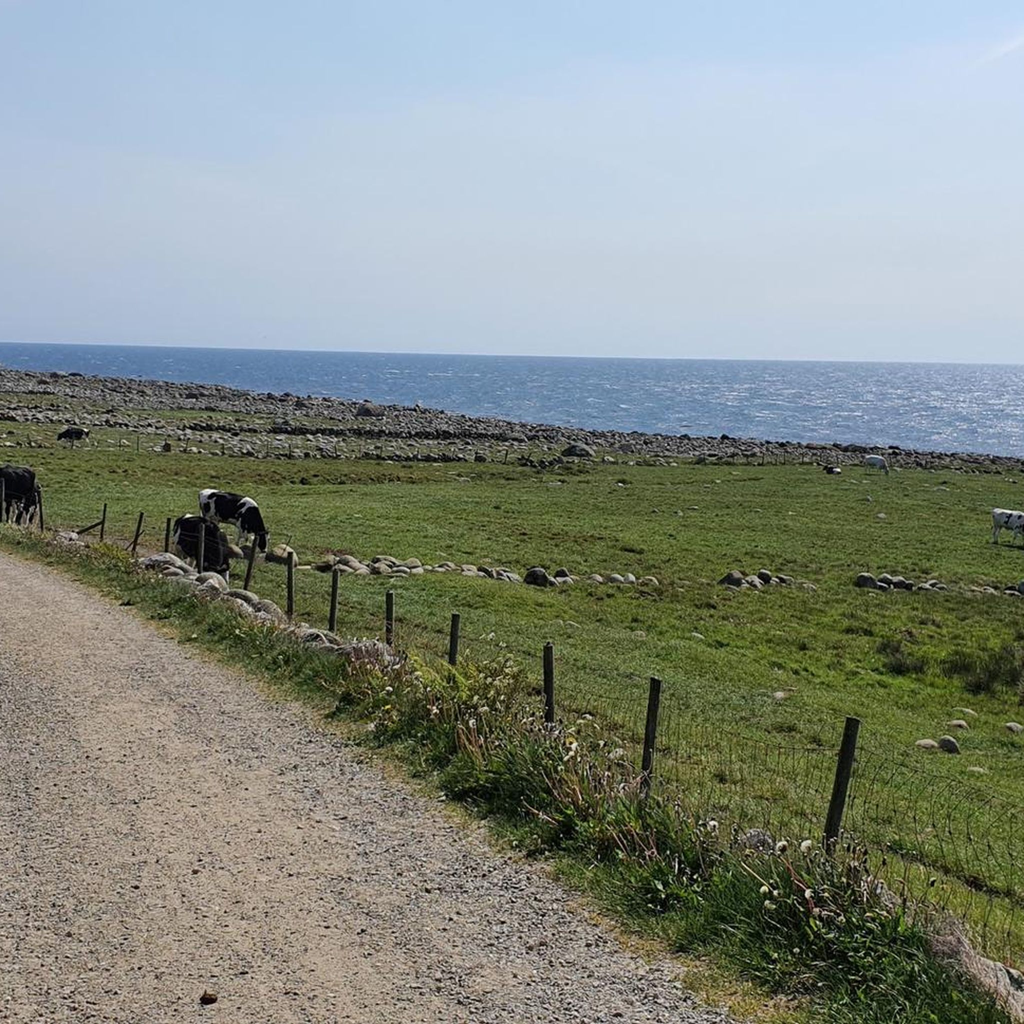
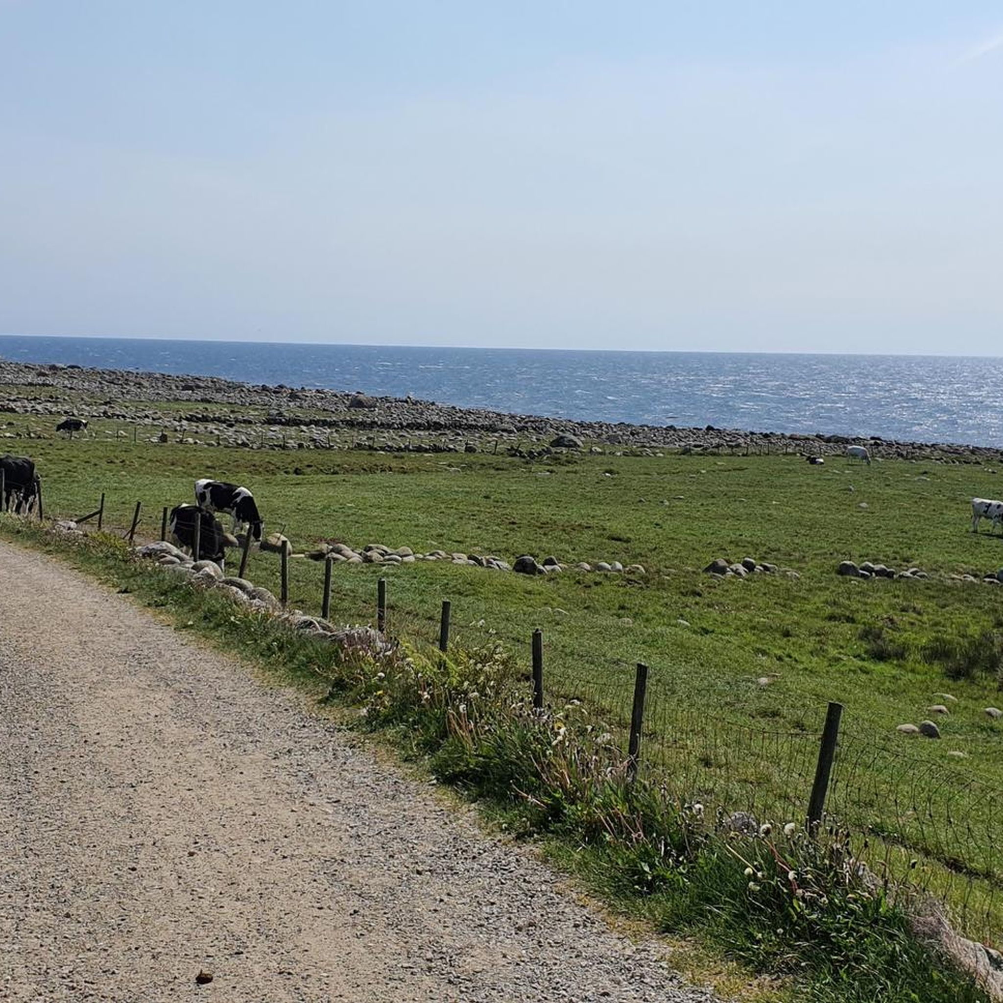
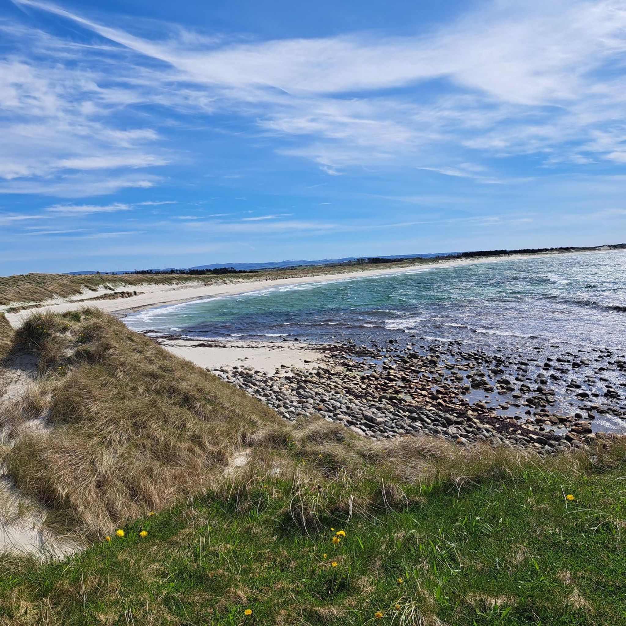
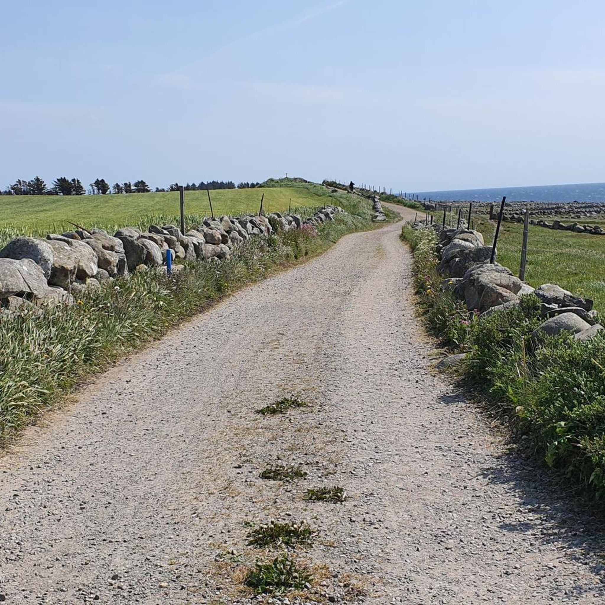
Road cycling in Jærstrendene Landskapsvernområde is characterized by its expansive, generally flat coastal terrain, offering extensive routes along the North Sea. The landscape features long sandy beaches, open coastal plains, and significant sand dunes, providing a unique backdrop for cycling. While much of the area is low-lying, some routes include gentle ascents, with hills under 200 meters. Cyclists can explore a blend of natural features and cultural landmarks, including historic lighthouses and agricultural areas.
Best road cycling routes in Jærstrendene Landskapsvernområde
- The most popular road cycling route is Smaken av Landet AS – Beaches near Brusand loop from Brusand, a 37.4 miles (60.2 km) trail that takes 2 hours 39 minutes to complete. This route explores the coastal areas and beaches near Brusand.
- Another top favourite among local road cyclists is Solastranden Beach loop from Ølberg (B), a moderate 20.7 miles (33.3 km) path. This route offers views of Solastranden Beach and the surrounding coastal landscape.
- Local road cyclists also love the Kverneland Agri Park – Bryne street art loop from Nærlandsparken, a 29.7 miles (47.9 km) trail leading through agricultural areas and past cultural points, often completed in about 2 hours 6 minutes.
- Road cycling in Jærstrendene Landskapsvernområde is defined by long sandy beaches, open coastal plains, and historic lighthouses. The network offers options for various ability levels, from easy coastal spins to moderate routes through farmland.
- The routes in Jærstrendene Landskapsvernområde are highly rated by the komoot community with an average score of 4.7 stars from more than 20 reviews. More than 2,900 road cyclists have used komoot to explore Jærstrendene Landskapsvernområde's varied terrain.
Last updated: September 4, 2026
12
riders
61.3km
02:42
550m
550m
Moderate road ride. Good fitness required. Mostly well-paved surfaces and easy to ride.
13
riders
33.7km
01:38
190m
190m
Moderate road ride. Great for any fitness level. Some segments of this route may be unpaved and difficult to ride.

Sign up for free
10
riders
Moderate road ride. Good fitness required. Some segments of this route may be unpaved and difficult to ride.
8
riders
14.7km
00:39
60m
60m
Easy road ride. Great for any fitness level. Mostly well-paved surfaces and easy to ride.
5.0
(1)
8
riders
65.2km
02:48
560m
560m
Moderate road ride. Good fitness required. Mostly well-paved surfaces and easy to ride.
Get access to more routes and recommendations from other explorers.
Sign up for free
Already have an account?
Our route recommendations are based on thousands of hikes, rides, and runs completed by other people on komoot.
Start today with a free account
Your next adventure awaits.
Login or Signup
Popular around Jærstrendene Landskapsvernområde
Tips from the Community

Ålgård is the largest town and administrative centre of Gjesdal municipality. Historically known for its wool and textile industry driven by the Figgjo River, it has evolved into a modern center that was once awarded Norway's prestigious National Prize for Architecture. Today, Ålgård is perhaps best known as the home of Kongeparken, the largest amusement park in Western Norway.
0
0
Here you will find a bench overlooking the river, ideal for a rest stop. At the edge of the terrace, you can see the fast-flowing waters of the Figgjo River, while all around, the trees are painted in the typical colors of the season; the paved path is comfortable for walking.
0
0

Sverd i fjell 1983 to commemorate the Battle at Hafrsfjord, which took place around the year 872 AD. The monument was designed by the sculptor Fritz Røed. It is modelled on three Viking swords ds found tour at different local ocations in Norway. The swords have been placed in the bedrock.
0
0

Beautiful sandy beach. Free parking. Showers and restrooms available.
0
0

Here at Hafrsfjord is the royal monument Sverd i fjell (Swords in the Rock). History tells that Harald Fairhair united Norway into a kingdom here in 872. If the tradition is correct, Harald I received the nickname Fairhair because he only had his hair and beard cut again after defeating the other rulers. The monument consists of three swords stuck in the ground, symbolizing peace, unity, and freedom. The hilts of the Viking swords are modeled after sword finds from various parts of Norway. The monument was designed by Fritz Røed (1928-2002) and inaugurated by King Olav in 1983. (Height of the middle sword = 9.2 m) Source: www.visitnorway.de Anyone interested in the history of Harald I is highly recommended to visit Avaldsnes.
0
0

What a wonderful church! Unfortunately, it was closed, but a visit here is a must!
0
0
Beautiful shallow water can be found here… perfect for families with small children.
0
0
Frequently Asked Questions
How many road cycling routes are available in Jærstrendene Landskapsvernområde?
There are over 140 road cycling routes available in Jærstrendene Landskapsvernområde, offering a wide range of options for different skill levels and preferences. The komoot community has explored these routes over 2,900 times.
What is the typical terrain like for road cycling in Jærstrendene?
The terrain in Jærstrendene Landskapsvernområde is predominantly flat and coastal, characterized by long sandy beaches, open plains, and significant sand dunes. While generally low-lying, some routes feature gentle ascents, with hills typically under 200 meters. Cyclists should be prepared for potentially strong winds, especially near the North Sea.
What natural features and landmarks can I expect to see while cycling in Jærstrendene?
While cycling, you'll encounter the region's famous 70 kilometers of continuous sandy beaches, such as Sola Beach and Solastranden Beach. The landscape also features extensive sand dunes and several historic lighthouses like Obrestad and Kvassheim. You might also pass by unique natural areas like the Gravel Path by the Sea, Varhaug.
Are there any historical or cultural sites along the cycling routes?
Yes, the region is rich in cultural and historical sites. You can visit Hå Old Vicarage (Hå Gamle Prestegard), which is an important art and culture center, or the dramatically situated Varhaug Old Cemetery by the ocean. Near Brusand, you can also see the remnants known as "Hitler's Teeth" from World War II.
Are there family-friendly road cycling routes in Jærstrendene?
Absolutely. The generally flat terrain and dedicated cycle paths, such as sections of the Jærruta, make many routes suitable for families. These paths ensure safety and accessibility, allowing for enjoyable rides for all skill levels.
What are the difficulty levels of road cycling routes in Jærstrendene?
Jærstrendene offers routes for various abilities. Approximately 44 routes are considered easy, 79 are moderate, and 19 are more difficult. This means you can find everything from relaxed coastal spins to more challenging rides with gentle ascents.
What is the best time of year for road cycling in Jærstrendene?
The open landscapes of Jærstrendene are enjoyable throughout much of the year, but the best time for road cycling is typically during the warmer, drier months. Be mindful of strong winds, especially near the North Sea, which can occur in any season.
Are there options for long-distance road cycling in Jærstrendene?
Yes, the region is excellent for long-distance cycling. Routes like the 140-kilometer Jærruta and the 130-kilometer Norwegian Scenic Route Jæren offer extensive rides. Additionally, National Bike Route 1 (the coastal route), part of the EuroVelo 12, runs along the outskirts of the scenic route, providing less traffic for longer journeys.
Where can I find parking for road biking in Jærstrendene?
Many popular starting points for cycling routes, especially near beaches and towns, offer parking facilities. For example, routes like Smaken av Landet AS – Beaches near Brusand loop from Brusand often have parking available at or near the starting location in Brusand.
What public transport options are available for reaching cycling starting points?
Public transport options, including local buses and trains, connect various towns and areas within Jærstrendene, making it possible to reach different starting points for your cycling adventures. For instance, routes like Solastranden Beach loop from Stavanger Airport, Sola are accessible from key transport hubs.
Are there places to eat or stay along the road cycling routes?
Yes, the region offers various options for refreshments and accommodation. Along routes like the Jærruta, you'll find local farms offering fresh produce, and there are cafes, restaurants, and accommodation options in the towns and villages scattered throughout the area, especially along the Norwegian Scenic Route Jæren.
What do other road cyclists appreciate most about Jærstrendene Landskapsvernområde?
The area is highly rated by the komoot community, with an average score of 4.7 stars from more than 20 reviews. Reviewers often praise the expansive, generally flat coastal terrain, the unique blend of natural features like long sandy beaches, and the well-maintained routes that offer a mix of natural beauty and cultural points.
Can I find circular road cycling routes in Jærstrendene?
Yes, many of the road cycling routes in Jærstrendene Landskapsvernområde are designed as loops, allowing you to start and end your ride in the same location. Examples include Solastranden Beach loop from Ølberg (B) and Kverneland Agri Park – Bryne street art loop from Nærlandsparken.
Most popular routes in Jærstrendene Landskapsvernområde
Most popular attractions in Jærstrendene Landskapsvernområde

Get inspired with the komoot mobile app


Explore more
Browse the best Road cycling routes in other regions.
