The best road cycling routes in Kjørholmane Naturreservat
5.0
(1)
155
riders
16
rides
Road cycling routes in Kjørholmane Naturreservat are primarily found in the surrounding Jærstrendene Landscape Area, which offers a unique coastal environment. This region is characterized by its generally flat topography, making it accessible for various cycling abilities, though cyclists should be prepared for potentially windy conditions. The landscape features long-stretched beaches, views of the North Sea, and extensive networks of roads that traverse Norway's farmland. While Kjørholmane Naturreservat itself is a restricted seabird and seal reserve, the broader area provides a blend of natural coastal beauty and cultural attractions for road cyclists.
Best road cycling routes in Kjørholmane Naturreservat
- The most popular road cycling route is Solastranden Beach loop from Ølberg (B), a 20.7 miles (33.3 km) trail that takes 1 hour 35 minutes to complete. This moderate route features coastal views and passes near the Solastranden beach.
- Another top favourite among local road cyclists is Mosvatnet Lake Trail loop from Storamyr naturreservat, a moderate 16.8 miles (27.0 km) path. This route offers views of Mosvatnet Lake and the surrounding area.
- Local road cyclists also love the Sandnes Harbor – View of Jøsenfjorden loop from Storamyr naturreservat, an 85.2 miles (137.1 km) trail leading through varied terrain, often completed in about 6 hours 16 minutes.
- Road cycling in Kjørholmane Naturreservat is defined by flat coastal paths, farmland roads, and views of the North Sea. The network offers options for different ability levels, from moderate loops to more challenging long-distance routes.
- The guide includes highly-rated routes that showcase the best of the region's landscape. More than 160 road cyclists have used komoot to explore Kjørholmane Naturreservat's varied terrain.
Last updated: July 5, 2026
13
riders
33.7km
01:38
190m
190m
Moderate road ride. Great for any fitness level. Some segments of this route may be unpaved and difficult to ride.
43
riders
27.1km
01:11
220m
220m
Easy road ride. Great for any fitness level. Mostly well-paved surfaces and easy to ride.

Sign up for free
5.0
(1)
6
riders
65.1km
02:47
550m
560m
Moderate road ride. Good fitness required. Mostly well-paved surfaces and easy to ride.
5
riders
35.7km
01:34
250m
250m
Moderate road ride. Great for any fitness level. Some segments of this route may be unpaved and difficult to ride.
4
riders
97.3km
04:08
680m
680m
Moderate road ride. Good fitness required. Mostly well-paved surfaces and easy to ride.
Get access to more routes and recommendations from other explorers.
Sign up for free
Already have an account?
Our route recommendations are based on thousands of hikes, rides, and runs completed by other people on komoot.
Start today with a free account
Your next adventure awaits.
Login or Signup
Popular around Kjørholmane Naturreservat
Tips from the Community

The trail around Mosvatnet is a popular 3-kilometer loop located just outside Stavanger city center. This flat, gravel path is perfect for an easy walk, a morning run, or a relaxed bike ride. Known locally as "Mosikken," the area is famous for its rich birdlife. You can easily extend your trip into the nearby Vålandsskogen forest or stop by the Stavanger Art Museum along the way.
0
0

Ålgård is the largest town and administrative centre of Gjesdal municipality. Historically known for its wool and textile industry driven by the Figgjo River, it has evolved into a modern center that was once awarded Norway's prestigious National Prize for Architecture. Today, Ålgård is perhaps best known as the home of Kongeparken, the largest amusement park in Western Norway.
0
0
Here you will find a bench overlooking the river, ideal for a rest stop. At the edge of the terrace, you can see the fast-flowing waters of the Figgjo River, while all around, the trees are painted in the typical colors of the season; the paved path is comfortable for walking.
0
0

Sverd i fjell 1983 to commemorate the Battle at Hafrsfjord, which took place around the year 872 AD. The monument was designed by the sculptor Fritz Røed. It is modelled on three Viking swords ds found tour at different local ocations in Norway. The swords have been placed in the bedrock.
0
0

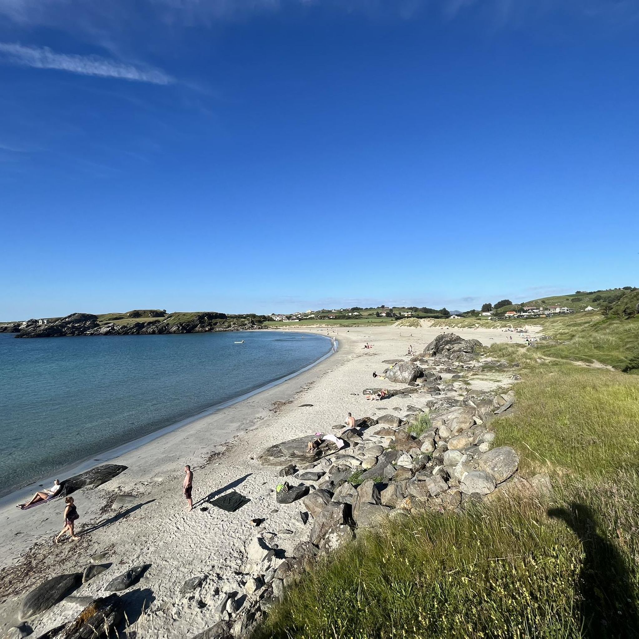
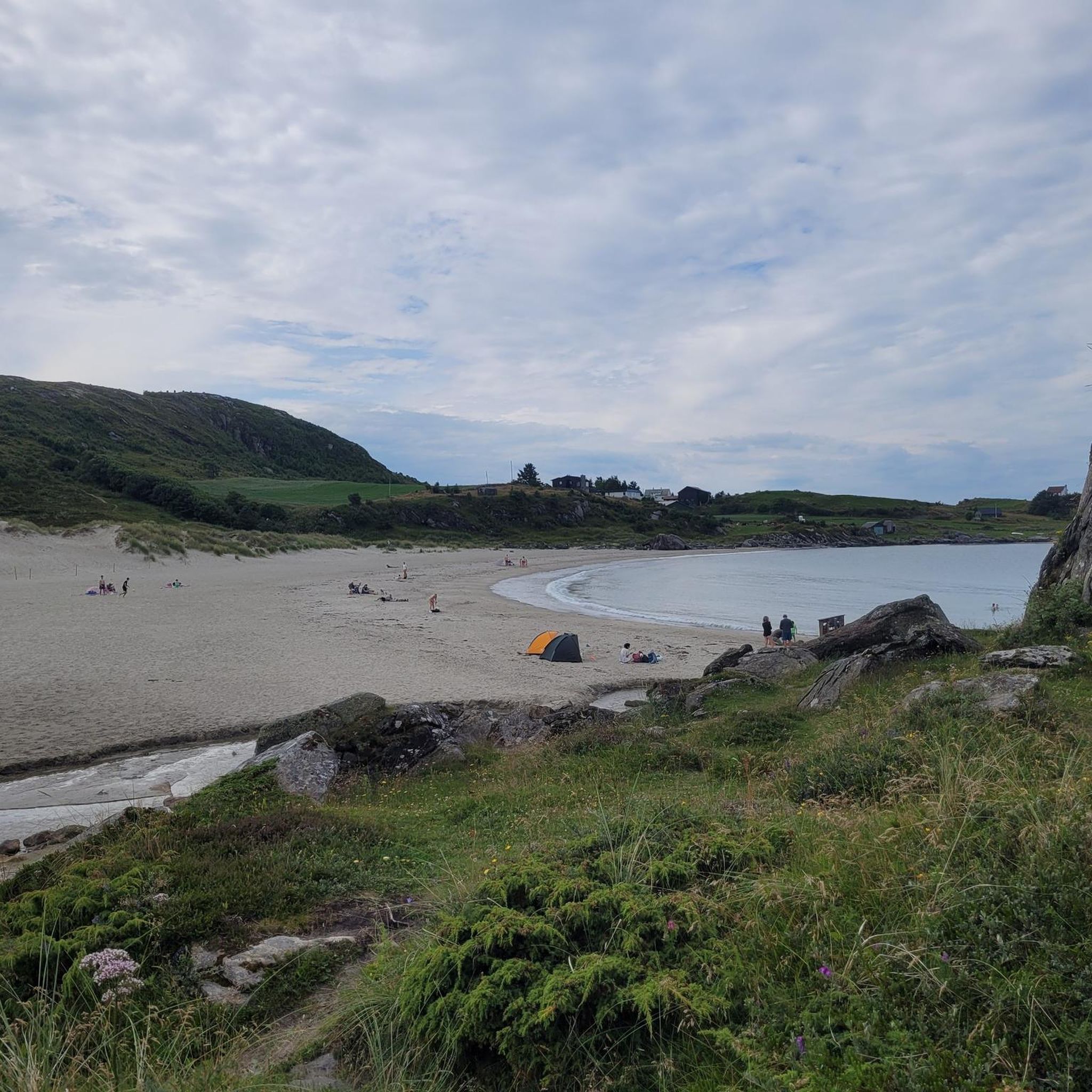
Beautiful sandy beach. Free parking. Showers and restrooms available.
0
0

Here at Hafrsfjord is the royal monument Sverd i fjell (Swords in the Rock). History tells that Harald Fairhair united Norway into a kingdom here in 872. If the tradition is correct, Harald I received the nickname Fairhair because he only had his hair and beard cut again after defeating the other rulers. The monument consists of three swords stuck in the ground, symbolizing peace, unity, and freedom. The hilts of the Viking swords are modeled after sword finds from various parts of Norway. The monument was designed by Fritz Røed (1928-2002) and inaugurated by King Olav in 1983. (Height of the middle sword = 9.2 m) Source: www.visitnorway.de Anyone interested in the history of Harald I is highly recommended to visit Avaldsnes.
0
0

What a wonderful church! Unfortunately, it was closed, but a visit here is a must!
0
0
Beautiful shallow water can be found here… perfect for families with small children.
0
0
Frequently Asked Questions
How many road cycling routes are available in the Kjørholmane Naturreservat area?
While Kjørholmane Naturreservat itself is a protected area, the surrounding Jærstrendene Landscape Area offers a wide selection of road cycling routes. There are over 15 routes available, catering to various skill levels.
Are there easy or beginner-friendly road cycling routes in the Jærstrendene Landscape Area?
Yes, the Jærstrendene Landscape Area is known for its generally flat topography, making it accessible for beginners. There are 3 easy routes available. A good option for a moderate ride with coastal views is the Solastranden Beach loop from Ølberg (B), which is about 20.7 miles (33.3 km) long.
What kind of challenging road cycling routes can I find in the region?
For more experienced cyclists, there are 2 difficult routes available. These routes typically cover longer distances and include more elevation gain. An example is the Sandnes Harbor – View of Jøsenfjorden loop from Storamyr naturreservat, which is an extensive 85.2 miles (137.1 km) ride.
What is the typical duration for road cycling routes in the Kjørholmane Naturreservat area?
Route durations vary significantly. Shorter, moderate loops like the Mosvatnet Lake Trail loop from Storamyr naturreservat can be completed in around 1 hour 10 minutes for its 16.8 miles (27.0 km). Longer, more challenging routes can take upwards of 6 hours.
What are the best seasons for road biking in the Jærstrendene Landscape Area?
The Jæren region is generally suitable for road cycling from spring through autumn. Summer offers the warmest weather, but cyclists should be prepared for potentially windy conditions in the open landscape at any time of year.
Are there any circular road cycling routes available?
Yes, many of the routes in the Jærstrendene Landscape Area are designed as loops, allowing you to start and end at the same point. Examples include the Solastranden Beach loop from Ølberg (B) and the Mosvatnet Lake Trail loop from Storamyr naturreservat.
What scenic viewpoints or attractions can I expect along the road cycling routes?
The Jæren region offers picturesque coastal scenery with long-stretched beaches and views of the North Sea. You can also encounter cultural and historical sites such as the art and culture center Hå gamle prestegard, facilities of the Jærmuseet, and the Kvassheim lighthouse. The Solastranden Beach – Sola Beach loop from Stavanger Airport, Sola offers excellent coastal views.
Can I find cafes or eateries near the bike trails in the Jæren region?
Yes, the Jærruta Cycling Route, which traverses Norway's farmland, offers opportunities to visit farm shops and eateries that utilize local produce. Many towns and villages along the routes will also have cafes and restaurants.
Is public transport accessible for reaching road cycling routes in the area?
While specific public transport options for each route start point are not detailed here, the Jærruta Cycling Route stretches between Stavanger International Airport and the port of Egersund, both of which are major transport hubs. It's advisable to check local public transport schedules for specific access points.
What should I know about the weather conditions when planning a road cycling trip?
The Jæren region is characterized by its open coastal landscape. While the terrain is generally flat, cyclists should be prepared for potentially strong winds, especially near the coast. Checking the local weather forecast before your ride is highly recommended.
What is the Jærruta Cycling Route and how does it relate to this area?
The Jærruta Cycling Route is a significant 140-kilometer route that runs through the Jæren region, offering a refreshing adventure along Norway's farmland and beautiful beaches. It is a key part of the extensive cycling network in the broader area that includes Kjørholmane Naturreservat. You can find more information about this route on Visit Norway.
Why is Kjørholmane Naturreservat itself not suitable for road cycling?
Kjørholmane Naturreservat is a protected area primarily designated as a significant seabird and seal reserve. Access to the islands is restricted, with bans on landing and boat traffic during breeding seasons to protect the vital wildlife. Therefore, road cycling is not permitted within the reserve itself.
Most popular routes in Kjørholmane Naturreservat

Get inspired with the komoot mobile app


Explore more
Browse the best Road cycling routes in other regions.
