The best cycling routes in Rodeholene Naturreservat
4.0
(16)
308
riders
15
rides
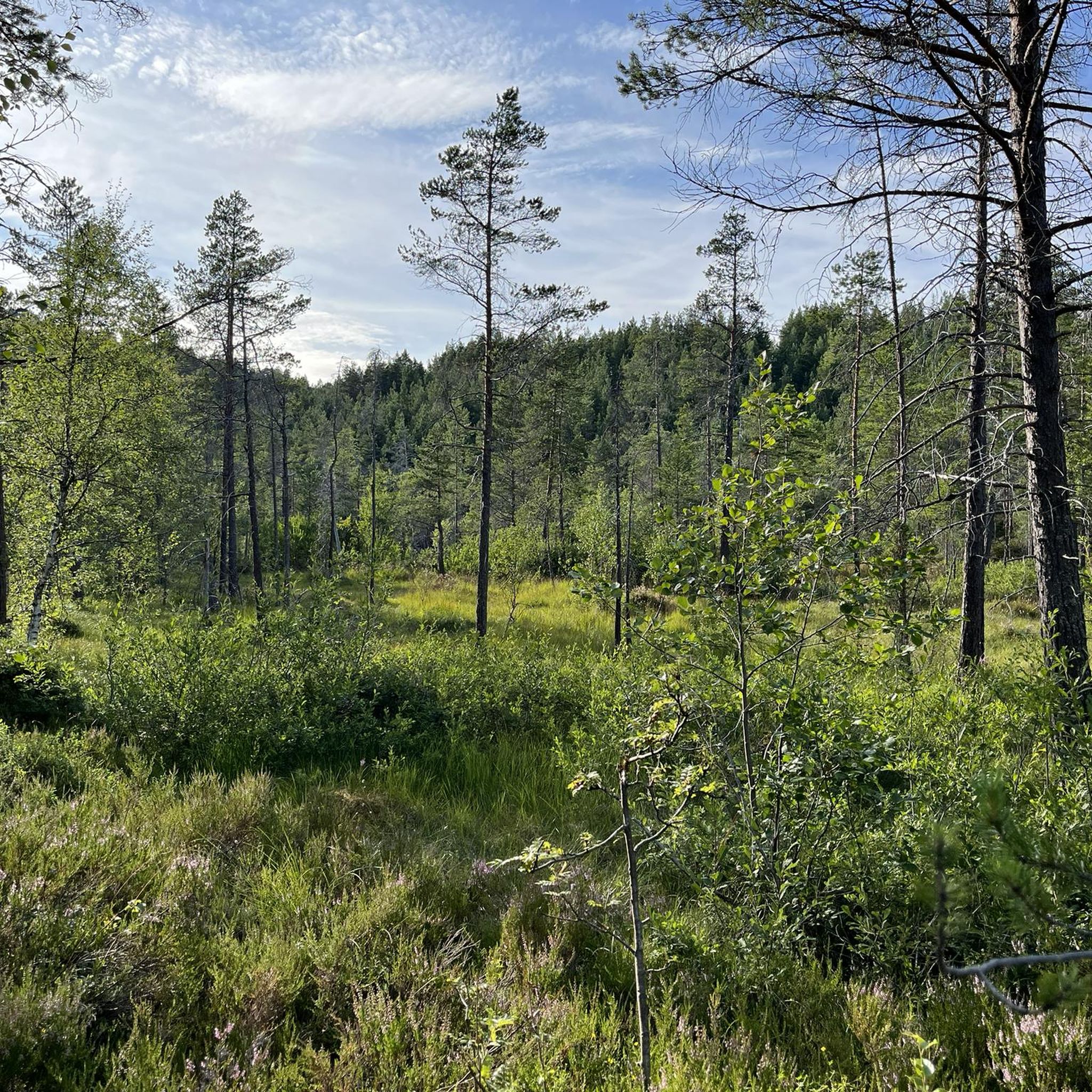
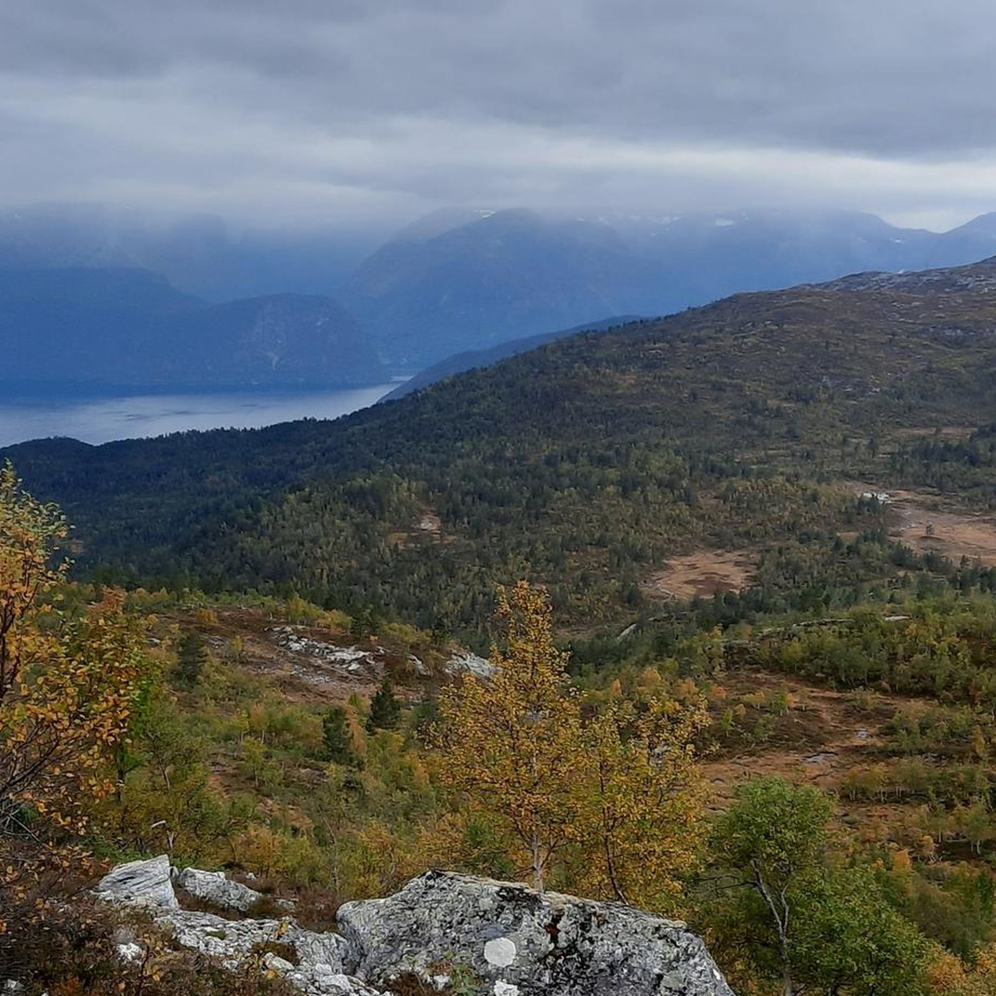
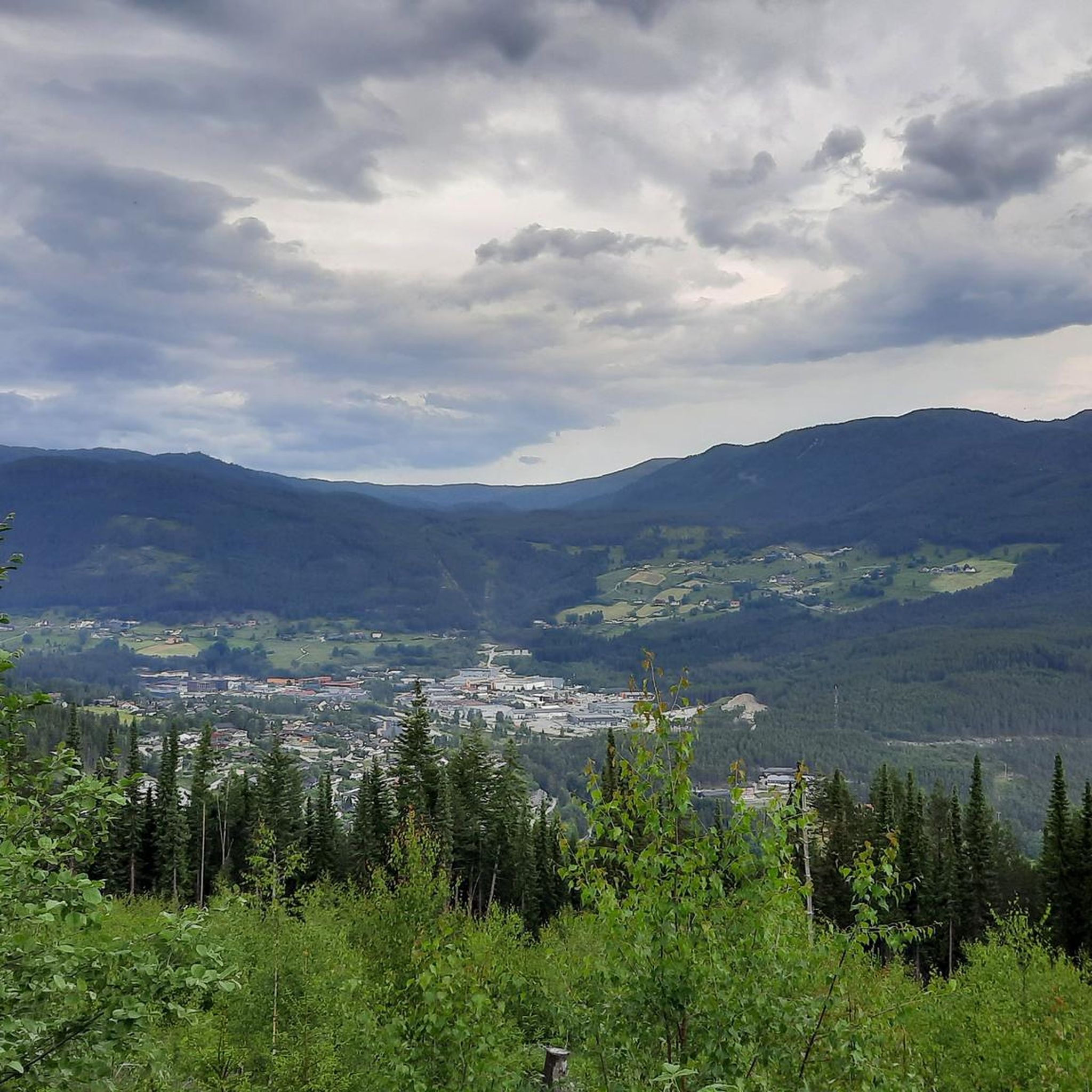
Touring cycling in Rodeholene Naturreservat, located within Sogndal Municipality, Norway, offers routes through a natural reserve spanning 452.1 hectares with elevations from approximately 485 to 950 meters above sea level. The terrain features a large, undisturbed forest area with varied forest and vegetation types, including old-growth characteristics. Dramatic topography, shaped by ancient bedrock fractures and glacial activity, creates diverse landscapes from sparse pine on rocky ground to lush spruce in lower areas, alongside small lakes and marshes. Many routes are primarily on paved surfaces, with a notable gravel road extending from Sogndal Airport to the TV mast on Storehaugfjellet.
Best touring cycling routes in Rodeholene Naturreservat
- The most popular touring cycling route is Cider Farm loop from Kjørnes, a 21.6 miles (34.8 km) trail that takes 2 hours 37 minutes to complete. This route features significant elevation gain through varied forest landscapes.
- Another top favourite among local touring cyclists is Elvavadet – Svinshovden loop from Kaupanger 3 kraftverk, a difficult 26.5 miles (42.6 km) path. This route traverses the reserve's dramatic topography, offering extensive views.
- Local touring cyclists also love the Murahaug – Holene loop from Stedje kyrkje, a 19.5 miles (31.4 km) trail leading through undisturbed forest areas, often completed in about 2 hours 30 minutes.
- Touring cycling in Rodeholene Naturreservat is defined by undisturbed forest areas, varied forest landscapes, and dramatic topography. The network offers options for various fitness levels, from leisurely rides to more challenging excursions with significant elevation gains.
- The routes in Rodeholene Naturreservat are highly rated by the komoot community with an average score of 4.1 stars from more than 10 reviews. More than 300 touring cyclists have used komoot to explore Rodeholene Naturreservat's varied terrain.
Last updated: July 10, 2026
5.0
(2)
33
riders
34.8km
02:38
860m
860m
Hard bike ride. Very good fitness required. Mostly paved surfaces. Suitable for all skill levels.
11
riders
42.9km
03:53
1,300m
1,310m
Hard bike ride. Very good fitness required. Mostly paved surfaces. Suitable for all skill levels.

Sign up for free
23
riders
31.3km
02:30
830m
830m
Hard bike ride. Very good fitness required. Mostly paved surfaces. Suitable for all skill levels.
10
riders
10.2km
01:01
280m
280m
Hard bike ride. Good fitness required. You may need to push your bike for some segments of this route.
4.7
(3)
56
riders
105km
07:01
1,600m
1,600m
Hard bike ride. Very good fitness required. Mostly paved surfaces. Suitable for all skill levels.
Get access to more routes and recommendations from other explorers.
Sign up for free
Already have an account?
Our route recommendations are based on thousands of hikes, rides, and runs completed by other people on komoot.
Start today with a free account
Your next adventure awaits.
Login or Signup
Tips from the Community

Feigefossen is a stunning waterfall located on the south side of the Lustrafjorden in Norway. It is one of the country's highest unregulated waterfalls, with a single drop of 218 meters. A short but steep hike from the road leads to a viewpoint where you can experience its powerful cascade up close.
0
0

Great bakery with very good coffee from the portafilter machine
0
0

hardly any traffic, but pitch black - bicycle light and/or headlamp necessary
0
0

Beautiful view over the Lusterfjord from Kaffee Hauge.
0
0
For this tour around the Lusterfjord you have to rely on a ferry.
0
0

There must be time for a break here. Cinnamon rolls and other pastries, as well as bread from the old stone oven
0
0

Great tour with a great view.
1
0
Frequently Asked Questions
What kind of terrain can I expect when touring cycling in Rodeholene Naturreservat?
Rodeholene Naturreservat features a diverse landscape shaped by ancient bedrock fractures and glacial activity. You'll encounter large, undisturbed forest areas with varied vegetation, from sparse pine on rocky ground to lush spruce in lower areas. Many routes are primarily on paved surfaces, but there is a notable gravel road extending from Sogndal Airport to the TV mast on Storehaugfjellet, which is popular for cycling during the summer months.
Are there touring cycling routes suitable for beginners or those seeking an easier ride?
Yes, while many routes in Rodeholene Naturreservat are challenging, there are options for various fitness levels. The area offers 2 easy and 4 moderate touring cycling routes, providing less strenuous options to enjoy the natural beauty.
Can I find challenging touring cycling routes with significant elevation gains?
Absolutely. Rodeholene Naturreservat is known for its dramatic topography, and 11 of the 17 touring cycling routes are rated as difficult. For example, the Elvavadet – Svinshovden loop from Kaupanger 3 kraftverk is a challenging 42.6 km path traversing the reserve's dramatic terrain with extensive views and significant elevation.
What is the best time of year for touring cycling in Rodeholene Naturreservat?
The gravel road from Sogndal Airport to the TV mast on Storehaugfjellet is particularly popular for cycling during the summer months. Generally, the warmer seasons offer the most favorable conditions for touring cycling, allowing you to fully enjoy the varied forest landscapes and natural features.
Are there any circular touring cycling routes available?
Yes, several routes in the area are designed as loops. A popular option is the Cider Farm loop from Kjørnes, a 34.8 km trail that takes about 2 hours and 37 minutes to complete, featuring significant elevation gain through varied forest landscapes.
What do other touring cyclists say about the routes in Rodeholene Naturreservat?
The touring cycling routes in Rodeholene Naturreservat are highly rated by the komoot community, with an average score of 4.1 stars from more than 10 reviews. Over 300 touring cyclists have used komoot to explore the varied terrain, often praising the undisturbed forest areas and dramatic topography.
Is mountain biking permitted in Rodeholene Naturreservat?
Mountain biking is generally prohibited within Rodeholene Naturreservat. However, there is one specific exception: the gravel road extending from Sogndal Airport to the TV mast on Storehaugfjellet is permitted for cycling and is a popular spot during the summer.
Are there any specific points of interest or natural features to look out for on the touring cycling routes?
The reserve is characterized by its biological and geological diversity. You'll cycle through large, undisturbed forest areas with old-growth characteristics, dramatic topography, and varied forest types. Small lakes, marshes, and swampy forests can also be found in the valleys, offering serene natural beauty.
What kind of wildlife might I encounter while cycling in the reserve?
Rodeholene Naturreservat is an important habitat for various wildlife. You might spot forest birds like capercaillie and black grouse, as well as deer. Golden eagles have also been observed in the vicinity, and the reserve is home to rare and red-listed species, including specific fungi and orchids.
Where can I find parking for touring cycling routes in Rodeholene Naturreservat?
A common starting point for activities in the reserve, including cycling on the permitted gravel road, is the Sogndal Airport parking area. This provides convenient access to the routes.
Are there any shorter touring cycling routes for a quicker ride?
Yes, for a shorter ride, consider the Drivdalsgjerdet loop from Kaupanger stavkyrkje. This route is 10.3 km long and can be completed in just over an hour, offering a quicker way to experience the area.
What is the elevation range within Rodeholene Naturreservat?
The reserve spans elevations ranging from approximately 485 to 950 meters above sea level. This significant elevation difference contributes to the dramatic topography and challenging aspects of many touring cycling routes.
Most popular routes in Rodeholene Naturreservat

Get inspired with the komoot mobile app


Explore more
Browse the best Cycling routes in other regions.
