The best walks and hikes in Breisete Naturreservat
4.3
(460)
2,059
hikers
71
hikes
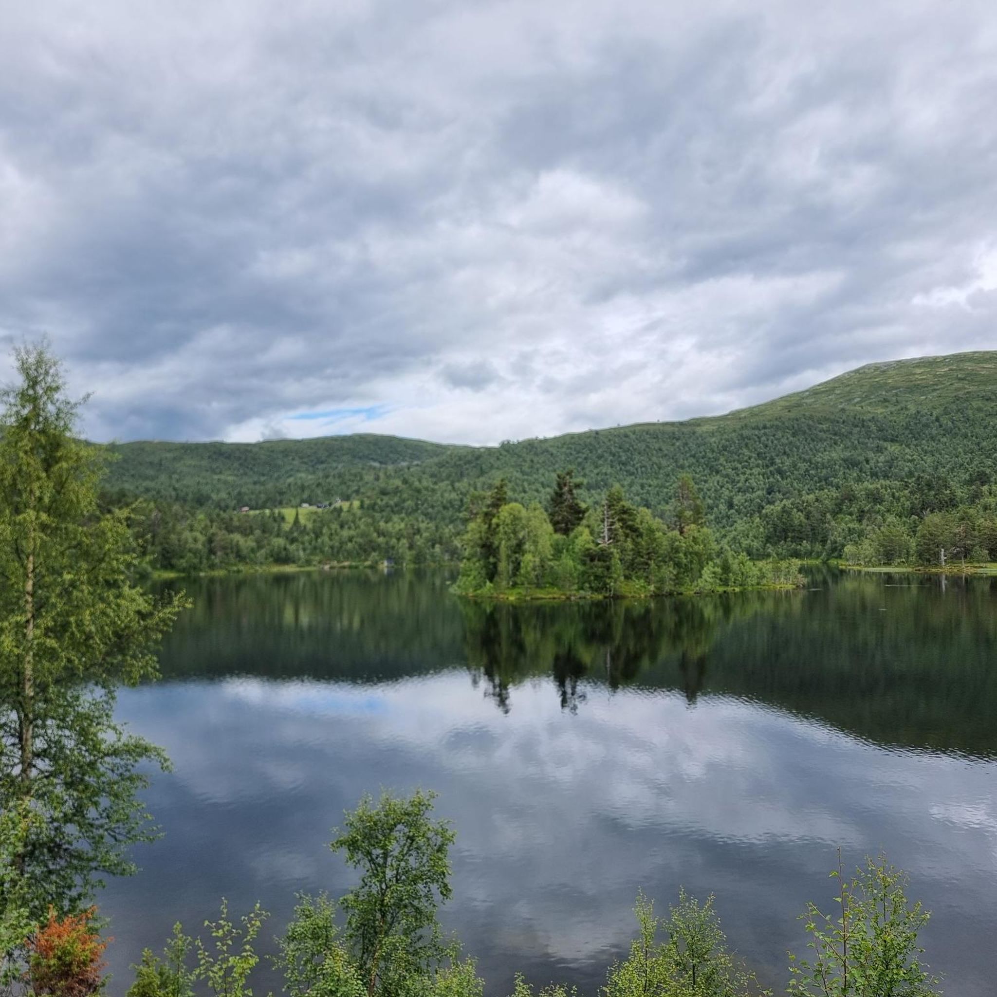
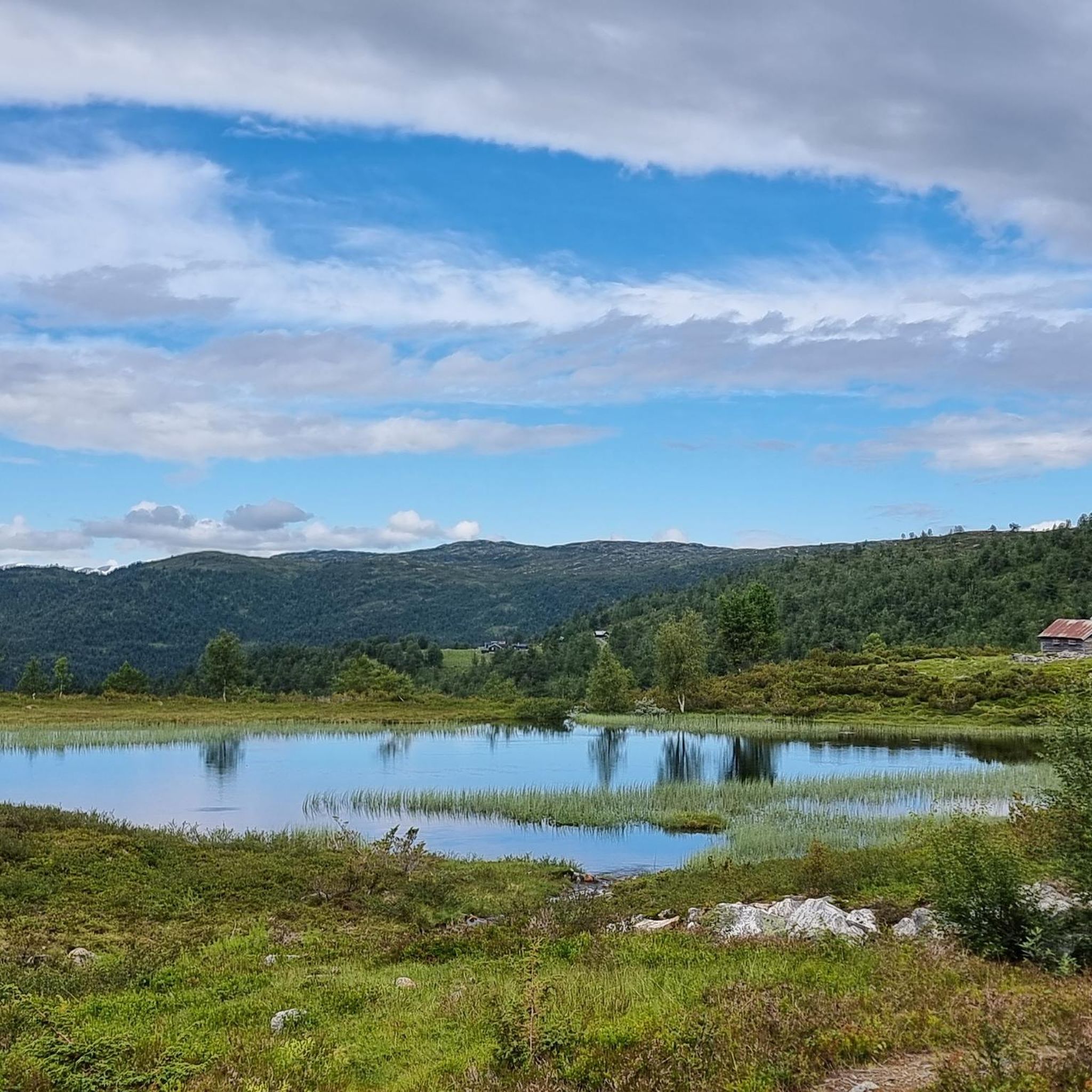
Hiking trails in Breisete Naturreservat are situated in Sogn and Fjordane, encompassing the interior of Breisetedalen valley and the western slopes of Store Haugmelen, which reaches 1172 meters. The reserve's altitude ranges from approximately 560 to 920 meters above sea level. It is characterized by an expansive, largely undisturbed forest, featuring a rich variety of forest and vegetation types, including significant portions of old-growth forest and abundant deadwood. The primary objective of the reserve is to maintain this area in…
Last updated: July 10, 2026
4
hikers
12.9km
04:16
600m
600m
Moderate hike. Good fitness required. Easily-accessible paths. Suitable for all skill levels.
4.0
(1)
3
hikers
11.3km
03:38
490m
490m
Moderate hike. Good fitness required. Easily-accessible paths. Suitable for all skill levels.

Sign up for free
4.3
(19)
42
hikers
9.32km
03:05
460m
460m
Moderate hike. Good fitness required. Easily-accessible paths. Suitable for all skill levels.
4.0
(1)
27
hikers
Easy hike. Great for any fitness level. Easily-accessible paths. Suitable for all skill levels.
4.0
(1)
12
hikers
3.00km
00:51
60m
60m
Easy hike. Great for any fitness level. Easily-accessible paths. Suitable for all skill levels.
Get access to more routes and recommendations from other explorers.
Sign up for free
Already have an account?
Our route recommendations are based on thousands of hikes, rides, and runs completed by other people on komoot.
Start today with a free account
Your next adventure awaits.
Login or Signup
Tips from the Community

Unfortunately it was closed when we were here
0
0

A remarkable stave church. It is the successor building to a previous church, which was mentioned in a document in 1183.
1
0
Pier of the car ferry Gudvangen - Kaupanger. Crossings can be booked online here: https://www.fjordtours.com/things-to-do-in-norway/car-ferries/kaupanger-gudvangen/
1
0

Here the ferry to Gudvangen starts through the Naeroyfjord.
0
0
Frequently Asked Questions
How many hiking trails are available in Breisete Naturreservat?
Breisete Naturreservat offers a wide selection of hiking opportunities, with over 70 trails to explore. These routes cater to various skill levels, from easy paths to more demanding ascents.
What kind of natural features and landscapes can I expect to see while hiking here?
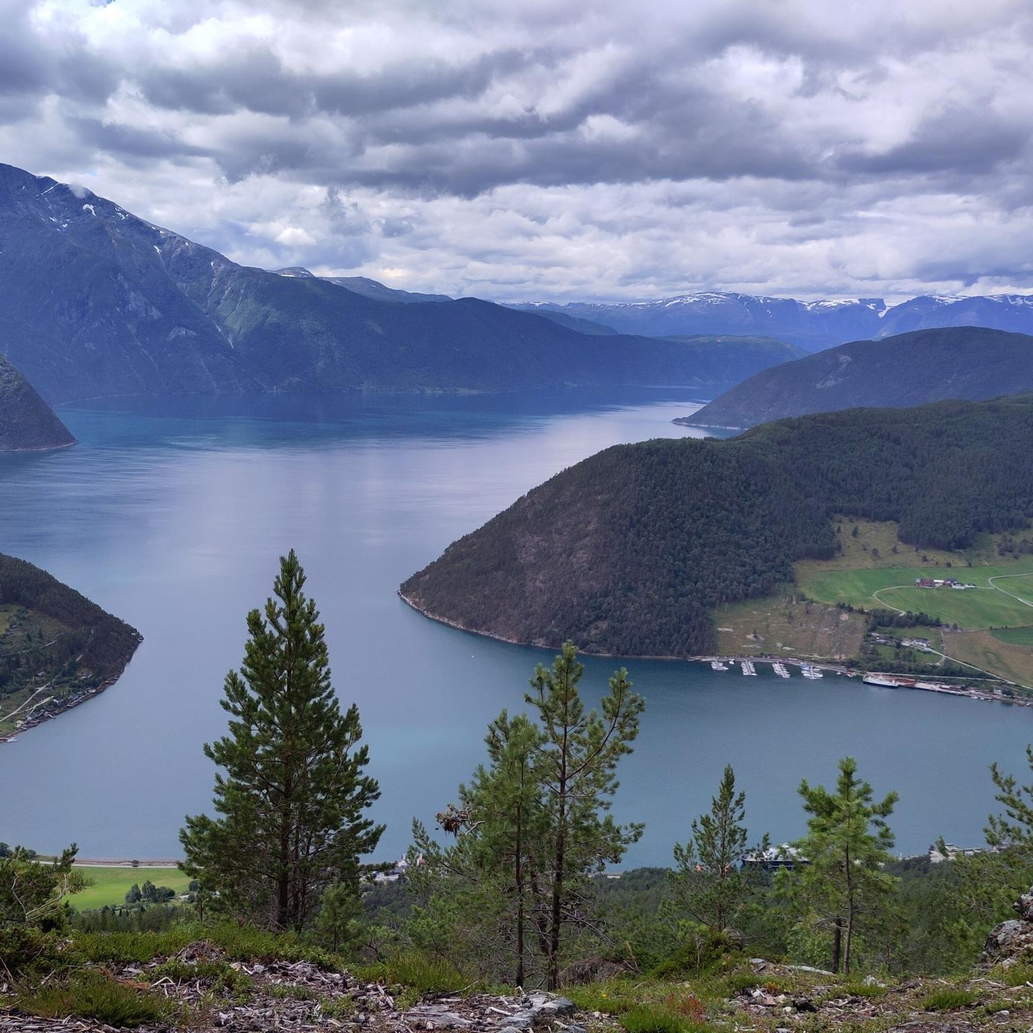
The reserve is characterized by its expansive, largely undisturbed old-growth forest, featuring a rich variety of vegetation. You'll traverse the interior of the Breisetedalen valley and the western slopes of Store Haugmelen. Some routes, like the Amlaholten (507 m) – View of Sognefjord loop from Amla, also offer scenic vistas of the Sognefjord.
Are there any easy or family-friendly hiking options in Breisete Naturreservat?
Yes, Breisete Naturreservat offers several easily accessible paths suitable for all skill levels, including families. An example of an easier route is the Kaupanger Ferry Terminal – Kaupanger Stave Church loop from Kaupanger, which is a shorter, less strenuous option.
What are the typical durations for hikes in Breisete Naturreservat?
Hiking durations in the reserve vary significantly. You can find shorter walks that take under two hours, while more extensive routes can require over five hours to complete, depending on the trail and your pace.
Are there circular hiking routes available?
Yes, many of the trails in Breisete Naturreservat are designed as loops, allowing you to start and end at the same point. Popular circular routes include the Tverrberg – Blomdalshaug loop from Kaupanger and the Breisete naturreservat loop from Kaupanger.
What is the general difficulty level of the trails?
The trails in Breisete Naturreservat range from easy to demanding. While many paths are accessible for all, some routes require good fitness, sure-footedness, sturdy shoes, and even alpine experience due to significant elevation gains and varied terrain.
What do other hikers enjoy most about Breisete Naturreservat?
The area is highly rated by the komoot community, with an average score of 4.4 stars from over 450 reviews. Hikers often praise the diverse landscapes, the tranquility of the undisturbed old-growth forests, and the varied trail difficulties that cater to different preferences.
Can I bring my dog on the hiking trails?
Generally, dogs are welcome on the hiking trails in Breisete Naturreservat. However, it's always recommended to keep them on a leash to protect local wildlife and ensure a pleasant experience for all hikers.
What are some nearby places to explore or amenities after a hike?
After your hike, you can explore nearby Kaupanger, which is home to the historic Kaupanger Stave Church. For amenities like cafes or accommodation, both Kaupanger and the larger town of Sogndal offer options.
What is the altitude range within Breisete Naturreservat?
The altitude within Breisete Naturreservat itself ranges from approximately 560 to 920 meters above sea level, encompassing the valley floor and the lower slopes of Store Haugmelen.
Are there any routes that offer views of the Sognefjord?
Yes, for stunning views of the Sognefjord, consider the Amlaholten (507 m) – View of Sognefjord loop from Amla. This trail leads through varied terrain and provides excellent scenic vistas of the fjord.
What is the primary conservation goal of Breisete Naturreservat?
The primary objective of Breisete Naturreservat is to maintain the area in its most natural condition. This involves fostering native species and wildlife and allowing forest dynamics to be shaped by natural processes, preserving its old-growth forest character.
Most popular routes in Breisete Naturreservat

Get inspired with the komoot mobile app


Explore more
Browse the best Hikes in other regions.
