The best running trails in Trollheimen Landskapsvernområde
4.6
(5)
108
runners
16
runs
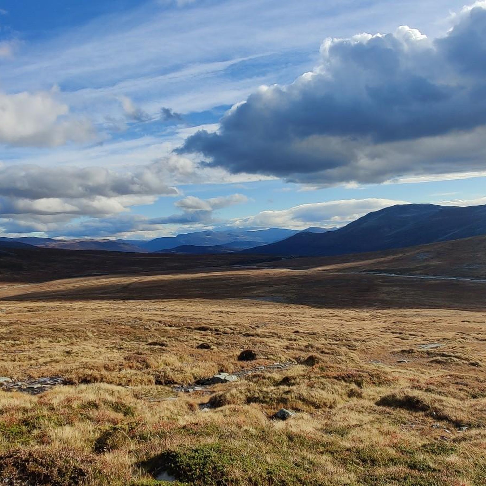
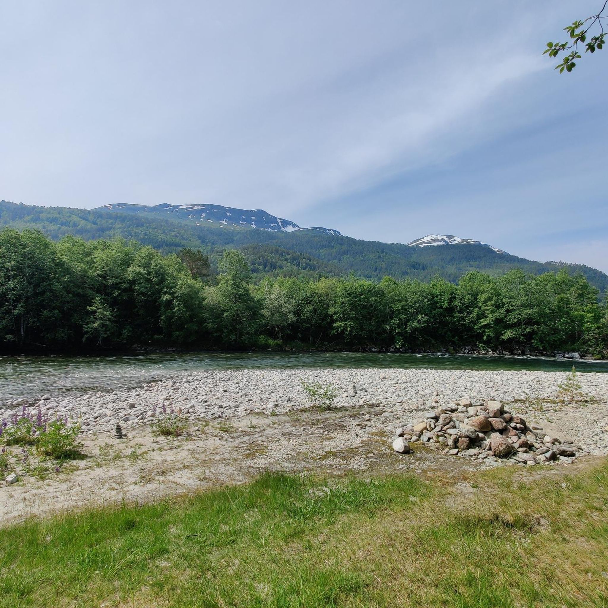
Jogging routes in Trollheimen Landskapsvernområde traverse a diverse landscape, ranging from 250 to 1,850 meters above sea level. The eastern part features rounded, gentle hills, while the western areas are characterized by wilder, more jagged mountains and deep forest valleys. The region includes lush mountain pastures, untouched forests, and numerous rivers and lakes, offering varied terrain for running. This protected landscape provides a network of trails suitable for different running experiences.
Best jogging routes in Trollheimen Landskapsvernområde
- The most popular…
Last updated: June 28, 2026
4
runners
6.91km
00:45
40m
40m
Moderate run. Good fitness required. Mostly paved surfaces. Suitable for all skill levels.
16
runners
8.28km
01:04
280m
280m
Jog the moderate 5.1-mile Innerdalen out and back trail, gaining 919 feet with views of Innerdalsvatnet and Innerdalstårnet.

Sign up for free
5.0
(1)
6
runners
8.25km
00:54
50m
50m
Moderate run. Good fitness required. Mostly paved surfaces. Suitable for all skill levels.
4
runners
20.6km
02:27
330m
330m
Hard run. Very good fitness required. Mostly paved surfaces. Suitable for all skill levels.
5.0
(1)
4
runners
6.18km
00:39
20m
20m
Moderate run. Good fitness required. Mostly paved surfaces. Suitable for all skill levels.
Get access to more routes and recommendations from other explorers.
Sign up for free
Already have an account?
Our route recommendations are based on thousands of hikes, rides, and runs completed by other people on komoot.
Start today with a free account
Your next adventure awaits.
Login or Signup
Popular around Trollheimen Landskapsvernområde
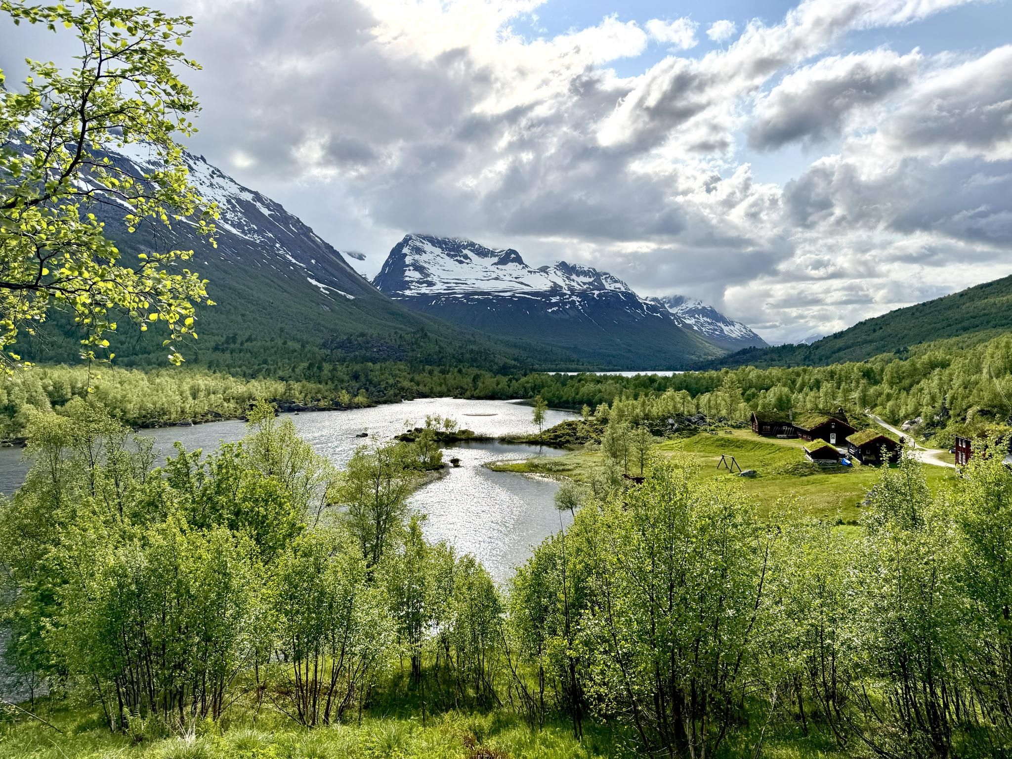
SignaTUR Trollheimen – Discover the mountainous 'home of the trolls'
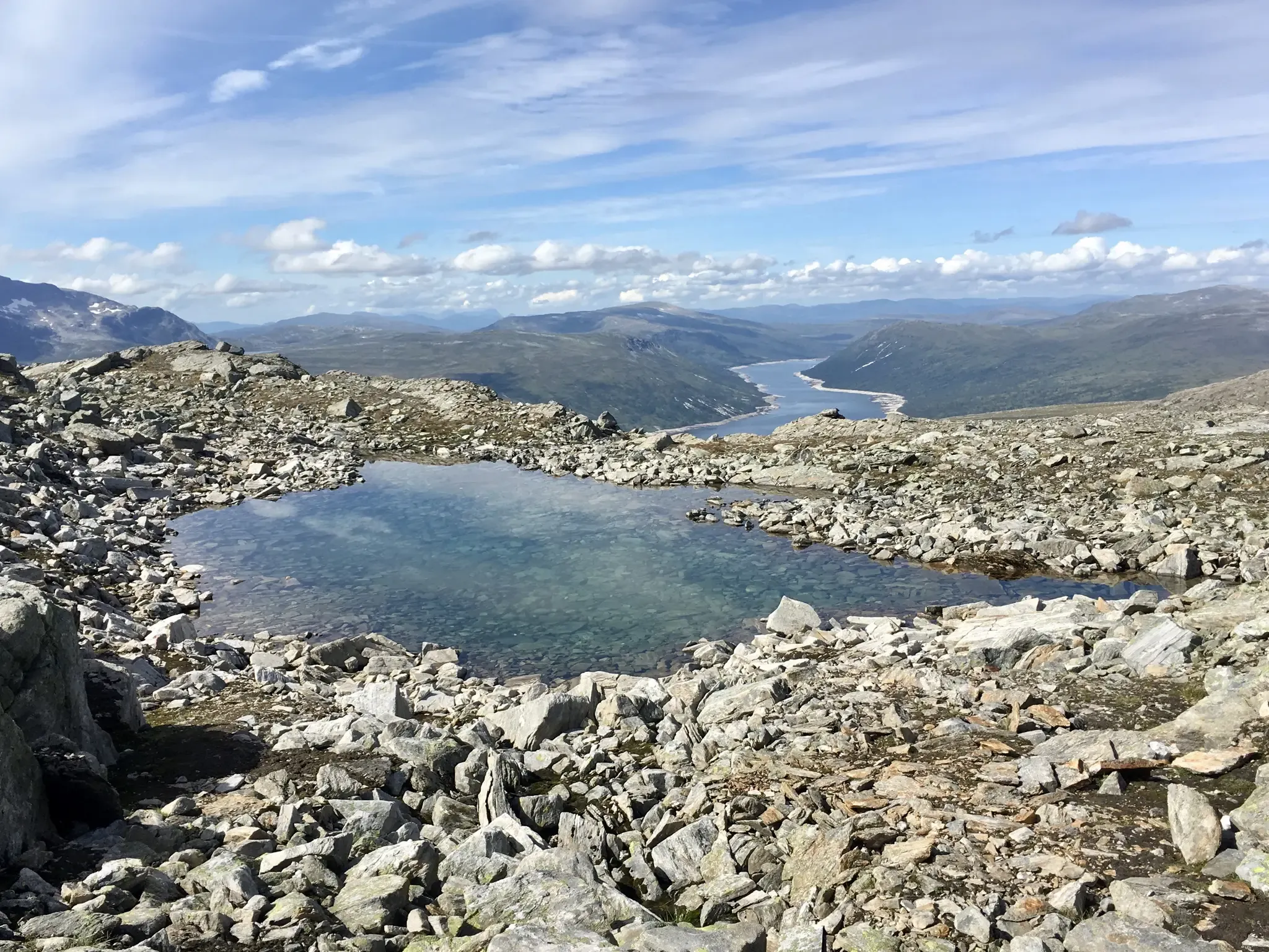
Trollheimen Triangle — A three-day cabin-to-cabin loop
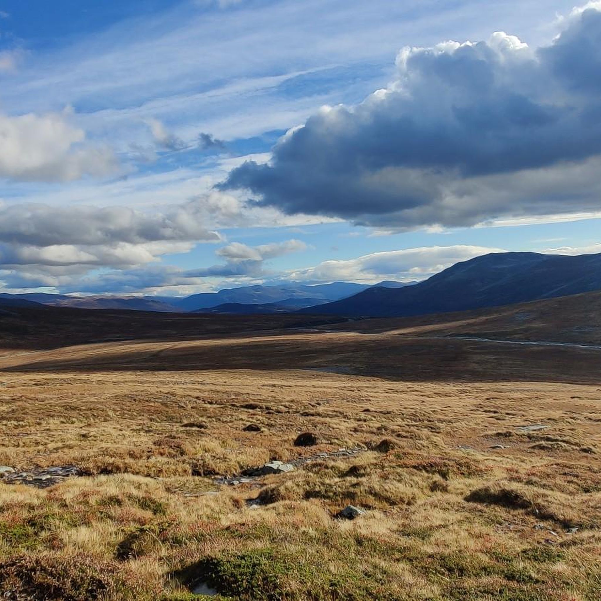
Hiking in Trollheimen Landskapsvernområde
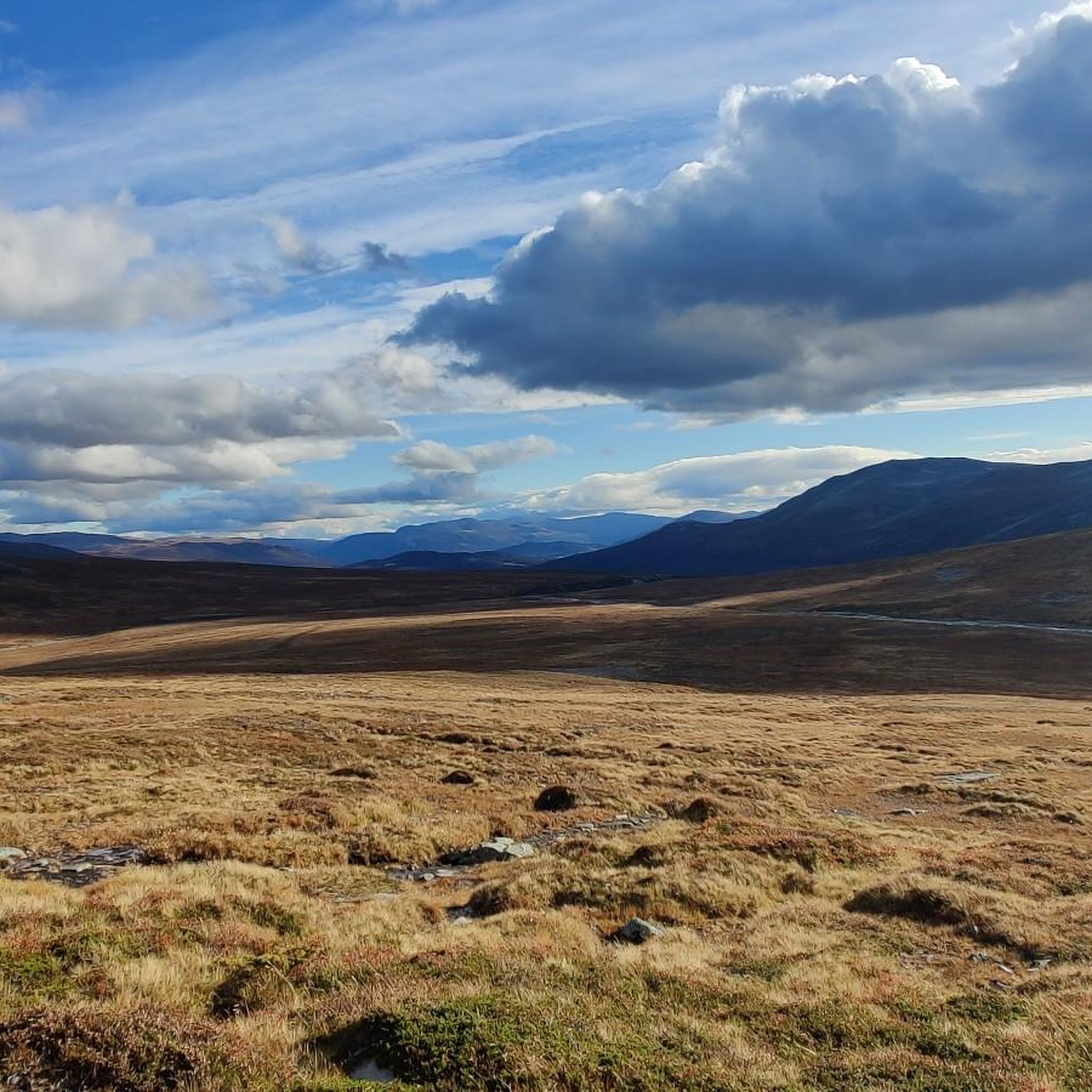
MTB Trails in Trollheimen Landskapsvernområde
Cycling in Trollheimen Landskapsvernområde
Road Cycling Routes in Trollheimen Landskapsvernområde
Other adventures in Trollheimen Landskapsvernområde


Tips from the Community

Innerdalshytta enjoys the tremendous backdrop of mighty Innerdalstårnet, sometimes cited as the Matterhorn of Norway. This DNT cabin provides accommodation and, during the summer months, there's food and drink available.
0
0
Innerdalsvatnet is a gorgeous lake in the sublimely beautiful Innerdalen. The view across the water to the towering Innerdalstårnet is sure to get the pulse racing.
0
0
Renndølsetra is a mountain pasture farm in an absolutely idyllic setting. There's accommodation, with evening meals for guests, while hikers not staying can also sample some local produce here too. It's a great place for a break in beautiful Innerdalen.
1
0

Metallurgy with a view of the lake and the striking mountain.
0
0
A stop at the end of the way. Ever since Lonely Planet and Instagram discovered Innerdalen, things have been going on like in the Bernese Oberland.
0
0
Frequently Asked Questions
How many running routes are available in Trollheimen Landskapsvernområde?
There are over 20 running routes in Trollheimen Landskapsvernområde, offering a wide range of experiences from moderate valley runs to challenging mountain trails.
What kind of terrain can I expect on the jogging trails in Trollheimen?
Trollheimen offers incredibly varied terrain. The eastern part features rounded, gentle hills, while the western areas are characterized by wilder, more jagged mountains and deep forest valleys. You'll find lush mountain pastures, untouched forests, and numerous rivers and lakes, providing diverse surfaces for running.
Are there any family-friendly running routes in Trollheimen Landskapsvernområde?
Yes, Trollheimen offers routes suitable for families. While the guide features more moderate to difficult options, the region's green, wooded valleys and gentler eastern hills provide scenic and often softer running surfaces. Look for routes described as 'moderate' for a more accessible experience, such as the Running loop from Holssanden.
Can I bring my dog on the running trails in Trollheimen?
Trollheimen Landskapsvernområde is generally dog-friendly, but it's crucial to be aware of local regulations, especially concerning livestock grazing in summer mountain farming areas (sæters) and wildlife protection. Always keep your dog on a leash where required and ensure they are well-behaved around other trail users and animals.
What are some notable landmarks or natural features to see while running in Trollheimen?
The region is rich in natural beauty and cultural history. You might encounter traces of Stone Age settlements, ancient hunting cultures, and active summer mountain farms. Specific natural features include the winding Minilla River and beautiful mountain lakes. For impressive views, consider routes that pass by highlights like Fluren Summit or Mellomfjellet Plateau.
Are there any circular running routes in Trollheimen Landskapsvernområde?
Yes, several circular running routes are available. For example, the Blåhøa loop from Røstbekken is a challenging circular trail, while the Running loop from Holssanden offers a moderate, shorter loop option.
What is the best time of year for running in Trollheimen?
The best time for running in Trollheimen is typically during the warmer months, from late spring to early autumn (June to September), when trails are clear of snow and the weather is milder. This allows access to the full network of trails and the enjoyment of the lush landscapes. Winter running is possible but requires appropriate gear and awareness of snow conditions.
Are there accommodations or places to eat near the running trails?
Yes, Trollheimen has a tradition of mountain huts and accommodations. The well-known 'Trollheimen Triangle' connects mountain huts like Trollheimshytta and Jøldalshytta, which offer facilities. Popular starting points like Gjevilvassdalen and Storlidalen also provide accommodation and amenities, making them good bases for your running adventures.
What do other runners say about the trails in Trollheimen Landskapsvernområde?
The running routes in Trollheimen Landskapsvernområde are highly rated by the komoot community, with an average score of 4.6 stars. Runners often praise the diverse terrain, from scenic valley paths to challenging mountain ascents, and the opportunity to experience Norway's species-rich mountain ranges.
Are there any beginner-friendly running trails in the area?
While Trollheimen is known for its varied terrain, including challenging mountain routes, there are also more accessible options. The eastern part of the region features gentler hills and green valleys, which are ideal for less experienced runners. Routes like the Innerdalen Valley Trail offer a moderate experience through scenic valleys.
Is parking available at the trailheads for running routes?
Yes, popular starting points for trails, such as Gjevilvassdalen and Storlidalen, typically offer parking facilities. It's advisable to check specific route descriptions or local information for detailed parking options at individual trailheads.
How can I reach Trollheimen Landskapsvernområde using public transport?
While Trollheimen is a remote mountain area, some access points might be reachable by public transport, often involving bus services to nearby towns or valleys. However, direct public transport to all trailheads might be limited. Planning ahead and checking local bus schedules for the specific valley or starting point you intend to visit is recommended.
Most popular routes in Trollheimen Landskapsvernområde
Most popular attractions in Trollheimen Landskapsvernområde

Get inspired with the komoot mobile app


Explore more
Browse the best Running Trails & Routes in other regions.
