The best walks and hikes in Aureosen Dyrelivsfredning
4.3
(506)
2,412
hikers
46
hikes
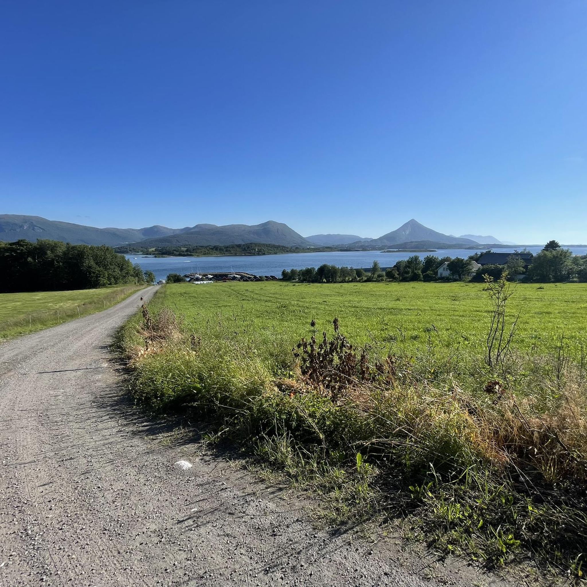
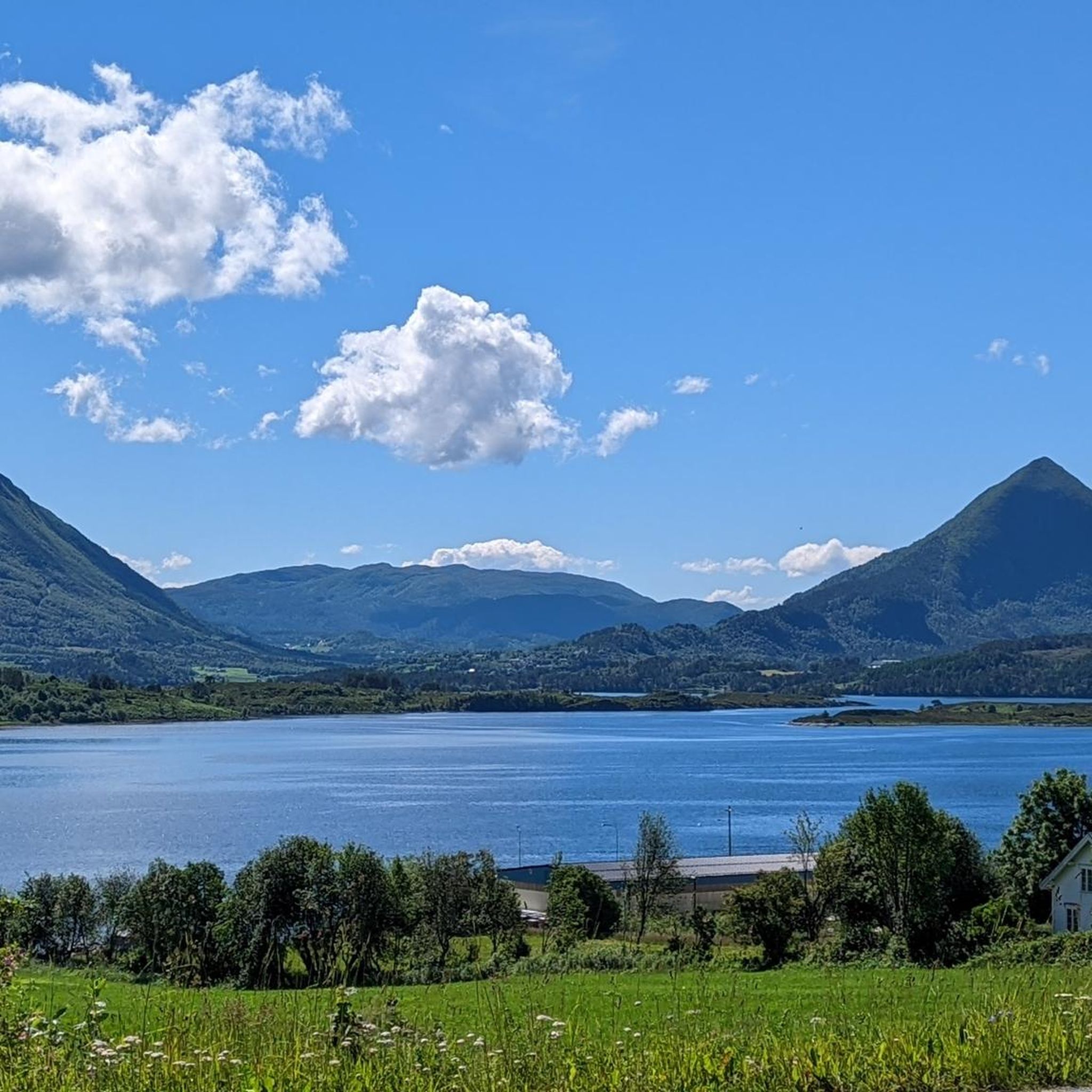
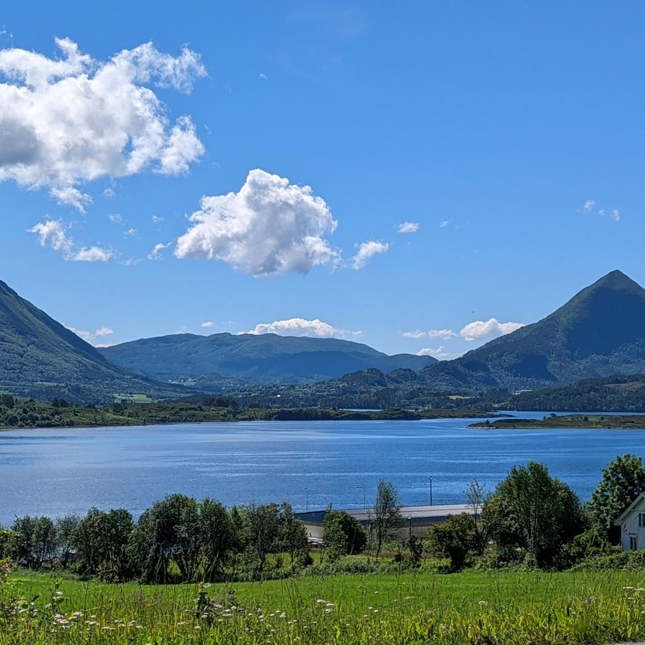
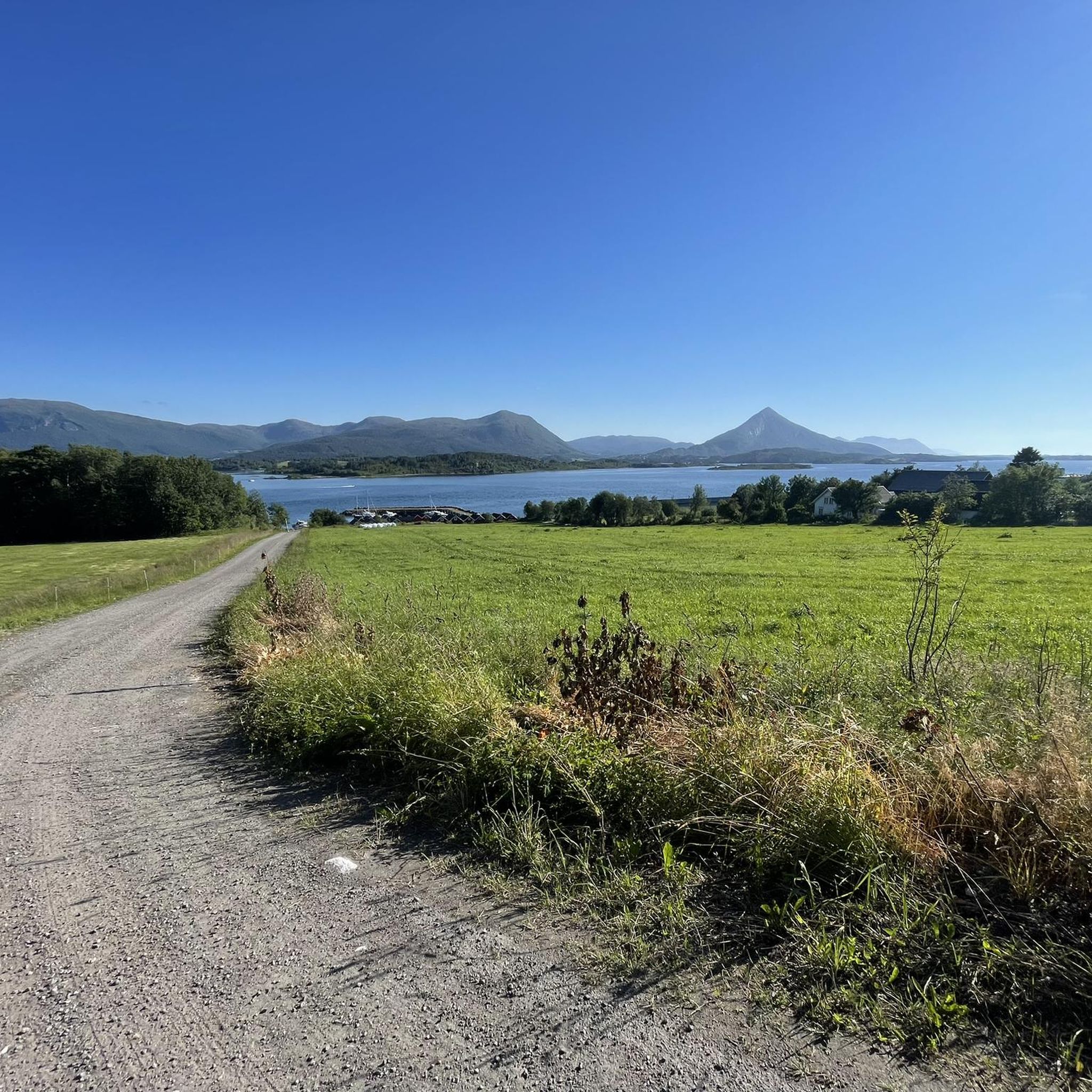
Aureosen Dyrelivsfredning information highlights a unique wetland ecosystem, primarily established as a wildlife protection zone. The area features a sheltered bay with smaller stream outlets and large tidal areas, characterized by predominantly clay at the bottom. It hosts valuable intact plant communities, including eelgrass meadows and small sea grass communities. This region offers opportunities for connecting with nature through easy walks, focusing on its distinctive wetland landscape and diverse birdlife.
Best hiking trails in Aureosen Dyrelivsfredning
- The most popular hiking route is Jendemsfjellet Summit, a 3.3 miles (5.2 km) trail that takes 2 hours 24 minutes to complete. This moderate route offers views over the surrounding landscape.
- Another top favourite among local hikers is The Talstad horse from Elnesvågen, a moderate 7.8 miles (12.6 km) path. This trail explores varied terrain, including areas near the coast.
- Local hikers also love the Lågheia loop from Hauglia Mellomfaret, a 4.0 miles (6.4 km) trail leading through the local hills, often completed in about 2 hours 26 minutes.
- Hiking in Aureosen Dyrelivsfredning is defined by its wetland environment, tidal areas, and significant birdlife. The network offers options for different ability levels, from easy walks to more challenging paths.
- The routes in Aureosen Dyrelivsfredning are highly rated by the komoot community with an average score of 4.4 stars from more than 400 reviews. More than 2000 hikers have used komoot to explore Aureosen Dyrelivsfredning's varied terrain.
Last updated: July 1, 2026
5.0
(1)
22
hikers
5.24km
02:24
520m
520m
Moderate hike. Good fitness required. Easily-accessible paths. Suitable for all skill levels.
10
hikers
12.6km
04:44
840m
840m
Moderate hike. Good fitness required. Easily-accessible paths. Suitable for all skill levels.

Sign up for free
16
hikers
6.43km
02:26
430m
430m
Moderate hike. Good fitness required. Easily-accessible paths. Suitable for all skill levels.
7
hikers
9.64km
04:24
910m
910m
Hard hike. Very good fitness required. Sure-footedness, sturdy shoes and alpine experience required.
5.0
(1)
12
hikers
6.30km
02:27
440m
440m
Moderate hike. Good fitness required. Easily-accessible paths. Suitable for all skill levels.
Get access to more routes and recommendations from other explorers.
Sign up for free
Already have an account?
Our route recommendations are based on thousands of hikes, rides, and runs completed by other people on komoot.
Start today with a free account
Your next adventure awaits.
Login or Signup
Tips from the Community

Talstadhesten is a 913 metre high mountain. It is a popular hiking peak with a prominent summit and an overall prominence of 803 meters. It is a long and at times steep hike, but you get a fantastic panoramic view for your efforts.
0
0

Jendemsfjellet is 633 meters high and the endpoint of the hike. From there, you have a fantastic panoramic view. It's a worthwhile hike, although the beginning has many wet sections. Therefore, on the way back, we took a section of a road. This avoids some of the wet areas and makes the hike easier.
0
0

It gets very muddy in wet weather. Good footwear is required.
1
0
Frequently Asked Questions
How many hiking trails are available in Aureosen Dyrelivsfredning?
Aureosen Dyrelivsfredning offers a wide variety of hiking opportunities, with over 40 documented trails. These range from easy walks to more moderate paths, catering to different fitness levels.
Are there easy hikes suitable for beginners or families with children?
Yes, Aureosen Dyrelivsfredning is an excellent destination for easy and family-friendly hikes. There are 23 easy routes available, many of which are suitable for children. For example, the View from Varden – Viewpoint from Varden loop from Nordbyen is an easy 3.5 km trail that can be completed in under an hour.
What kind of natural features or viewpoints can I expect to see while hiking?
As a protected wildlife sanctuary, Aureosen Dyrelivsfredning offers diverse coastal and terrestrial ecosystems. Hikers can enjoy scenic vistas, such as the 'Aussichtspunkt von Varden – Bank mit Blick auf Molde Runde' (Varden Viewpoint), which provides views overlooking Molde. The area's unique plant communities and varied terrain also add to the natural interest.
Are there any circular hiking routes in Aureosen Dyrelivsfredning?
Yes, several circular routes are available. A popular option is the Viewpoint from Varden – Bench With a View of Molde loop from Molde, an easy 5.2 km trail offering scenic views. Another is the moderate Tusenårsvarden Summit – Bench With a View of Molde loop from Nordbyen, which provides views from Tusenårsvarden Summit.
When is the best time of year to hike in Aureosen Dyrelivsfredning?
The best time to hike in Aureosen Dyrelivsfredning generally aligns with the warmer months, typically from spring through autumn. During these periods, the weather is more favorable, and the diverse flora and fauna are most active, offering optimal conditions for nature observation.
Can I bring my dog on the hiking trails?
As Aureosen Dyrelivsfredning is a wildlife sanctuary, specific regulations regarding dogs may apply to protect local bird and mammal species. It is advisable to check local signage or official park guidelines for the most current information on dog access, especially regarding leash requirements and restricted areas during nesting seasons.
What kind of wildlife can I expect to see in Aureosen Dyrelivsfredning?
Being a wildlife sanctuary, Aureosen Dyrelivsfredning is dedicated to the protection of bird and mammal species. Hikers may have the opportunity to observe various bird species, especially migratory birds in the coastal areas, and potentially some local mammals within the diverse terrestrial ecosystems.
Is parking available for hikers in Aureosen Dyrelivsfredning?
While specific parking areas are not detailed in the guide, it is common for popular hiking destinations in Norway to have designated parking facilities near trailheads. We recommend checking the starting points of individual routes on komoot for specific parking information or local maps before your visit.
How accessible is Aureosen Dyrelivsfredning by public transport?
Aureosen Dyrelivsfredning is located within Møre og Romsdal, a region with varying levels of public transport access. While some trailheads might be reachable by bus or other services, direct public transport links to all starting points may be limited. Planning your journey in advance and checking local transport schedules is recommended.
Do I need a permit to hike in Aureosen Dyrelivsfredning?
Generally, hiking in natural areas in Norway, including protected areas like Aureosen Dyrelivsfredning, does not require a specific permit for access. However, as it is a wildlife sanctuary, there may be regulations concerning access to certain sensitive areas, especially during breeding seasons. Always respect local rules and signage.
What do other hikers say about the trails in Aureosen Dyrelivsfredning?
The hiking routes in Aureosen Dyrelivsfredning are highly regarded by the komoot community, holding an average rating of 4.4 stars from over 450 reviews. Hikers frequently praise the area for its diverse terrain, scenic viewpoints, and the opportunity to experience nature within a protected environment.
Are there any more challenging hiking options for experienced hikers?
While Aureosen Dyrelivsfredning is known for its accessible trails, there are also options for those seeking a bit more challenge. The guide includes 18 moderate routes and 2 difficult routes, offering varied terrain and elevation gains for more experienced hikers.
Most popular routes in Aureosen Dyrelivsfredning

Get inspired with the komoot mobile app


Explore more
Browse the best Hikes in other regions.
