The best mountain hikes in Dalsida Landskapsvernområde
5.0
(7)
46
hikers
3
hikes
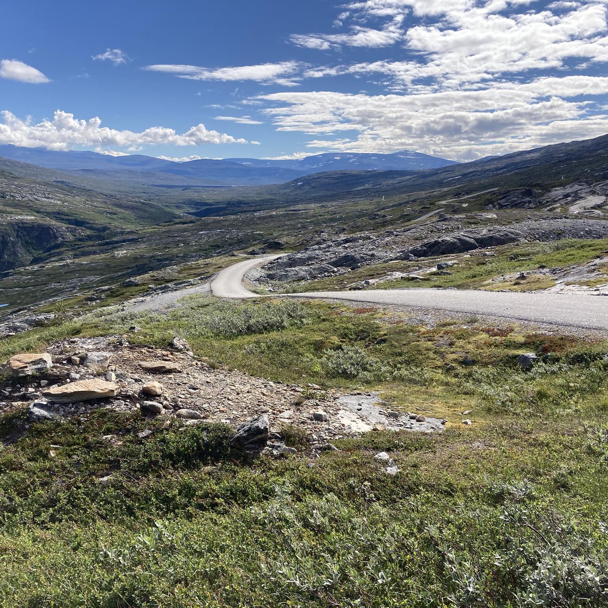
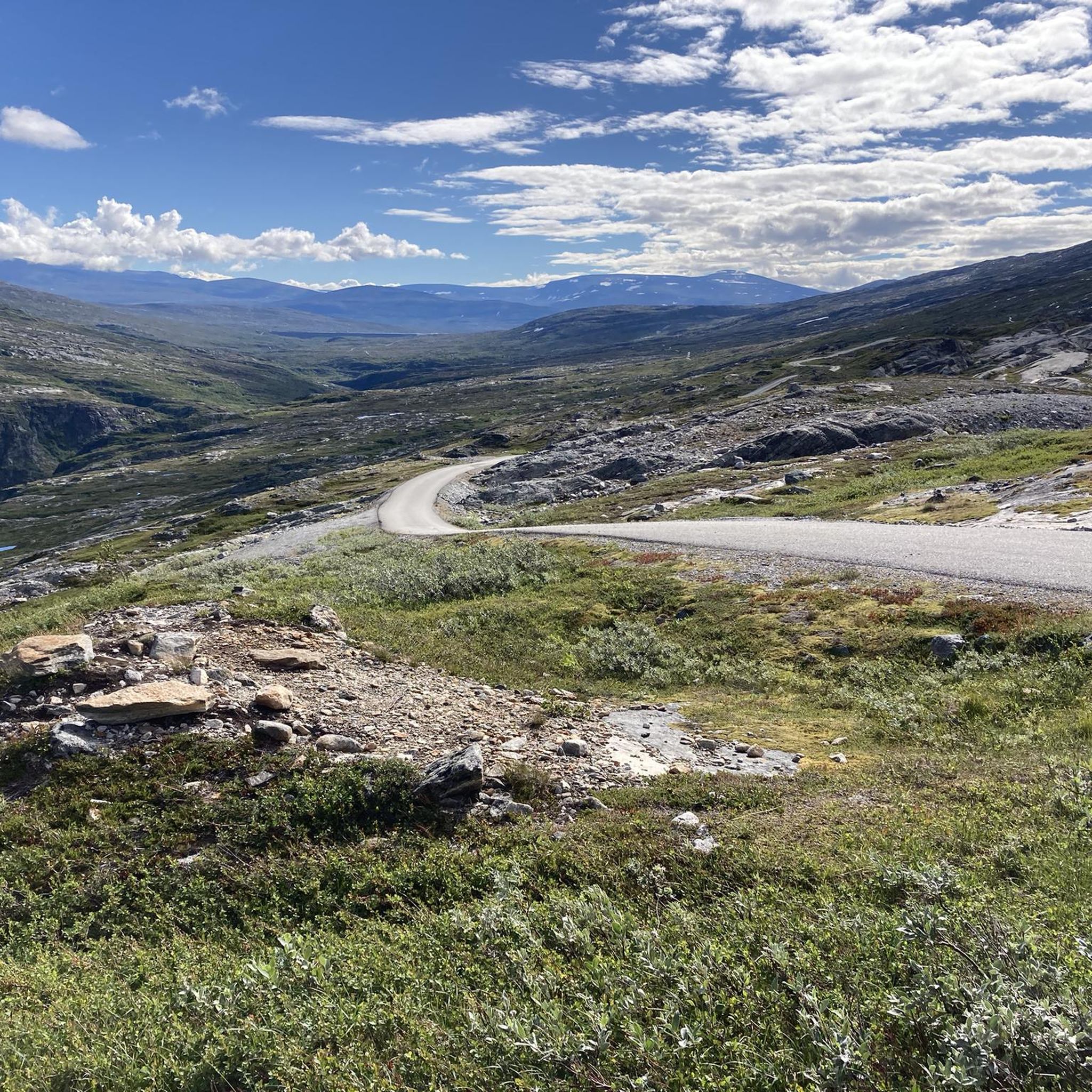
Mountaineering routes in Dalsida Landskapsvernområde traverse a varied and dramatic landscape situated between Lesjabygda and Romsdalen. The region is characterized by towering mountains, offering diverse routes for varying skill levels. It extends from Veslhorrungen in the southeast to iconic peaks like Romsdalshorn and Venjetind in the northwest. This mountainous terrain provides opportunities for challenging ascents with significant elevation gains.
Best mountaineering routes in Dalsida Landskapsvernområde
- The most popular mountaineering route is Norafjellet loop from Brekka, a 3.7 miles (5.9…
Last updated: October 13, 2026
5.0
(2)
4
hikers
2.78km
02:12
340m
340m
Hard mountaineering route. Good fitness required. Sure-footedness, sturdy shoes and alpine experience required.
5.0
(1)
3
hikers
7.71km
03:14
550m
560m
Hard mountaineering route. Good fitness required. Sure-footedness, sturdy shoes and alpine experience required.

5
hikers
8.27km
04:45
800m
800m
Hard mountaineering route. Good fitness required. Sure-footedness, sturdy shoes and alpine experience required.
5.0
(1)
18
hikers
7.33km
04:12
780m
780m
Hard mountaineering route. Good fitness required. Sure-footedness, sturdy shoes and alpine experience required.
5.0
(4)
20
hikers
10.9km
05:35
740m
740m
Hard mountaineering route. Very good fitness required. Sure-footedness, sturdy shoes and alpine experience required.
Our route recommendations are based on thousands of hikes, rides, and runs completed by other people on komoot.
Start today with a free account
Your next adventure awaits.

Tips from the Community

A breathtaking view. The way there is arduous, but the view is worth it.
0
0


Well done on the Trollstiegen pass
0
0

The steep climb is definitely worth it
0
0

The Trollstigen is one of the most impressive mountain roads in Europe. It climbs a good 400 meters in 11 hairpin bends and connects Romsdalen with Geiranger. The viewing platforms offer a fantastic view of the pass. But the most impressive part, for me, is the crossing of the 320-meter-high waterfall, Stigfossen.
8
1

The climb from Andalsnes is closed until July 14, 2025, due to landslide repairs, but the south side of Trollstigen is open up to the viewpoint. On a clear day, you can see the switchbacks – a must-see on any 🇳🇴 trip!
0
0

From here, you can take the gondola back to the parking lot or the train station.
0
0

The Romsdal Gondola provides an easy way up or down to Nesaksla, opening up intriguing possibilities for a run. There's also the Eggen Restaurant here, a good place for a refuel if you've just run the Romsdalseggen Ridge. The view of Åndalsnes and beyond from up here is sensational.
0
0
Frequently Asked Questions
What kind of terrain can I expect on mountaineering routes in Dalsida Landskapsvernområde?
Dalsida Landskapsvernområde is characterized by towering mountains and dramatic landscapes. You'll encounter varied terrain, from challenging ascents with significant elevation gains to paths that require good fitness and sure-footedness. The region offers a rich environment for adventurers, with routes like the difficult Edge of Trollveggen Wall loop from Rauma showcasing the rugged mountain environment.
Are there any circular mountaineering routes in Dalsida Landskapsvernområde?
Yes, several routes in Dalsida Landskapsvernområde are circular, allowing you to start and end at the same point. For example, the moderate Norafjellet loop from Brekka is a popular option, covering 5.9 km with significant elevation gain. Another challenging circular route is the Nesaksla Summit (715 m) – Nesaksla Summit loop from Nesaksla.
What is the best time of year for mountaineering in Dalsida Landskapsvernområde?
The region offers unique experiences throughout the year. While summer provides opportunities to enjoy the midnight sun, winter brings different challenges and the chance to see the northern lights. For mountaineering, the warmer months typically offer more accessible conditions, though some routes may require alpine experience regardless of the season. Always check local conditions before heading out.
Are there any routes suitable for families or beginners in Dalsida Landskapsvernområde?
While many routes in Dalsida Landskapsvernområde are challenging and require good fitness or alpine experience, there are options for varying ability levels. The guide highlights one moderate route, the Norafjellet loop from Brekka, which is 5.9 km long and takes about 3 hours 25 minutes. This route features significant elevation gain but is less demanding than the difficult-rated tours.
What kind of views or landmarks can I expect to see on these mountaineering routes?
Dalsida Landskapsvernområde is known for its breathtaking scenery. You can expect expansive views of dramatic fjords and valleys, towering mountains, and iconic peaks like Romsdalshorn and Venjetind. The View of Romsdalseggen loop from Grytten kirke, though short, offers particularly stunning vistas of the Romsdalseggen ridge.
Are there any waterfalls along the mountaineering routes in Dalsida Landskapsvernområde?
The broader Norwegian landscape, including areas surrounding Dalsida Landskapsvernområde, is renowned for spectacular waterfalls. While specific waterfalls are not detailed for every route, the dramatic mountainous terrain and proximity to fjords often mean you can encounter beautiful cascades and water features along various trails, adding to the natural beauty of your mountaineering experience.
What is the general difficulty level of mountaineering routes in Dalsida Landskapsvernområde?
The routes in Dalsida Landskapsvernområde range from moderate to difficult. Out of the five featured routes, four are rated as difficult, requiring very good fitness and often alpine experience. One route, the Norafjellet loop from Brekka, is rated moderate, making it a good option for those with good fitness looking for a less extreme challenge.
Is it possible to access these mountaineering routes using public transport?
The guide does not provide specific details on public transport access for each trailhead. However, for many remote mountain areas in Norway, public transport options can be limited. It is advisable to research local bus or train services to the nearest towns like Rauma or Grytten and plan for additional transport to reach specific trailheads, or consider driving.
What do other mountaineers say about the routes in Dalsida Landskapsvernområde?
The mountaineering routes in Dalsida Landskapsvernområde are highly rated by the komoot community, with an average score of 5.0 stars from over 9 reviews. More than 60 mountaineers have used komoot to explore the varied terrain, often praising the challenging ascents and the breathtaking natural beauty of the region.
Are there specific parking facilities available at the trailheads?
While specific parking facilities are not detailed for every trailhead in the guide, it is common for popular mountaineering areas in Norway to have designated parking areas, often near starting points like Brekka, Grytten kirke, or Nesaksla. It's recommended to check local information or maps for parking availability and any potential fees before your trip.
What is the typical duration for completing a mountaineering route in this area?
The duration varies significantly depending on the route's length and difficulty. For example, the difficult Edge of Trollveggen Wall loop from Rauma is the longest at 10.5 km and can take around 5 hours 28 minutes. Shorter, but still difficult, routes like the View of Romsdalseggen loop from Grytten kirke can be completed in about 2 hours 4 minutes.
Can I bring my dog on the mountaineering routes in Dalsida Landskapsvernområde?
Generally, dogs are allowed on hiking trails in Norway, but specific rules may apply within protected areas like Dalsida Landskapsvernområde, especially regarding leash requirements during certain seasons (e.g., nesting periods for birds or when livestock are grazing). It's always best to check local regulations for the specific area you plan to visit to ensure a dog-friendly experience.
Most popular routes in Dalsida Landskapsvernområde

Get inspired with the komoot mobile app


Explore more
Browse the best Mountain Hikes & Routes in other regions.
