The best mountain hikes in Romsdalen Landskapsvernområde
5.0
(7)
42
hikers
6
hikes
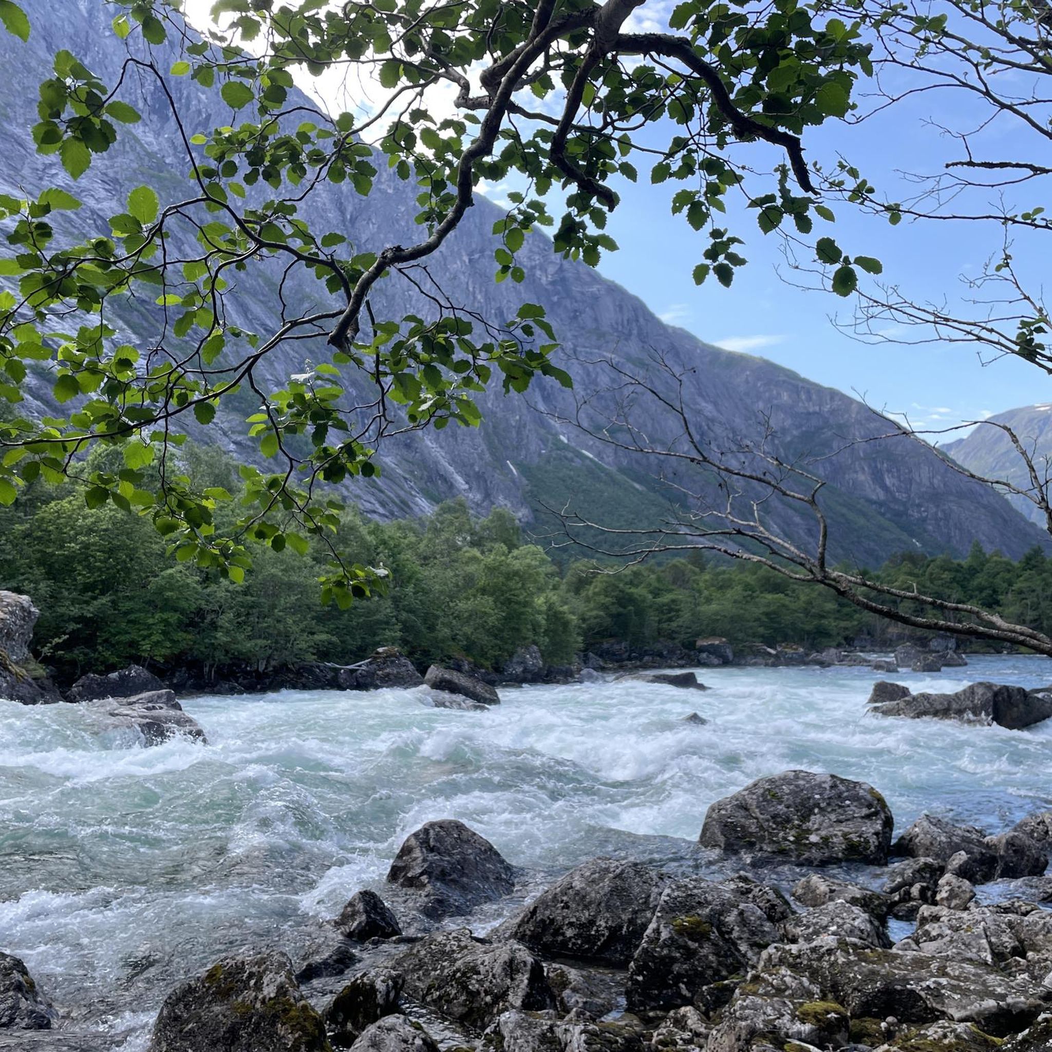
Mountaineering routes in Romsdalen Landskapsvernområde are defined by dramatic and diverse landscapes, featuring towering, steep mountains and deep fjords. The region's geology consists primarily of Precambrian gneiss and granite, forming solid rock ideal for climbing. Iconic peaks like Trollveggen and Romsdalshorn offer challenging ascents and panoramic views. The area also includes the Rauma River valley, with its unique wild landscape and impressive waterfalls.
Best mountaineering routes in Romsdalen Landskapsvernområde
- The most popular mountaineering route is Norafjellet loop from Brekka,…
Last updated: June 27, 2026
5
hikers
5.88km
03:25
860m
860m
Moderate mountaineering route. Good fitness required. Easily-accessible paths. Suitable for all skill levels.
5.0
(2)
5
hikers
2.79km
02:12
340m
340m
Hard mountaineering route. Good fitness required. Sure-footedness, sturdy shoes and alpine experience required.

Sign up for free
5.0
(1)
2
hikers
7.73km
03:06
560m
550m
Hard mountaineering route. Good fitness required. Sure-footedness, sturdy shoes and alpine experience required.
5
hikers
8.32km
04:44
780m
780m
Hard mountaineering route. Good fitness required. Sure-footedness, sturdy shoes and alpine experience required.
5.0
(1)
11
hikers
7.46km
04:14
780m
780m
Hard mountaineering route. Good fitness required. Sure-footedness, sturdy shoes and alpine experience required.
Our route recommendations are based on thousands of hikes, rides, and runs completed by other people on komoot.
Start today with a free account
Your next adventure awaits.
Login or Signup
Tips from the Community

The steep climb is definitely worth it
0
0

From here, you can take the gondola back to the parking lot or the train station.
0
0

The Romsdal Gondola provides an easy way up or down to Nesaksla, opening up intriguing possibilities for a run. There's also the Eggen Restaurant here, a good place for a refuel if you've just run the Romsdalseggen Ridge. The view of Åndalsnes and beyond from up here is sensational.
0
0

The return cable car ride costs €47 per person. Beautiful views from the top.
5
0

Beautiful, and a megaaa view.
2
0


A fantastic view of the town and fjord.
0
0

Simply a magnificent view of the fjord
1
0
Frequently Asked Questions
What is the general difficulty level of mountaineering routes in Romsdalen Landskapsvernområde?
The mountaineering routes in Romsdalen Landskapsvernområde are predominantly challenging, with 7 out of 8 listed routes rated as difficult. There is also one moderate route available. This reflects the region's dramatic and steep mountain terrain, ideal for experienced mountaineers.
Are there any moderate mountaineering routes in Romsdalen Landskapsvernområde?
Yes, there is one moderate mountaineering route available: Norafjellet loop from Brekka. This 3.7-mile (5.9 km) trail offers views of the dramatic mountain landscape and takes approximately 3 hours 25 minutes to complete.
What are some notable natural features or landmarks I might encounter on these routes?
Romsdalen Landskapsvernområde is home to spectacular natural features. You can experience the iconic Trollveggen (The Troll Wall), Europe's tallest vertical mountain wall, or enjoy panoramic views from the Rampestreken Viewpoint, which offers thrilling vistas of the fjords and mountains. The region is also known for its deep fjords and impressive waterfalls, such as Stigfossen and Trollfossen.
What is the typical length and duration of mountaineering routes in this area?
The mountaineering routes in Romsdalen Landskapsvernområde vary in length and duration. For example, the View of Romsdalseggen loop from Grytten kirke is a shorter, difficult 1.7-mile (2.7 km) path, while the Edge of Trollveggen Wall loop from Rauma extends to 6.6 miles (10.6 km) and can take over 5 hours. Most routes are designed for half-day to full-day excursions.
Are there any circular mountaineering routes available?
Yes, several routes in Romsdalen Landskapsvernområde are circular. Examples include the moderate Norafjellet loop from Brekka, the difficult View of Romsdalseggen loop from Grytten kirke, and the Nesaksla Summit (715 m) – Nesaksla Summit loop from Nesaksla.
What is the best time of year for mountaineering in Romsdalen Landskapsvernområde?
The best time for mountaineering in Romsdalen Landskapsvernområde is typically during the warmer months, from late spring to early autumn (June to September). During this period, snow has usually melted from higher elevations, and weather conditions are generally more stable, making the challenging terrain more accessible and safer. Always check local weather forecasts and trail conditions before heading out.
What do other mountaineers enjoy most about the routes in Romsdalen Landskapsvernområde?
The mountaineering routes in Romsdalen Landskapsvernområde are highly rated by the komoot community, with an average score of 5.0 stars from over 9 reviews. Reviewers often praise the dramatic landscapes, the challenging ascents, and the panoramic views of fjords and peaks, especially from trails like the Rampestreken Viewpoint – Nesaksla Summit loop from Åndalsnes.
Are there options for public transport to access mountaineering routes in Romsdalen Landskapsvernområde?
While specific public transport details for each trailhead are not provided, the region around Åndalsnes, often called the 'mountaineering capital,' serves as a central hub. It's advisable to research local bus services or shuttle options from Åndalsnes to reach specific starting points for routes like the Rampestreken Viewpoint – Nesaksla Summit loop from Åndalsnes.
Are there any family-friendly mountaineering options in Romsdalen Landskapsvernområde?
Given that 7 out of 8 routes are rated as difficult, and the remaining one is moderate, most mountaineering routes in Romsdalen Landskapsvernområde are geared towards more experienced hikers. While the region offers diverse terrain, families with young children or those seeking very easy strolls might find these specific mountaineering routes too challenging. However, the area does offer other outdoor activities suitable for families.
What kind of terrain can I expect on these mountaineering routes?
You can expect a variety of challenging terrains, from steep ascents and descents to rocky paths. The geology of Romsdalen is primarily composed of Precambrian gneiss and granite, forming solid, structured rock. Routes like the Nesaksla Summit (715 m) – Nesaksla Summit loop from Nesaksla lead through varied terrain to summit views, often involving significant elevation changes.
Are there any facilities or visitor centers nearby for mountaineers?
Yes, the region, particularly around Åndalsnes, offers excellent facilities for mountaineers. You can find the Norwegian Mountaineering Centre and the Trollveggen Visitor Centre, which provide valuable information about the area's natural environment and history. These centers can be a great resource before embarking on routes such as the Edge of Trollveggen Wall loop from Rauma.
Most popular routes in Romsdalen Landskapsvernområde

Get inspired with the komoot mobile app


Explore more
Browse the best Mountain Hikes & Routes in other regions.
