The best road cycling routes in Tafjorden-Reindalen Landskapsvernområde
4.8
(8)
246
riders
4
rides
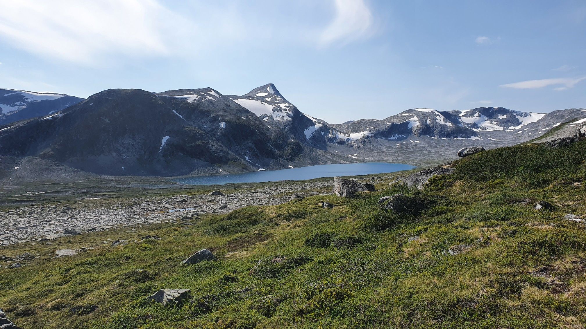
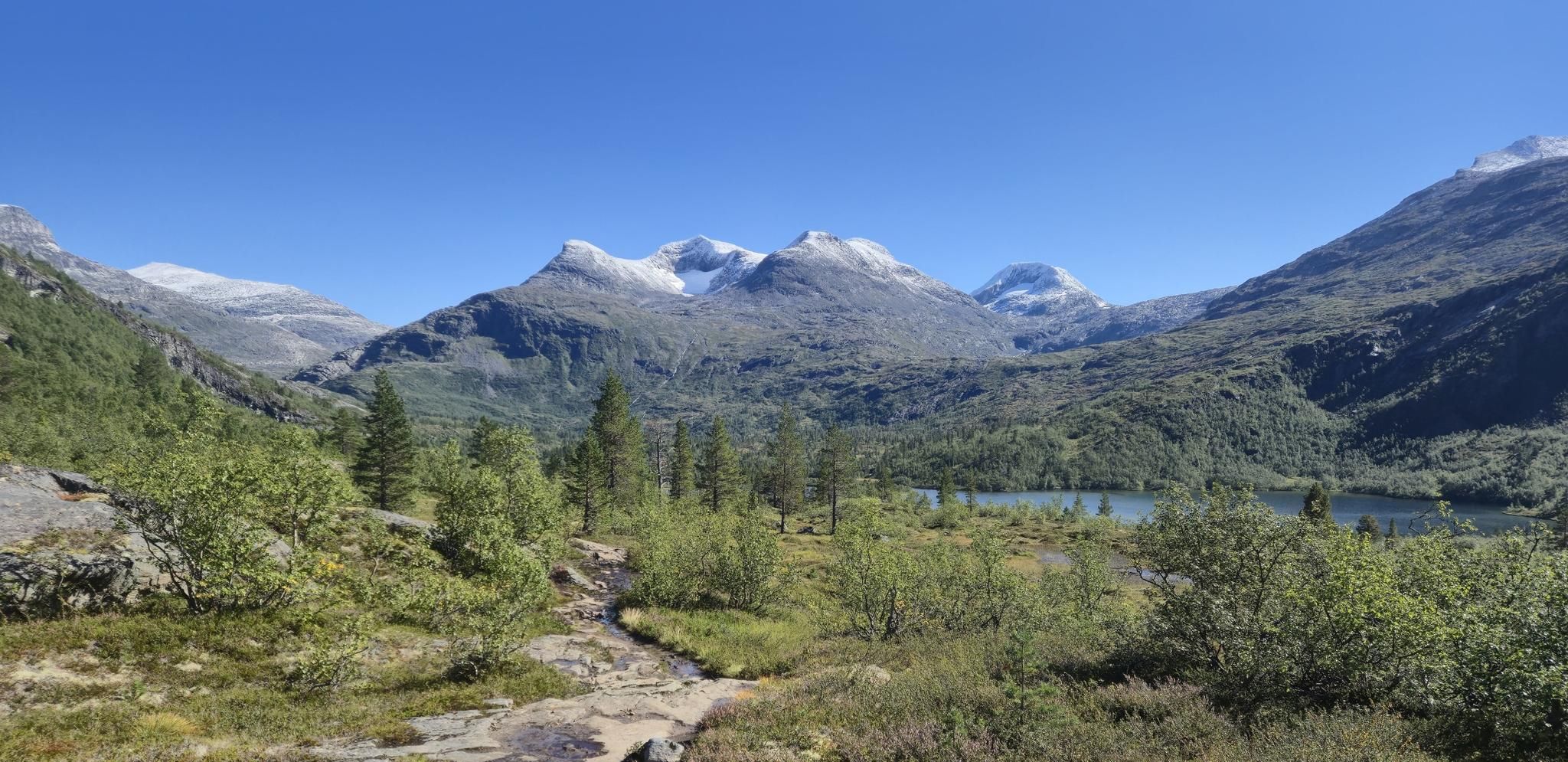
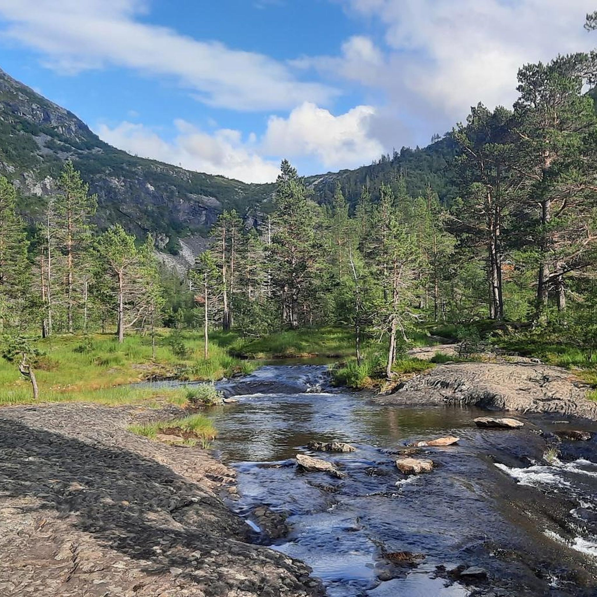
Road cycling routes in Tafjorden-Reindalen Landskapsvernområde traverse a dramatic landscape characterized by deep fjords, high mountain passes, and fertile valleys. The region features significant elevation changes, offering challenging climbs and descents. Cyclists encounter varied terrain, from the head of Tafjorden extending eastward into Rødalen and Kaldhusdalen, to the unique geological formations and lush forests of Reindalen. This area provides a distinct environment for road cycling.
Best road cycling routes in Tafjorden-Reindalen Landskapsvernområde
- The most popular road cycling route is Trollstigen Scenic Road – Troll Statues at Trollstigen loop from Gjerde hytteområde, a 38.0 miles (61.2 km) trail that takes 3 hours 36 minutes to complete. This difficult route features significant elevation gains along the renowned scenic road.
- Another top favourite among local road cyclists is Trollstigen Mountain Pass from Valldal, a difficult 67.5 miles (108.6 km) path. This demanding ride ascends the Trollstigen mountain pass, offering extensive views.
- Local road cyclists also love the Geiranger Harbour – Geiranger Village loop from Sylte kyrkje, a 42.3 miles (68.0 km) trail leading through fjord landscapes, often completed in about 3 hours 49 minutes.
- Road cycling in Tafjorden-Reindalen Landskapsvernområde is defined by dramatic fjords, challenging mountain passes, and scenic valleys. The network offers options for different ability levels, from moderate loops to difficult climbs.
- The routes in Tafjorden-Reindalen Landskapsvernområde are highly rated by the komoot community with an average score of 5.0 stars from over 8 reviews. More than 200 road cyclists have used komoot to explore Tafjorden-Reindalen Landskapsvernområde's varied terrain.
Last updated: July 15, 2026
5.0
(5)
142
riders
58.0km
03:24
1,420m
1,420m
Hard road ride. Very good fitness required. Mostly well-paved surfaces and easy to ride.
4.5
(2)
67
riders
109km
05:41
1,980m
1,980m
Hard road ride. Very good fitness required. Mostly well-paved surfaces and easy to ride.

Sign up for free
5.0
(1)
32
riders
76.7km
04:29
1,850m
1,850m
Hard road ride. Very good fitness required. Mostly well-paved surfaces and easy to ride.
5
riders
34.7km
01:32
330m
330m
Moderate road ride. Good fitness required. Mostly well-paved surfaces and easy to ride.
Our route recommendations are based on thousands of hikes, rides, and runs completed by other people on komoot.
Start today with a free account
Your next adventure awaits.
Login or Signup
Popular around Tafjorden-Reindalen Landskapsvernområde
Other adventures in Tafjorden-Reindalen Landskapsvernområde

Tips from the Community

Well done on the Trollstiegen pass
0
0

Partly busy, quite a few souvenir shops 🤙
0
1

Wonderful view of the breathtaking landscape!
3
0
The Knuten (German: Knoten, meaning knot) is a former road loop that spanned a change in elevation. The bridge was built without mortar from natural stone and still stands today. In modern times, a shorter and wider road was driven through the rock next to it, rendering the Knuten obsolete and leaving it as a historical relic. It's worth making a short stop here to admire this ancient engineering, especially since this "lost place" in the middle of nature has a special charm.
3
0

Facts about the Geirangerfjord The fjord is 15 km long, 1.5 km wide at its widest point, and 700 m deep at its deepest point. The area, which has been declared a UNESCO World Heritage Site, covers 498 km² and includes the fjord and the surrounding areas in the Stranda and Norddal counties.
1
0
Numerous waterfalls and free-flowing rivers, deciduous and coniferous woodlands and forests, glacial lakes, glaciers, rugged mountains and a range of other natural attributes combine towards making Geirangerfjord and Nærøyfjord among the most scenically outstanding landscapes in the world.
1
0

The climb from Andalsnes is closed until July 14, 2025, due to landslide repairs, but the south side of Trollstigen is open up to the viewpoint. On a clear day, you can see the switchbacks – a must-see on any 🇳🇴 trip!
0
0

An interesting traditional village with a stunning rapid river. Every house is made of wood, and in the setting of the mountains, you'll feel like you've stepped back in time.
0
0
Frequently Asked Questions
What is the general difficulty level of road cycling routes in Tafjorden-Reindalen Landskapsvernområde?
Road cycling in Tafjorden-Reindalen Landskapsvernområde is generally challenging, characterized by significant elevation changes and mountain passes. Most routes are rated as difficult, with one moderate option available. For example, the Trollstigen Mountain Pass from Valldal is a demanding ride with extensive views.
Are there any circular road cycling routes in the area?
Yes, Tafjorden-Reindalen Landskapsvernområde offers several circular road cycling routes. You can explore options like the Trollstigen Scenic Road – Troll Statues at Trollstigen loop from Gjerde hytteområde, which features significant elevation gains, or the Geiranger Harbour – Geiranger Village loop from Sylte kyrkje, which takes you through stunning fjord landscapes. There is also a Roadbike loop from Valldal for a moderate option.
What kind of scenery can I expect while road cycling in Tafjorden-Reindalen Landskapsvernområde?
You can expect dramatic and diverse scenery, ranging from deep fjords to high mountain passes and lush, fertile valleys. The region is known for its characteristic geology, unique flora, and ancient pine forests. Routes often provide breathtaking fjord views and opportunities to see impressive landforms.
What are some notable natural features or attractions along the road cycling routes?
While cycling, you'll encounter the dramatic landscapes of the Tafjordfjella mountains. The region is home to unique geological formations and a rich botanical diversity, particularly in areas like Daurmålsfjellet. You might also catch glimpses of the Reindalen Valley, known for its ancient pines and vibrant wildlife, and potentially the impressive Reindalsfossen waterfall.
Are there any historical or cultural sites to see while road cycling?
Yes, the Reindalen Valley, central to the protected area, has a rich history of logging and sawmilling. You can find two restored old sawmills, Jacobsaga and Reindalssaga, which stand as important cultural monuments. Remnants of an old cable car system, once used for transporting timber, can also be found.
Is Tafjorden-Reindalen Landskapsvernområde suitable for beginner road cyclists or families?
The road cycling routes in Tafjorden-Reindalen Landskapsvernområde are generally challenging, with most rated as difficult due to significant elevation gains and mountain passes. There is one moderate route, the Roadbike loop from Valldal, which might be more accessible for those with less experience or looking for a less strenuous ride. However, the region is primarily known for its demanding terrain.
What is the best time of year for road cycling in this region?
The best time for road cycling in Tafjorden-Reindalen Landskapsvernområde is typically during the warmer months, from late spring to early autumn. This avoids snow and ice on the high mountain passes and ensures more favorable weather conditions for cycling. Always check local weather forecasts before heading out.
Are there places to stop for refreshments or amenities along the routes?
While specific cafes directly on all road cycling routes are not detailed, the Reindalseter mountain lodge, a key hub in the broader Tafjordfjella area, offers amenities such as a cafe, electricity, and hot showers. It's advisable to carry sufficient water and snacks, especially on longer or more remote routes.
What do other road cyclists enjoy most about road cycling in Tafjorden-Reindalen Landskapsvernområde?
The area is highly rated by the komoot community, with an average score of 5.0 stars. Cyclists frequently praise the dramatic landscapes, challenging climbs, and the unique experience of riding through deep fjords and high mountain passes. The stunning views and varied terrain are often highlighted as key attractions.
How many road cycling routes are available in Tafjorden-Reindalen Landskapsvernområde?
There are four distinct road cycling routes available in Tafjorden-Reindalen Landskapsvernområde, offering a range of distances and elevation gains for different levels of challenge.
Where can I find parking for road cycling trails in Tafjorden-Reindalen Landskapsvernområde?
Specific parking locations are often available near the starting points of popular routes, such as Gjerde hytteområde or Valldal, which serve as common access points for rides like the Trollstigen Scenic Road loop or the Trollstigen Mountain Pass from Valldal. It is recommended to check local information for designated parking areas at your chosen starting point.
Most popular routes in Tafjorden-Reindalen Landskapsvernområde
Most popular attractions in Tafjorden-Reindalen Landskapsvernområde

Get inspired with the komoot mobile app


Explore more
Browse the best Road cycling routes in other regions.
