The best walks and hikes in Stordalen
4.4
(1416)
7,710
hikers
59
hikes
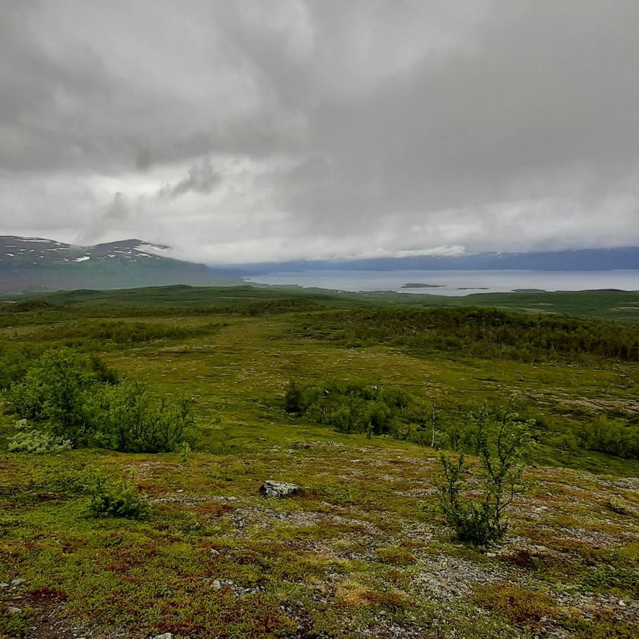
Hiking in Stordalen offers diverse landscapes, from mountainous terrain with high plateaus and waterfalls to subarctic environments featuring small lakes and extensive mires. The region is characterized by its varied natural features, including canyons, rivers, and unique permafrost formations. Trails traverse both the Norwegian section, known for fjords and dense birdlife, and the Swedish side, which presents a more arctic-influenced landscape. This geographical diversity provides a range of hiking experiences for different skill levels.
Best hiking trails in Stordalen
- The…
Last updated: October 14, 2026
4.7
(146)
599
hikers
17.6km
04:36
120m
120m
Moderate hike. Good fitness required. Easily-accessible paths. Suitable for all skill levels.
4.8
(135)
675
hikers
11.7km
03:07
120m
120m
Moderate hike. Good fitness required. Easily-accessible paths. Suitable for all skill levels.

4.8
(10)
85
hikers
16.5km
06:00
820m
820m
Hard hike. Very good fitness required. Mostly accessible paths. Sure-footedness required.
4.1
(11)
150
hikers
Easy hike. Great for any fitness level. Easily-accessible paths. Suitable for all skill levels.
4.0
(5)
10
hikers
7.65km
02:07
140m
140m
Moderate hike. Good fitness required. Easily-accessible paths. Suitable for all skill levels.
Get access to more routes and recommendations from other explorers.
Already have an account?
Our route recommendations are based on thousands of hikes, rides, and runs completed by other people on komoot.
Tips from the Community

The trail can be very muddy during raining season.
0
0

As of June 2026, the wooden planks have largely been removed; instead, there is now a rough gravel path.
0
0

You'll likely ski by the bridges in the winter as you cross the frozen streams, which is a fun thing to see.
0
0

Outstandingly beautiful view, easy to reach! :)
0
0

Beautiful view of the mountains and nice wooden walkway
0
0

Great visitor center and cabin at the national park!
0
0

It is worth taking a short break in the middle of the bridge and enjoying the excellent view over the wild river landscape!
0
0

Great place that forms the gateway to the Kungsleden!
0
0
Frequently Asked Questions
How many hiking trails are available in Stordalen?
Stordalen offers a wide selection of hiking opportunities, with over 50 routes available. These trails cater to various skill levels, from easy walks to more challenging expeditions across diverse landscapes.
What types of terrain can I expect on Stordalen's hiking trails?
Stordalen's terrain is remarkably diverse. In the Norwegian section, you'll find varied mountainous landscapes with high plateaus, fjords like Innvikfjord, and dense grey alder forests. The Swedish side, in contrast, features subarctic environments with small lakes, extensive mires, and unique permafrost formations. You can also encounter canyons and rivers throughout the region.
Are there any family-friendly hiking options in Stordalen?
Yes, Stordalen has several trails suitable for families. For an easy and accessible walk, consider the Abisko East Train Station – STF Abisko Mountain Station loop from Abisko Östra, which is 3.2 miles (5.1 km) long and takes about 1 hour 20 minutes. A shorter version of the Tvinnefossen Waterfall loop, 2.2 miles (3.5 km), is also suitable for families.
Where can I find trails with waterfalls or scenic viewpoints?
Stordalen is known for its impressive waterfalls and stunning views. The Norwegian section features waterfalls like Tvinnefossen and Holvikfossen. For a trail that includes both, try the 4.4-mile (7.1 km) Holvikfossen Skywalk – Holvikfossen Waterfall loop. Peaks like Mount Røyrdalsfjellet (894 m) and Geitenakken (987 m) offer extensive views, including distant glaciers and the North Sea.
Are there any circular hiking routes in Stordalen?
Yes, Stordalen offers several excellent loop trails. A popular moderate option is the Abiskojåkka Canyon – Meditation spot Abiskojokk loop from Abisko Östra, which is 10.9 miles (17.6 km) and provides scenic views through the canyon. Another loop, the Meditation spot Abiskojokk – Abiskojåkka Canyon loop from Abisko Östra, covers 11.6 km with similar moderate difficulty.
What is the best time of year to go hiking in Stordalen?
The best time for hiking in Stordalen is typically during the warmer months, from late spring to early autumn, when trails are clear of snow and the weather is most favorable. This period allows full access to the diverse landscapes, from mountainous areas to mires, and offers the best conditions for enjoying waterfalls and viewpoints.
Are there any historical sites or landmarks to explore while hiking?
Yes, Stordalen has a rich history intertwined with its natural beauty. The Stordalen Mountain Lodge, which has hosted hikers since 1936, served as a headquarters for the Bjørn West resistance group during World War II. Trails in the area incorporate significant historical stops and memorials related to these wartime events, allowing you to experience both nature and history. You can learn more at the Bjørn West Museum or find information about a specific hike at Visit Norway.
Can I see glaciers or glacial features in Stordalen?
While Stordalen itself doesn't host large accessible glaciers directly on its hiking trails, you can enjoy views of distant glaciers from peaks like Geitenakken (987 m). For a more direct glacier experience, the Haugabreen glacier, located in the inner part of Stardalen (near Jølster) within the Jostedalsbreen National Park, offers glacier hiking opportunities to explore ice caves and formations.
What do other hikers say about the trails in Stordalen?
The hiking routes in Stordalen are highly regarded by the komoot community, holding an impressive average rating of 4.5 stars from over 1400 reviews. Hikers often praise the region's diverse landscapes, from dramatic canyons to subarctic mires, and the variety of trails suitable for different ability levels.
Are there challenging hikes for experienced trekkers?
Absolutely. For experienced hikers seeking a challenge, Stordalen offers difficult routes with significant elevation gain. A prime example is the Abiskojåkka Canyon – Nuolja Summit (1,169 m) loop from Abisko Östra. This 10.3-mile (16.5 km) trail takes approximately 6 hours to complete and features a substantial ascent to the Nuolja Summit.
Are there any trails that offer views of unique natural features like permafrost?
Yes, the Swedish section of Stordalen Naturreservat is notable for its subarctic environments, which include extensive mires and unique permafrost formations known as palsar. While specific trails highlighting these features aren't listed, exploring this side of the region will bring you closer to these distinct natural phenomena.
Most popular routes in Stordalen

Get inspired with the komoot mobile app


Explore more
Browse the best Hikes in other regions.
