The best cycling routes in Mapleton National Park
5.0
(1)
53
riders
9
rides
Touring cycling in Mapleton National Park offers routes through varied terrain, characterized by dense eucalypt forests, open woodlands, and scenic hinterland. The park features undulating landscapes with significant elevation changes, providing challenging climbs and descents. Waterways and creeks are present, contributing to the natural environment.
Best touring cycling routes in Mapleton National Park
- The most popular touring cycling route is Point Glorious Lookout loop from Cooloolabin Dam Spillway, a 12.7 miles (20.4 km) trail that takes 2 hours 5…
Last updated: July 4, 2026
2
riders
20.4km
02:05
330m
330m
Moderate bike ride. Good fitness required. Mostly paved surfaces. Suitable for all skill levels.
2
riders
63.1km
04:37
1,170m
1,170m
Hard bike ride. Very good fitness required. Mostly paved surfaces. Suitable for all skill levels.

Sign up for free
3
riders
93.6km
06:17
1,400m
1,400m
Hard bike ride. Very good fitness required. Mostly paved surfaces. Suitable for all skill levels.
2
riders
21.9km
01:43
330m
330m
Moderate bike ride. Good fitness required. Mostly paved surfaces. Suitable for all skill levels.
1
riders
38.6km
02:43
760m
760m
Hard bike ride. Very good fitness required. Mostly paved surfaces. Suitable for all skill levels.
Get access to more routes and recommendations from other explorers.
Sign up for free
Already have an account?
Our route recommendations are based on thousands of hikes, rides, and runs completed by other people on komoot.
Start today with a free account
Your next adventure awaits.
Login or Signup
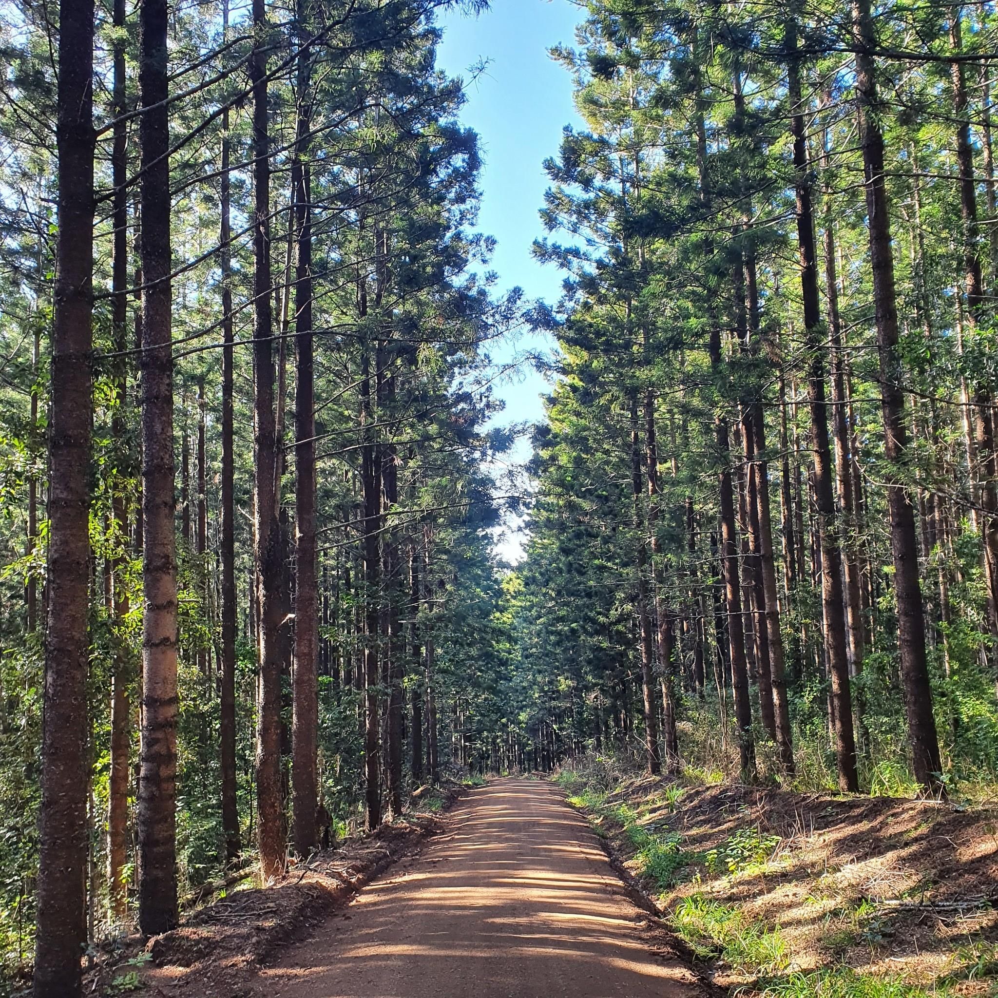
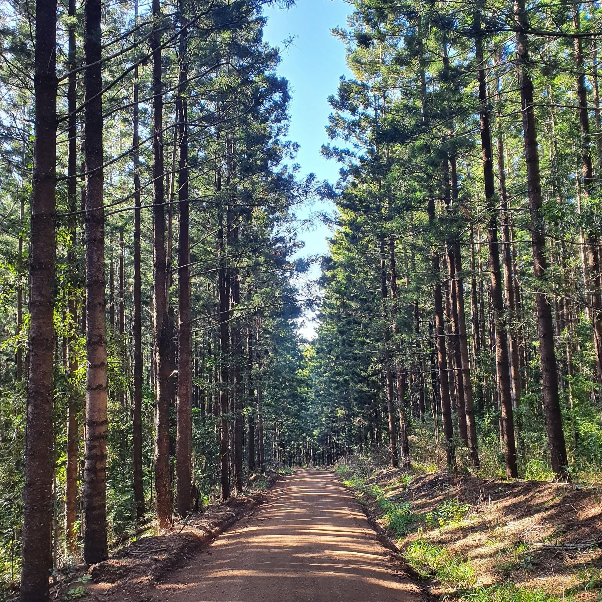
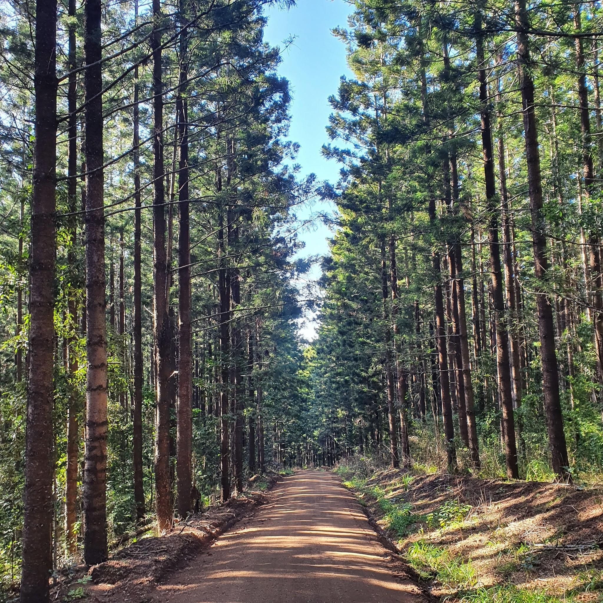
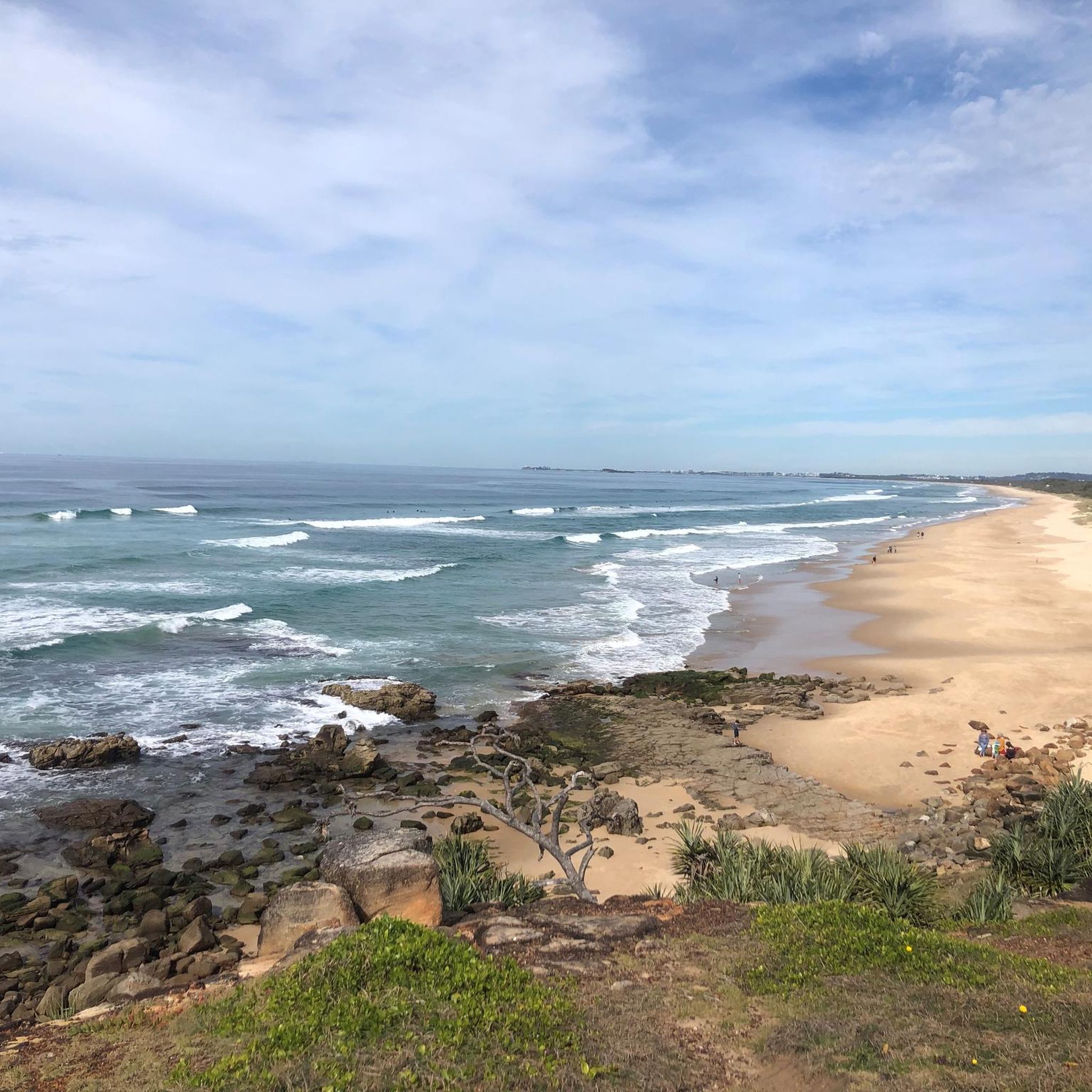
Tips from the Community

Beautiful views of the Glasshouse mountains. From the back behind you you can also get a coffee and cake.
0
0
6km long climb. This is a popular local climb used by many cyclists as it offers both great views of the area and the coast, while also being one of the few climbs in the area that is both long and steady enough to be achievable by the majority of riders, and replicating more European style climbs.
2
0


The easy climb to Montville. Relatively long with about 6 km but very even and with a relatively constant 5-6 percent easy to drive. Never steeper than 7 percent. If you like it more demanding, you should take the Hunchy Road, which I took downhill. Scenic very beautiful with great views.
3
0
Frequently Asked Questions
What is the overall difficulty level of touring cycling routes in Mapleton National Park?
Mapleton National Park offers a range of touring cycling routes, primarily catering to moderate and difficult skill levels. There are 4 moderate routes and 6 difficult routes available, characterized by undulating landscapes and significant elevation changes through eucalypt forests and open woodlands.
Are there any long-distance touring cycling routes in Mapleton National Park?
Yes, Mapleton National Park features several long-distance touring routes. For instance, the Le Relais Bressan loop from Kenilworth is a challenging 58.2-mile (93.6 km) trail, often taking over 6 hours to complete. Another substantial option is the Le Relais Bressan loop from Mapleton, which covers 39.2 miles (63.1 km) with significant elevation gain.
What kind of terrain can I expect on touring bike trails in Mapleton National Park?
The terrain in Mapleton National Park is diverse, featuring dense eucalypt forests, open woodlands, and scenic hinterland. Cyclists should be prepared for undulating landscapes with significant elevation changes, including challenging climbs and descents. Waterways and creeks are also present, adding to the natural environment.
Are there any circular touring cycling routes available?
Yes, many of the touring cycling routes in Mapleton National Park are designed as loops. A popular moderate option is the Point Glorious Lookout loop from Cooloolabin Dam Spillway, a 12.7-mile (20.4 km) trail offering scenic views. For a more challenging loop, consider the Montville Climb – Le Relais Bressan loop from Headwaters Nature Refuge.
What is the best time of year for touring cycling in Mapleton National Park?
While specific seasonal recommendations can vary, the region generally experiences a subtropical climate. It's advisable to check local weather conditions before your ride, especially during the warmer, wetter months, and to be prepared for varying conditions due to the park's elevation changes.
What do other touring cyclists say about the routes in Mapleton National Park?
The touring cycling routes in Mapleton National Park are highly regarded by the komoot community, holding an average score of 5.0 stars from 1 review. Over 60 touring cyclists have used komoot to explore the park's varied terrain, appreciating the challenging topography and natural beauty.
Are there any routes suitable for beginners or families?
The touring cycling routes in Mapleton National Park are generally categorized as moderate to difficult, with no routes specifically listed as 'easy'. The park's undulating landscapes and significant elevation changes mean that even moderate routes like the Maroochy Forest Reserve 2 – Farrell Street Reserve loop from Yandina will require a reasonable level of fitness and experience.
Where can I find parking for touring bike trails in Mapleton National Park?
Specific parking information for each trailhead is typically detailed on individual route pages. For example, the Point Glorious Lookout loop starts from Cooloolabin Dam Spillway, suggesting parking availability in that area. Always check the route details on komoot for the most accurate starting point and parking suggestions.
Are there any specific viewpoints or scenic spots along the touring routes?
Yes, several routes offer notable viewpoints. The Point Glorious Lookout loop, as its name suggests, provides views over the surrounding landscape. The park's elevated sections and open woodlands often present opportunities for panoramic vistas of the hinterland.
What should I know about wildlife when touring cycling in Mapleton National Park?
Mapleton National Park is home to diverse wildlife within its eucalypt forests and woodlands. Cyclists may encounter various bird species and other native animals. It's always recommended to ride cautiously, especially at dawn and dusk, and to respect the natural habitat by keeping a safe distance and not disturbing wildlife.
How many touring cycling routes are available in Mapleton National Park?
There are 10 touring cycling routes available in Mapleton National Park on komoot, offering a variety of experiences for cyclists. These routes range in difficulty from moderate to difficult, providing options for different skill levels.
Most popular routes in Mapleton National Park

Get inspired with the komoot mobile app


Explore more
Browse the best Cycling routes in other regions.
