The best walks and hikes in Smithfield Conservation Park
4.5
(56)
661
hikers
23
hikes
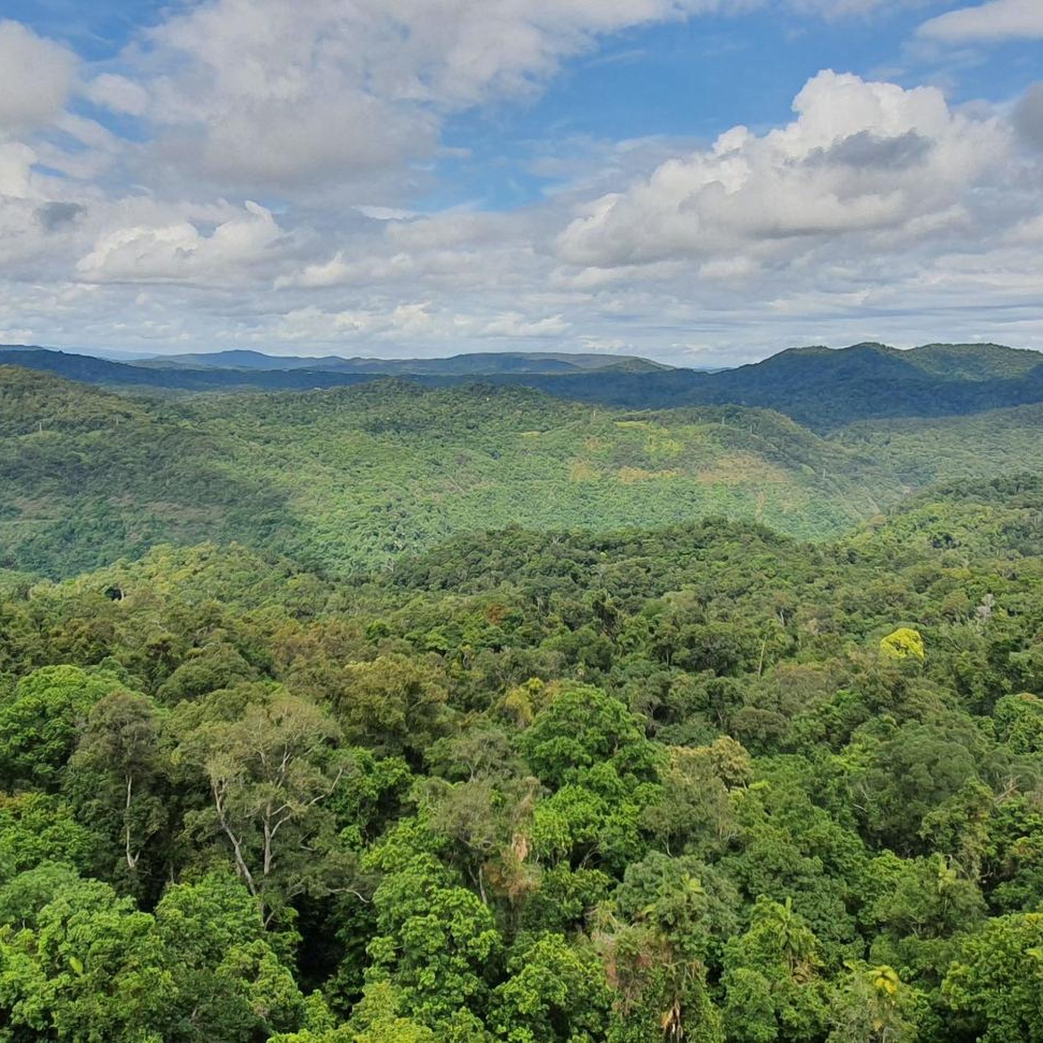
Hiking in Smithfield Conservation Park offers diverse landscapes, from flat alluvial plains to steep ridges ascending approximately 350 meters. The park features a mix of tropical rainforest gullies, sclerophyll, and woodland forests. Eucalypt woodland is common on metamorphic soils, while vine forests thrive in damper regions. This varied terrain provides a scenic backdrop to Trinity Beach and the Smithfield suburbs.
Best hiking trails in Smithfield Conservation Park
- The most popular hiking route is Palm Cove Beach loop from Trinity Beach, a 6.5 miles (10.4 km) trail that takes 2 hours 38 minutes to complete, offering views across the coastal plains.
- Another top favourite among local hikers is Earl Hill Conservation Park loop from Trinity Park, an easy 3.3 miles (5.3 km) path that winds through foothills and diverse forest types.
- Local hikers also love the Hiking loop from Trinity Beach, a 6.3 miles (10.1 km) trail leading through varied terrain including coastal areas and forested sections, often completed in about 2 hours 52 minutes.
- Hiking in Smithfield Conservation Park is defined by steep vegetated ridges, lush rainforest gullies, and eucalypt woodlands. The network offers options for different ability levels, from easily accessible paths to routes requiring good fitness.
- The routes in Smithfield Conservation Park are highly rated by the komoot community with an average score of 4.6 stars from over 50 reviews. More than 650 hikers have used komoot to explore Smithfield Conservation Park's varied terrain.
Last updated: June 26, 2026
1
hikers
8.17km
02:24
230m
230m
Moderate hike. Good fitness required. Easily-accessible paths. Suitable for all skill levels.
14
hikers
10.4km
02:38
20m
20m
Moderate hike. Good fitness required. Easily-accessible paths. Suitable for all skill levels.

Sign up for free
4.4
(7)
74
hikers
5.35km
01:39
200m
200m
Easy hike. Great for any fitness level. Easily-accessible paths. Suitable for all skill levels.
58
hikers
4.19km
01:20
180m
180m
Easy hike. Great for any fitness level. Easily-accessible paths. Suitable for all skill levels.
4.0
(1)
8
hikers
10.1km
02:52
220m
220m
Moderate hike. Good fitness required. Easily-accessible paths. Suitable for all skill levels.
Get access to more routes and recommendations from other explorers.
Sign up for free
Already have an account?
Our route recommendations are based on thousands of hikes, rides, and runs completed by other people on komoot.
Start today with a free account
Your next adventure awaits.
Login or Signup
Tips from the Community

Flat Snake is one of the easier green-rated trails in Smithfield Conservation Park, winding through lower rainforest sections and flatter terrain beneath dense tropical canopy. Despite the easier rating, the trail still includes roots, rocks, logs, and small obstacles typical of the Smithfield network, especially after wet weather when surfaces become slippery.
0
0
Smithfield Conservation Park protects tropical rainforest, eucalypt woodland, ridgelines, and gullies on the lower slopes north of Cairns. The park is popular with walkers and mountain bikers thanks to its extensive shared trail network winding through dense forest and steep terrain beneath the Wet Tropics canopy. Trails range from beginner-friendly green routes to more technical climbs and descents deeper in the park.
0
0
Pipeline Track is one of the more challenging trails in the Smithfield network, climbing and descending through dense rainforest with steeper gradients, flowing turns, and long uninterrupted forest sections. Originally designed as a mountain biking trail, it passes through some of the park’s thickest tropical vegetation and can become extremely slippery in wet weather.
0
0

Acacia walking track is the main access route into Earl Hill Conservation Park, beginning at the Flagship Drive trailhead and winding through beautiful open woodland. As it ascends, the track connects to a network of trails leading toward the summit of Earl Hill and coastal lookouts with views over Trinity Beach. It’s a rewarding introduction to the park, with glimpses of the coast coming into view as you gain elevation.
0
0
Earl Hill Conservation Park protects a coastal headland and surrounding bushland just north of Cairns in Far North Queensland. The walking tracks in the park climb to the summit of Earl Hill, where sweeping views extend across Trinity Bay, the northern beaches and nearby rainforest-covered ranges. With a mix of open woodland and coastal vegetation, it’s a short but rewarding escape where you can immerse yourself in the region’s beautiful tropical landscape.
0
0
Trinity Beach lookout is a picturesque viewpoint along the Earl Hill walking track overlooking the coastline north of Cairns. From the lookout, the views extend across Trinity Beach and the Coral Sea, with the curve of the shoreline framed by coastal vegetation. It’s a popular stopping point along the trail, offering a clear view of the beach and surrounding headlands below.
0
0
Earl Hill Summit is the highest point within Earl Hill Conservation Park, reached via a short but relatively steep walking track through coastal bushland. From the top, you can enjoy panoramic views that stretch across Trinity Bay, Double Island and the northern beaches, with the rainforest-clad ranges rising inland. This exposed summit is a rewarding vantage point over Cairns’ beautiful northern coastline and the surrounding landscape.
0
0

Very worth seeing, you have to see it
0
0
Frequently Asked Questions
How many hiking trails are there in Smithfield Conservation Park?
Smithfield Conservation Park offers a good selection of routes for hikers, with over 20 trails available. These range from easy strolls to more challenging treks through diverse landscapes.
Are there any easy hiking trails suitable for beginners in Smithfield Conservation Park?
Yes, the park has plenty of easy options. For a pleasant walk through foothills and diverse forest types, consider the Earl Hill Conservation Park loop from Trinity Park, which is 5.3 km long. Another accessible choice is the Hiking loop from Trinity Park, covering 4.3 km.
What kind of landscapes can I expect to see while hiking in Smithfield Conservation Park?
Hikers will experience a rich variety of landscapes, from flat alluvial plains along Atika and Moon creeks to steep ridges ascending up to 350 meters. The park features lush tropical rainforest gullies, sclerophyll, and woodland forests, with eucalypt woodlands on metamorphic soils and vine forests in damper areas. These diverse environments provide a scenic backdrop to Trinity Beach and the Smithfield suburbs.
Are there any challenging trails for experienced hikers?
Yes, for those seeking a challenge, the Saddle Mountain walk is a notable option. While not listed as a specific komoot tour in this guide, it's known for its grueling but rewarding trek up to the meteorological tower, offering stunning views. The park's terrain includes steep vegetated ridges that will test your fitness.
What kind of wildlife can I spot in Smithfield Conservation Park?
The park is a haven for wildlife, especially birds. It's home to fifty resident and migratory bird species, including the near-threatened Australian swiftlet and the vulnerable Macleay's fig-parrot, making it an excellent spot for birdwatching.
Are there any circular walks available in Smithfield Conservation Park?
Many of the trails in Smithfield Conservation Park are designed as loops. For example, the South End of Trinity Beach – Trinity Beach loop from Trinity Beach is an easy 2.3 km circular route perfect for a shorter outing.
What do other hikers say about Smithfield Conservation Park?
The area is highly rated by the komoot community, with an average score of 4.6 stars from over 50 reviews. Hikers often praise the diverse terrain, from coastal sections to forested areas, and the variety of options available for different fitness levels.
Are there any unique attractions or points of interest within the park?
Beyond the natural beauty, visitors can discover unique artworks, such as 'See no evil, Hear no evil, Speak no no evil,' adding an intriguing cultural element to the outdoor experience.
Is Smithfield Conservation Park suitable for families with children?
Yes, with 14 easy trails, the park offers many options suitable for families. These paths wind through diverse forest types and offer accessible experiences for various fitness levels, making it a great place for a family outing.
Can I bring my dog on the hiking trails in Smithfield Conservation Park?
For information regarding pet policies and specific trail access for dogs, it's best to consult the official park authority website. You can find more details on their site: Queensland Parks and Wildlife Service.
What is the best time of year to go hiking in Smithfield Conservation Park?
The region experiences a tropical climate. While specific recommendations vary, generally the cooler, drier months (typically May to October) are preferred for hiking to avoid the intense heat and humidity of the wet season. However, the park's creek system is noted for thriving even post-Cyclone Jasper, indicating its resilience year-round.
Are there any trails that offer coastal views?
Yes, several trails provide coastal perspectives. The Palm Cove Beach loop from Trinity Beach, a 10.4 km moderate trail, offers views across the coastal plains. The park's steep ridges also provide an important scenic backdrop to Trinity Beach.
Most popular routes in Smithfield Conservation Park

Get inspired with the komoot mobile app


Explore more
Browse the best Hikes in other regions.
