The best walks and hikes around Herren-Sulzbach
4.5
(1426)
4,629
hikers
307
hikes
Hiking around Herren-Sulzbach offers diverse routes through the picturesque Kusel region of Germany. The area is characterized by gentle hills and dense forests, providing a scenic backdrop for outdoor activities. Situated on a mountain slope, the village itself contributes to the varied terrain, with trails leading through woodlands and offering views of the surrounding landscape. This region in Rhineland-Palatinate is known for its natural environment, supporting a range of flora and fauna.
Best hiking trails around Herren-Sulzbach
- The most popular…
Last updated: October 16, 2026
4.3
(6)
28
hikers
9.22km
02:35
180m
180m
Moderate hike. Good fitness required. Easily-accessible paths. Suitable for all skill levels.
4.7
(3)
24
hikers
4.56km
01:18
100m
100m
Easy hike. Great for any fitness level. Easily-accessible paths. Suitable for all skill levels.

5.0
(3)
4
hikers
5.99km
01:42
140m
140m
Easy hike. Great for any fitness level. Easily-accessible paths. Suitable for all skill levels.
3
hikers
10.5km
02:56
210m
210m
Moderate hike. Good fitness required. Easily-accessible paths. Suitable for all skill levels.
5.0
(1)
6
hikers
7.89km
02:14
170m
170m
Moderate hike. Good fitness required. Easily-accessible paths. Suitable for all skill levels.
Get access to more routes and recommendations from other explorers.
Already have an account?
Our route recommendations are based on thousands of hikes, rides, and runs completed by other people on komoot.
Start today with a free account
Your next adventure awaits.
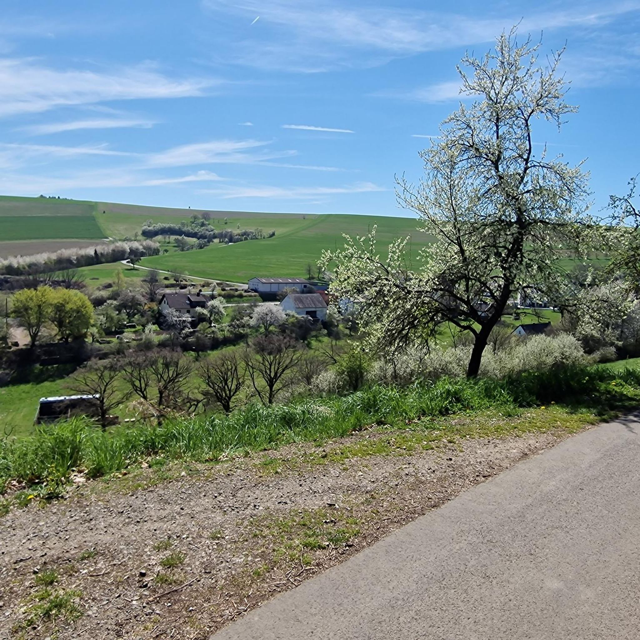
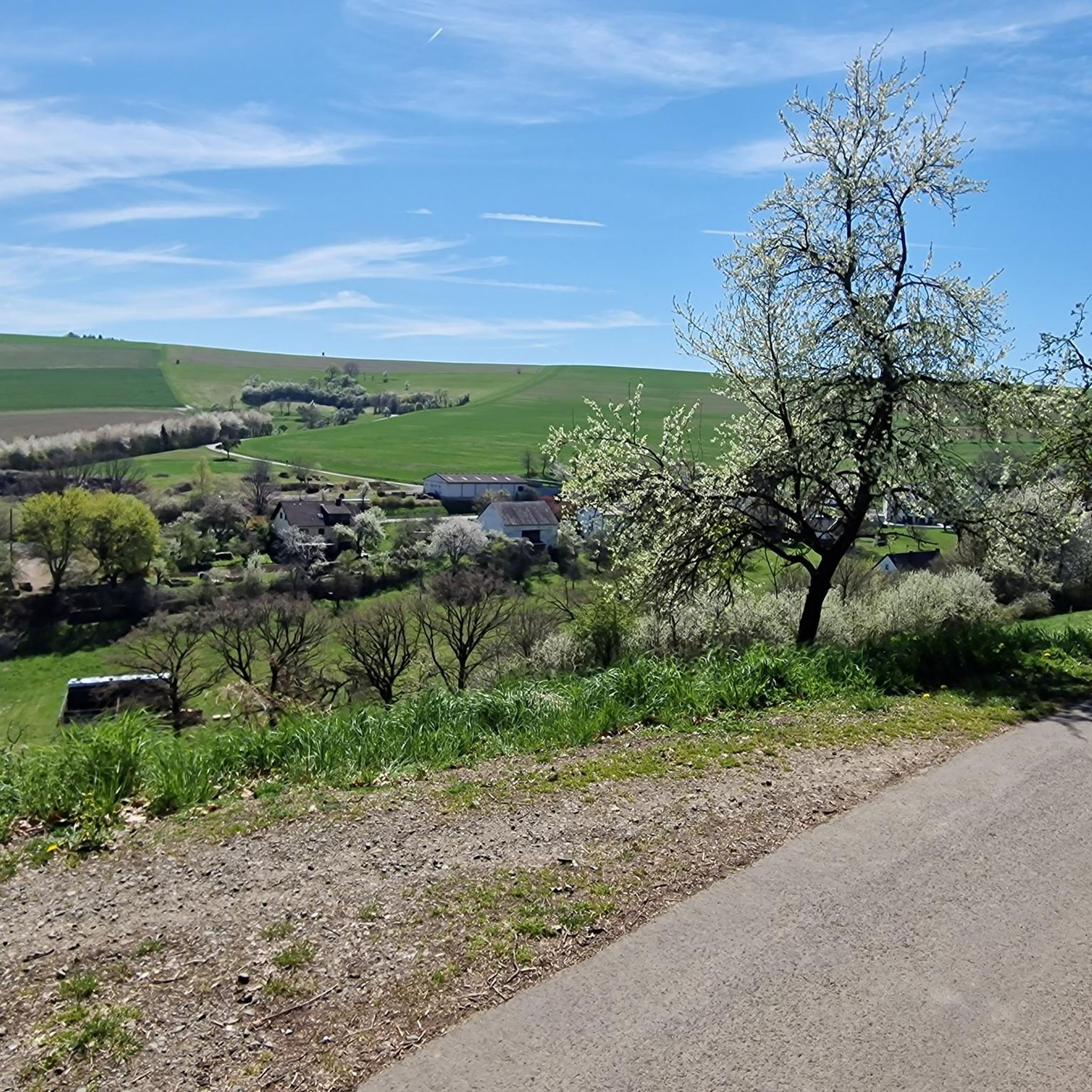
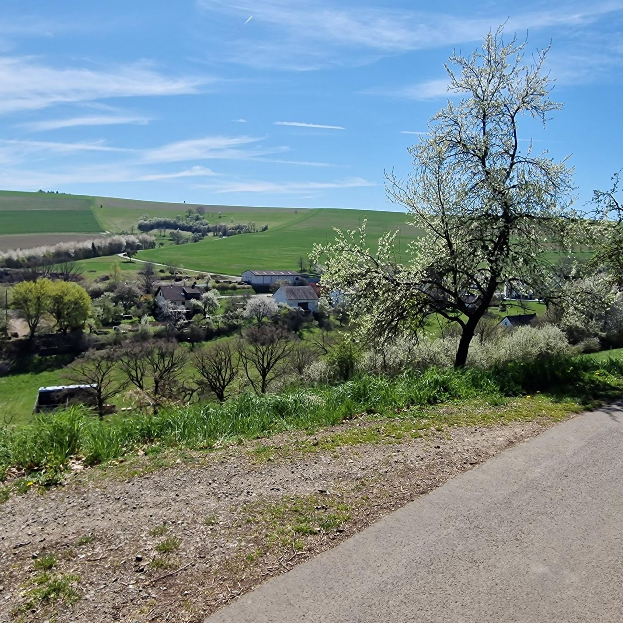
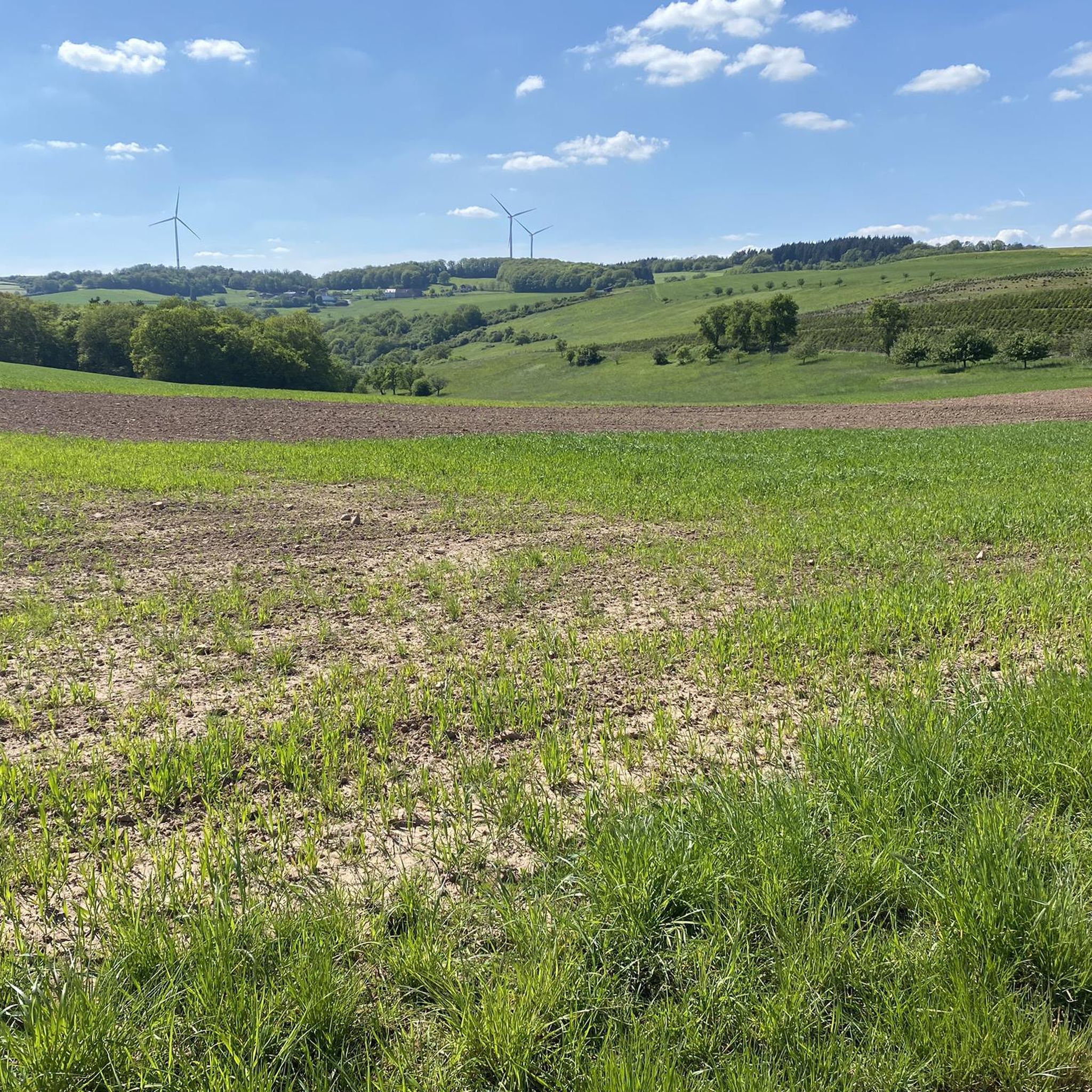
Tips from the Community

Schloß Platz, access to the Grumbach quarry
0
0


The bridge over the Glan connects the old town centre of Wiesweiler to the left of the Glan with the former independent village of Berschweiler to the right of the Glan in the area of the mill.
1
0
Nice rest area with a table and benches at the trolley track.
0
0
Two-part plastered building, built 1970–74. Architects Heinrich Otto Vogel, Trier, and W. Simon, Wiesweiler. Neighboring portal, marked 1819. Romanesque choir tower, Roman spolia. Source: Wikipedia
0
0
There is only a short distance uphill from the Wiesweiler cemetery and you stand as an amazed observer in front of a rarity of our local tree world. These are two mulberry trees, also called “Maugelscher” in the village, which, given their size, are rarely found in this country. Source: https://wiesweiler.de/maulbeerbaeume/
1
0

Frequently Asked Questions
How many hiking trails are available around Herren-Sulzbach?
Herren-Sulzbach offers a wide variety of hiking opportunities, with over 300 routes to explore. These trails cater to different preferences, ranging from easy strolls to more challenging ascents through the region's gentle hills and dense forests.
What are the typical difficulty levels for hikes in Herren-Sulzbach?
The hiking trails around Herren-Sulzbach are quite diverse. You'll find a good balance of options, with approximately 147 easy routes, 153 moderate routes, and 13 more difficult trails, ensuring there's something for every fitness level.
Are there any family-friendly hiking options in Herren-Sulzbach?
Yes, Herren-Sulzbach is well-suited for family outings. Many of the 147 easy routes are perfect for families, offering gentle elevation changes and pleasant walks through woodlands. For example, the Rote Bank loop from Grumbach is an easy 2.8-mile path that leads through scenic woodlands.
Can I bring my dog on the hiking trails?
The region around Herren-Sulzbach is generally dog-friendly, with many trails passing through natural landscapes. While specific rules may vary by location, the extensive network of paths through forests and hills provides ample opportunities for you and your dog to enjoy the outdoors together. Always ensure your dog is under control and check for any local signage regarding leash requirements.
What historical sites can I explore while hiking near Herren-Sulzbach?
The area boasts several historical attractions that can be incorporated into your hikes. You can visit the impressive Ruins of Neu-Wolfstein Castle or the Keep of Alt-Wolfstein Castle, both offering magnificent views. The Historic Old Town of Wolfstein with its half-timbered houses is also a charming detour. Additionally, the Historic Lauter Bridge and the Glan Bridge and Nepomuk statue in Lauterecken offer cultural points of interest.
Are there any natural viewpoints or features to discover?
Absolutely. The region is rich in natural beauty. You can find stunning vistas from the View from Mittagsfels or explore the Königsberg Summit. Other natural highlights include the Erdesbach Weir on the Glan and the tranquil Blaue Halde Spring and Pond. The Wartekopf Nature Reserve also offers a chance to experience the local flora and fauna.
What do other hikers enjoy most about the trails in Herren-Sulzbach?
The hiking experience in Herren-Sulzbach is highly regarded by the komoot community, with an average rating of 4.5 stars from over 1200 reviews. Hikers often praise the diverse terrain, the peaceful atmosphere of the dense forests, and the picturesque views from the gentle hills. The well-maintained paths and the variety of routes for all skill levels are also frequently highlighted.
Are there circular walks available around Herren-Sulzbach?
Yes, many of the trails around Herren-Sulzbach are designed as circular routes, allowing you to start and end your hike in the same location. An example is the Panoramic view – Kirrweiler Countryside loop from Kirrweiler, a moderate 5.7-mile trail offering expansive countryside views.
Where can I park when hiking in Herren-Sulzbach?
While specific parking areas for every trailhead are not detailed, Herren-Sulzbach and its surrounding villages are generally accessible by car. Look for designated parking spaces near village centers or trail starting points. It's advisable to check local signage upon arrival for the most accurate parking information.
Is public transport available to reach the trailheads?
Herren-Sulzbach is located in the Kusel district, which has some public transport connections. While direct access to every trailhead might require a short walk, regional bus services connect the villages. For detailed public transport information to specific starting points, it's best to consult local transport schedules or plan your route using a public transport app.
Are there any easy hikes suitable for beginners or a leisurely stroll?
Yes, there are plenty of easy options. Out of over 300 routes, 147 are classified as easy. These trails typically feature gentle elevation changes and are perfect for beginners or those looking for a relaxed walk. The Kirrweiler Countryside – Panoramic view loop from Kirrweiler is an easy 3.7-mile route that offers pleasant scenery without significant challenges.
What is the typical length and duration of hikes in the area?
Hikes around Herren-Sulzbach vary significantly in length and duration. You can find shorter paths like the Rote Bank loop from Grumbach, which is 2.8 miles and takes about 1 hour 15 minutes. Longer, moderate trails such as the Perlbachplatz loop from Merzweiler cover about 6.5 miles and can take around 2 hours 55 minutes, offering a range of options for different time commitments.
Most popular attractions around Herren-Sulzbach

Get inspired with the komoot mobile app


Explore more
Browse the best Hikes in other regions.
