The best road cycling routes in Bonneys Tier Regional Reserve
46
riders
4
rides
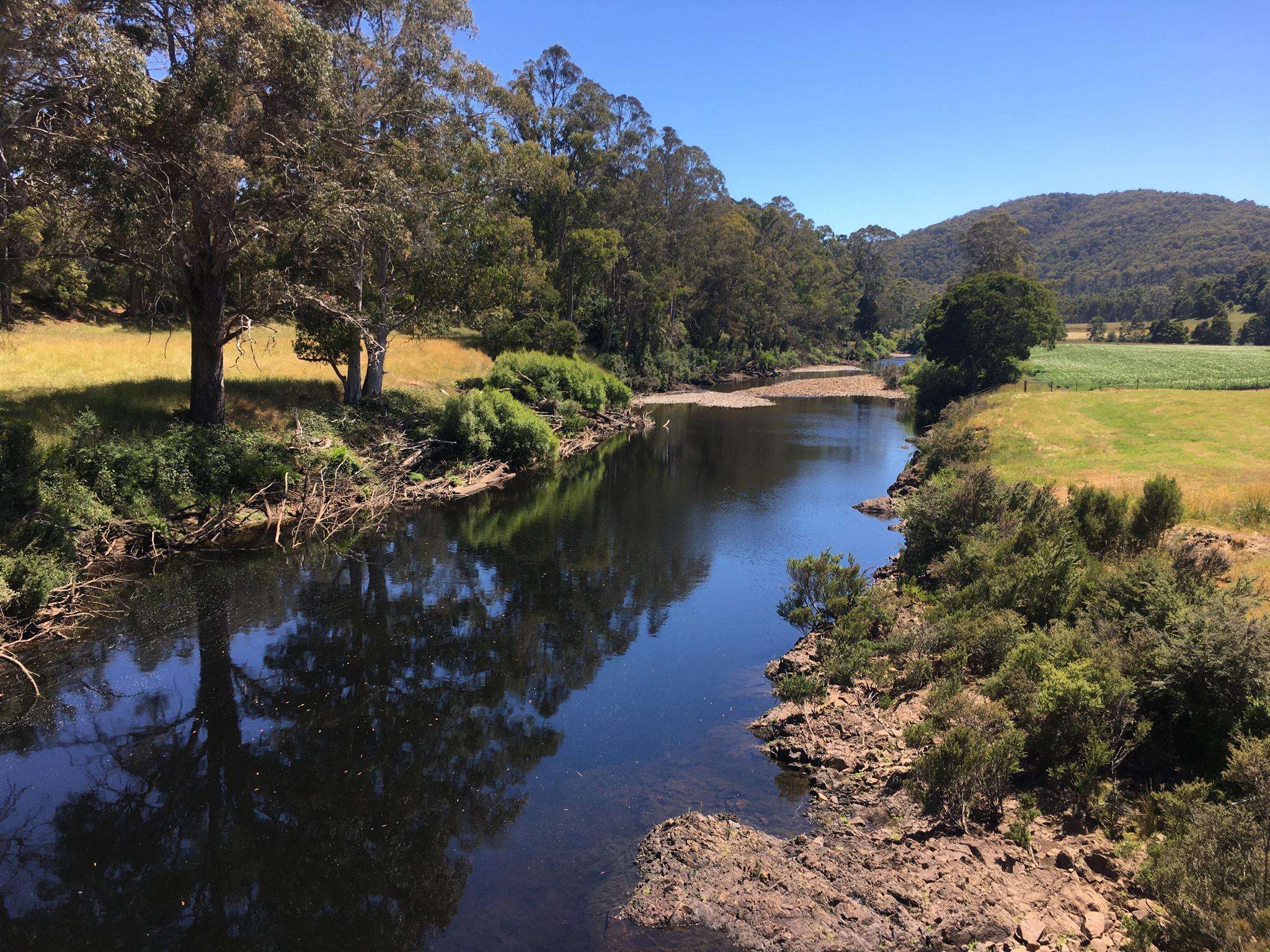
Road cycling in Bonneys Tier Regional Reserve offers routes through a natural setting characterized by mountainous ridges formed from Jurassic dolerite. The terrain features varied elevations and stony soils, providing a challenging yet rewarding experience for cyclists. Dense forests, including stringybark and peppermint varieties, create a diverse visual backdrop. This regional reserve in Tasmania provides a landscape suitable for road cyclists seeking natural beauty and varied topography.
Best road cycling routes in Bonneys Tier Regional Reserve
- The most popular road…
Last updated: July 9, 2026
14
riders
32.9km
01:40
140m
140m
Easy road ride. Great for any fitness level. Mostly well-paved surfaces and easy to ride.
14
riders
27.3km
01:14
90m
90m
Easy road ride. Great for any fitness level. Mostly well-paved surfaces and easy to ride.

Sign up for free
11
riders
70.6km
03:10
530m
530m
Moderate road ride. Good fitness required. Mostly well-paved surfaces and easy to ride.
7
riders
20.7km
00:48
70m
70m
Easy road ride. Great for any fitness level. Mostly well-paved surfaces and easy to ride.
Our route recommendations are based on thousands of hikes, rides, and runs completed by other people on komoot.
Start today with a free account
Your next adventure awaits.
Login or Signup
Popular around Bonneys Tier Regional Reserve

Frequently Asked Questions
How many road cycling routes are available in Bonneys Tier Regional Reserve?
There are currently 4 road cycling routes available in and around Bonneys Tier Regional Reserve on komoot, offering a mix of easy and moderate options to explore the region's unique landscape.
What kind of terrain can I expect when road cycling in Bonneys Tier Regional Reserve?
The region is characterized by mountainous ridges formed from Jurassic dolerite, meaning you can expect varied elevations and potentially challenging ascents and descents. Roads often wind through dense forests, providing a scenic backdrop of stringybark and peppermint trees.
Are there any easy road cycling routes suitable for beginners in the area?
Yes, there are several easy routes. For instance, the Bluff Beach – Back Beach loop from Latrobe is an easy 20.5-mile (32.9 km) trail that offers coastal views. Another easy option is the East Devonport Beach loop from Latrobe, which is 12.9 miles (20.7 km) long and also explores coastal areas.
Are there any longer or more challenging road cycling routes?
For those seeking a more moderate challenge, the Back Beach – Bluff Beach loop from Latrobe is a 43.9-mile (70.6 km) path with more significant elevation gain, extending further along the coast and through varied terrain.
What natural features or landscapes will I see along the routes?
Road cycling routes in this region will take you through diverse natural settings. You'll encounter mountainous dolerite ridges, dense forests with stringybark and peppermint trees, and areas with unique undergrowth like tall bracken, cutting grass, and heath. Some routes also offer scenic coastal views.
Are the road cycling routes typically loop trails?
Yes, the routes available on komoot for this region are designed as loops. Examples include the Bluff Beach – Back Beach loop from Latrobe and the East Devonport Beach loop from Latrobe, allowing you to start and finish at the same point.
What is the best time of year to go road cycling in Bonneys Tier Regional Reserve?
While specific seasonal recommendations for Bonneys Tier are not detailed, Tasmania generally offers pleasant cycling conditions during spring (September-November) and autumn (March-May) with milder temperatures and beautiful scenery. Summer (December-February) can also be good, though it might be warmer. Always check local weather forecasts before heading out.
Is Bonneys Tier Regional Reserve suitable for family road cycling?
The reserve offers a mix of easy and moderate routes. Families with younger or less experienced riders might prefer the easier, shorter coastal loops like the East Devonport Beach loop from Latrobe. Always consider the distance and elevation gain to match your family's abilities.
Are dogs allowed on the road cycling routes in Bonneys Tier Regional Reserve?
As a regional reserve managed by Parks and Wildlife Service Tasmania, specific regulations regarding dogs on roads within the reserve may apply. It's always best to check the official Parks and Wildlife Service Tasmania website for current policies on pets in regional reserves to ensure compliance.
Where can I find parking for road cycling routes near Bonneys Tier Regional Reserve?
Many of the featured routes, such as those starting from Latrobe, typically have accessible parking in or near the starting points in the towns or coastal areas. It's advisable to check the specific route details on komoot for parking suggestions relevant to your chosen ride.
Are there any cafes or accommodation options near Bonneys Tier Regional Reserve?
While the reserve itself is a natural area, nearby towns like Latrobe, Devonport, Deloraine, Mole Creek, and Westbury offer various cafes, pubs, and accommodation options. These towns serve as excellent bases for exploring the region's road cycling routes.
What is the average elevation gain on the road cycling routes?
The elevation gain varies significantly depending on the route. For example, an easy coastal loop like the East Devonport Beach loop from Latrobe has an elevation gain of around 66 meters, while a moderate route like the Back Beach – Bluff Beach loop from Latrobe features a more substantial gain of approximately 527 meters.
Most popular routes in Bonneys Tier Regional Reserve

Get inspired with the komoot mobile app


Explore more
Browse the best Road cycling routes in other regions.
