The best walks and hikes in Pardoe Northdown Conservation Area
4.9
(24)
229
hikers
13
hikes
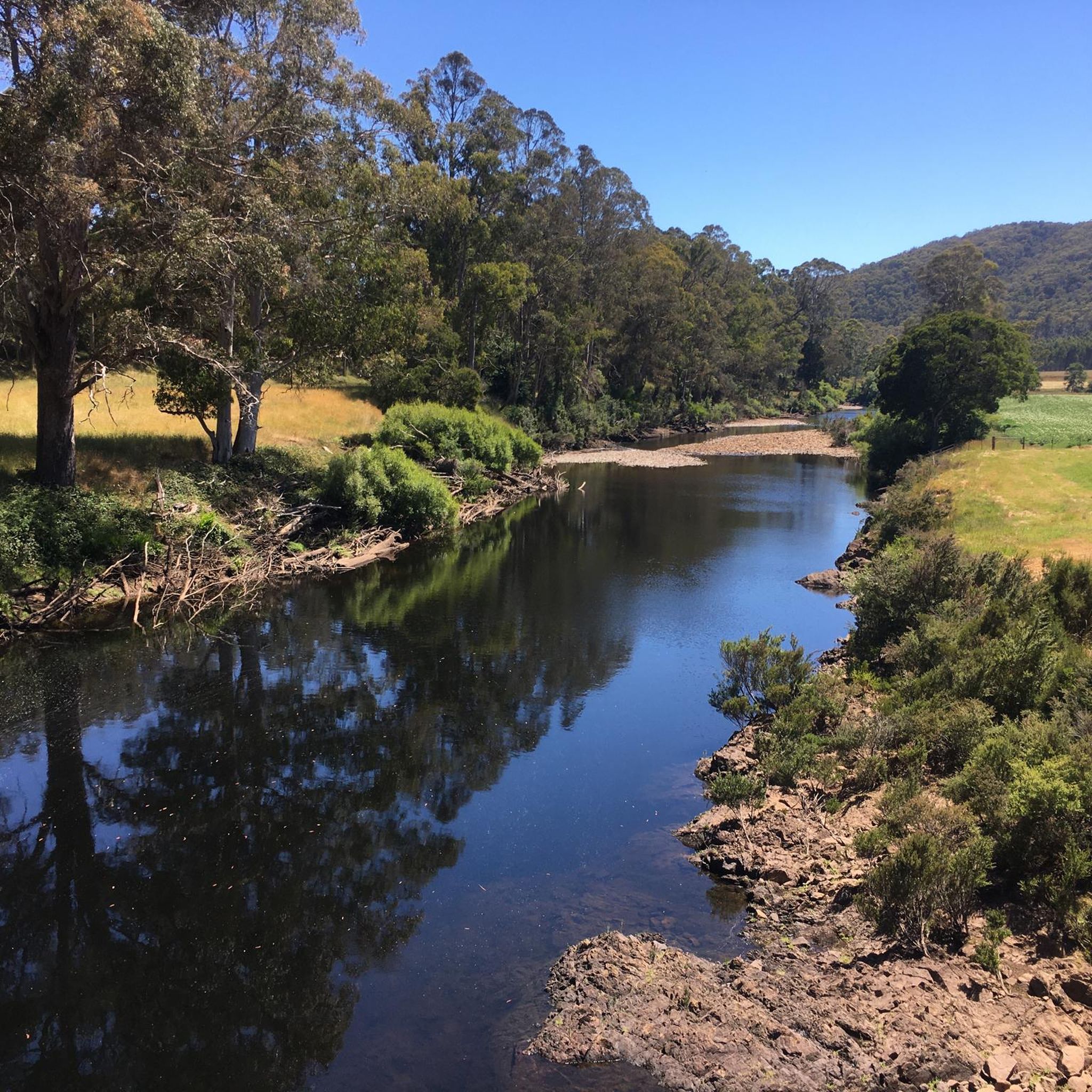
Hiking in Pardoe Northdown Conservation Area offers opportunities to explore a natural park setting in Tasmania, characterized by its proximity to the coast. The terrain within the conservation area is relatively gentle, with an average elevation of 19 meters and a maximum elevation of 150 meters, suggesting accessible walking conditions. This area provides a mix of coastal paths and bushland sections, making it suitable for various outdoor activities.
Best hiking trails in Pardoe Northdown Conservation Area
- The most popular hiking…
Last updated: July 8, 2026
19
hikers
5.88km
01:31
30m
30m
Easy hike. Great for any fitness level. Easily-accessible paths. Suitable for all skill levels.
14
hikers
4.43km
01:08
10m
10m
Easy hike. Great for any fitness level. Easily-accessible paths. Suitable for all skill levels.

Sign up for free
7
hikers
4.32km
01:06
20m
20m
Easy hike. Great for any fitness level. Easily-accessible paths. Suitable for all skill levels.
5
hikers
3.46km
00:53
10m
10m
Easy hike. Great for any fitness level. Easily-accessible paths. Suitable for all skill levels.
3
hikers
10.7km
02:49
90m
90m
Moderate hike. Good fitness required. Easily-accessible paths. Suitable for all skill levels.
Get access to more routes and recommendations from other explorers.
Sign up for free
Already have an account?
Our route recommendations are based on thousands of hikes, rides, and runs completed by other people on komoot.
Start today with a free account
Your next adventure awaits.
Login or Signup
Popular around Pardoe Northdown Conservation Area


Tips from the Community

Elegant vertical instead of horizontal stripes!
0
0

Lighthouse at the end of the road after the campsite. White with red stripes, he stands above the sea.
1
0
Frequently Asked Questions
What kind of terrain can I expect when hiking in Pardoe Northdown Conservation Area?
The Pardoe Northdown Conservation Area features a mix of coastal paths and gentle bushland sections. The terrain is generally accessible, with an average elevation of 19 meters and a maximum elevation of 150 meters, making for relatively easy walking conditions.
Are there any easy hiking trails suitable for beginners?
Yes, the area offers several easy routes. For example, the Mersey Bluff Lighthouse loop from Devonport is an easy 5.9 km trail that takes about 1 hour 31 minutes, offering coastal views. Another easy option is the Devonport Town Hall loop from Devonport, a 4.4 km path through urban areas.
What are the options for longer or more challenging hikes?
For those looking for a moderate challenge, the Devonport Town Hall – Rooke Street Mall loop from Devonport is a 10.7 km trail through the town center, typically completed in about 2 hours 49 minutes. Further afield, the View from Archers Knob Summit – Beach loop from Bakers Beach offers a 9.7 km moderate hike with scenic views.
What do other hikers say about the trails in Pardoe Northdown Conservation Area?
The trails in Pardoe Northdown Conservation Area are highly regarded by the komoot community, with an average rating of 4.9 stars from over 10 reviews. Hikers often praise the accessible nature of the paths and the pleasant mix of coastal and bushland scenery.
Are there any circular walks available?
Yes, many of the routes in the area are designed as loops. For instance, the Mersey Bluff Lighthouse loop from Devonport and the View from Archers Knob Summit loop from Bakers Beach are both popular circular options, allowing you to start and end at the same point.
What kind of natural features can I expect to see?
While specific unique geological formations within the conservation area are not widely detailed, you can expect to enjoy coastal views, bushland sections, and the general natural park environment. The broader Northwest Tasmania region is known for its diverse natural landscapes, including ancient rainforests and dramatic coastlines.
Is Pardoe Northdown Conservation Area suitable for family hikes?
Given its gentle terrain and accessible paths, Pardoe Northdown Conservation Area is generally suitable for family-friendly walks. Many of the easy routes, such as the Devonport Town Hall loop from Devonport, are ideal for shorter outings with children.
Where can I find parking for the hiking trails?
As the area is located near East Devonport and towns like Wesley Vale, Shearwater, and Port Sorell, parking is typically available at trailheads or designated public parking areas within or near these towns. Specific parking details are often found on individual route descriptions.
What is the best time of year to go hiking in this area?
Tasmania generally offers pleasant hiking conditions during spring (September-November) and autumn (March-May) with milder temperatures. Summer (December-February) is also popular, though it can be warmer. Winter (June-August) can be cooler and wetter, but still offers opportunities for walks, especially on the more sheltered bushland paths.
Are there any viewpoints or scenic spots along the trails?
Many routes offer scenic views, particularly those along the coast. For example, the Mersey Bluff Lighthouse loop from Devonport provides views of the coastline and the historic lighthouse. The View from Archers Knob Summit loop from Bakers Beach also offers elevated perspectives.
How many hiking routes are available in Pardoe Northdown Conservation Area?
There are 13 hiking routes available in Pardoe Northdown Conservation Area, ranging from easy to moderate difficulty, providing a variety of options for different preferences and fitness levels.
Most popular routes in Pardoe Northdown Conservation Area

Get inspired with the komoot mobile app


Explore more
Browse the best Hikes in other regions.
