The best running trails in Tamar Conservation Area
4.0
(1)
665
runners
11
runs
Jogging in Tamar Conservation Area offers a diverse landscape for runners, encompassing both the Tamar Valley National Landscape in England and the Tamar Island Wetlands in Tasmania, Australia. The region features varied terrain, including wooded copses, riverside paths, and undulating woodland trails in the English section, alongside estuarine wetlands and boardwalks in the Australian part. Runners can explore picturesque river valleys, historic mining landscapes, and accessible wetland environments. The area provides a mix of natural beauty and cultural heritage, making…
Last updated: July 9, 2026
43
runners
8.89km
00:57
30m
30m
Moderate run. Good fitness required. Mostly paved surfaces. Suitable for all skill levels.
34
runners
7.60km
00:49
30m
30m
Moderate run. Good fitness required. Mostly paved surfaces. Suitable for all skill levels.

Sign up for free
26
runners
23.1km
02:56
590m
590m
Hard run. Very good fitness required. Mostly paved surfaces. Suitable for all skill levels.
21
runners
15.3km
01:35
20m
20m
Hard run. Very good fitness required. Mostly paved surfaces. Suitable for all skill levels.
15
runners
22.0km
02:24
160m
160m
Hard run. Very good fitness required. Mostly paved surfaces. Suitable for all skill levels.
Get access to more routes and recommendations from other explorers.
Sign up for free
Already have an account?
Our route recommendations are based on thousands of hikes, rides, and runs completed by other people on komoot.
Start today with a free account
Your next adventure awaits.
Login or Signup
Popular around Tamar Conservation Area
Tips from the Community

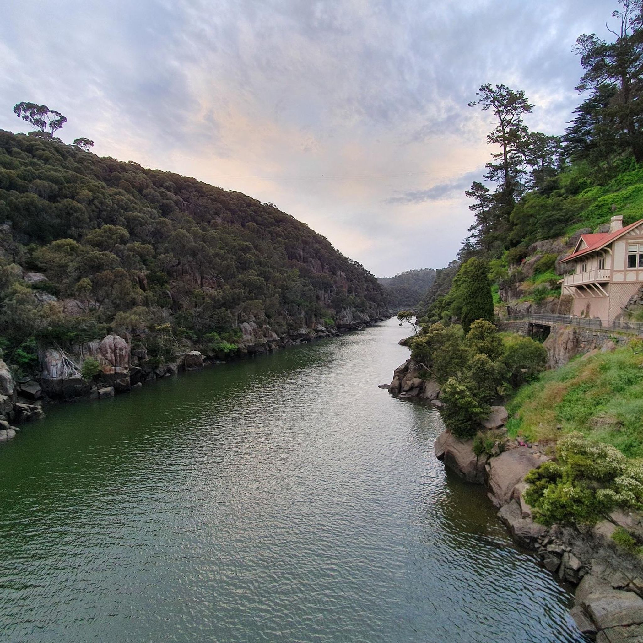
First Basin Swimming Pool is a public outdoor pool set within Cataract Gorge, nestled along the calm waters of First Basin. Fed by river water and surrounded by lawns and rocky cliffs, it's a unique place to swim in a natural, picturesque setting. Popular in warmer months, the pool sits close to walking paths, picnic areas, and the Gorge Scenic Chairlift, making it an easy and refreshing stop within the reserve.
0
0
This is a great spot that captures the iconic Gorge Scenic Chairlift spanning the dramatic cliffs of Cataract Gorge. From the waterside at First Basin, the chairlift glides above the South Esk River, framed by steep rock faces and the surrounding bushland. This vantage point offers a clear, picturesque perspective of one of Launceston’s most recognisable attractions.
0
0

Zig Zag Track climbs the southern side of Cataract Gorge Reserve in a series of steady switchbacks, gaining elevation quickly through dry forest. It’s a more challenging option compared to the easier gorge walks, but the payoff comes as you rise above the river, with clear views of the gorge and the iconic Kings Bridge below.
0
0
The sealed Cataract Walk is the most accessible within Cataract Gorge, linking Kings Bridge to First Basin with elevated views along the cliffs. From there, you can continue on the First Basin Loop beneath the chairlift, or take on the longer Duck Reach Trail to the historic power station and suspension bridge.
0
0
The Gorge Scenic Chairlift at Cataract Gorge Reserve offers an easy way to take in the full scale of the gorge from above. Running since 1972, it spans about 457 metres across the South Esk River, including the longest single-span chairlift of its kind. The ride moves slowly, giving clear views of dolerite cliffs, First Basin, and Kings Bridge below. Entry to the gorge is free, with chairlift tickets typically costing around 10 to 20 AUD return. At the lower station, you’ll find a swimming pool, tea rooms, and resident peacocks.
0
0
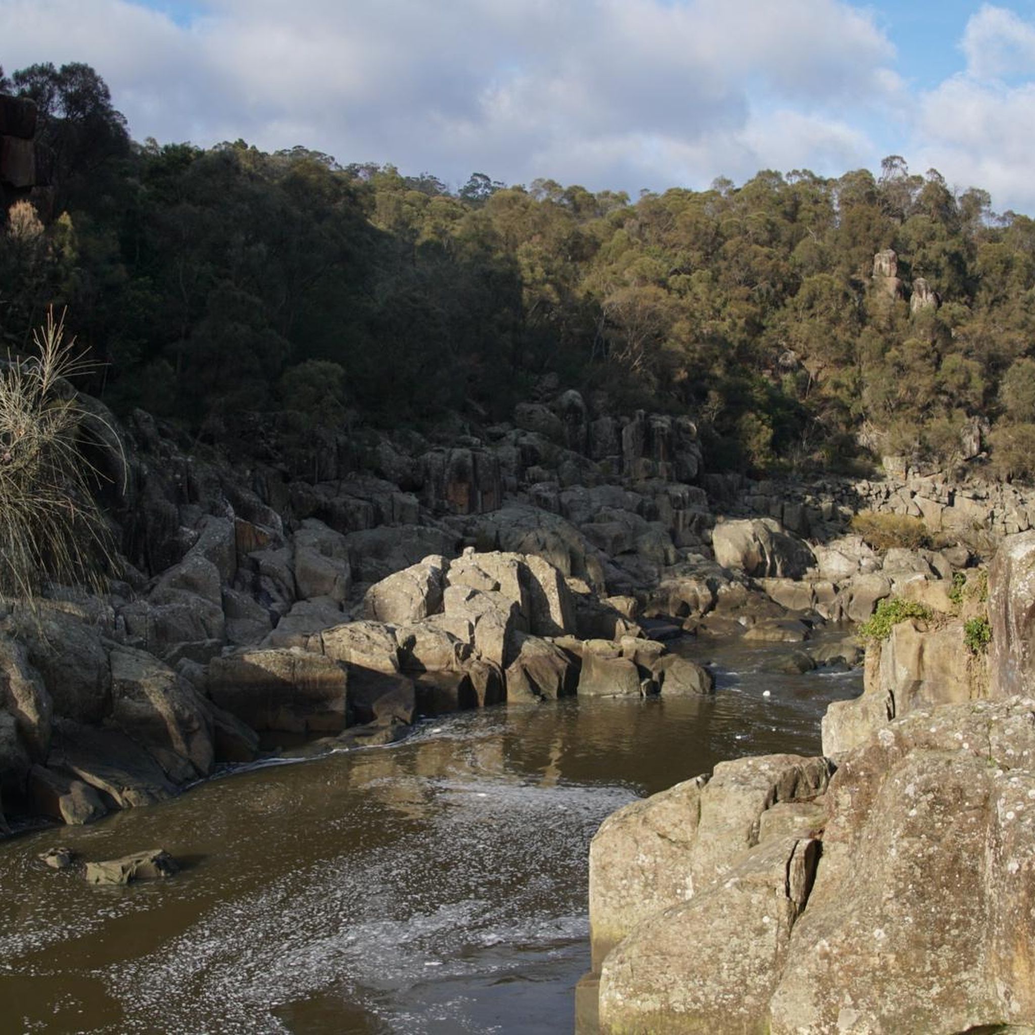
Sentinel Lookout sits high above the South Esk River and offers wide views across the rugged valley of Cataract Gorge Reserve. From the viewing platform, you can look down over the rocky riverbed as the river winds through bush-covered hills and granite outcrops.
0
0

Suspension bridge with a view of the gorge.
0
0

Frequently Asked Questions
What types of running routes can I find in the Tamar Conservation Area?
The Tamar Conservation Area offers a diverse range of running experiences. In the English section (Tamar Valley National Landscape), you'll find varied terrain including wooded copses, riverside paths, and undulating woodland trails, often with historical mining landscapes. In the Tasmanian section (Tamar Island Wetlands), routes feature estuarine wetlands and accessible boardwalks, perfect for wildlife observation. Overall, there are over 10 routes available, catering to different preferences.
Are there easy or beginner-friendly jogging routes in the Tamar Conservation Area?
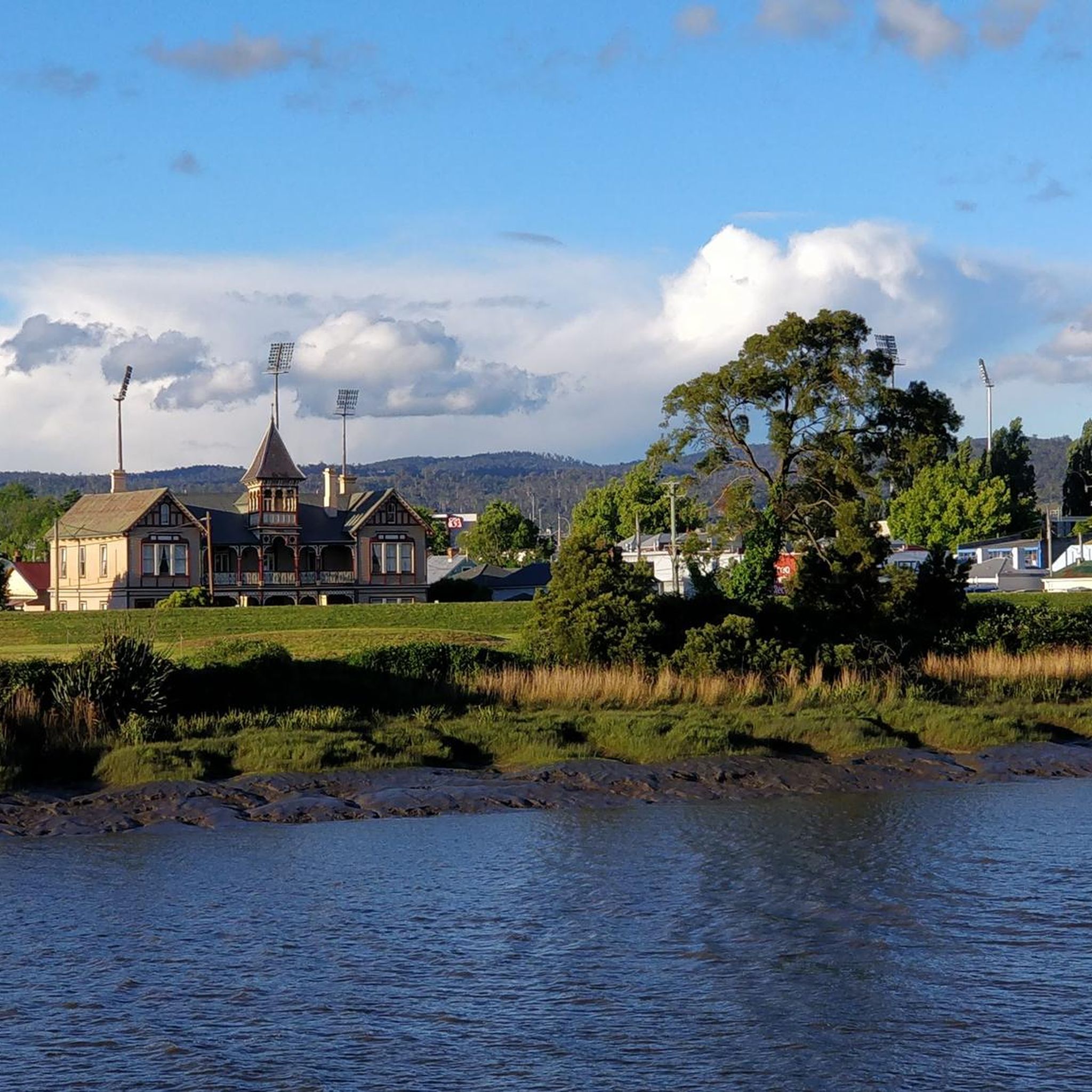
Yes, the area provides several easy options suitable for beginners or those looking for a relaxed run. For instance, the View of Riverbend Park – Launceston Parkrun loop from Launceston is an easy 4.4 km trail with minimal elevation gain. The Tamar Island Wetlands in Tasmania also feature a 4.3 km Grade 1 trail with a level boarded walkway, ideal for accessible and leisurely jogs.
What do other runners say about the trails in the Tamar Conservation Area?
The running routes in the Tamar Conservation Area are highly regarded by the komoot community, holding an average rating of 4.0 stars. Over 700 runners have explored these trails using komoot, often praising the varied terrain, from scenic riverside paths to tranquil woodland sections, and the unique blend of natural beauty and historical significance.
Are there any circular running routes available?
Yes, many of the routes in the Tamar Conservation Area are designed as loops, offering convenient circular runs. For example, the popular View of Riverbend Park loop from Launceston is a moderate 7.6 km circular path that provides a pleasant run along the riverbend. Another option is the more challenging Running loop from Launceston, which covers 23.0 km through varied terrain.
Can I bring my dog on the jogging trails?
While specific regulations can vary, many outdoor areas in the Tamar Valley National Landscape (England) are generally dog-friendly, often requiring dogs to be kept on a lead, especially near livestock or wildlife. For the Tamar Island Wetlands in Tasmania, it's advisable to check local signage or the Parks Tasmania website for current rules regarding pets, as wetlands are sensitive habitats.
What kind of natural features or viewpoints can I expect along the routes?
Joggers in the Tamar Valley National Landscape can enjoy stunning views of the River Tamar, River Tavy, and River Lynher, along with picturesque valleys and wooded areas. You might also encounter disused mine workings, offering a glimpse into the region's rich mining heritage. In the Tamar Island Wetlands, the focus is on estuarine landscapes, coastal paperbark forests, and abundant birdlife, with boardwalks providing excellent vantage points for wildlife observation.
Are there any routes suitable for families with children?
For families, the easier, flatter routes are generally best. The Tamar Island Wetlands in Tasmania offer a highly accessible 4.3 km trail with a level boarded walkway, suitable for all abilities and ideal for families. In the English section, look for routes described as 'easy' with minimal elevation, such as the View of Riverbend Park – Launceston Parkrun loop from Launceston, which is a good option for a family jog.
Is there parking available near the running trails?
Parking availability varies by specific trailhead. In the Tamar Valley National Landscape, popular spots like the Tamar Trails Centre often have dedicated parking facilities. For routes originating from towns like Launceston in Tasmania, public parking lots are generally available. It's always recommended to check the starting point of your chosen route for specific parking information.
What is the best time of year to go jogging in the Tamar Conservation Area?
Both regions offer good running conditions for much of the year. In the Tamar Valley National Landscape (England), spring and autumn provide pleasant temperatures and beautiful scenery, with vibrant foliage in autumn. Summer can be warm but is generally good for early morning or late evening runs. In the Tamar Island Wetlands (Tasmania), the climate is generally mild, making it suitable for jogging year-round, though checking weather forecasts is always advisable.
Are there any longer or more challenging running routes for experienced runners?
Yes, for experienced runners seeking a challenge, the Tamar Conservation Area offers several difficult routes. The View of Riverbend Park loop from Riverside is a demanding 21.8 km route with significant elevation changes. Another challenging option is the Launceston Parkrun loop from Newstead, covering 15.3 km, which provides a good workout through varied terrain.
Most popular routes in Tamar Conservation Area

Get inspired with the komoot mobile app


Explore more
Browse the best Running Trails & Routes in other regions.
