The best walks and hikes in Alpine National Park
4.9
(46)
853
hikers
15
hikes
Hiking in Alpine National Park, Victoria's largest national park, features dramatic mountain ranges, expansive alpine grasslands, and diverse forests. The park is home to Victoria's highest peaks, including Mount Bogong (1,986m) and Mount Feathertop (1,922m), offering significant elevation gains. Hikers can explore snow gum forests, mature alpine ash forests, and areas with gorges and waterfalls.
Best hiking trails in Alpine National Park
- The most popular hiking route is Mount Bogong via Staircase and Eskdale Spurs Circuit, a 10.1 miles (16.2 km) trail that takes 6 hours 54 minutes to complete, ascending Victoria's highest peak.
- Another top favourite among local hikers is Mount Bogong loop from Mountain Creek Campsite, a difficult 11.0 miles (17.8 km) path. This route offers a challenging ascent through varied alpine terrain, providing extensive views.
- Local hikers also love the Federation Hut – Mount Feathertop Summit loop from Mount Feathertop, a 2.2 miles (3.5 km) trail leading through alpine landscapes towards Mount Feathertop, often completed in about 1 hour 18 minutes.
- Hiking in Alpine National Park is defined by majestic mountains, alpine grasslands, and snow gum forests. The network offers options for different ability levels, from easy walks to demanding multi-day expeditions.
- The routes in Alpine National Park are highly rated by the komoot community with an average score of 4.9 stars from more than 30 reviews. More than 700 hikers have used komoot to explore Alpine National Park's varied terrain.
Last updated: July 7, 2026
5.0
(1)
32
hikers
16.2km
06:54
1,270m
1,270m
Hike Victoria's highest peak on this difficult 10.1-mile circuit, offering panoramic alpine views and a challenging ascent.
5.0
(3)
43
hikers
17.8km
07:29
1,370m
1,370m
Hard hike. Very good fitness required. Mostly accessible paths. Sure-footedness required.

Sign up for free
38
hikers
3.51km
01:19
220m
220m
Easy hike. Great for any fitness level. Easily-accessible paths. Suitable for all skill levels.
19
hikers
6.07km
01:45
150m
150m
Easy hike. Great for any fitness level. Easily-accessible paths. Suitable for all skill levels.
17
hikers
5.16km
01:29
130m
130m
Easy hike. Great for any fitness level. Easily-accessible paths. Suitable for all skill levels.
Get access to more routes and recommendations from other explorers.
Sign up for free
Already have an account?
Our route recommendations are based on thousands of hikes, rides, and runs completed by other people on komoot.
Start today with a free account
Your next adventure awaits.
Login or Signup
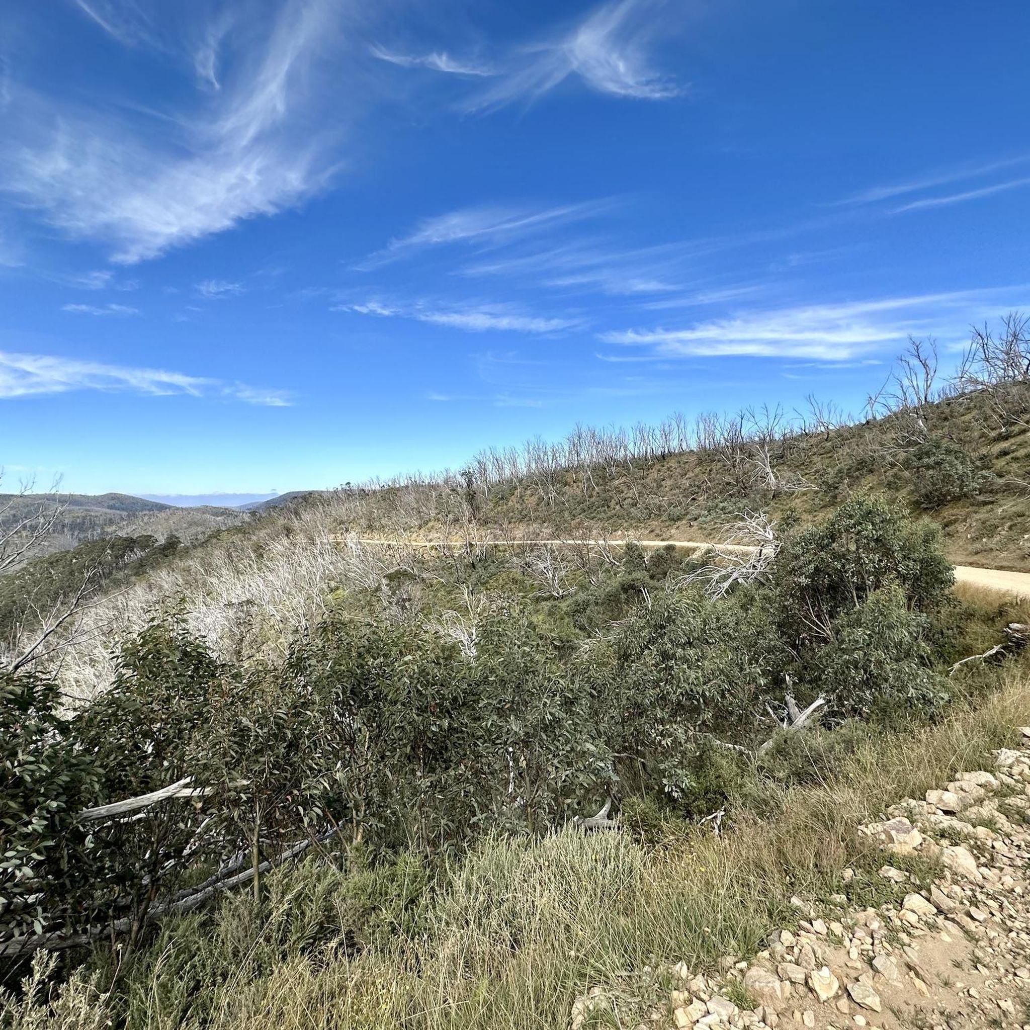
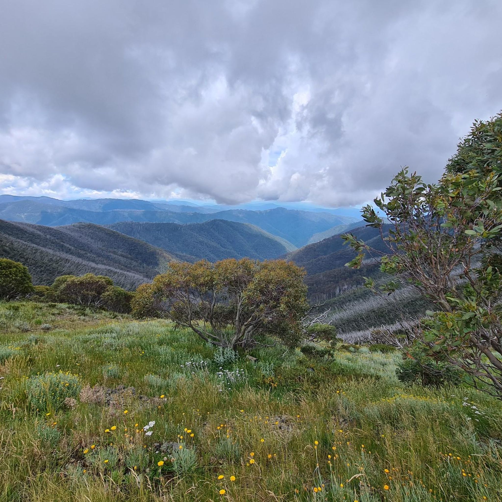
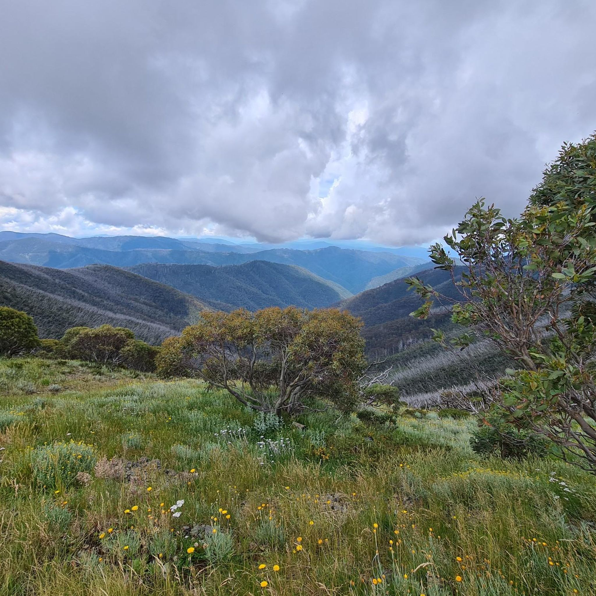
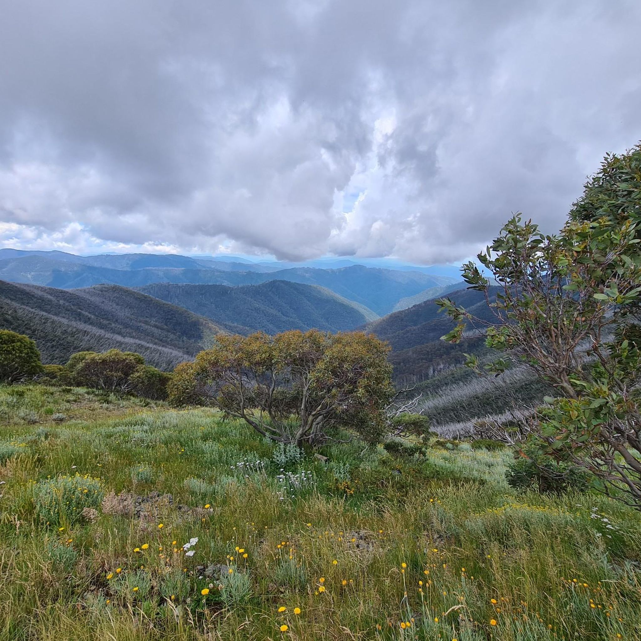
Tips from the Community

Mount Feathertop, at 1,922 metres, is Victoria’s second‑highest peak and one of its most impressive, with steep, angular slopes unlike the rounded domes of nearby summits with sweeping 360-degree views across surrounding ranges, especially in clear weather. It forms part of the Victorian Alps in the Alpine National Park and is often snow‑covered from June to September. The mountain is joined to Mount Hotham by the Razorback ridge, making it a standout in the High Country.
0
0
This junction marks the turnoff from the Razorback Track to the main camping and shelter area below Mount Feathertop. The nearby Federation Hut provides a modern emergency day use and overnight refuge, and is a popular base for summit attempts, with tent sites scattered across the surrounding alpine flats (no fee).
0
0
This small alpine shelter sits just below Mount Bogong’s summit plateau near the top of Staircase Spur. This compact metal hut provides emergency shelter in the mountain’s harsh and changeable weather, serving as a key waypoint for walkers approaching the summit. Nestled among snow gums and alpine heath, it offers limited protection from wind and snow, but is not intended as primary overnight accommodation.
0
0
Michell Hut is a small emergency shelter located on Mount Bogong’s exposed summit plateau, providing shelter for walkers in severe alpine conditions. This simple metal hut sits near the junction of several routes, including approaches from Staircase Spur and Eskdale Spur, making it a key navigation point in poor weather. While not intended for overnight stays except in emergencies, it offers essential protection from the mountain’s frequent wind, snow, and sudden weather changes.
0
0
Eskdale Spur Track is a steep, sustained ascent route on Mount Bogong, climbing from Mountain Creek along a long, forested ridge to the summit plateau. The track passes through tall mountain ash forest before breaking into snow gum woodland and exposed alpine terrain, with significant elevation gain over a relatively short distance. Less travelled than Staircase Spur but equally challenging, it offers expansive ridge views before joining the final summit approach near Michell Hut.
0
0
Staircase Spur is the most direct and popular route to Mount Bogong’s summit, and is a steep climb from Mountain Creek Track that runs along a well-defined ridge. The track gains elevation quickly through forest before opening up above the treeline onto exposed alpine terrain with expansive views along the way. Known for its sustained grade and minimal flat sections, it’s a challenging but straightforward ascent to Bivouac Hut and the summit plateau.
0
0
Mount Bogong is Victoria’s highest peak at 1,986 metres, with a wide summit marked by a prominent cairn and expansive views across the Victorian Alps. The exposed plateau is often windy and can experience rapid weather changes, with snow common in winter and lingering into spring. From the top, there are sweeping panoramas over surrounding ridgelines, high plains, and distant peaks, making it one of Australia’s most rewarding alpine viewpoints.
0
0

Via the Razorback trail, 10km each way over a magnificent alpine ridge at 1850m ASL.
1
0
Frequently Asked Questions
How many hiking trails are available in Alpine National Park?
Alpine National Park features over 15 hiking trails, catering to various skill levels from easy walks to demanding multi-day expeditions. The komoot community has explored these diverse routes over 700 times.
What are some challenging hikes for experienced trekkers in Alpine National Park?
For experienced hikers, the park offers several demanding routes. The Mount Bogong via Staircase and Eskdale Spurs Circuit is a difficult 16.2 km trail ascending Victoria's highest peak. Another challenging option is the Mount Bogong loop from Mountain Creek Campsite, an 17.8 km path with significant elevation gain and extensive views.
Are there any easy hiking options suitable for beginners or families in Alpine National Park?
Yes, there are several easy trails. The Federation Hut – Mount Feathertop Summit loop from Mount Feathertop is an easy 3.5 km trail through alpine landscapes. Another accessible option is the Bogong Rover Chalet loop from Falls Creek, a 6.1 km route with gentle elevation changes.
What natural features or landmarks can I expect to see while hiking in Alpine National Park?
Hikers can explore diverse landscapes including majestic mountains like Mount Bogong and Mount Feathertop, vast alpine grasslands, and unique snow gum forests. The park also features spectacular gorges and impressive waterfalls, particularly in areas like Moroka and Bryces Gorge. Historic high-country huts are scattered throughout, offering a glimpse into the region's heritage.
When is the best time of year to go hiking in Alpine National Park?
The best time for hiking and to witness the stunning wildflower displays is during the warmer months, typically from November to May. During this period, the alpine grasslands burst with vibrant wildflowers, especially in January.
Are there any circular hiking routes in Alpine National Park?
Yes, the park offers several loop trails. Examples include the challenging Mount Bogong via Staircase and Eskdale Spurs Circuit and the easier Federation Hut – Mount Feathertop Summit loop from Mount Feathertop. These routes allow you to start and finish at the same point, offering varied scenery without retracing your steps.
What do other hikers enjoy most about hiking in Alpine National Park?
The komoot community highly rates the trails in Alpine National Park, with an average score of 4.9 stars. Reviewers often praise the dramatic mountain scenery, the expansive alpine grasslands, and the diverse forests. The challenging ascents to peaks like Mount Bogong and Mount Feathertop are frequently highlighted for their rewarding panoramic views.
Are there any specific areas known for waterfalls in Alpine National Park?
Yes, the southeastern part of the park, particularly around Moroka and Bryces Gorge, is known for its spectacular gorges and impressive waterfalls. The Bryce Gorge Circuit Walk specifically highlights these natural features.
Is it possible to do multi-day hikes in Alpine National Park?
Yes, Alpine National Park is ideal for multi-day adventures. Options include the Falls to Hotham Alpine Crossing, which traverses alpine ridges and lush valleys, and sections of the epic 655km Australian Alps Walking Track. Other multi-day treks like the Bogong High Plains Traverse and the Buller Huts Trail incorporate historic high-country huts for overnight stays.
What should I know about parking and permits for hiking in Alpine National Park?
Parking is available at various trailheads throughout the park. For specific information on parking locations and any required permits for overnight hiking or certain areas, it is advisable to check the official Parks Victoria website: parks.vic.gov.au.
Are there any trails that offer exceptional panoramic views?
Many trails in Alpine National Park offer breathtaking panoramic views. Hikes to Victoria's highest peaks, Mount Bogong and Mount Feathertop, provide expansive vistas of the Great Dividing Range. The Razorback trail, leading to Mount Feathertop, is particularly renowned for its sweeping views along the ridgeline.
Most popular routes in Alpine National Park
Most popular attractions in Alpine National Park

Get inspired with the komoot mobile app


Explore more
Browse the best Hikes in other regions.
