The best road cycling routes in Mount Stanley Scenic Reserve
185
riders
8
rides
Road cycling routes in Mount Stanley Scenic Reserve navigate a landscape characterized by significant elevation changes and forested hills. The region features a network of roads that traverse valleys and ascend slopes, offering varied terrain for road cyclists. These routes often include descents, indicating a topography with notable climbs. The area's natural reserve status suggests a focus on scenic, undeveloped roads.
Best road cycling routes in Mount Stanley Scenic Reserve
- The most popular road cycling route is Mount Stanley Descent…
Last updated: July 16, 2026
39
riders
60.2km
02:57
800m
800m
Moderate road ride. Good fitness required. Mostly well-paved surfaces and easy to ride.
23
riders
102km
05:16
1,300m
1,300m
Hard road ride. Very good fitness required. Some segments of this route may be unpaved and difficult to ride.

Sign up for free
24
riders
52.8km
02:34
590m
590m
Moderate road ride. Good fitness required. Some segments of this route may be unpaved and difficult to ride.
14
riders
38.9km
02:15
740m
740m
Moderate road ride. Good fitness required. Mostly well-paved surfaces and easy to ride.
8
riders
69.2km
03:45
1,000m
1,000m
Hard road ride. Very good fitness required. Some segments of this route may be unpaved and difficult to ride.
Get access to more routes and recommendations from other explorers.
Sign up for free
Already have an account?
Our route recommendations are based on thousands of hikes, rides, and runs completed by other people on komoot.
Start today with a free account
Your next adventure awaits.
Login or Signup
Popular around Mount Stanley Scenic Reserve
Tips from the Community

The Magic Forest in Stanley State Forest is a quiet stretch of tall pine plantation that feels surprisingly atmospheric. Straight rows of towering trunks filter the light, creating a calm, enclosed setting that contrasts with the surrounding open farmland. The forest floor is often carpeted with fallen needles, and the wide dirt tracks make it easy to wander through this distinctive section. It’s a peaceful spot to pause, especially in soft morning or late afternoon light.
0
0

sweeping corners and scenic views make this decent from Stanley a must do, just don't have too many beers at the pub!!
0
0

Awesome descent as well as climb, very quiet road snaking down into the valley. The descent is quite fast and a little technical. The downhill actually starts earlier and finishes later than the segment but this is the best part really.
0
0
Frequently Asked Questions
What is the general character of road cycling in Mount Stanley Scenic Reserve?
Road cycling in Mount Stanley Scenic Reserve is defined by significant elevation changes, forested hills, and scenic rural roads. The routes often include substantial climbs and descents, offering a varied terrain that focuses on endurance and climbing.
How many road cycling routes are available in Mount Stanley Scenic Reserve?
There are 8 road cycling routes available in Mount Stanley Scenic Reserve on komoot, catering to various skill levels from moderate to difficult.
Are there any easy road cycling routes in Mount Stanley Scenic Reserve?
The routes in Mount Stanley Scenic Reserve are generally moderate to difficult, with no routes specifically categorized as easy. Cyclists should be prepared for significant elevation changes and longer distances.
What are some challenging road cycling routes in the area?
For a challenging ride, consider the Mount Stanley Descent loop from Beechworth, which covers 48.9 miles (78.7 km) with over 1,100 meters of elevation gain. Another difficult option is the Scenic Rural Road in Australia – Mount Stanley Descent loop from Beechworth, a 70 km route with nearly 1,000 meters of climbing.
Where can I find parking for road cycling routes in Mount Stanley Scenic Reserve?
Many routes in Mount Stanley Scenic Reserve start from nearby towns like Myrtleford or Beechworth. You can typically find parking in these towns, which serve as convenient access points for the scenic reserve's road network.
What is the best time of year for road cycling in Mount Stanley Scenic Reserve?
Given the region's forested hills and varied terrain, spring and autumn generally offer the most pleasant conditions for road cycling, with milder temperatures and beautiful scenery. Summer can be warm, and winter may bring colder weather and potentially wet roads.
Are there any loop trails for road cycling in Mount Stanley Scenic Reserve?
Yes, many of the popular road cycling routes in the reserve are loops. Examples include the Mount Stanley Descent loop from Myrtleford and the Roadbike loop from Murmungee Scenic Reserve, both offering circular journeys through the landscape.
What should I wear for road biking in Mount Stanley Scenic Reserve?
Due to the significant elevation changes and potential for varied weather, it's advisable to wear layers that can be adjusted. Essential gear includes a helmet, padded cycling shorts, and appropriate footwear. Consider bringing a lightweight windbreaker or rain jacket, especially for descents or unexpected weather changes.
What do other road cyclists enjoy most about road cycling in Mount Stanley Scenic Reserve?
Over 190 road cyclists have explored Mount Stanley Scenic Reserve with komoot. Users frequently praise the varied terrain, the challenge of the climbs, and the scenic rural roads that wind through forested hills and valleys.
Are there any less crowded road bike trails in Mount Stanley Scenic Reserve?
While specific crowd levels vary, focusing on routes that start from smaller towns or exploring during off-peak hours (weekdays, early mornings) can help you find quieter stretches. The nature of a scenic reserve often means less traffic compared to urban areas.
What kind of views can I expect along the road cycling routes?
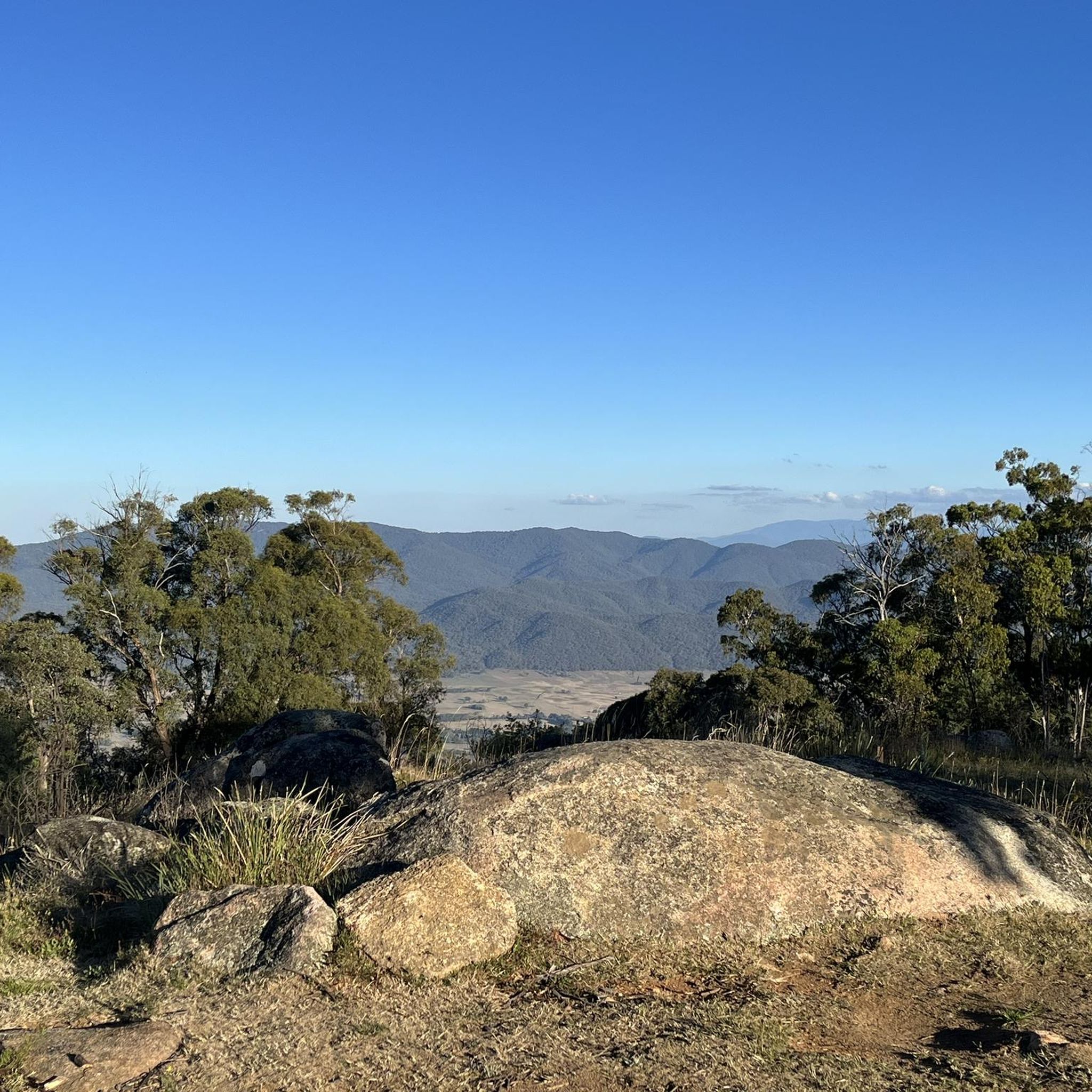
The routes offer expansive views of forested hills, valleys, and the natural landscape characteristic of a scenic reserve. You'll experience a mix of open rural roads and sections winding through dense tree cover, providing a dynamic visual experience.
Is there a moderate road cycling route suitable for experienced riders looking for a less strenuous option?
Yes, the Roadbike loop from Murmungee Scenic Reserve is a moderate 32.8-mile (52.8 km) path that offers a mix of rolling terrain and scenic views. It's a good option for those seeking a substantial ride without the most extreme climbs.
Most popular routes in Mount Stanley Scenic Reserve

Get inspired with the komoot mobile app


Explore more
Browse the best Road cycling routes in other regions.
