The 13 Most Amazing Peaks around Oberdiebach
Best mountain peaks around Oberdiebach are characterized by elevated viewpoints within the UNESCO World Heritage Upper Middle Rhine Valley. This region features a landscape of vineyards and hills rather than alpine peaks. These elevated points offer panoramic views of the Rhine River, surrounding valleys, and historical landmarks. The area is popular for hiking and provides accessible natural beauty and cultural landscapes.
Best mountain peaks around Oberdiebach
- The most popular mountain peaks is Hochsteinchen lookout tower, a viewpoint with a…
Last updated: August 16, 2026
Salzkopf Tower
Highlight • Viewpoint
Translated by Google •
Tip by

View of the Rhine and Bingen from the Prinzenkopf
Highlight • Viewpoint
Translated by Google •
Tip by

Sign up now to discover places like this
Get recommendations on the best single tracks, peaks, & plenty of other exciting outdoor places.
Sign up for free
Franzosenkopf
Highlight • Summit
Translated by Google •
Tip by

Summit Cross Aufm Nack
Highlight • Summit
The rock was freed from overgrown vegetation in 2018/19 so that it …
Translated by Google •
Tip by
Schanzerkopf
Highlight • Summit
Translated by Google •
Tip by

Sign up for free to discover even more peaks around Oberdiebach.
Sign up for free
Already have an account?
Start today with a free account
Your next adventure awaits.
Login or Signup
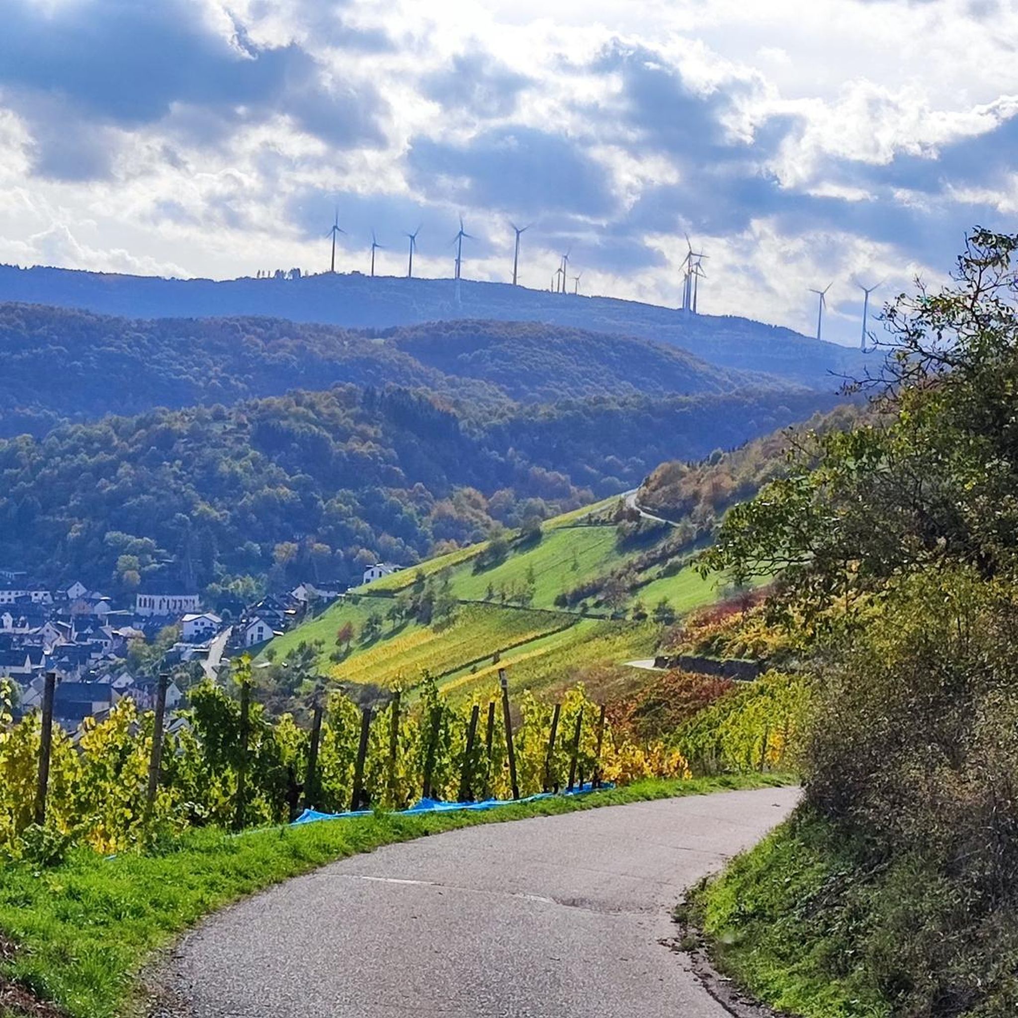
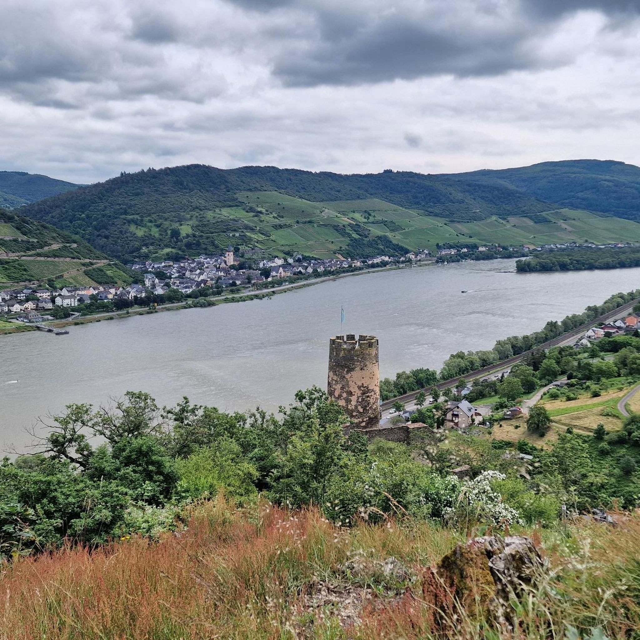
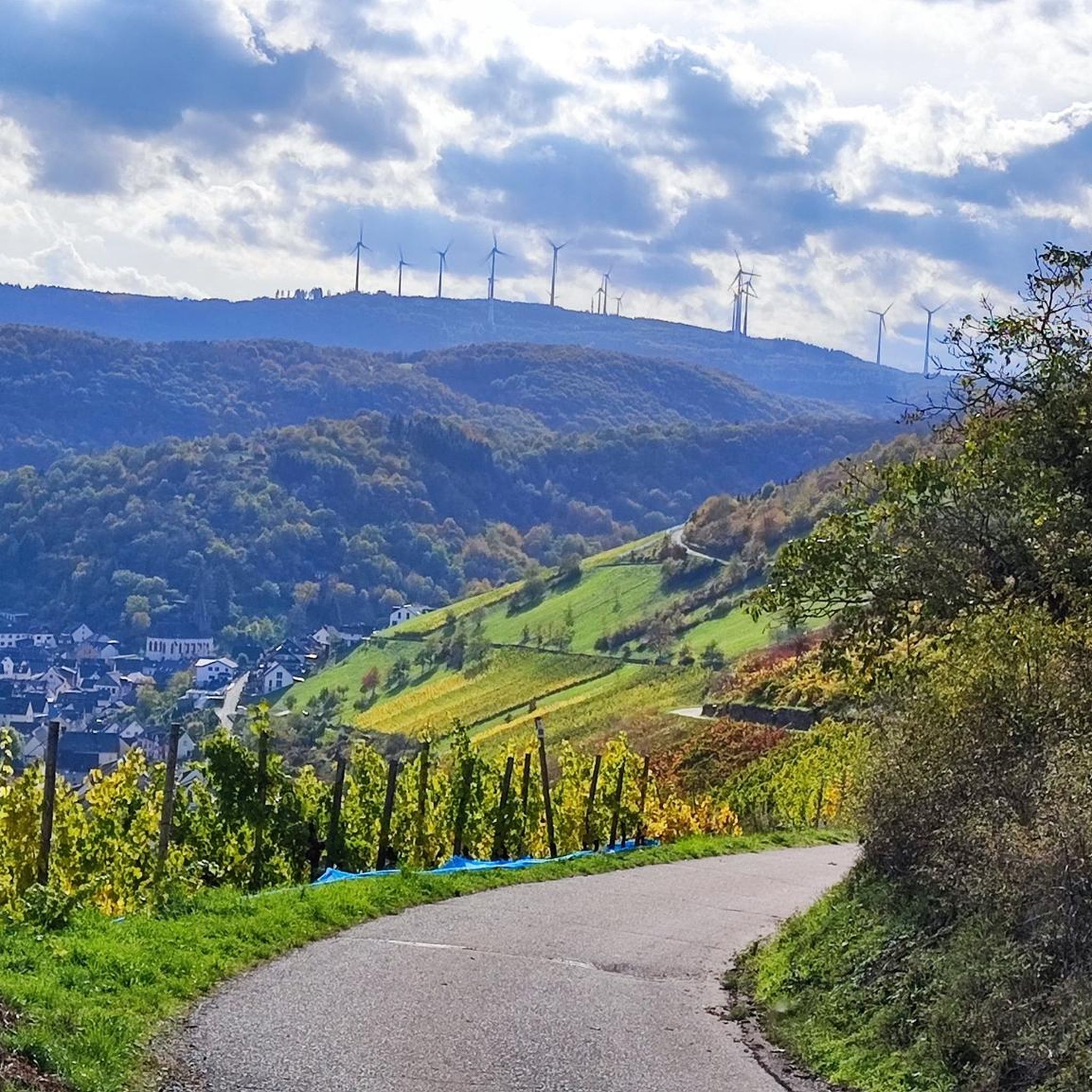
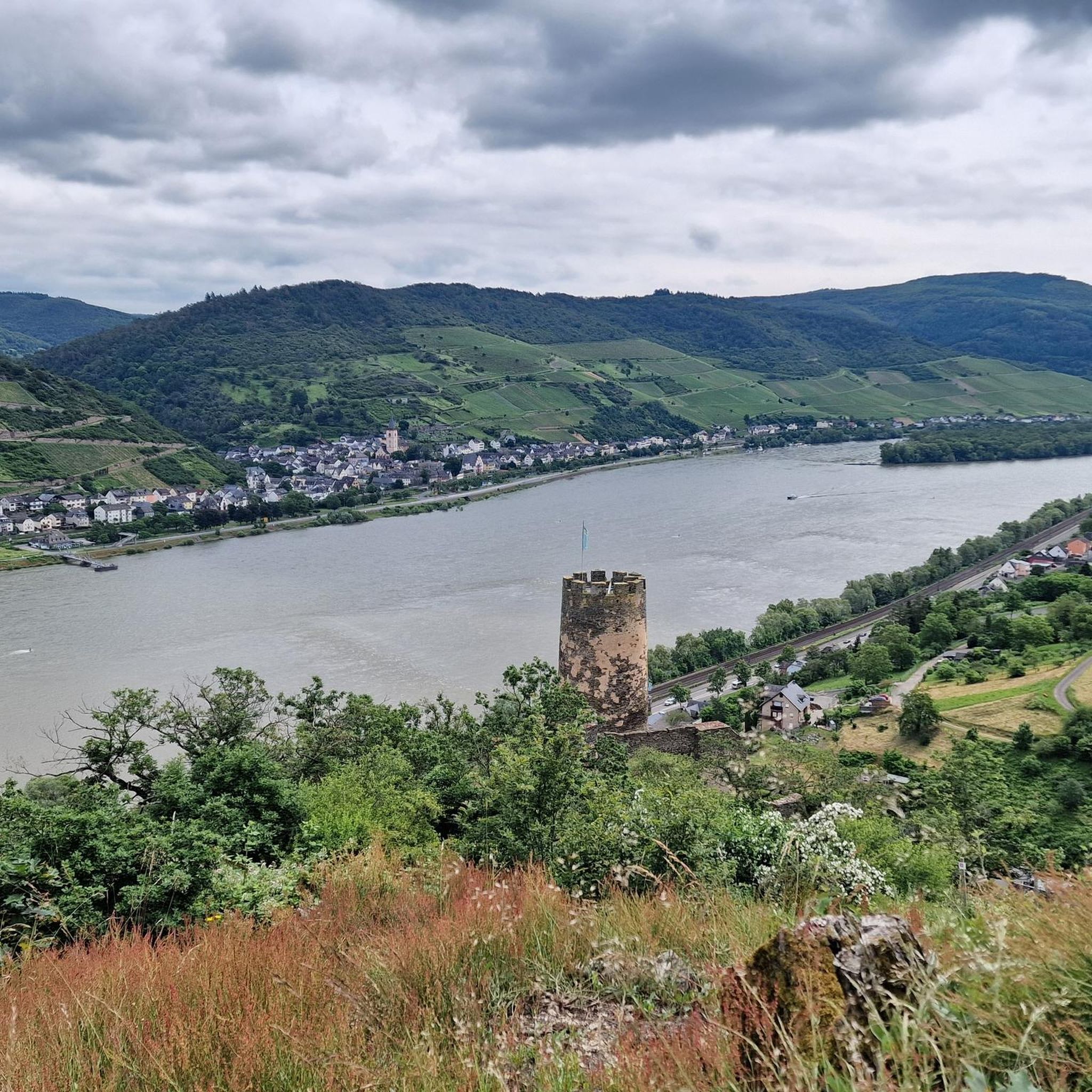

Tips from the Community


As the name suggests, it was the westernmost location of the Franconians in the past. But riding up it on a mountain bike is an experience. 550 meters of elevation gain in one go from Niederheimbach. It's also ideal for runners for a good workout. And also for hikers for the unique views of and across the Rhine.
0
0

beautiful vantage point for a winter hike in the snow
0
0
It's only 600 meters but it can be cold in winter 🥶
0
0
Frequently Asked Questions
What kind of 'mountain peaks' can I expect around Oberdiebach?
The 'mountain peaks' around Oberdiebach are primarily elevated viewpoints and hills within the UNESCO World Heritage Upper Middle Rhine Valley. This region is characterized by vineyards and scenic landscapes rather than towering alpine peaks. These elevated points offer stunning panoramic views of the Rhine River, surrounding valleys, and historical landmarks, making them ideal for scenic hikes.
Which viewpoints offer the best panoramic views of the Rhine Valley?
For breathtaking panoramic views, consider visiting the Hochsteinchen lookout tower, which provides expansive views over the Hunsrück, the Middle Rhine Valley, and into the Taunus. Another excellent spot is the Ohligsberg shelter with views over the Rhine Valley, offering an unobstructed vista to the east over the Binger Forest and the Middle Rhine Valley.
Are there any challenging elevated points to reach near Oberdiebach?
Yes, the Salzkopf Tower, located in the broader Mainz-Bingen district, is considered a challenging ascent. After climbing approximately 100 steps, visitors are rewarded with magnificent views of the Hunsrück, Taunus, and the Middle Rhine Valley. It is the highest point among the 65 named mountains in Landkreis Mainz-Bingen.
What are some unique natural features to look out for on these elevated points?
Beyond the panoramic views, you can find interesting natural features like the deforested parcels near Franzosenkopf, which offer specific views of the Middle Rhine Valley, and a large windthrow area east of its summit. The Summit Cross Aufm Nack is situated on a large quartzite rock criss-crossed by tunnels, offering a unique geological feature alongside its views.
What outdoor activities can I do near the elevated points around Oberdiebach?
The region around Oberdiebach is excellent for various outdoor activities. You can find numerous routes for mountain biking, running, and road cycling. For mountain biking, explore trails like the 'View of the Loreley Rock – View of Marksburg Castle loop' or 'Rheinstein Castle – Rhine-Nahe-Eck loop'. Runners can enjoy routes such as 'Münzturm Bacharach – Bacharach Old Town loop'. Road cyclists have options like 'View of Burg Reichenstein – Rhine-Nahe-Eck loop'. You can find more details on these activities in the dedicated guides for MTB Trails around Oberdiebach, Running Trails around Oberdiebach, and Road Cycling Routes around Oberdiebach.
Are there family-friendly hiking options to reach these viewpoints?
Yes, many of the trails leading to these elevated points are suitable for families. The region focuses on accessible natural beauty, with well-maintained hiking trails catering to various fitness levels. For example, the 'Aussichtspunkt Wurschberg – Mauritiusbrunnen Oberdiebach Runde von Oberdiebach' hiking trail includes the Aussichtspunkt Wurschberg and features easily walkable paths, suitable for those with a good basic fitness level.
What is the best time of year to visit the elevated points around Oberdiebach?
The Upper Middle Rhine Valley is beautiful year-round, but spring and autumn are particularly popular. Spring brings blooming vineyards and mild temperatures, while autumn offers vibrant fall foliage. Summer is also pleasant for hiking, though it can be warmer. Winter hiking is possible, especially to enjoy the serene, often misty views of the Rhine Valley, but be prepared for colder weather.
Can I bring my dog on the trails to these elevated points?
Generally, the hiking trails in the Oberdiebach region are dog-friendly, allowing you to enjoy the scenic walks with your canine companion. However, it's always advisable to keep your dog on a leash, especially in vineyard areas or near wildlife, and to check for any specific local regulations at individual viewpoints or nature reserves.
Are there any historical or cultural landmarks near these elevated viewpoints?
The entire Upper Middle Rhine Valley is a UNESCO World Heritage site, rich in history and culture. Many trails pass by ancient ruins, medieval towns, and castles. For instance, the Summit Cross Aufm Nack is a cultural landmark itself, with a wooden cross rising above a quartzite rock, and the area hosts annual events like the Martinsfeuer.
What do visitors enjoy most about the elevated points around Oberdiebach?
Visitors consistently praise the breathtaking panoramic views of the Rhine River, vineyards, and surrounding landscapes. The well-maintained hiking opportunities, the blend of natural beauty with historical context, and the accessible nature of these elevated points are frequently highlighted. Many appreciate the chance to immerse themselves in nature and experience the unique cultural landscape of the UNESCO World Heritage site.
Is public transport available to access hiking trails near Oberdiebach's elevated points?
While specific public transport connections to every trailhead might vary, Oberdiebach and the surrounding towns in the Middle Rhine Valley are generally well-connected by regional trains and buses. It's recommended to check local transport schedules for the most convenient access points to your chosen hiking routes.
Are there any cafes or restaurants near the hiking trails for a break?
The towns and villages throughout the Middle Rhine Valley, including Oberdiebach, offer various cafes, pubs, and restaurants where you can take a break and refuel. Many trails pass through or near these settlements, providing opportunities to enjoy local cuisine and refreshments. It's a good idea to plan your route to include a stop in one of these charming locations.
Most popular routes around Oberdiebach
Most popular attractions around Oberdiebach

Get inspired with the komoot mobile app


Explore more
See even more amazing summits around Oberdiebach with these guides:
