The best road cycling routes in Maribyrnong Valley Parklands
4.7
(56)
1,742
riders
34
rides
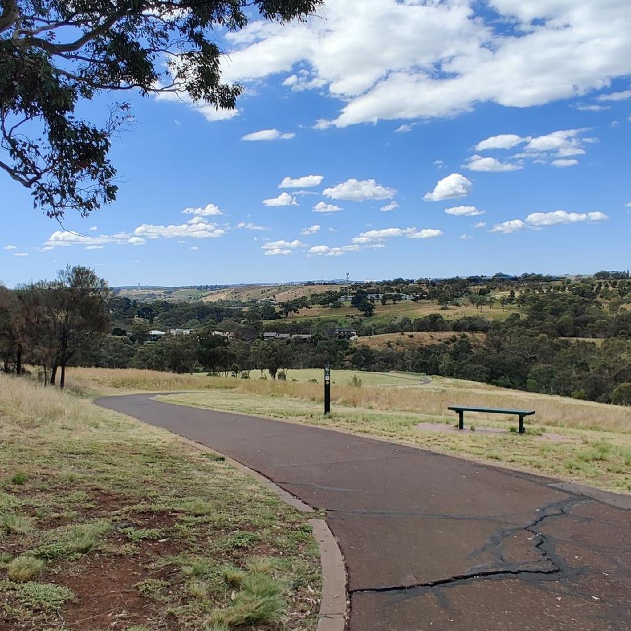
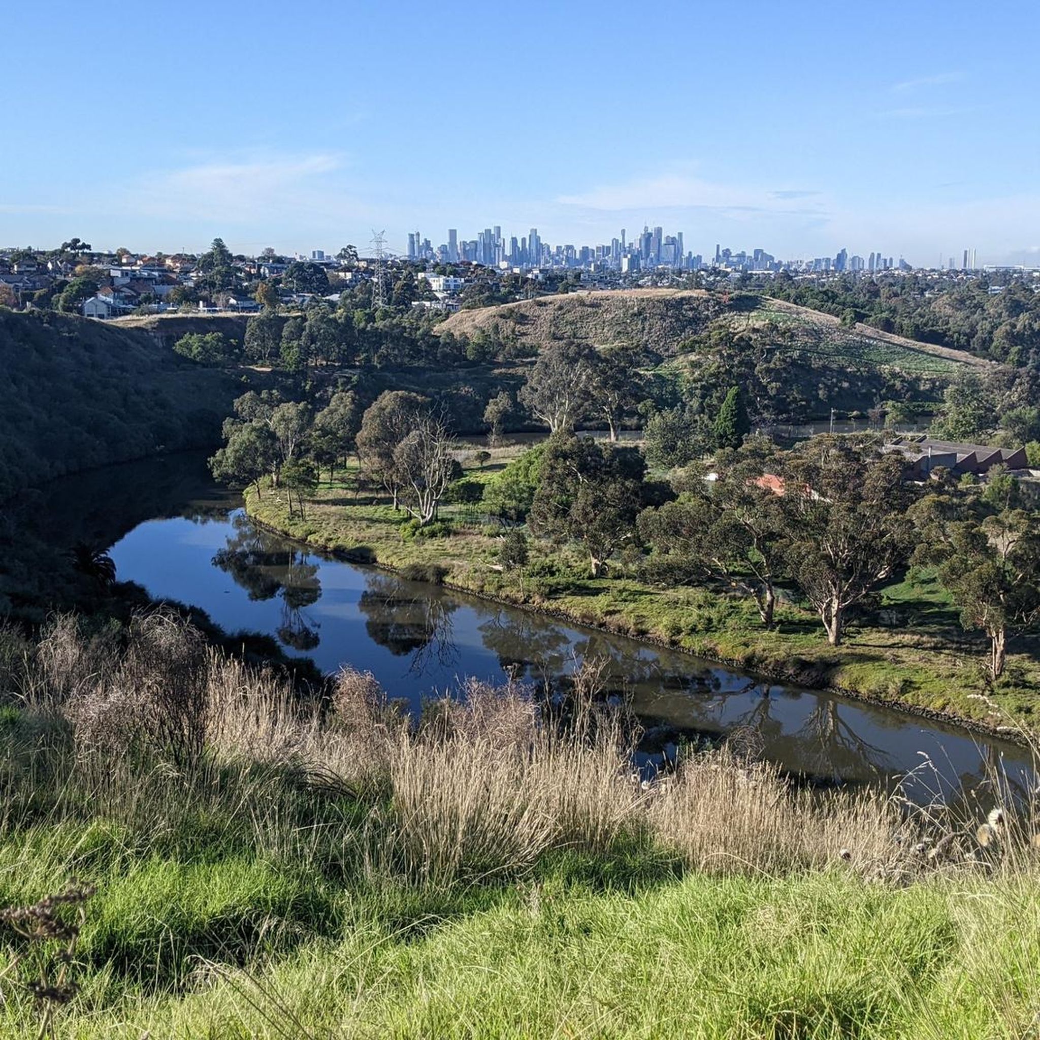
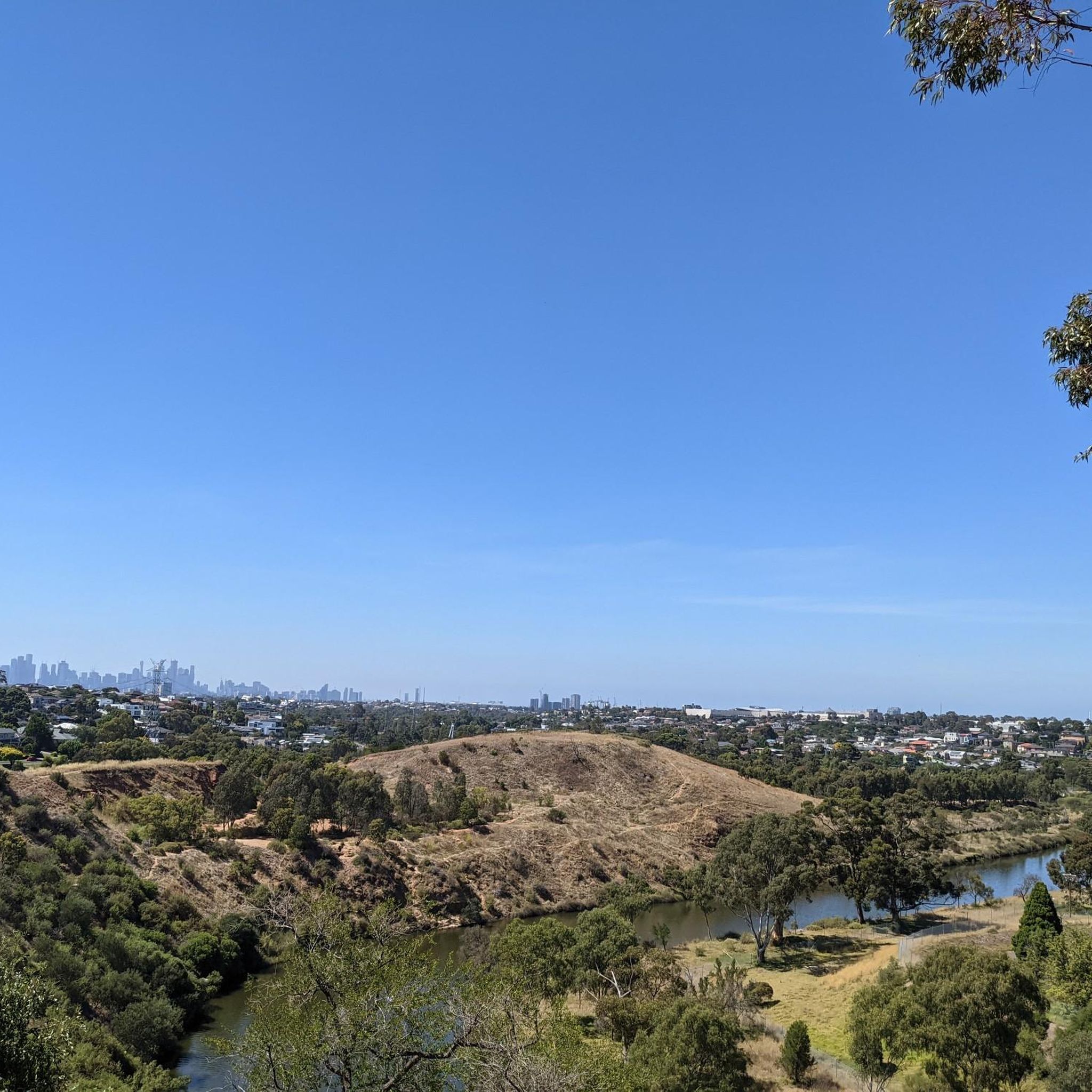
Road cycling in Maribyrnong Valley Parklands offers an extensive network of routes through diverse landscapes. The region is characterized by the Maribyrnong River, which has carved a deep valley through basalt plains, creating varied terrain with some hills. Cyclists can explore a mostly paved trail network, including the Maribyrnong River Trail, which provides smooth surfaces and scenic views. These parklands are located approximately 15 kilometers north-west of Melbourne, providing an accessible natural escape.
Best road cycling routes in Maribyrnong Valley…
Last updated: July 15, 2026
5.0
(1)
109
riders
22.1km
01:19
140m
140m
Easy road ride. Great for any fitness level. Mostly well-paved surfaces and easy to ride.
5.0
(4)
127
riders
59.9km
02:49
260m
260m
Moderate road ride. Good fitness required. Mostly well-paved surfaces and easy to ride.

Sign up for free
8
riders
38.5km
01:55
160m
160m
Easy road ride. Great for any fitness level. Mostly well-paved surfaces and easy to ride.
6
riders
74.6km
03:32
230m
230m
Moderate road ride. Good fitness required. Mostly well-paved surfaces and easy to ride.
6
riders
31.6km
01:26
90m
90m
Easy road ride. Great for any fitness level. Mostly well-paved surfaces and easy to ride.
Get access to more routes and recommendations from other explorers.
Sign up for free
Already have an account?
Our route recommendations are based on thousands of hikes, rides, and runs completed by other people on komoot.
Start today with a free account
Your next adventure awaits.
Login or Signup
Popular around Maribyrnong Valley Parklands
Tips from the Community

Around the Port Philip Monument is a junction of 3 bike paths. The Footscray Road Trail, Maribyrong River Trail, and Dixon Veloway converge at different points in this junction. It is a well-organized, clearly marked junction and quite impressively arranged!
0
0

Maribyrnong River Trail is a great multi-use path that follows the river for roughly 25 kilometres, connecting the inner suburbs to Melbourne’s northwest. The trail combines sealed paths with riverside scenery, passing parks, wetlands, and historical sites along the way. It’s relatively flat and easy, making it an ideal route for both casual walkers and longer-distance cyclists.
0
0
Footscray Park is a large heritage-listed riverside park along the Maribyrnong River, known for its beautiful ornamental gardens, open lawns, and mature trees. Established in the early 20th century, the grounds include landscaped terraces, rose gardens, and plenty of picnic areas with expansive views of the city skyline. Its riverside paths connect directly to the Maribyrnong River Trail, making it a popular starting point for walking and cycling.
0
0
Kororoit Creek is the crown jewel of the Kororoit Creek Trail. This river winds through Melbourne’s western suburbs toward Port Phillip Bay and is home to restored bushland, grassy floodplains, and urban green spaces. The trail is flat and paved, but keep an eye on updated trail conditions, as sections may be prone to flooding after heavy rain.
0
1
Along the Kororoit Creek Trail sit five stone sculptures of local animals that inhabit this part of the creek. These sculptures include an eastern long-necked turtle, a growling grass frog, a Cunningham skink, a kingfisher, and an echidna. Artist Joe Pratt carved the animals from local basalt rock. Can you find all five?
0
0
Anglers Tavern is a waterfront bistro with awesome river views from its dining room with big windows. It has great food, including fish, and lots of parking.
1
0
Pipemakers Park sits along the Maribyrnong River and has displays on industrial and Indigenous history. Here you'll find Melbourne's Living Museum of the West, "Pipedreams" Sculpture, the Nature Playground, and the History of the Land Discovery Trail garden. There are two large free car parks, so it's a great place to start a hike as well.
0
0
Burndap Lake is an artificial tidal basin in an urban area. The lake level depends on the Maribyrnong River's water level, as they are connected. There are flat, paved paths around the lake and a dock for boating and fishing. The surrounding park has all sorts of amenities.
0
0
Frequently Asked Questions
What kind of terrain can I expect when road cycling in Maribyrnong Valley Parklands?
The Maribyrnong Valley Parklands offer diverse terrain for road cyclists. You'll find a mostly paved trail network, including the scenic Maribyrnong River Trail, which provides smooth surfaces. The region is characterized by the Maribyrnong River carving a deep valley through basalt plains, leading to varied landscapes that include some hills, offering a good workout. While many routes are easy and paved, some may include unpaved segments or more significant elevation changes.
Are there road cycling routes suitable for beginners or families in the parklands?
Yes, the Maribyrnong Valley Parklands cater to various fitness levels. Many routes are easy and mostly paved, making them ideal for beginners and families. For example, the JJ Holland Park Skatepark – Dixon Veloway loop from City of Moonee Valley is an easy 22.4 km ride that offers a smooth experience through urban parklands.
How many road cycling routes are available in Maribyrnong Valley Parklands?
There are over 35 road cycling routes available in Maribyrnong Valley Parklands, ranging from easy to moderate difficulty. This extensive network provides plenty of options for exploration, with over 1700 road cyclists having already used komoot to discover the area.
What are some notable landmarks or natural features I might see while cycling?
As you cycle through the Maribyrnong Valley Parklands, you can enjoy varied scenery including river lands, escarpments, and grasslands, particularly around Brimbank Park. The encircling ridges of the river escarpment offer panoramic views. You might also encounter points of interest like Pipemakers Park, Frog Hollow Wetlands, and the impressive Heavenly Queen Temple with its statue of 'Mazu', adding cultural and historical elements to your ride. The parklands are also home to native flora and fauna, offering opportunities for birdwatching and wildlife encounters.
Are there any longer or more challenging road cycling routes for experienced riders?
For more experienced riders seeking longer distances and diverse scenery, routes that integrate with other networks are available. The Docklands Waterfront – Capital City Trail loop from Keilor Plains is a moderate 60.5 km path that connects with the Capital City Trail, providing extended riding opportunities and varied landscapes.
Where can I park my car when visiting the Maribyrnong Valley Parklands for cycling?
The Maribyrnong Valley Parklands are well-equipped with amenities, including parking lots at various points along the trails. Brimbank Park, a significant attraction within the parklands, also offers convenient parking facilities, making it easy to start your ride.
Are there facilities like restrooms or cafes along the cycling routes?
Yes, the parklands are well-equipped with amenities to enhance your cycling experience. You'll find restrooms and picnic sites at various locations, including Brimbank Park. Additionally, there are cafes along some routes, providing convenient refreshment stops during your ride.
What do other road cyclists enjoy most about the Maribyrnong Valley Parklands?
The Maribyrnong Valley Parklands are highly rated by the komoot community, with an average score of 4.5 stars from over 50 reviews. Cyclists often praise the diverse landscapes, the smooth and scenic Maribyrnong River Trail, and the variety of routes suitable for different ability levels. The natural beauty and escape from the urban bustle are frequently highlighted.
Can I find loop trails for road cycling in the Maribyrnong Valley Parklands?
Yes, many of the road cycling routes in the Maribyrnong Valley Parklands are designed as loops, offering convenient starting and ending points. An example is the View of the Maribyrnong River loop from St Albans, a 38.3 km trail that takes you through the scenic river valley.
What is the best time of year to go road cycling in Maribyrnong Valley Parklands?
The Maribyrnong Valley Parklands are enjoyable for road cycling throughout much of the year. Spring and autumn generally offer the most pleasant temperatures for riding. While winter cycling is possible, it's always advisable to check local weather conditions before heading out, as the region can experience varied weather.
Are there any bicycle repair stations or services available in the parklands?
Yes, to further enhance the cycling experience, the Maribyrnong Valley Parklands are equipped with amenities such as bicycle pump and repair stations at various points along the trails, ensuring you're prepared for minor adjustments or emergencies during your ride.
Most popular routes in Maribyrnong Valley Parklands

Get inspired with the komoot mobile app


Explore more
Browse the best Road cycling routes in other regions.
