The best road cycling routes in Silvan Reservoir
24
riders
2
rides
Road cycling routes in Silvan Reservoir are situated at the base of the Dandenong Ranges, characterized by expansive eucalypt forests and natural bushland. The terrain features a mix of paved roads and some unpaved sections, offering varied cycling experiences. Elevation profiles range from gentle gradients to significant climbs and descents, with many routes winding through the Dandenong Ranges National Park. The area includes historical features like the reservoir itself, completed in 1932, and stone terraces from the 1930s.
Best road…
Last updated: July 12, 2026
9
riders
29.3km
01:51
740m
740m
Moderate road ride. Good fitness required. Some segments of this route may be unpaved and difficult to ride.
7
riders
62.5km
03:33
900m
900m
Moderate road ride. Good fitness required. Some segments of this route may be unpaved and difficult to ride.

Sign up for free
1
riders
23.2km
01:11
360m
360m
Moderate road ride. Good fitness required. Some segments of this route may be unpaved and difficult to ride.
3
riders
23.2km
01:23
460m
460m
Moderate road ride. Good fitness required. Some segments of this route may be unpaved and difficult to ride.
3
riders
22.4km
01:31
200m
190m
Easy road ride. Great for any fitness level. Mostly well-paved surfaces and easy to ride.
Our route recommendations are based on thousands of hikes, rides, and runs completed by other people on komoot.
Start today with a free account
Your next adventure awaits.
Login or Signup

Tips from the Community

Grants Picnic Ground is a popular day-use area in the Sherbrooke Forest section of Dandenong Ranges National Park. Surrounded by tall mountain ash and tree ferns, there are multiple picnic tables, shelters, toilets, plenty of parking and access to several walking tracks, including Lyrebird Walk. The area is also known for close encounters with native birdlife, especially cockatoos and rosellas, making it a well-known starting point and lunch spot while exploring the surrounding forest.
0
0

Fairpark Reserve is a large green space, with the paved Blind Creek Trail running through its center. This park is home to a large football oval, a cricket pavilion, a cricket net, netball courts, and a playground.
0
0
This trailhead for the Blind Creek Trail is the eastern terminus for the trail, and where it meets the Ringwood-Belgrave Rail Trail. The Blind Creek Trail spans 11 kilometers west from this point.
0
0
Hall Track is a gentle, well-maintained forest trail that winds through the cool, shaded slopes of the Sherbrooke area, surrounded by tall eucalypts and dense undergrowth. The path is generally easy to follow, making it a popular connector between picnic areas and longer walking routes. Along the way, keep an eye out for lyrebirds, wallabies, and rosellas, which are often spotted in the area. The quiet bush setting and occasional fern-lined sections give the walk a peaceful, immersive feel typical of the central Dandenong Ranges.
0
0
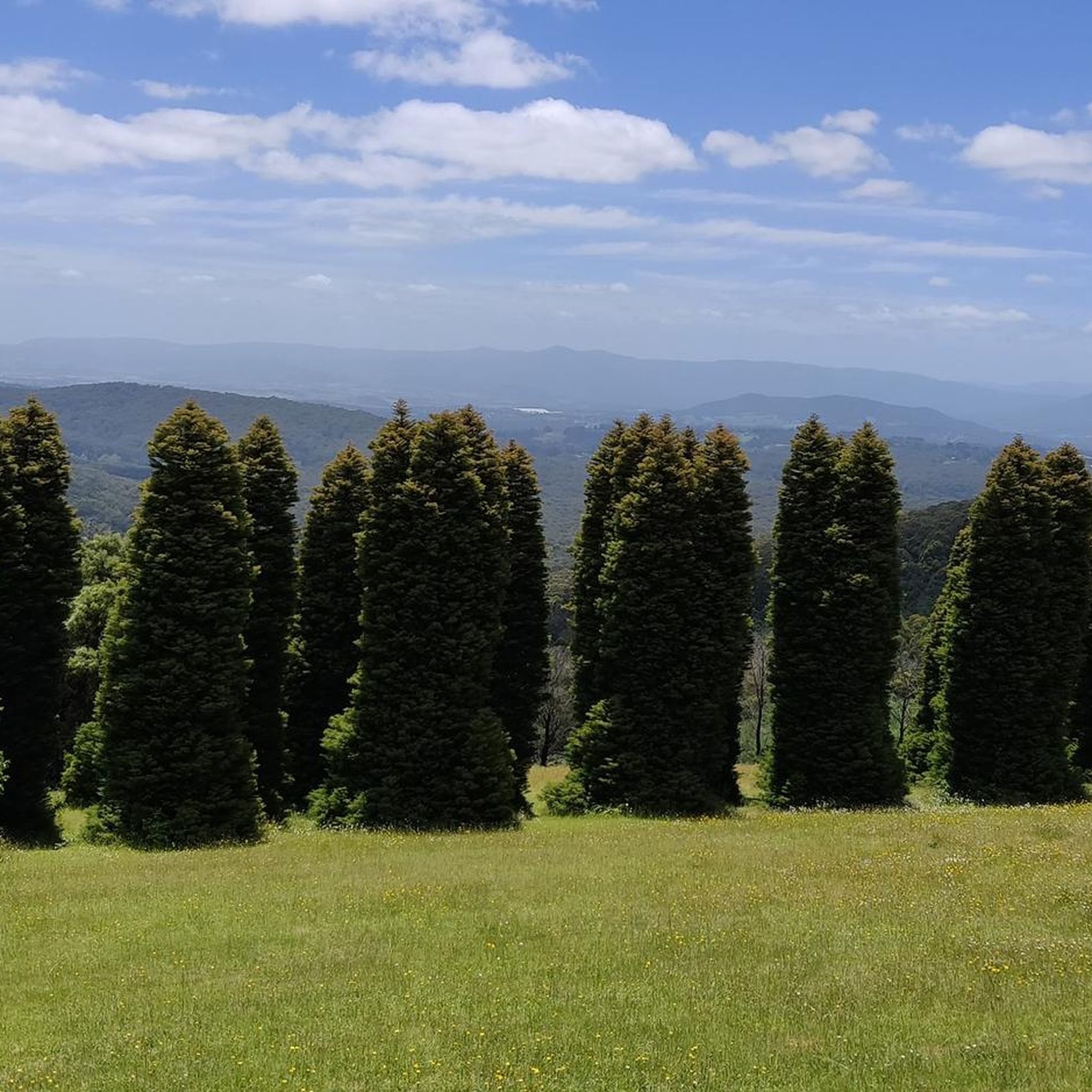
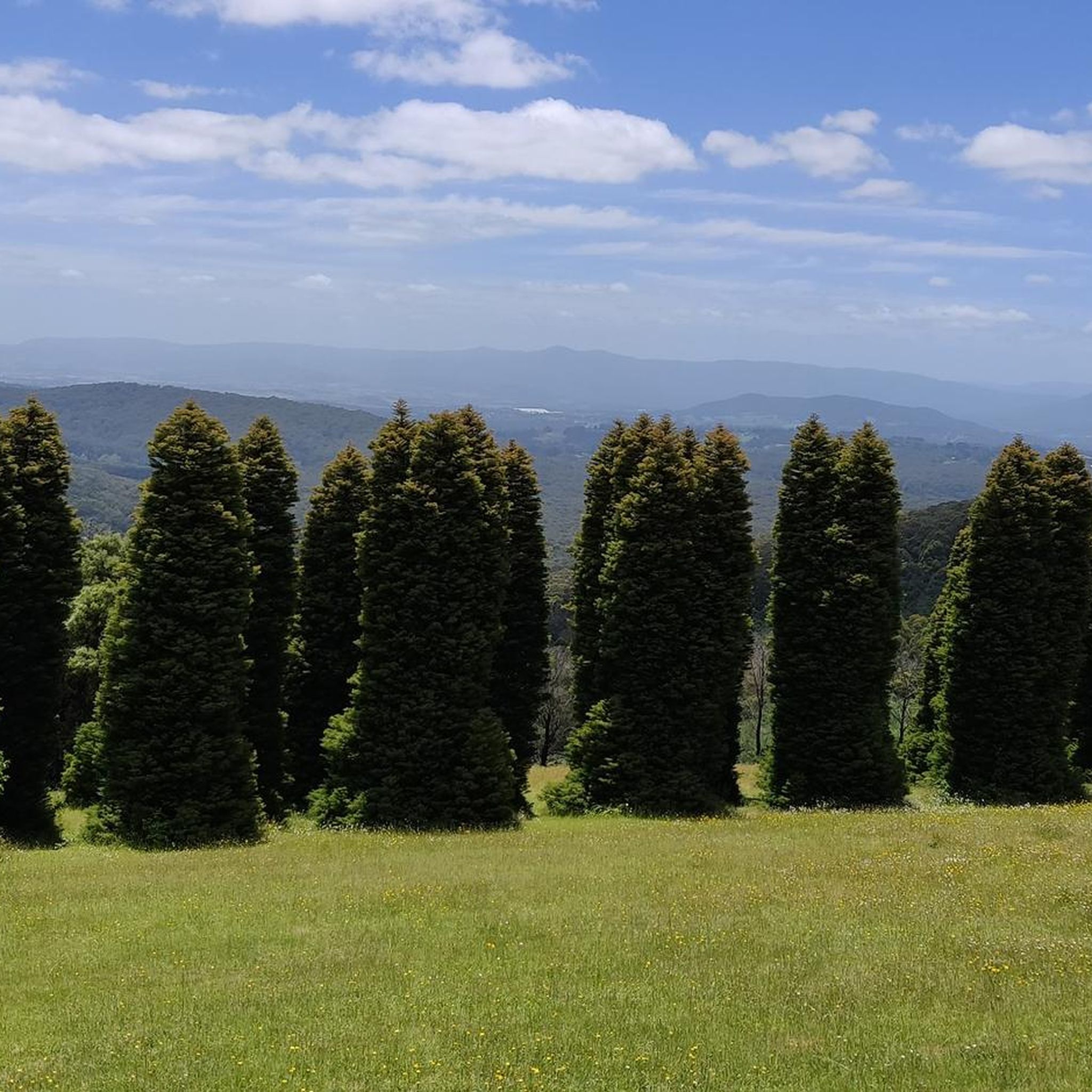
From this spot at the summit of the Kokoda Memorial Walk, the trail emerges from the rainforest into a clearing with plenty of benches, offering a welcome rest after the steep staircase climb. There are filtered views toward Melbourne through the trees, a quiet vantage point above the Dandenong Ranges. It’s a natural pause point before either looping down or soaking in the views after the long ascent.
0
0

Classic Melbourne climb. Climb 2 of the classic crucifix route
0
0
Frequently Asked Questions
What kind of terrain can I expect on road cycling routes around Silvan Reservoir?
The road cycling routes in the Silvan Reservoir area, situated at the base of the Dandenong Ranges, feature a mix of paved roads and some unpaved sections. You'll encounter varied elevation profiles, from gentle gradients suitable for easier rides to significant climbs and descents on more strenuous options. Many routes wind through expansive eucalypt forests and natural bushland, offering diverse scenery.
Are there any easy road cycling routes for beginners or families near Silvan Reservoir?
Yes, there are options for various skill levels. For an easier ride, consider the Lake Knox loop from Upwey. This route covers approximately 22 km with a more gentle elevation gain, making it suitable for those looking for a less strenuous experience. While the guide doesn't specifically list 'family-friendly' routes, easier routes with minimal elevation are generally more suitable for families.
What are some notable natural features or landmarks to look out for while cycling in the Silvan Reservoir area?
As you cycle, you'll be immersed in expansive eucalypt forests and natural bushland. The Silvan Reservoir itself, completed in 1932, is a significant historical feature. You might also spot stone terraces and vine-covered pergolas from the 1930s, especially around the park areas. The region is also a haven for birdwatchers, with species like Kookaburras, Cockatoos, and Herons frequently seen.
Can I bring my dog on the cycling trails around Silvan Reservoir?
While the Silvan Reservoir Park offers walking tracks, specific regulations for dogs on cycling trails within the Dandenong Ranges National Park and surrounding reserves can vary. It's always best to check the current guidelines for the specific reserve or park you plan to visit. For general park information, you can consult the Parks Victoria website.
What is the best time of year for road cycling in the Silvan Reservoir and Dandenong Ranges area?
The region offers enjoyable cycling for much of the year. However, it's advisable to be prepared for potential weather changes characteristic of high-country areas. During high-risk periods, especially in warmer months, be mindful of bushfire safety. Spring and autumn often provide pleasant temperatures and beautiful scenery, with azaleas and rhododendrons blooming in certain areas during spring.
Are there any challenging road cycling routes for experienced cyclists?
Yes, the Dandenong Ranges offer routes with significant climbs and descents for those seeking a challenge. For instance, the Elephant Rock – Gembrook G66 Bushland Reserve loop from Lakeside is a moderate 62.5 km route with nearly 900 meters of elevation gain, providing a substantial workout. Other routes like the Olinda G166 Bushland Reserve – Olinda G165 Bushland Reserve loop from Tecoma also feature over 700 meters of ascent.
Where can I find parking for road cycling routes near Silvan Reservoir?
The Silvan Reservoir Park offers well-maintained picnic areas and large, open lawns, which typically include parking facilities. For specific trailheads, it's recommended to check the starting points of individual routes on komoot, as many will indicate nearby parking options. Always ensure you park in designated areas.
Are there any cafes or places to stop for refreshments along the road cycling routes?
While the routes themselves often traverse natural bushland and reserves, the towns and communities surrounding Silvan Reservoir and within the Dandenong Ranges offer various cafes, pubs, and accommodation options. Planning your route to pass through or near these towns will allow for refreshment stops. The region is known for its charming local establishments.
How many road cycling routes are available in the Silvan Reservoir area on komoot?
Komoot features several road cycling routes in the Silvan Reservoir area, with options ranging from approximately 22 km to over 62 km in length. These routes cater to different fitness levels, from easy to moderate, and collectively have been explored by over 20 road cyclists using komoot.
What kind of wildlife might I encounter while cycling around Silvan Reservoir?
The Silvan Reservoir Park and surrounding bushland are rich in birdlife. You might spot various species including Kookaburras, Robins, Cockatoos, Rosellas, Herons, and Pied Cormorants. While cycling, you're immersed in natural environments, so keeping an eye out for local fauna can enhance your experience.
Are there any permits required for road cycling in the Silvan Reservoir or Dandenong Ranges National Park area?
Generally, permits are not required for road cycling on public roads or designated cycling paths within the Silvan Reservoir area or Dandenong Ranges National Park. However, it's always good practice to check the latest regulations from Parks Victoria for any specific areas or events, especially if you plan to venture off established routes. You can find more information on the Parks Victoria website.
What is the longest road cycling route available in this guide?
The longest route highlighted in this guide is the Elephant Rock – Gembrook G66 Bushland Reserve loop from Lakeside. This moderate route spans approximately 62.5 km and includes nearly 897 meters of elevation gain, offering a significant ride for those looking for distance and challenge.
Most popular routes in Silvan Reservoir

Get inspired with the komoot mobile app


Explore more
Browse the best Road cycling routes in other regions.
