The best road cycling routes in Churchill National Park
4.7
(18)
469
riders
20
rides
Road cycling routes in Churchill National Park, located east of Melbourne, Victoria, traverse a landscape characterized by open woodlands and preserved forests. The park features varied terrain, including gravel tracks with significant hills and more peaceful routes winding through wooded areas. Cyclists can experience a mix of challenging climbs and gentler paths, with elevations reaching over 500 meters on some routes. This natural setting offers a diverse environment for road cycling, showcasing native plant life and wildlife.
Best road cycling…
Last updated: July 12, 2026
19
riders
Moderate road ride. Great for any fitness level. Some segments of this route may be unpaved and difficult to ride.
4.0
(1)
48
riders
75.0km
03:42
530m
530m
Moderate road ride. Good fitness required. Some segments of this route may be unpaved and difficult to ride.

Sign up for free
5.0
(1)
52
riders
49.2km
02:33
340m
340m
Moderate road ride. Good fitness required. Some segments of this route may be unpaved and difficult to ride.
4.7
(6)
34
riders
35.2km
01:48
110m
110m
Easy road ride. Great for any fitness level. Mostly well-paved surfaces and easy to ride.
7
riders
49.3km
02:34
420m
420m
Moderate road ride. Good fitness required. Some segments of this route may be unpaved and difficult to ride.
Get access to more routes and recommendations from other explorers.
Sign up for free
Already have an account?
Our route recommendations are based on thousands of hikes, rides, and runs completed by other people on komoot.
Start today with a free account
Your next adventure awaits.
Login or Signup

Tips from the Community

Gardiners Creek Trail follows Gardiners Creek known as Kooyongkoot to the Wurundjeri Woi-wurrung people. The river flows though urban areas of Melbourne and is a major tributary of the Yarra River. The path itself is flat, smoothly paved, and great for bikers, runners, commuters, and pushing prams. The eastern end of the path is at Blackburn Road near the Blackburn Creeklands Reserve, and the western end is at the start of the Main Yarra Trail near St Kevin's College.
0
0
The Hawthorn Velodrome is an oval outdoor cycling track located within Patterson Reserve. The track is open to the public, so there are athletes training and casual bikers who come to take laps. The track hours depend on the season. From April to October it's open from 7:00 am to 6:00 pm daily, and from November to March it's open from 8:00 am to 8:00 pm daily.
1
0

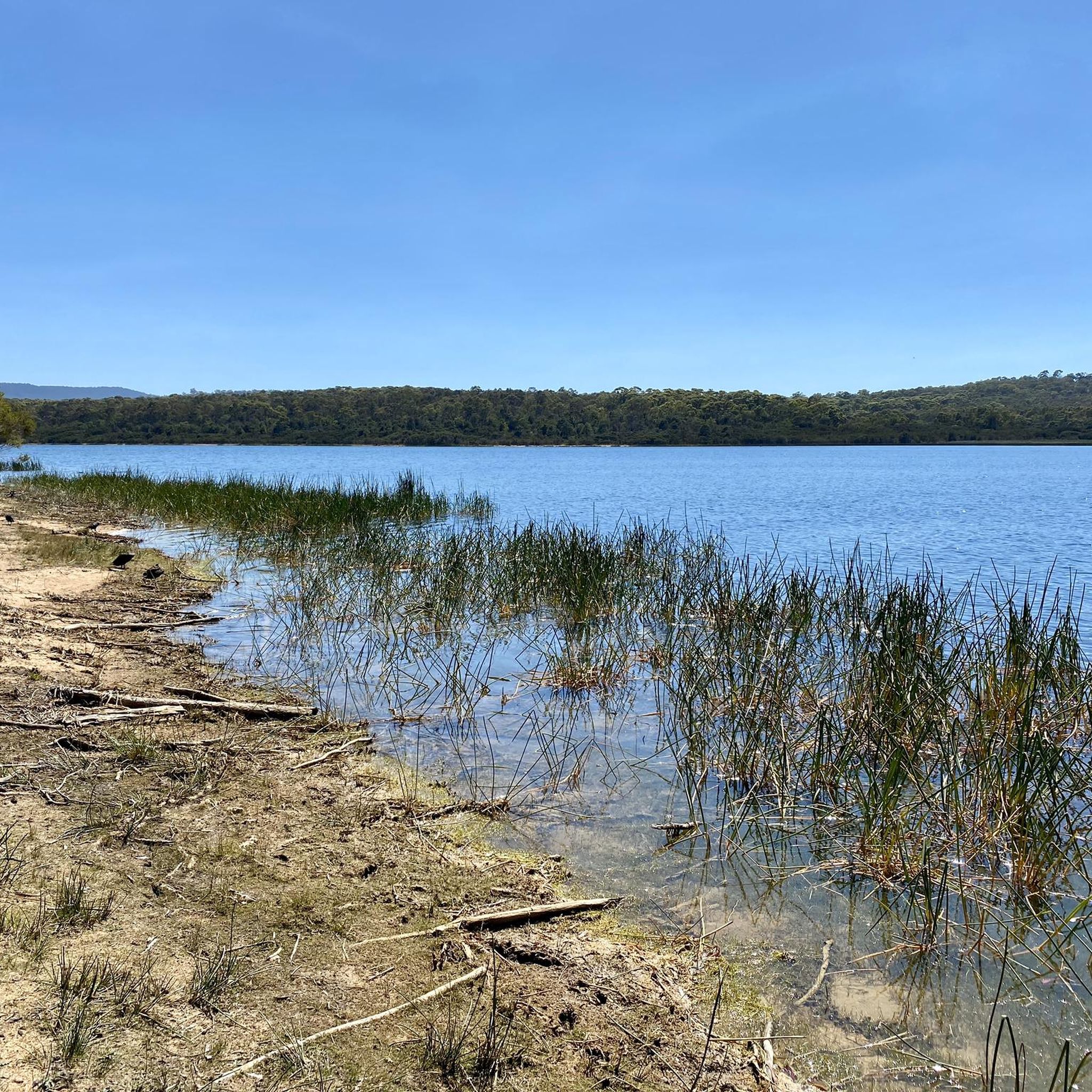
Jells Lake sits at the centre of Jells Park and is the heart of the reserve. As you walk around the lake, you’ll pass wetlands and sheltered viewing areas that are great for birdwatching. This lake is home to a wide variety of waterbirds, including pelicans, swamphens, ducks and cormorants. There are boardwalks and jetties popular for fishing, and a bird hide, perfect for a quiet place to pause and take in the lakeside surroundings.
0
0

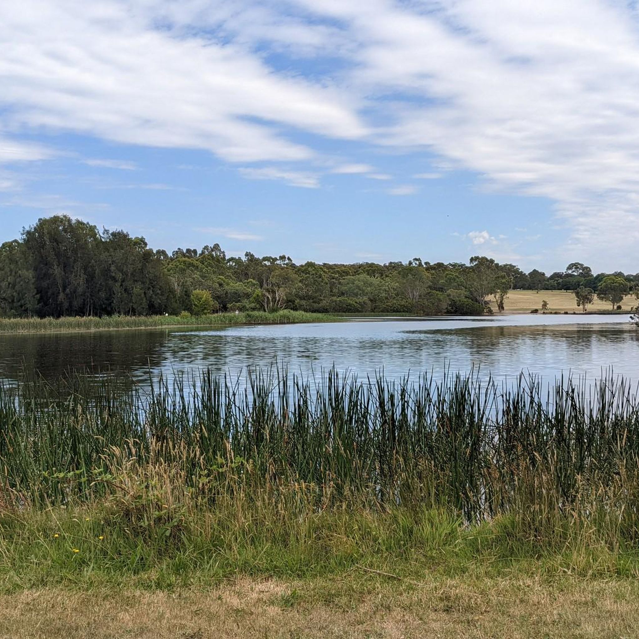
Running through Melbourne’s eastern suburbs, Dandenong Creek forms a continuous green corridor of wetlands, grassland, and riparian vegetation. The creek moves steadily through the landscape, with sections of open water, reed beds, and shaded banks supporting birdlife and other fauna. Its course shapes much of the surrounding trail network, with paths closely following the water for extended stretches. Conditions along the creek can vary depending on rainfall, with higher water levels after wet periods.
0
0

This bridge marks the junction between the Dandenong Creek Trail and the Ringwood–Belgrave Rail Trail, creating a key link within Melbourne’s eastern trail network. Crossing over Dandenong Creek, it offers a brief elevated view of the water and surrounding vegetation.
1
0
Gardiners Creek Trail runs for around 20 kilometres through Melbourne’s eastern suburbs, following Gardiners Creek from Blackburn to the Main Yarra Trail in Burnley. The route passes through a mix of wetlands, parklands, and reserves, including Blackburn Creeklands and Gardiners Creek Reserve, with regular birdlife along the water. It also moves through a series of suburban green spaces and under major roads, tracking alongside the Monash Freeway before crossing the Yarra River to connect into the wider trail network.
0
0
Collier Reserve has a carpark, a little creek running through it, a long line of trees and bushes that curtains off a big grassy area, and metal arches that go over the bike trail. This metal arch is an art installation made of bike parts welded together. There's a bike repair station and a few bike paths accessible from here, including the Blind Creek Trail, Burnwood Highway Trail, and Stud Road Trail.
2
0
Frequently Asked Questions
What kind of road cycling routes can I expect in Churchill National Park?
Churchill National Park offers a diverse road cycling experience, characterized by open woodlands and preserved forests. You'll find a mix of varied terrain, including gravel tracks with significant hills for a challenging ride, and more peaceful routes winding through wooded areas. The park provides options for different preferences and fitness levels.
What is the difficulty level of road cycling routes in Churchill National Park?
The road cycling routes in Churchill National Park range from easy to moderate difficulty. There are 9 easy routes and 12 moderate routes available. Some routes feature significant elevation gain, with one popular route reaching over 500 meters of ascent, offering a good challenge for experienced riders.
Are there any paved road cycling routes in Churchill National Park?
While many main tracks in Churchill National Park are gravel, the park's network includes routes suitable for road cycling. The eastern boundary track is particularly recommended for cycling. For routes that might incorporate more paved sections, consider exploring options like the Oakleigh Pioneer Cemetery loop from Dandenong, which is rated as easy.
What natural features or landmarks can I see while cycling in Churchill National Park?
While cycling, you can experience the park's rich natural beauty, including diverse woodlands with over a dozen eucalypt species and native orchids, especially vibrant in spring. Keep an eye out for abundant wildlife, such as Eastern Grey Kangaroos and Swamp Wallabies. For panoramic views, you can make your way to the Trig Point Lookout. The park also features historical elements like remnants of the Scoresby Tramway and an old aqueduct.
When is the best time of year to go road cycling in Churchill National Park?
Spring is an excellent time to visit Churchill National Park for road cycling, as wildflowers are abundant, and the park is particularly beautiful. However, the park offers enjoyable cycling opportunities throughout the year, allowing you to experience its diverse landscapes and wildlife in different seasons. Always check local weather conditions before your ride.
Are the road cycling routes in Churchill National Park family-friendly?
Yes, Churchill National Park offers several easy road cycling routes that can be suitable for families. With 9 easy routes available, you can find gentler paths that wind through the wooded areas, providing a pleasant experience for various skill levels. Always check the specific route details for distance and elevation to ensure it matches your family's capabilities.
Where can I park my car when visiting Churchill National Park for road cycling?
Churchill National Park provides picnic grounds with facilities at the end of the access road, which typically include parking areas. When planning your route, consider starting points that offer convenient parking, such as those near the park's main entrances or designated visitor areas.
Is Churchill National Park accessible by public transport for cyclists?
Public transport options to Churchill National Park are available, with bus routes serving areas near the park. For detailed information on bus stops and routes, particularly for cyclists looking to access the park, it's advisable to consult local public transport schedules or visit the Parks Victoria website for the most current advice.
Are there cafes or amenities near the road cycling routes in Churchill National Park?
Within Churchill National Park itself, picnic grounds with gas barbecues, toilets, and shelter are available. For cafes, pubs, or more extensive amenities, you would typically find these in the nearby towns and suburbs surrounding the park, such as Scoresby or Rowville, which are common starting points for many routes.
What do other road cyclists enjoy the most about road cycling in Churchill National Park?
The road cycling routes in Churchill National Park are highly rated by the komoot community, with an average score of 4.6 stars from over 15 reviews. Cyclists often praise the park's varied terrain, which offers both challenging climbs and peaceful tracks, as well as the opportunity to experience its open woodlands and preserved forests.
Can I connect to other cycling areas from Churchill National Park?
Yes, there is an access path to the nearby Lysterfield Lake via the Lysterfield Hills track, which is approximately 7.2 km long. This connectivity allows for extended cycling routes and the opportunity to explore adjacent natural areas, such as Lysterfield Park.
Are there any long-distance road cycling routes that include Churchill National Park?
Churchill National Park is often incorporated into longer rides that extend into the surrounding areas. For example, the View of Melbourne Skyline – Huntingdale Wetlands loop from Scoresby is a moderate 75.4 km path that offers expansive views and significant elevation gain, providing a substantial ride for those looking for distance.
Most popular routes in Churchill National Park

Get inspired with the komoot mobile app


Explore more
Browse the best Road cycling routes in other regions.
