The best cycling routes in Morialta Conservation Park
4.7
(51)
1,659
riders
40
rides
Touring cycling in Morialta Conservation Park offers routes through varied terrain, characterized by hills, valleys, and natural bushland. The park features a network of trails that connect to broader regional paths, including sections along the River Torrens. Elevations vary, providing options from relatively flat riverside stretches to more challenging climbs through the Adelaide Hills foothills. The landscape includes areas of dense vegetation and open spaces, suitable for different cycling preferences.
Best touring cycling routes in Morialta Conservation Park
- The most popular touring cycling route is River Torrens Linear Park – River Torrens loop from Magill, a 39.7 miles (63.9 km) trail that takes 3 hours 43 minutes to complete. This moderate route follows the River Torrens, offering a scenic and extended ride.
- Another top favourite among local touring cyclists is Uraidla Hotel – Greenhill Wines loop from Magill, a difficult 21.6 miles (34.8 km) path. This route features significant elevation gain through the hills, providing a challenging experience with views of vineyards and natural landscapes.
- Local touring cyclists also love the Greenhill Wines – Uraidla Hotel loop from Magill, a 27.6 miles (44.5 km) trail leading through the Adelaide Hills, often completed in about 3 hours 11 minutes. This difficult route includes substantial climbing and descends through rural areas.
- Touring cycling in Morialta Conservation Park is defined by rolling hills, natural bushland, and access to riverine paths. The network offers options for different ability levels, from moderate loops to more difficult climbs.
- The routes in Morialta Conservation Park are highly rated by the komoot community with an average score of 4.7 stars from more than 40 reviews. More than 1800 touring cyclists have used komoot to explore Morialta Conservation Park's varied terrain.
Last updated: July 2, 2026
19
riders
34.8km
02:32
770m
770m
Hard bike ride. Very good fitness required. Mostly paved surfaces. Suitable for all skill levels.
4
riders
46.2km
03:13
790m
790m
Hard bike ride. Very good fitness required. Mostly paved surfaces. Suitable for all skill levels.

Sign up for free
5.0
(1)
56
riders
34.1km
02:31
750m
750m
Hard bike ride. Very good fitness required. Mostly paved surfaces. Suitable for all skill levels.
5.0
(1)
35
riders
Easy bike ride. Great for any fitness level. Mostly paved surfaces. Suitable for all skill levels.
15
riders
32.6km
02:24
770m
770m
Hard bike ride. Very good fitness required. Mostly paved surfaces. Suitable for all skill levels.
Get access to more routes and recommendations from other explorers.
Sign up for free
Already have an account?
Our route recommendations are based on thousands of hikes, rides, and runs completed by other people on komoot.
Start today with a free account
Your next adventure awaits.
Login or Signup
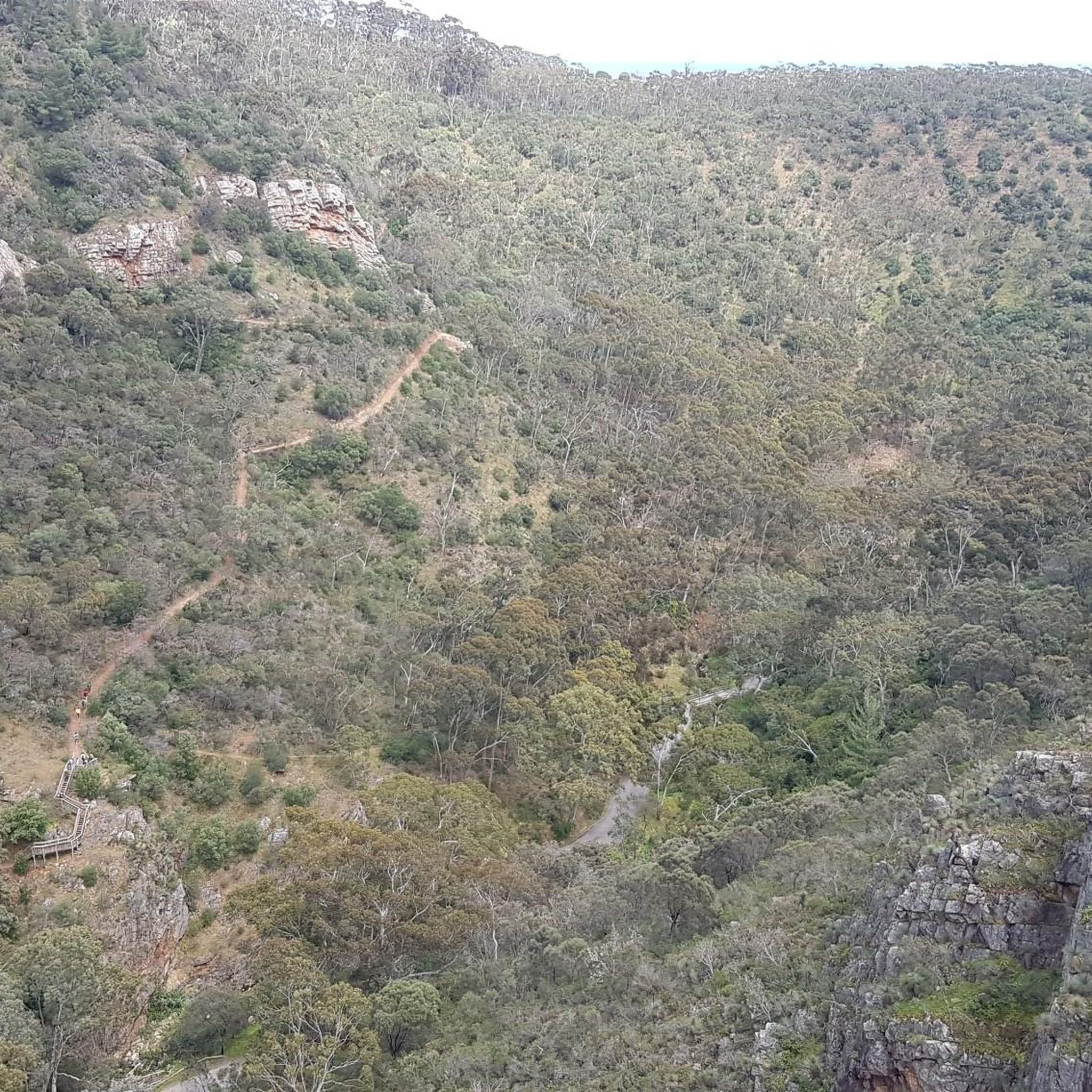


Tips from the Community

Lochiel Park has everything from walking paths, basketball courts, open fields, small ponds, wetlands, and even the historic Lochend House. The park also connects with the Torrens Linear Parkway, which runs all the way from the Adelaide Hills to the coast.
0
0
This nearly 35-kilometre shared-use path is one of Adelaide's premier trails. Starting in the Adelaide Hills the parkway follows the River Torrens through the city all the way to Henley and West Beach.
0
0

River Torrens (Karrawirra Pari) is Adelaide’s central river, flowing about 85 kilometres from the Adelaide Hills through the city centre and west to the sea at Henley Beach. Lined by parks, wetlands, and walking trails through much of metropolitan Adelaide, the river supports birdlife, recreation, and important green spaces while also holding deep cultural significance for the Kaurna people, who know it as Karrawirra Pari, meaning “red gum forest river.” Along its course, the river varies from narrow, tree-lined sections and wetlands to more expansive stretches, including the well-known waters of Torrens Lake in central Adelaide.
0
0
Mount Lofty is the highest point in the Mount Lofty Ranges and offers sweeping panoramic views across the city of Adelaide and the coastline of Gulf St Vincent. The summit features a well-known lookout, visitor facilities, and access to walking trails that pass through native bushland in the surrounding hills. Its elevated vantage point makes it one of the most popular viewpoints in the Adelaide Hills and a highlight of many nearby hiking routes.
0
0

Pakapakanthi Interpretive Trail guides you through grassland, wetland and woodland ecosystems in the southern half of Victoria Park (Park 16). Along the way, interpretive markers share insights into environmental processes, Kaurna cultural heritage and the landscape’s history before and after European colonisation. As you follow the trail, you’ll also catch open views toward the Adelaide city skyline, creating a contrast between natural systems and the urban edge.
0
0

This place always reminds me of Mary Poppins - though it’s small, it’s got something. There’s a water fountain, too.
1
0
This secluded place is easily passed by when riding on the bikeway. It’s worthwhile stopping here on the two park benches.
1
0
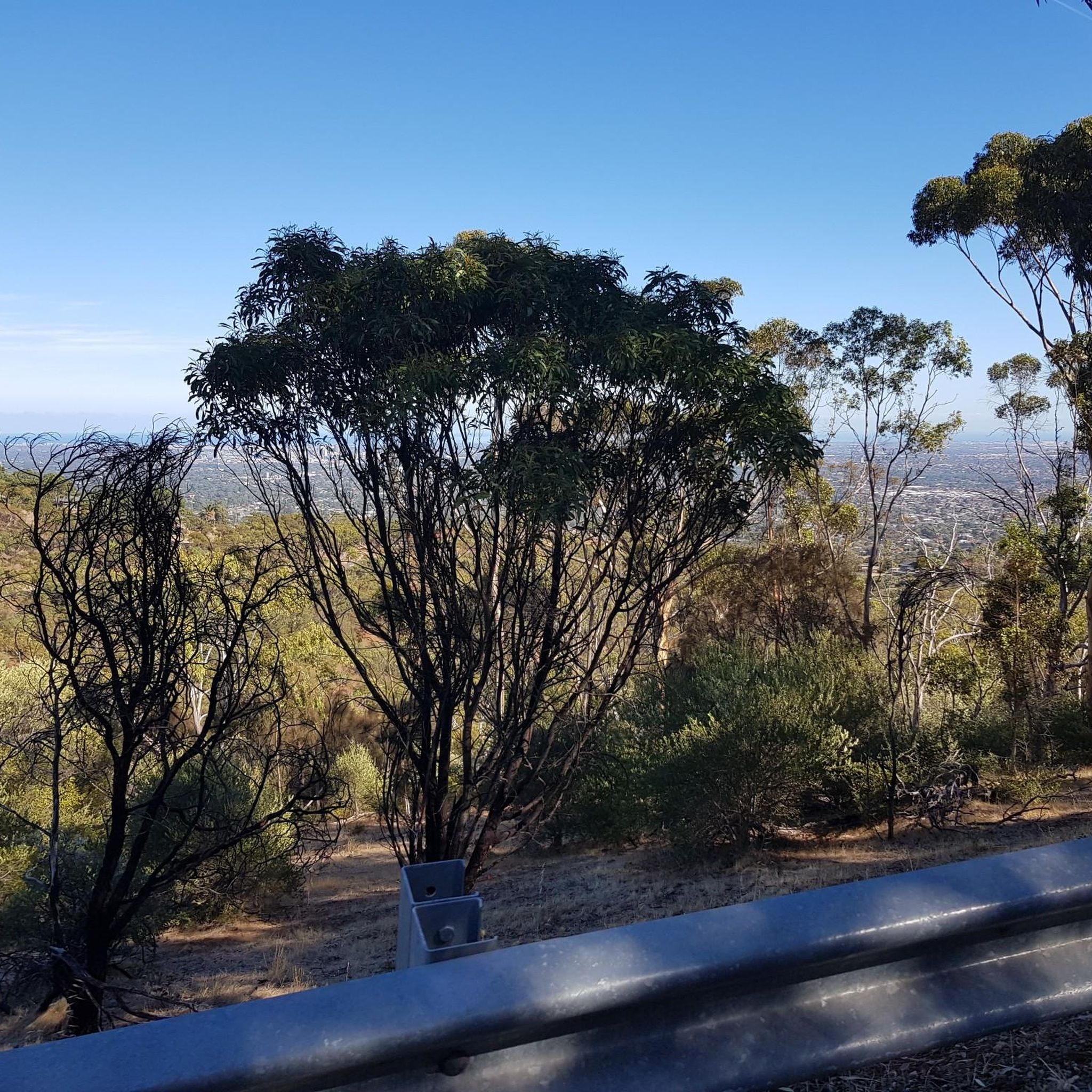
This photo is nearly at the end of the City to Hills bikeway. I‘d recommend to go up (towards the hills) on the left side because you’ll get more views like this.
1
0
Frequently Asked Questions
What is the range of difficulty for touring cycling routes in Morialta Conservation Park?
Morialta Conservation Park offers a diverse range of touring cycling routes. You'll find options from moderate rides, such as the River Torrens Linear Park – River Torrens loop from Magill, which follows the river, to more challenging routes with significant elevation gain through the Adelaide Hills foothills. There are 14 easy, 8 moderate, and 21 difficult routes available for touring cyclists.
Are there any family-friendly touring cycling routes in Morialta Conservation Park?
While many routes in Morialta Conservation Park feature hills and challenging terrain, there are easier options suitable for families looking for a less strenuous ride. These typically follow flatter sections or established paths. Look for routes categorized as 'easy' to find the most suitable options for a family outing.
What is the best time of year to go touring cycling in Morialta Conservation Park?
The best time for touring cycling in Morialta Conservation Park is generally during the cooler months of autumn (March to May) and spring (September to November). During these seasons, temperatures are milder, making for more comfortable rides. Summer can be very hot, and some trails might be closed on days of extreme fire danger.
Are there circular touring cycling routes available in Morialta Conservation Park?
Yes, many touring cycling routes in Morialta Conservation Park are designed as loops, allowing you to start and finish at the same point. Examples include the Uraidla Hotel – Greenhill Wines loop from Magill and the Greenhill Wines – Uraidla Hotel loop from Magill, which offer extensive rides through the Adelaide Hills.
What should I wear for touring cycling in Morialta Conservation Park?
Given the varied terrain and potential for significant elevation changes, it's advisable to wear comfortable, moisture-wicking cycling apparel. Layers are recommended, especially during cooler months or for rides that span different times of the day. Always bring a helmet, appropriate footwear, and sun protection, as the Australian sun can be intense.
Are there opportunities for wildlife spotting while touring cycling in Morialta Conservation Park?
Morialta Conservation Park is home to a variety of native wildlife, including kangaroos, koalas, and numerous bird species. Cycling quietly, especially during early morning or late afternoon, increases your chances of spotting animals in their natural habitat. Remember to observe from a distance and do not disturb the wildlife.
How many touring cycling routes are there in Morialta Conservation Park?
There are over 40 touring cycling routes available in Morialta Conservation Park, offering a wide range of distances and difficulties to suit different preferences and fitness levels.
What do other touring cyclists enjoy most about touring cycling in Morialta Conservation Park?
The area is highly rated by the komoot community, with an average score of 4.7 stars from over 40 reviews. Reviewers often praise the varied terrain, the challenging climbs through the Adelaide Hills, and the scenic views, particularly along routes like the Brownhill Creek – Victoria Park loop from Magill.
Are there any cafes or places to refuel near the touring cycling routes?
While Morialta Conservation Park itself is a natural area, many routes, especially those extending into the Adelaide Hills, pass through or near small towns and villages. For example, routes like the Ashton Hills Vineyard – Greenhill Wines loop from Magill will bring you close to areas where you can find cafes, wineries, and other establishments to refuel.
How long do touring cycling routes in Morialta Conservation Park typically take?
The duration of touring cycling routes varies significantly based on distance and difficulty. For instance, the moderate River Torrens Linear Park – River Torrens loop from Magill, at nearly 40 miles, typically takes around 3 hours and 43 minutes. Shorter, easier routes will take less time, while longer, more difficult routes through the hills can take 4 hours or more.
Is public transport available to access touring cycling routes in Morialta Conservation Park?
Public transport options to Morialta Conservation Park are available via Adelaide Metro bus services, which can drop you at stops near the park entrance. From there, you can connect to various cycling routes. It's advisable to check the Adelaide Metro website for current timetables and routes that accommodate bicycles.
Where can I park my car when visiting Morialta Conservation Park for touring cycling?
Morialta Conservation Park has designated parking areas, including the main car park off Morialta Falls Road. Additional parking may be available at trailheads or nearby residential streets, but always check local signage for restrictions. For routes starting further afield, such as those from Magill, local street parking or public car parks in those suburbs would be options.
Most popular routes in Morialta Conservation Park
Most popular attractions in Morialta Conservation Park

Get inspired with the komoot mobile app


Explore more
Browse the best Cycling routes in other regions.
