The best walks and hikes in Mclaren Vale District
4.7
(184)
2,243
hikers
110
hikes
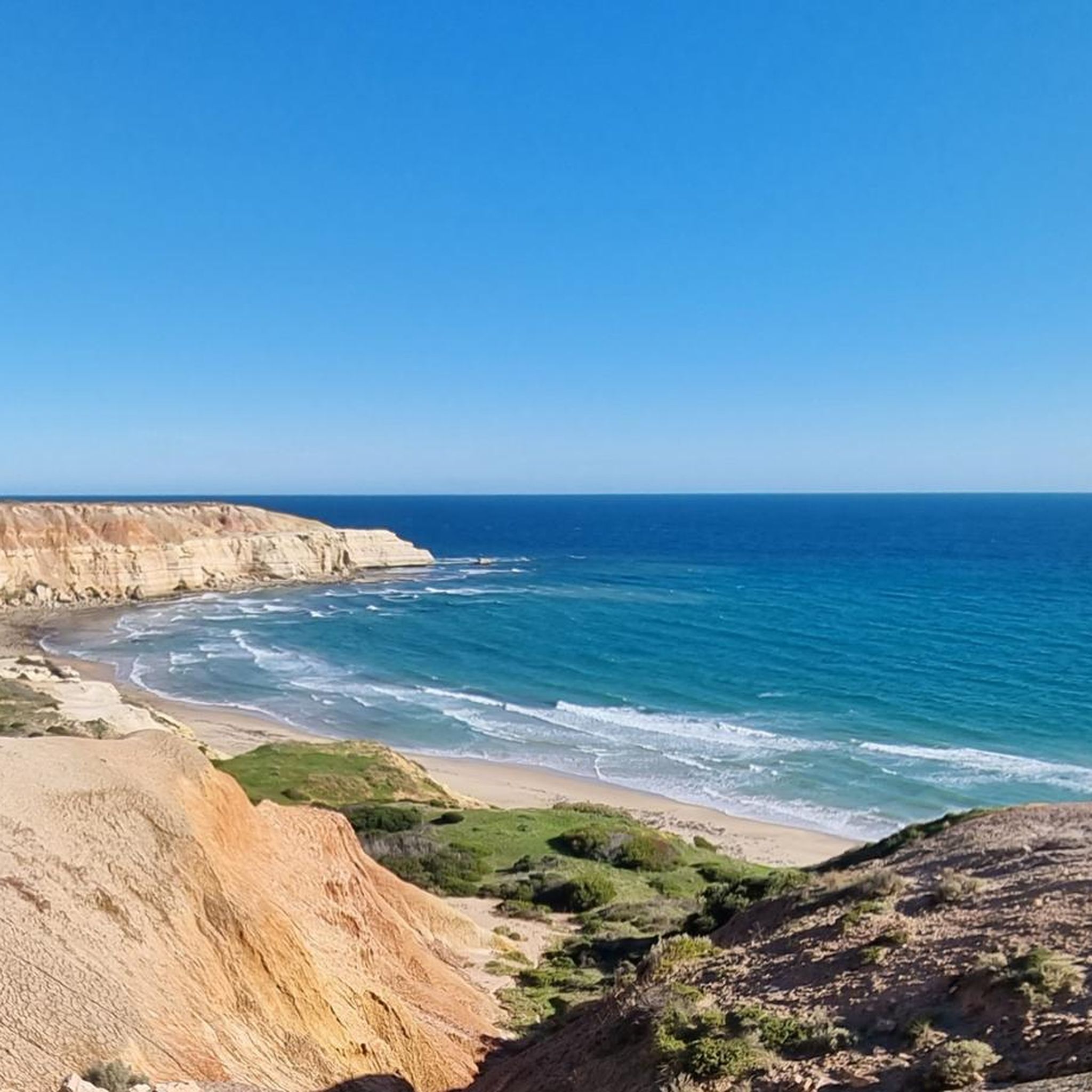
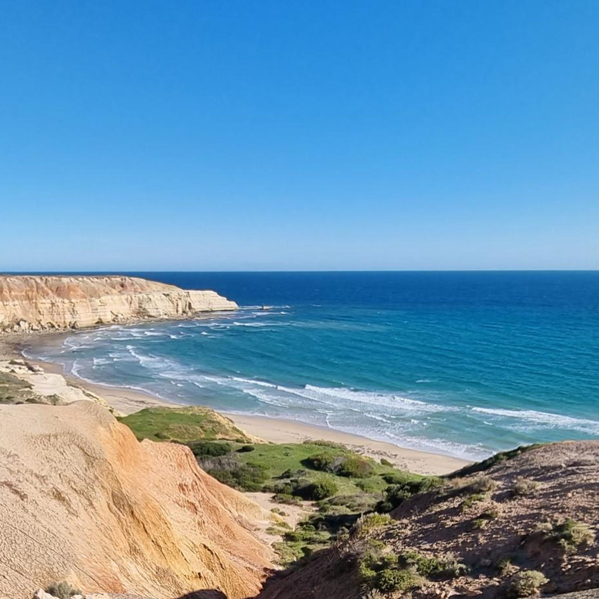
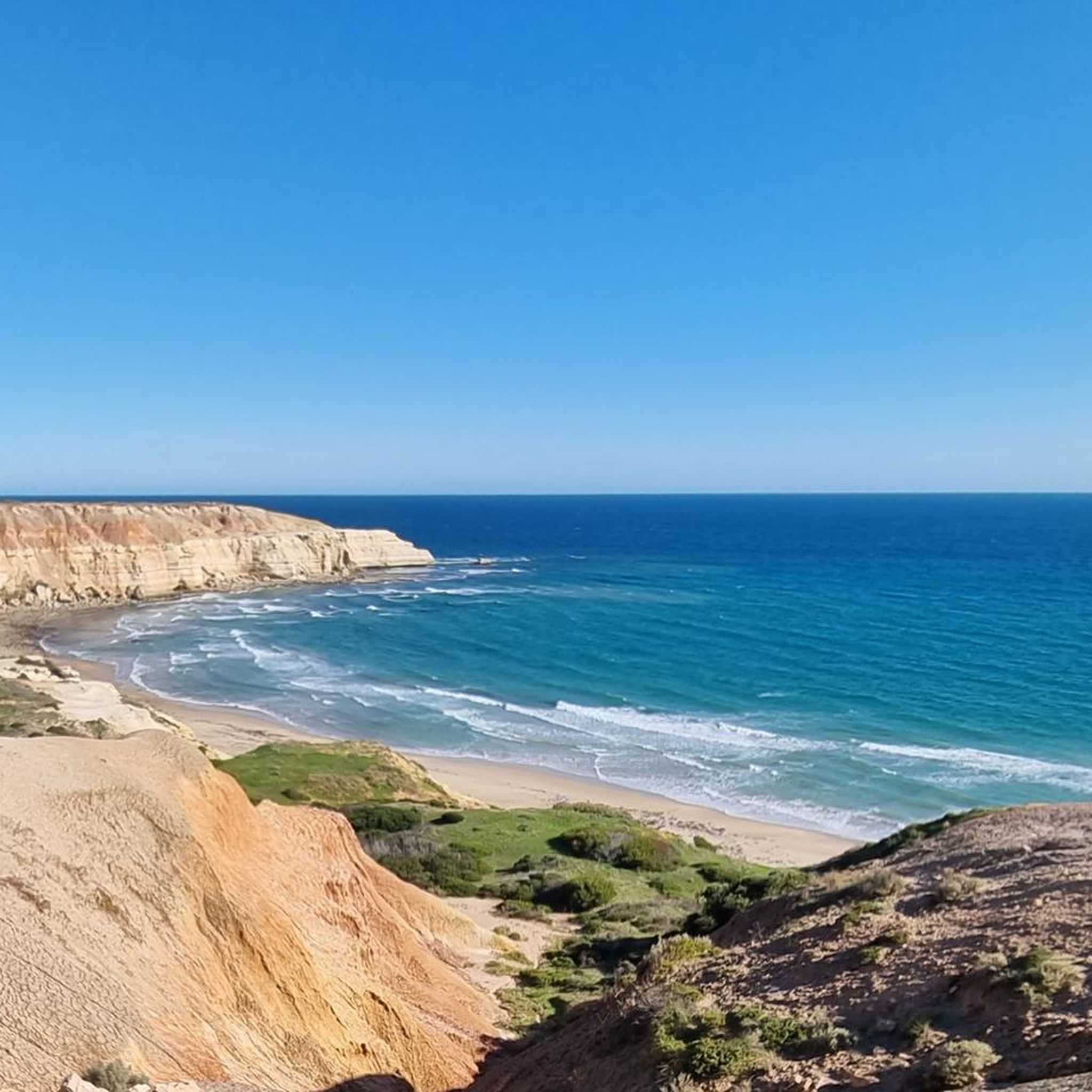
Hiking in Mclaren Vale District offers diverse landscapes, from rolling vineyards to a rugged coastline and extensive river valleys. The region is characterized by dramatic burnt orange cliffs within Onkaparinga Gorge, 31 kilometers of coastline featuring limestone cliffs, and native bushland. This varied topography provides a range of hiking experiences across different terrains.
Best hiking trails in Mclaren Vale District
- The most popular hiking route is Punchbowl Waterhole loop from Onkaparinga River National Park, a 4.3 miles (7.0 km) trail that takes 2 hours 4 minutes to complete. This moderate route explores the dramatic Onkaparinga Gorge.
- Another top favourite among local hikers is Sundew Lookout loop from Onkaparinga Hills, an easy 2.5 miles (4.0 km) path. This trail offers views over the Onkaparinga Hills and surrounding bushland.
- Local hikers also love the Staircase to Aldinga Beach loop from Port Willunga, a 3.2 miles (5.2 km) trail leading through coastal paths, often completed in about 1 hour 20 minutes.
- Hiking in Mclaren Vale District is defined by coastal paths, rolling vineyards, and river valleys. The network offers options for different ability levels, from easy strolls to more challenging hikes.
- The routes in Mclaren Vale District are highly rated by the komoot community with an average score of 4.6 stars from more than 200 reviews. More than 3000 hikers have used komoot to explore Mclaren Vale District's varied terrain.
Last updated: October 23, 2026
4.7
(3)
43
hikers
6.06km
01:41
110m
110m
Easy hike. Great for any fitness level. Easily-accessible paths. Suitable for all skill levels.
4.0
(1)
17
hikers
12.5km
03:34
290m
290m
Moderate hike. Good fitness required. Easily-accessible paths. Suitable for all skill levels.

4.99km
01:31
160m
160m
Easy hike. Great for any fitness level. Easily-accessible paths. Suitable for all skill levels.
1.36km
00:22
20m
20m
Easy hike. Great for any fitness level. Easily-accessible paths. Suitable for all skill levels.
5.0
(1)
20
hikers
4.04km
01:10
110m
110m
Easy hike. Great for any fitness level. Easily-accessible paths. Suitable for all skill levels.
Get access to more routes and recommendations from other explorers.
Already have an account?
Our route recommendations are based on thousands of hikes, rides, and runs completed by other people on komoot.
Start today with a free account
Your next adventure awaits.
Tips from the Community

This lookout is a great spot to pause and the in the views of the river gorge and stretching out over McLaren Vale. There is a picnic area here as well, so you can pause for a snack while you enjoy the view.
0
0
This link trail is a windy, dirt singletrack that looks over the Onkaparinga Gorge. Eventually, the trail leads down to the Punchbowl Lookout over the Okaparinga River. It also connects to a couple other trails, allowing you to choose from several routes around the park.
0
0

Old Government House is a heritage stone residence built in 1860 as the official summer home of South Australia’s early governors. Nestled within Belair National Park, it’s a beautifully preserved house that offers a peek into colonial life, with restored period furnishings, well-maintained gardens, and interpretive displays that explain the property’s history. It’s one of the park’s most significant historic landmarks and is typically open to visitors on holidays and the first and third Sundays of most months. You can also visit the park’s website to schedule a guided tour.
0
0
Queen’s Jubilee Drive is a wide, gravel road that winds through the heart of Belair National Park and provides access to several of the park’s walking tracks and picnic areas. Lined with tall eucalypts and surrounded by open woodland, it’s a beautiful route to spot an abundance of kangaroos, koalas, emus, and birdlife along the way that call this park home.
0
0
Belair National Park is South Australia’s oldest national park and covers more than 800 hectares of native bushland in the Adelaide Hills. There is a network of walking tracks that wind through open woodland, grassy valleys, and historic sites, and the area is home to plenty of wildlife, including kangaroos, koalas, emus, and abundant birdlife. Just 20 minutes from Adelaide, it’s a popular destination for bushwalking, picnicking, and enjoying nature close to the city.
0
0

This lookout is easily accessible from the nearby parking area and offers visitors a look over one of South Australia's largest reservoirs. Constructed between 1932-38 the dam is 58 metres tall and 232 metres long.
0
0
Onkaparinga River National Park protects a rugged section of the Onkaparinga Gorge about 30–35 kilometres south of Adelaide, where steep ridgelines, a narrow river valley, and permanent rock pools create one of the region’s most dramatic landscapes. The park includes a network of walking trails that lead to clifftop lookouts and down into the gorge, with abundant wildlife, including kangaroos, koalas, birdlife, and echidnas. The park also reflects a layer of history, with heritage-listed huts and 1880s ruins scattered among areas once used for farming.
1
0

Frequently Asked Questions
How many hiking trails are available in McLaren Vale District?
McLaren Vale District offers a wide variety of hiking opportunities, with over 100 routes available on komoot. These range from easy strolls to more challenging treks, ensuring there's something for every hiker.
What types of landscapes can I expect to see while hiking in McLaren Vale District?
The region boasts incredibly diverse landscapes. You'll find trails winding through picturesque rolling vineyards, along 31 kilometers of stunning coastline with limestone cliffs and beaches, and into rugged natural parks like Onkaparinga Gorge, featuring dramatic burnt orange cliffs and a meandering river. Native bushland and tranquil river valleys also characterize the area.
Are there any easy, family-friendly walks in McLaren Vale District?
Yes, McLaren Vale District has many easy trails suitable for families. For example, the Sundew Lookout loop from Onkaparinga Hills is an easy 4 km path offering views over the hills. Another gentle option is the Hiking loop from Onkaparinga Hills, which is just under 3 km.
Can I find circular walks in the McLaren Vale District?
Absolutely. Many trails in the McLaren Vale District are designed as loops, allowing you to start and finish at the same point. A popular moderate circular route is the Punchbowl Waterhole loop from Onkaparinga River National Park, which explores the dramatic Onkaparinga Gorge. For a coastal loop, consider the Staircase to Aldinga Beach loop from Port Willunga.
What are some notable natural features or landmarks to look out for on the trails?
Hikers can discover several interesting features. The Punchbowl Waterhole in Onkaparinga River National Park is a significant natural attraction. Along the coast, you might encounter limestone cliffs, caves, and even a shipwreck at low tide near Port Willunga. The region is also famous for its extensive vineyards, which many trails traverse or offer views of.
Are there any trails that combine hiking with vineyard views or cellar door visits?
Yes, the McLaren Vale District is renowned for its vineyards, and several trails offer this unique combination. The Coast to Vines Trail, particularly the Shiraz Trail section, winds through vineyards, providing opportunities to stop at numerous cellar doors. While we don't have a specific komoot route for this, you can plan your own adventure along these well-known paths.
What do other hikers enjoy most about hiking in McLaren Vale District?
The area is highly rated by the komoot community, with an average score of 4.6 stars from over 200 reviews. Reviewers often praise the stunning diversity of landscapes, from the dramatic gorge views to the serene coastal paths and picturesque vineyards. The well-maintained trails and opportunities for wildlife spotting are also frequently highlighted.
Are there any challenging or difficult hikes in the region?
While many trails are easy to moderate, there are options for more experienced hikers seeking a challenge. The Echo Tunnel loop from Upper Sturt is classified as difficult, covering over 26 km with significant elevation changes, offering a more strenuous adventure.
What is the best time of year to go hiking in McLaren Vale District?
The McLaren Vale District is enjoyable year-round, but spring (September to November) and autumn (March to May) are particularly pleasant. During these seasons, the weather is milder, making for comfortable hiking conditions, and the landscapes are vibrant with spring blooms or autumn colors in the vineyards.
Are there options for public transport to access hiking trails in McLaren Vale District?
Yes, public transport can be used to reach some areas. Adelaide Metro operates bus services that connect to towns within the McLaren Vale District, such as McLaren Vale and Willunga, which are starting points for several trails, including sections of the Coast to Vines Trail. It's advisable to check specific bus routes and timetables for your chosen trailhead.
Where can I find parking for hiking trails in McLaren Vale District?
Most popular trailheads and national parks in the McLaren Vale District, such as Onkaparinga River National Park, offer designated parking areas. For coastal walks like those near Port Willunga or Aldinga Beach, there are often public car parks available. When planning your route on komoot, you can often see parking information associated with the starting points.
Most popular routes in Mclaren Vale District
Most popular attractions in Mclaren Vale District

Get inspired with the komoot mobile app


Explore more
Browse the best Hikes in other regions.
