The best cycling routes in Craigburn Farm Open Space Reserve
4.5
(57)
1,480
riders
70
rides
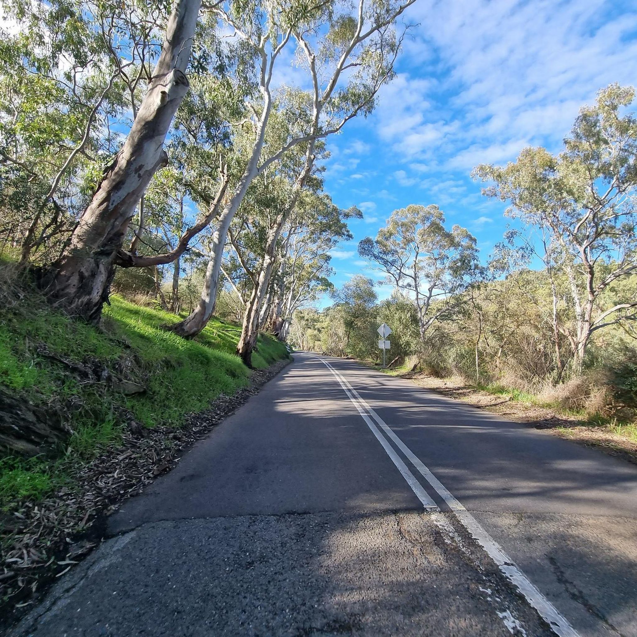
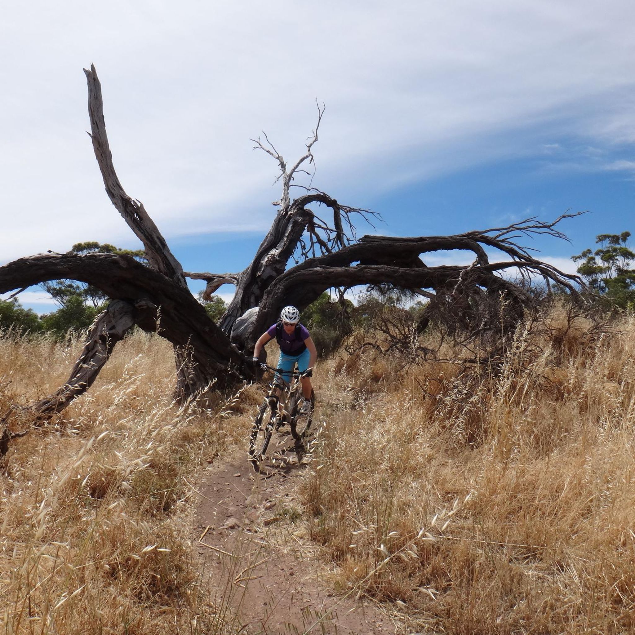
Touring cycling in Craigburn Farm Open Space Reserve offers diverse landscapes, including open paddocks, native vegetation, grasslands, and open woodlands. The undulating terrain provides varied routes for cyclists, with sweeping views of the surrounding hills and valleys. The Sturt River flows through the park, attracting native animals, and ancient rock formations like Sturt Tillite add geological significance. This blend of natural features creates engaging touring cycling routes.
Best touring cycling routes in Craigburn Farm Open Space Reserve
- The most popular…
Last updated: July 2, 2026
15
riders
76.1km
04:53
900m
900m
Hard bike ride. Very good fitness required. Mostly paved surfaces. Suitable for all skill levels.
3
riders
30.3km
02:04
490m
490m
Hard bike ride. Very good fitness required. Mostly paved surfaces. Suitable for all skill levels.

Sign up for free
5.0
(1)
8
riders
37.0km
02:11
110m
110m
Moderate bike ride. Good fitness required. Mostly paved surfaces. Suitable for all skill levels.
8
riders
30.7km
01:52
80m
80m
Easy bike ride. Great for any fitness level. Mostly paved surfaces. Suitable for all skill levels.
3
riders
41.9km
03:03
820m
820m
Hard bike ride. Very good fitness required. Mostly paved surfaces. Suitable for all skill levels.
Get access to more routes and recommendations from other explorers.
Sign up for free
Already have an account?
Our route recommendations are based on thousands of hikes, rides, and runs completed by other people on komoot.
Start today with a free account
Your next adventure awaits.
Login or Signup


Tips from the Community

River Torrens Linear Park is a long green corridor that follows the River Torrens (Karrawirra Pari) through Adelaide, linking parks, wetlands, picnic areas, and shared-use trails from the Adelaide Hills to the coast at Henley Beach. Established to improve river health and public access, the park combines open lawns, native vegetation, wetlands, playgrounds, and shaded riverbanks that support birdlife and recreation throughout the city. Its mostly flat, continuous pathway makes it popular for walking and cycling, with multiple access points connecting the surrounding suburbs and reserves.
0
0

Located just 22 kilometres from Adelaide's CBD, this national park has rich plant and animal life and wonderful geologic features like Mount Lofty and Waterfall Gully. The park sits on shared territory of the Kaurna and Peramangk people, who have called this area home for millennia. The park also holds the Cleland Wildlife Park, which allows visitors to get up close to a variety of native wildlife.
0
0
Mount Lofty is the highest point in the Mount Lofty Ranges and offers sweeping panoramic views across the city of Adelaide and the coastline of Gulf St Vincent. The summit features a well-known lookout, visitor facilities, and access to walking trails that pass through native bushland in the surrounding hills. Its elevated vantage point makes it one of the most popular viewpoints in the Adelaide Hills and a highlight of many nearby hiking routes.
0
0

Victoria Park, also known by its Kaurna name Pakapakanthi (Park 16), forms part of Adelaide’s Park Lands just east of the city centre. The park combines open grasslands, restored wetlands and areas of woodland, with walking and cycling paths running throughout. It offers wide views toward the Adelaide skyline while retaining pockets of natural habitat.
0
0
Pakapakanthi Interpretive Trail guides you through grassland, wetland and woodland ecosystems in the southern half of Victoria Park (Park 16). Along the way, interpretive markers share insights into environmental processes, Kaurna cultural heritage and the landscape’s history before and after European colonisation. As you follow the trail, you’ll also catch open views toward the Adelaide city skyline, creating a contrast between natural systems and the urban edge.
0
0

It’s best to go there after some rain. Although artificially irrigated, the ponds tend to dry out in summer.
1
0
This segment is now open again after being improved. There are no detours from the city to West Beach anymore.
1
0
Frequently Asked Questions
How many touring cycling routes are available in Craigburn Farm Open Space Reserve?
Craigburn Farm Open Space Reserve offers a wide selection of touring cycling routes, with over 70 options to explore. These routes cater to various skill levels, including easy, moderate, and challenging rides.
What is the general difficulty level of touring cycling routes in Craigburn Farm Open Space Reserve?
The reserve provides a good mix of difficulties. You'll find approximately 32 easy routes, 23 moderate routes, and 21 more challenging routes, ensuring there's something for every touring cyclist, from beginners to experienced riders.
What kind of landscapes and natural features can I expect to see while cycling?
While cycling in Craigburn Farm Open Space Reserve, you'll experience diverse landscapes including open paddocks, native vegetation, grasslands, and open woodlands. The undulating terrain offers sweeping views of the surrounding hills and valleys. You can also encounter the Sturt River, which flows through the park, and observe ancient rock formations like Sturt Tillite, believed to be 800 million years old.
Are there family-friendly touring cycling routes in Craigburn Farm Open Space Reserve?
Yes, there are several family-friendly options. Many trails are designed as shared-use paths, with easy, mostly paved surfaces suitable for beginners and families. An example is the View of Happy Valley Reservoir loop from Happy Valley Reservoir, which is an easy ride offering scenic views.
Can I bring my dog on the touring cycling routes?
Craigburn Farm Open Space Reserve is generally dog-friendly, with many trails allowing dogs on leash. The 'Walk the Dog Trail' is specifically mentioned as an easy trail with great views, indicating the reserve's welcoming nature for pets. Always ensure your dog is under control and on a leash for the safety of wildlife and other park users.
Are there any circular touring cycling routes?
Yes, many of the touring cycling routes in Craigburn Farm Open Space Reserve are designed as loops, allowing you to start and finish at the same point. For instance, the Sturt River Trail loop from Eden Hills offers a scenic circular ride through the valley.
What do other touring cyclists say about the routes in Craigburn Farm Open Space Reserve?
The routes in Craigburn Farm Open Space Reserve are highly regarded by the komoot community, with an average rating of 4.6 stars from over 50 reviews. Cyclists often praise the varied terrain, the natural beauty, and the well-maintained trails that cater to different abilities.
Is there parking available for cyclists at Craigburn Farm Open Space Reserve?
While specific parking locations are not detailed, the reserve is known for its accessibility, being only about 15 minutes from the Adelaide CBD. It's advisable to check local signage upon arrival for designated parking areas, especially near popular trailheads.
What is the best time of year to go touring cycling in Craigburn Farm Open Space Reserve?
The reserve can be enjoyed year-round, but spring and autumn generally offer the most pleasant cycling conditions with milder temperatures. These seasons are ideal for experiencing the diverse vegetation and wildlife without the extreme heat of summer or the cooler, wetter days of winter.
Are there any long-distance touring cycling routes for experienced riders?
For experienced touring cyclists seeking a challenge, routes like the Coast to Vines Rail Trail – Forest Cycle Path loop from Coromandel provide a significant distance of over 76 km and considerable elevation changes, requiring good fitness. This route follows a rail trail through forest sections, offering an extensive adventure.
Can I access Craigburn Farm Open Space Reserve using public transport?
The reserve's proximity to Adelaide (approximately 15 minutes from the CBD) suggests that public transport options might be available to nearby areas. For detailed public transport information, it's best to consult local Adelaide public transport schedules and routes that serve the Eden Hills or Happy Valley areas, which are common starting points for routes within the reserve.
Are there any cafes or pubs near the cycling routes?
While specific cafes or pubs directly within the reserve are not mentioned, its close proximity to the Adelaide CBD and surrounding suburbs like Coromandel and Eden Hills means there are likely various dining and refreshment options available a short distance from the park entrances. It's recommended to check local listings for establishments in these nearby towns.
Most popular routes in Craigburn Farm Open Space Reserve

Get inspired with the komoot mobile app


Explore more
Browse the best Cycling routes in other regions.
