The best running trails in Lower Beechmont Conservation Area
4.5
(5)
150
runners
12
runs
Jogging in Lower Beechmont Conservation Area offers diverse trails within a 775-hectare expanse, forming a crucial habitat corridor. The region is situated on the northern extremity of the Beechmont Plateau on the McPherson Range, providing a forested green backdrop. Runners can explore subtropical rainforests, particularly along Clagiraba Creek, and navigate trails that often feature mostly paved surfaces. The area's varied terrain includes both moderate and more challenging running routes.
Best jogging routes in Lower Beechmont Conservation Area
- The most popular jogging route is Running loop from Nerang, a 5.1 miles (8.2 km) trail that takes about 1 hour 4 minutes to complete. This route offers a moderate run on mostly paved surfaces.
- Another top favourite among local runners is Nerang National Park loop from Nerang, a difficult 11.3 miles (18.2 km) path. This route leads through a rugged, natural environment with significant elevation gain.
- Local runners also love the Running loop from Highland Park, a 4.3 miles (7.0 km) trail leading through forested areas, often completed in about 43 minutes.
- Jogging in Lower Beechmont Conservation Area is defined by subtropical rainforests, the McPherson Range, and diverse multi-use trails. The network offers options for various ability levels, from moderate runs to more challenging routes.
- The routes in Lower Beechmont Conservation Area are highly rated by the komoot community with an average score of 4.3 stars from over 3 reviews. More than 230 runners have used komoot to explore Lower Beechmont Conservation Area's varied terrain.
Last updated: July 9, 2026
3
runners
6.61km
00:41
50m
50m
Moderate run. Good fitness required. Mostly paved surfaces. Suitable for all skill levels.
5.0
(1)
32
runners
18.0km
02:18
500m
500m
Hard run. Very good fitness required. Mostly paved surfaces. Suitable for all skill levels.

Sign up for free
5.0
(2)
26
runners
Hard run. Very good fitness required. Mostly paved surfaces. Suitable for all skill levels.
13
runners
4.06km
00:33
120m
120m
Moderate run. Good fitness required. Mostly paved surfaces. Suitable for all skill levels.
3
runners
6.94km
00:43
40m
40m
Moderate run. Good fitness required. Mostly paved surfaces. Suitable for all skill levels.
Get access to more routes and recommendations from other explorers.
Sign up for free
Already have an account?
Our route recommendations are based on thousands of hikes, rides, and runs completed by other people on komoot.
Start today with a free account
Your next adventure awaits.
Login or Signup
Popular around Lower Beechmont Conservation Area
Tips from the Community

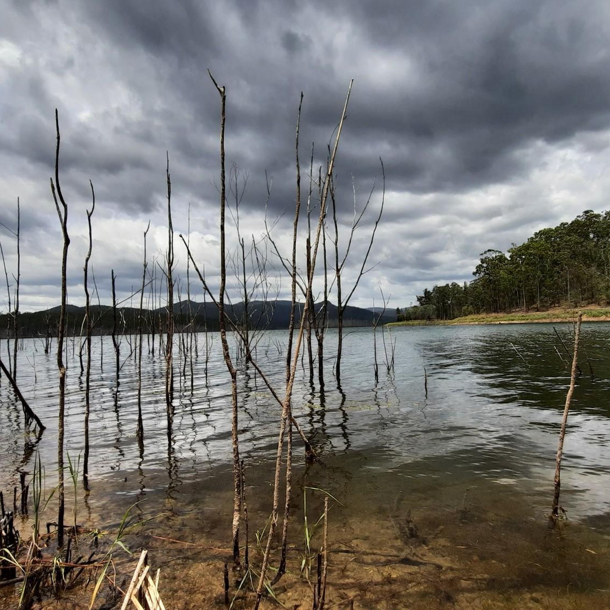
Centre Road Firetrail is a wide dirt and gravel route linking several sections of the park’s trail network. The firetrail moves through open eucalypt forest and rolling terrain, with a mix of gradual climbs and flatter stretches along the ridge lines. It’s shared by walkers, trail runners, mountain bikers, and horse riders, and is generally easy to follow due to its width and clear layout.
0
0
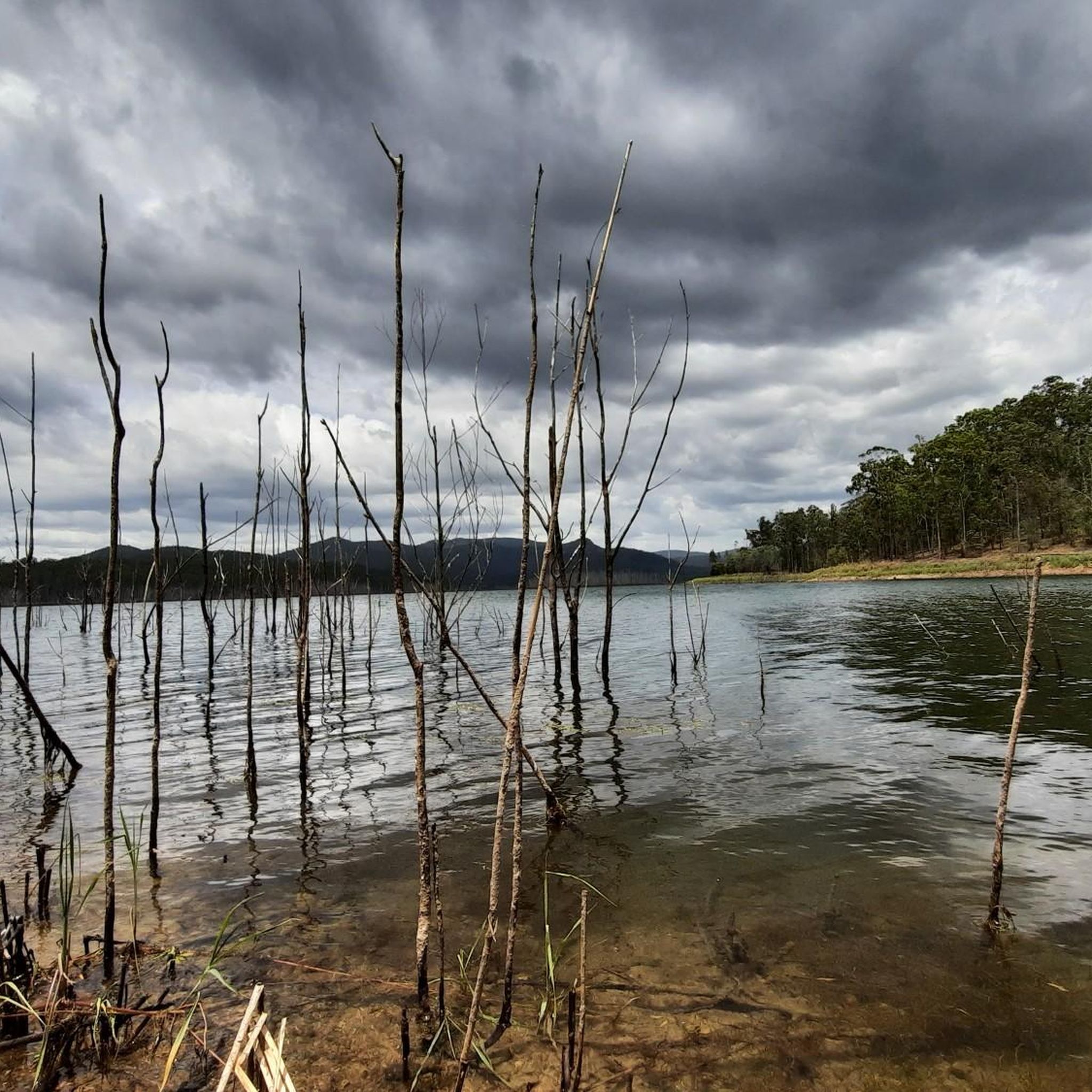
Located in the Gold Coast hinterland, Nerang National Park is made up of open eucalypt forest, dry bushland, and a large network of multi-use trails. The park is widely used for walking, trail running, and mountain biking, with routes ranging from wide fire trails to narrower singletrack. Compared to the nearby rainforest parks, the landscape here is drier and more exposed, with rolling terrain rather than steep climbs.
0
0
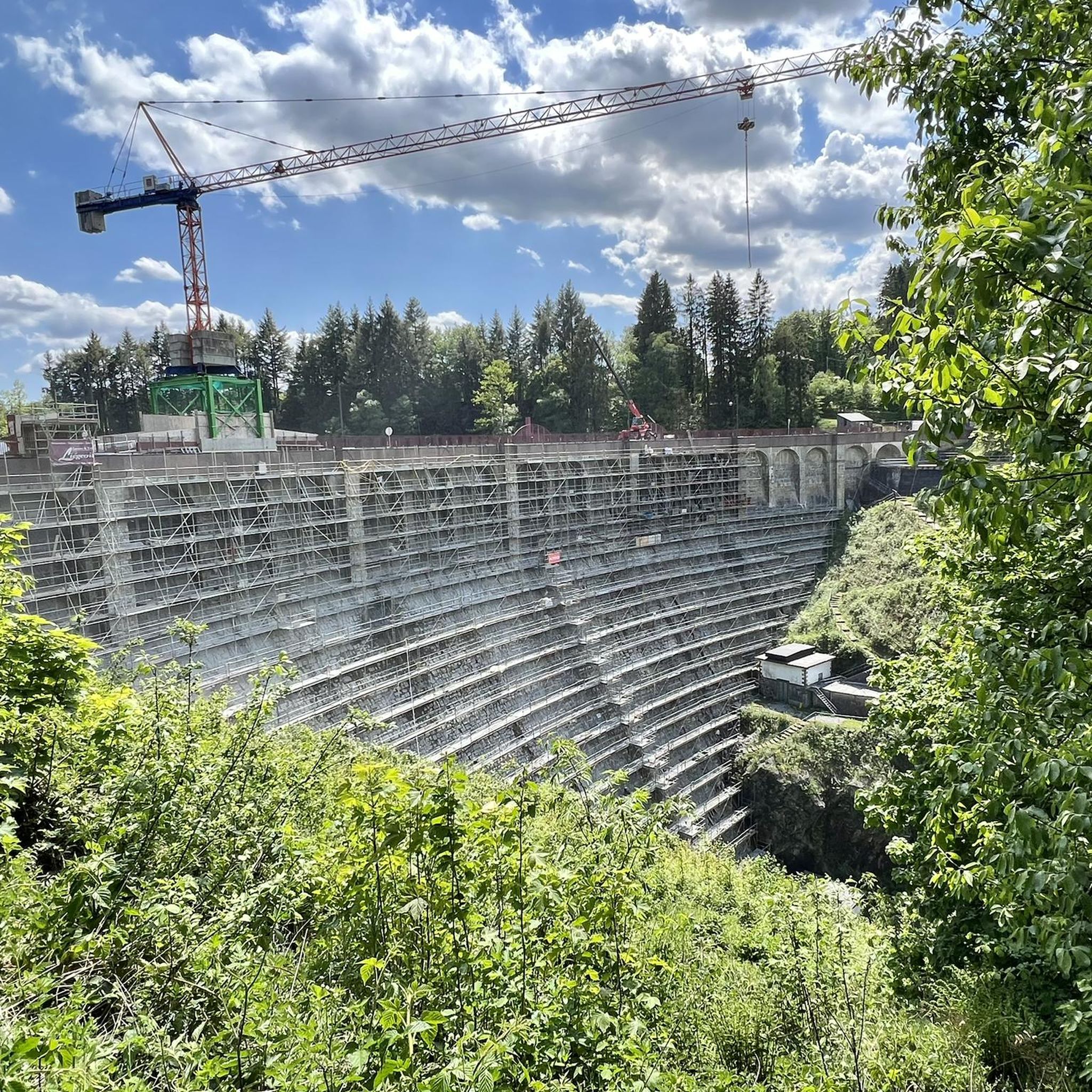
Located within Nerang National Park, this trail follows a network of forest tracks through open eucalypt bushland. The route is mostly wide and well-defined, with a mix of dirt and gravel surfaces underfoot. It’s a shared-use area, so walkers may encounter mountain bikers along parts of the track.
0
0

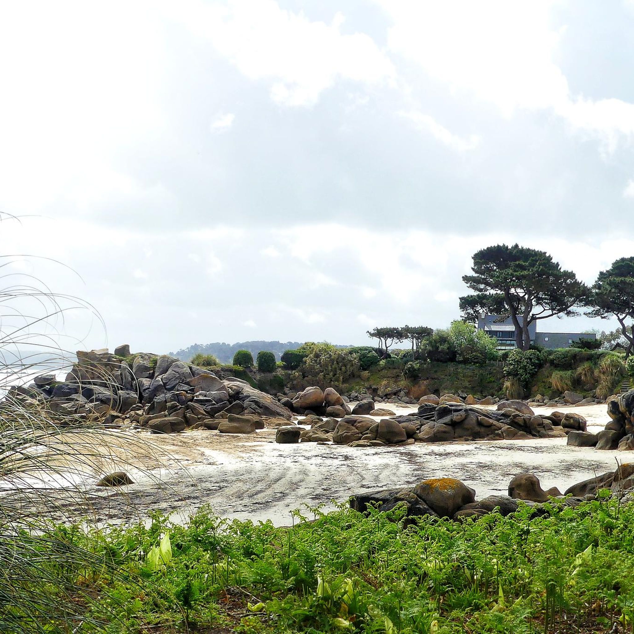
North Street Break is a shared trail along the park boundary near the North Street access. It links to surrounding loops and connection roads, helping create longer continuous routes through the forest. Like the other breaks, it is primarily a management trail used by walkers, cyclists, and horse riders rather than a purpose-built technical track.
0
0
Nerang National Park protects a large area of open eucalypt forest in Queensland’s Gold Coast hinterland, providing an important refuge for native wildlife close to urban areas. The park is best known for its extensive network of multi-use trails, popular for walking, horse riding and internationally recognised mountain-bike routes developed for the 2018 Commonwealth Games. There are several picnic areas and trailheads for easy access to the peaceful bushland that reflects the park’s distinctive dry forest environment.
0
0
Frequently Asked Questions
What types of running trails can I expect in Lower Beechmont Conservation Area?
The Lower Beechmont Conservation Area offers a diverse range of running trails, from moderate paths to more challenging routes with significant elevation gain. Many trails feature mostly paved surfaces, while others lead through rugged, natural environments and subtropical rainforests, particularly along Clagiraba Creek.
Are there any easy or beginner-friendly jogging routes in the area?
While the guide primarily lists moderate to difficult routes, the area's diverse network means there are paths suitable for various ability levels. For a moderate run on mostly paved surfaces, consider the Running loop from Nerang, which is 8.2 km long. Another moderate option is the Running loop from Highland Park, a 7.0 km trail through forested areas.
What are some scenic viewpoints or natural landmarks to look out for while running?
Runners can enjoy several natural features and scenic spots. Freemans Lookout offers stunning eastern views of the Gold Coast skyline. The area also features a significant frog pond near the trailhead, home to at least 10 frog species. You'll also encounter beautiful subtropical rainforests, especially along the Clagiraba Creek trail.
Are there any circular running routes available in Lower Beechmont Conservation Area?
Yes, several routes are designed as loops, perfect for a continuous run. Popular options include the Running loop from Nerang (8.2 km, moderate) and the more challenging Nerang National Park loop from Nerang (18.2 km, difficult). For a shorter loop, the Running loop from Highland Park (7.0 km, moderate) is a great choice.
What kind of wildlife might I encounter on the trails?
The Lower Beechmont Conservation Area is rich in native wildlife. You might spot wallabies, bandicoots, possums, and goannas. Birdwatchers can look for numerous species, including the rare glossy black cockatoo. Wild koalas are also occasionally seen foraging in the eucalyptus trees.
Is Lower Beechmont Conservation Area suitable for family-friendly runs or walks?
The area's diverse trails offer options for various fitness levels. While some routes are challenging, others with mostly paved surfaces and moderate distances could be suitable for families looking for an active outing. Always check the specific route details for distance and elevation to ensure it matches your family's capabilities.
What is the best time of year to go jogging in Lower Beechmont Conservation Area?
The region generally offers pleasant conditions for outdoor activities. However, it's always advisable to check local weather forecasts before your visit. The subtropical climate means lush greenery year-round, but avoiding the hottest parts of summer days and being prepared for rain is recommended.
Are there parking facilities available for runners at Lower Beechmont Conservation Area?
While specific parking locations for each trail are not detailed here, conservation areas typically provide designated parking areas near trailheads. It's recommended to check local signage upon arrival or consult the Gold Coast City Council website for detailed visitor information regarding parking at the Lower Beechmont Conservation Area.
Can I access the Lower Beechmont Conservation Area trails using public transport?
Public transport options directly to the trailheads within the Lower Beechmont Conservation Area might be limited due to its natural, hinterland location. It's best to plan your journey in advance and check TransLink's website for bus routes that may service nearby towns or access points, though a car is often the most convenient way to reach the area.
What do other runners say about their experience jogging in Lower Beechmont Conservation Area?
The running routes in Lower Beechmont Conservation Area are highly rated by the komoot community, with an average score of 4.3 stars from over 3 reviews. Runners often praise the varied terrain, the opportunity to explore subtropical rainforests, and the overall natural beauty of the McPherson Range backdrop.
Are dogs allowed on the jogging routes in Lower Beechmont Conservation Area?
Policies regarding dogs in conservation areas can vary. It is crucial to check the official regulations for Lower Beechmont Conservation Area before bringing your dog. You can often find this information on the Gold Coast City Council's official website: goldcoast.qld.gov.au.
How many jogging routes are available in Lower Beechmont Conservation Area?
There are over 10 dedicated jogging routes available for exploration in the Lower Beechmont Conservation Area, offering a good variety for runners of different skill levels.
Most popular routes in Lower Beechmont Conservation Area

Get inspired with the komoot mobile app


Explore more
Browse the best Running Trails & Routes in other regions.
