The 10 Most Amazing Peaks around Münchwald
Best mountain peaks around Münchwald are found within a municipality nestled in the southern Hunsrück region of Rhineland-Palatinate, Germany. This area is characterized by its picturesque, hilly, and forested landscape, situated on a plateau approximately 400 meters above sea level. While lacking dramatic peaks in the conventional sense, the region boasts significant elevations, with the highest point within Münchwald reaching 552 meters. It is directly adjacent to the Soonwald, a forested low mountain range that reaches up to 657.5 meters…
Last updated: October 9, 2026
Ellerspring
Highlight • Summit
Translated by Google •
Tip by

Simmerkopf — Highest Point in the Rhein-Hunsrück District
Highlight • Summit
Translated by Google •
Tip by

Sign up now to discover places like this
Get recommendations on the best single tracks, peaks, & plenty of other exciting outdoor places.
Schanzerkopf
Highlight • Summit
Translated by Google •
Tip by

Hochsteinchen lookout tower
Highlight • Viewpoint
Translated by Google •
Tip by

Simmerkopf Summit Cross
Highlight • Summit
No prospect, but a decent picnic set with a garbage can.
Translated by Google •
Tip by

Sign up for free to discover even more peaks around Münchwald.
Already have an account?
Start today with a free account
Your next adventure awaits.
Tips from the Community


Right next to the cross there is a table with a bench, a great place for a rest.
1
0

It's only 600 meters but it can be cold in winter 🥶
0
0

This impressive tower can be seen from far away
1
0
Frequently Asked Questions
What are the most notable elevated points and viewpoints around Münchwald?
While Münchwald is known for its hilly and forested landscape rather than dramatic peaks, several elevated points offer scenic views and unique experiences. These include the Hochsteinchen lookout tower, which provides expansive vistas over the Hunsrück, Middle Rhine Valley, and even into the Taunus from its steel observation tower. Another popular spot is Weissenfels Viewpoint, offering peaceful views towards Bad Kreuznach and Donnersberg. The Simmerkopf — Highest Point in the Rhein-Hunsrück District, marked by a cross and resting bench, provides a quiet forest setting.
What is the highest point in the Soonwald mountain range near Münchwald?
The highest point in the Soonwald mountain range, which borders Münchwald, is the Ellerspring, reaching an elevation of 657 meters. While its summit is densely forested and features a fenced telecommunications tower, the area is known for its trekking camp, offering a unique overnight experience in nature.
Are there family-friendly hiking options around Münchwald's elevated areas?
Yes, the region offers various trails suitable for families. For instance, the Weissenfels Viewpoint is categorized as family-friendly, providing a great spot to take a breather and enjoy the wonderful view. The overall hilly and forested landscape of Münchwald and the Soonwald-Nahe Nature Park features well-signposted paths, including options for easy walks.
What kind of natural features can I expect to see when exploring the peaks around Münchwald?
The primary natural features are lush, rolling hills and dense forests, characteristic of the Hunsrück and Soonwald regions. You'll encounter extensive networks of hiking trails winding through diverse flora and fauna. Elevated points like the Hochsteinchen lookout tower offer panoramic views of this sprawling natural beauty.
What outdoor activities can I do near the mountain peaks around Münchwald?
Beyond hiking to viewpoints and summits, the area around Münchwald is excellent for various outdoor activities. You can explore numerous MTB trails, enjoy road cycling routes, or embark on touring bicycle adventures. The extensive network of trails caters to different fitness levels, allowing you to immerse yourself in the tranquil, forested environment.
What makes the Simmerkopf significant in the Rhein-Hunsrück district?
The Simmerkopf holds the distinction of being the highest elevation in the Rhein-Hunsrück district, standing at 653 meters above sea level. While its summit is within a spruce forest, it features a cross with explanations and a resting bench, providing a quiet spot for hikers.
What is the general character of the landscape around Münchwald?
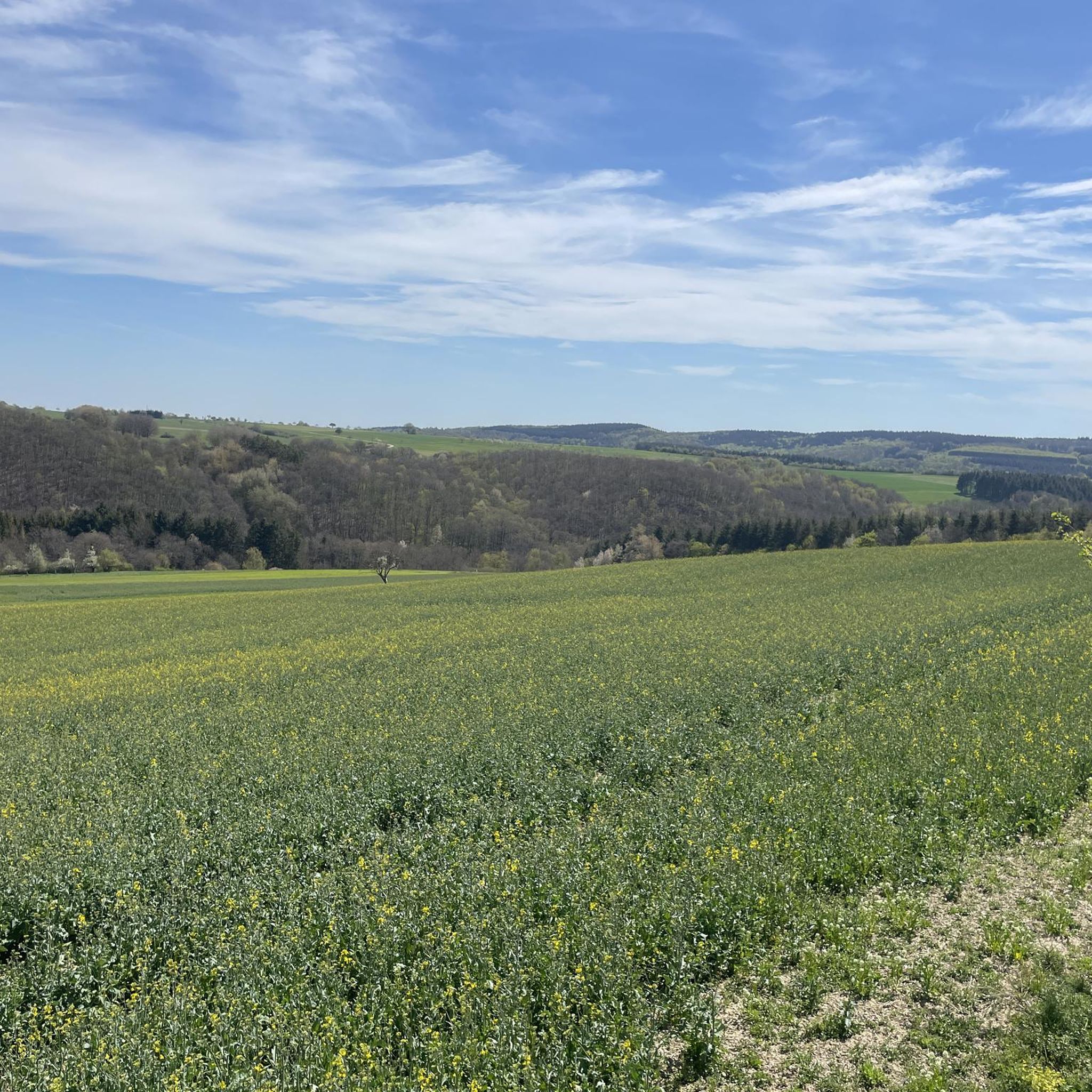
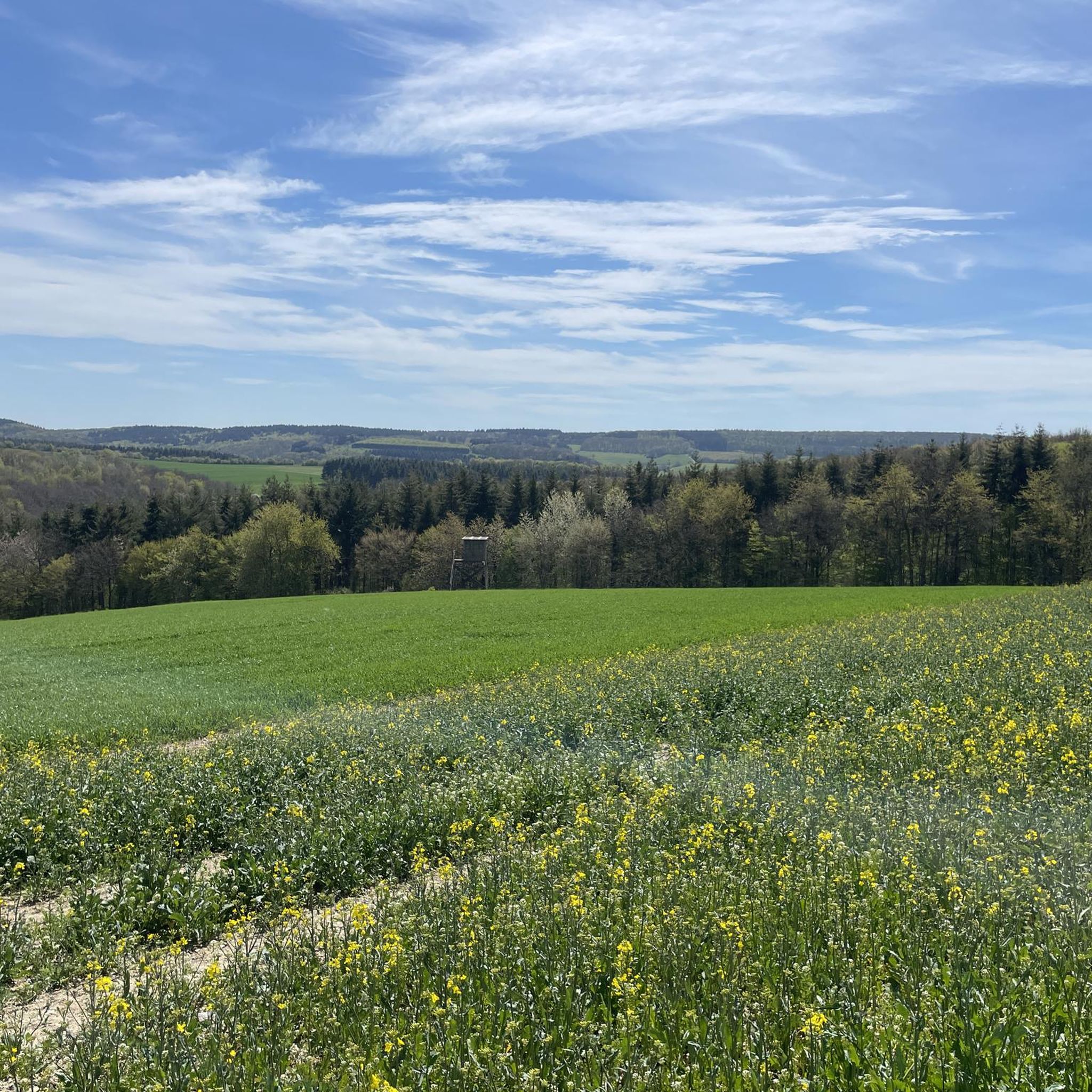
The landscape around Münchwald is primarily characterized by picturesque, hilly, and densely forested terrain. Situated on a plateau approximately 400 meters above sea level, it offers elevated natural beauty ideal for hiking and experiencing a serene countryside. It's part of the southern Hunsrück region and directly borders the forested low mountain range of the Soonwald.
What kind of views can I expect from the Hochsteinchen lookout tower?
From the uppermost platform of the Hochsteinchen lookout tower, you can enjoy expansive panoramic views. Your gaze will wander over the rolling hills of the Hunsrück, the scenic Middle Rhine Valley, and on clear days, even extend into the distant Taunus mountain range.
Are there any specific tips for visiting the Ellerspring area?
The Ellerspring is the highest mountain in the Soonwald. While the telecommunications tower at the summit is fenced, the area is notable for the trekking camp Ellerspring. If you wish to stay overnight, you must book in advance to receive the exact GPS coordinates for this hidden clearing. More information can be found on the Soonwaldsteig website.
What do visitors appreciate most about the elevated spots around Münchwald?
Visitors highly appreciate the tranquility and natural beauty of the region. Spots like the Weissenfels Viewpoint are praised for their peaceful atmosphere and wonderful views. The quiet, forested environment is perfect for relaxation and outdoor activities away from urban bustle, with many enjoying the extensive hiking opportunities and scenic vistas.
What is the highest elevation within Münchwald's municipal area itself?
Within Münchwald's municipal area, the highest point reaches an elevation of 552 meters. This contributes to the overall elevated and hilly character of the region, providing a natural setting for outdoor exploration.
Most popular routes around Münchwald
Most popular attractions around Münchwald

Get inspired with the komoot mobile app


Explore more
See even more amazing summits around Münchwald with these guides:
