The best road cycling routes in Southern Moreton Bay Islands National Park
4.2
(21)
819
riders
29
rides
Road cycling in Southern Moreton Bay Islands National Park offers routes through coastal and estuarine landscapes. The region features generally flat to gently undulating terrain, with some routes incorporating views of waterways and local reserves. Road cyclists can expect paths that traverse areas near Saltwater Creek and Oyster Cove, providing a mix of open stretches and natural scenery. The elevation gains are typically low, making many routes accessible for various fitness levels.
Best road cycling routes in Southern Moreton Bay…
Last updated: July 17, 2026
4.6
(5)
114
riders
41.3km
01:57
50m
50m
Easy road ride. Great for any fitness level. Mostly well-paved surfaces and easy to ride.
3.0
(1)
24
riders
37.1km
01:46
160m
160m
Easy road ride. Great for any fitness level. Mostly well-paved surfaces and easy to ride.

Sign up for free
22
riders
44.2km
02:03
80m
80m
Moderate road ride. Good fitness required. Mostly well-paved surfaces and easy to ride.
3.5
(2)
95
riders
46.6km
02:15
90m
90m
Moderate road ride. Good fitness required. Some segments of this route may be unpaved and difficult to ride.
5.0
(1)
18
riders
95.4km
04:20
360m
360m
Moderate road ride. Good fitness required. Some segments of this route may be unpaved and difficult to ride.
Get access to more routes and recommendations from other explorers.
Sign up for free
Already have an account?
Our route recommendations are based on thousands of hikes, rides, and runs completed by other people on komoot.
Start today with a free account
Your next adventure awaits.
Login or Signup
Popular around Southern Moreton Bay Islands National Park


Tips from the Community

Marine Parade foreshore path is a flat, shared path linking parks, small beaches, and open waterfront sections along this stretch of coast. The route stays close to the water, with consistent views across to South Stradbroke Island and the Gold Coast skyline.
0
0
Anzac Park sits along the Broadwater with open grass, large shade trees, and direct access to the shoreline. The park includes picnic areas, a playground, and a memorial space, with wide views across the water toward South Stradbroke Island.
0
0
Located along the Broadwater on the Gold Coast, Lands End is a quiet stretch of shoreline with open views across to South Stradbroke Island. The area looks out over calm water, with visible sandbanks and shifting tidal channels shaping the coastline. Compared to the more built-up sections nearby, it feels more open, with uninterrupted sightlines across the water and fewer structures along the shore.
0
0
Located on the northern Gold Coast, Paradise Point sits along the Broadwater with a mix of residential streets, waterfront parklands, and small local centres. The area is known for its calm, protected waters compared to the open surf beaches further south, making it a popular spot for swimming, fishing, and boating. A series of jetties and foreshore access points run along the coastline, with views across to South Stradbroke Island and the surrounding waterways.
0
0
This smaller, quieter beach sits along the Coomera River rather than facing South Stradbroke Island like most nearby foreshore swimming spots. The water here is typically calmer, with a more sheltered feel and fewer crowds. It sits beside Ann Jackson Park, a waterfront park with open grass, picnic areas, and direct access to the shoreline.
0
0

Damian Leeding Memorial Park is a large, multi-use lakeside park on the northern Gold Coast, centred around Regatta Waters Lake, and is a hub for recreation and water sports. There are open grassy areas, playgrounds, picnic shelters with barbecues, fitness equipment, and facilities for activities such as rowing, kayaking, and sailing. A nearly 4-kilometre shared-use path surrounds the lake, making it a popular spot for walking, cycling, and everyday exercise.
0
0

This long sandy beach is a great pick on a summer day for sunbathing, swimming, and surfing, and it has lifeguards on duty with a nearby park. It is a well-patrolled area due to dangerous riptides and rough, open-ocean waves. Keep in mind that swimmers should always stay between the red and yellow flags for their safety. The sand is white, soft, and clean, making walks along the shore enjoyable.
0
0
The Gold Coast Oceanway is a paved coastal path that runs parallel to the beach, linking suburbs along the shoreline. This section near Surfers Paradise follows the edge of the sand, offering uninterrupted ocean views with the skyline rising behind you. The wide, sealed path is shared by walkers, runners and cyclists, so keep left and stay aware of faster traffic. Shade is limited along exposed stretches, making early morning or late afternoon a more comfortable time to walk.
0
0
Frequently Asked Questions
How many road cycling routes are available in Southern Moreton Bay Islands National Park?
There are over 30 road cycling routes in the Southern Moreton Bay Islands National Park region, catering to various skill levels. You'll find a good mix of easy, moderate, and some more challenging options.
Are there easy road cycling routes suitable for beginners in Southern Moreton Bay Islands National Park?
Yes, the region is well-suited for beginners, with 18 easy routes available. A great option for a relaxed ride is the Morala loop from Hope Island, which is approximately 41 km long and features generally flat terrain.
What are the typical distances for road cycling routes in the Southern Moreton Bay Islands National Park?
Routes vary in length to suit different preferences. You can find shorter loops, such as the Eastern Grey Reserve loop from Paradise Point at around 18.8 km, or longer rides like the Gold Coast Aquatic Centre – Morala loop from Paradise Point, which spans approximately 95.8 km.
How much time should I allocate for a road cycling trip in the Southern Moreton Bay Islands National Park?
Ride durations vary depending on the route and your pace. An easy route like the Morala loop from Hope Island typically takes about 1 hour 55 minutes. Longer, moderate routes, such as the Gold Coast Aquatic Centre – Morala loop from Paradise Point, can take over 4 hours to complete.
Are there any advanced or challenging road cycling routes for experienced cyclists?
While the region is known for its generally flat to gently undulating terrain, there are 3 routes classified as difficult. For a moderate challenge, consider the Jebbribillum Lookout – Surfers Paradise Beach loop from Coomera, which covers 87.6 km with some elevation gain.
What kind of terrain can I expect on road cycling routes in Southern Moreton Bay Islands National Park?
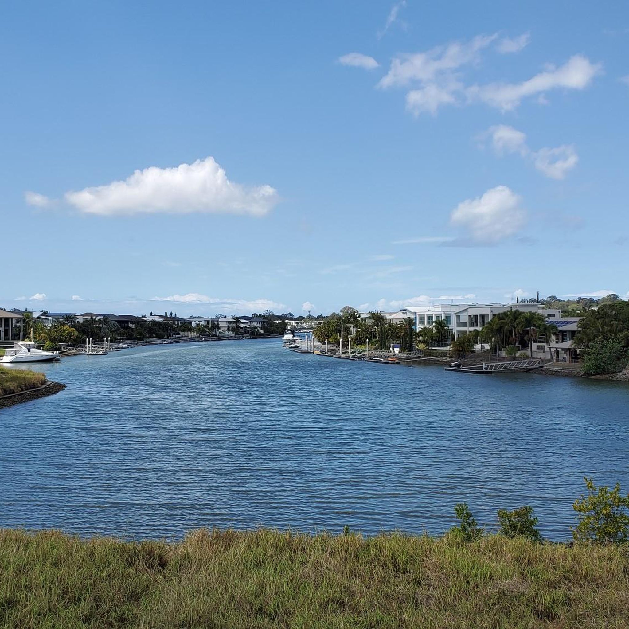
The terrain is predominantly flat to gently undulating, making it accessible for various fitness levels. Routes often traverse coastal and estuarine landscapes, offering views of waterways and local reserves. You'll find paths near areas like Saltwater Creek and Oyster Cove.
What do other road cyclists enjoy most about road cycling in Southern Moreton Bay Islands National Park?
The area is highly rated by the komoot community, with an average score of 4.4 stars from over 16 reviews. Cyclists often praise the scenic coastal paths, the estuarine environments, and the variety of routes suitable for different abilities.
Are there any circular road cycling routes in the Southern Moreton Bay Islands National Park?
Yes, many of the routes in the region are designed as loops. For example, the popular Morala loop from Hope Island and the Saltwater Creek – Oyster Cove loop from Hope Island are both circular routes, allowing you to start and finish at the same point.
What is the best season for road biking in Southern Moreton Bay Islands National Park?
Given its coastal location, road cycling in Southern Moreton Bay Islands National Park is generally pleasant during spring and autumn when temperatures are milder. Summer can be warm, but coastal breezes often provide some relief. Winter offers cooler, drier conditions which can also be ideal.
Are there any specific viewpoints or scenic spots along the road cycling routes?
Many routes offer scenic views of the waterways and coastal areas. The Saltwater Creek – Oyster Cove loop from Hope Island, for instance, features terrain alongside water bodies, providing varied and picturesque views throughout the ride.
Can I access the road cycling trails using public transport?
While specific public transport access points for each trailhead may vary, the Southern Moreton Bay Islands are accessible by ferry services from the mainland. Once on the islands, local transport or cycling directly from the ferry terminal would be options to reach various starting points.
Most popular routes in Southern Moreton Bay Islands National Park

Get inspired with the komoot mobile app


Explore more
Browse the best Road cycling routes in other regions.
