The best road cycling routes in Bundjalung National Park
5.0
(4)
64
riders
3
rides
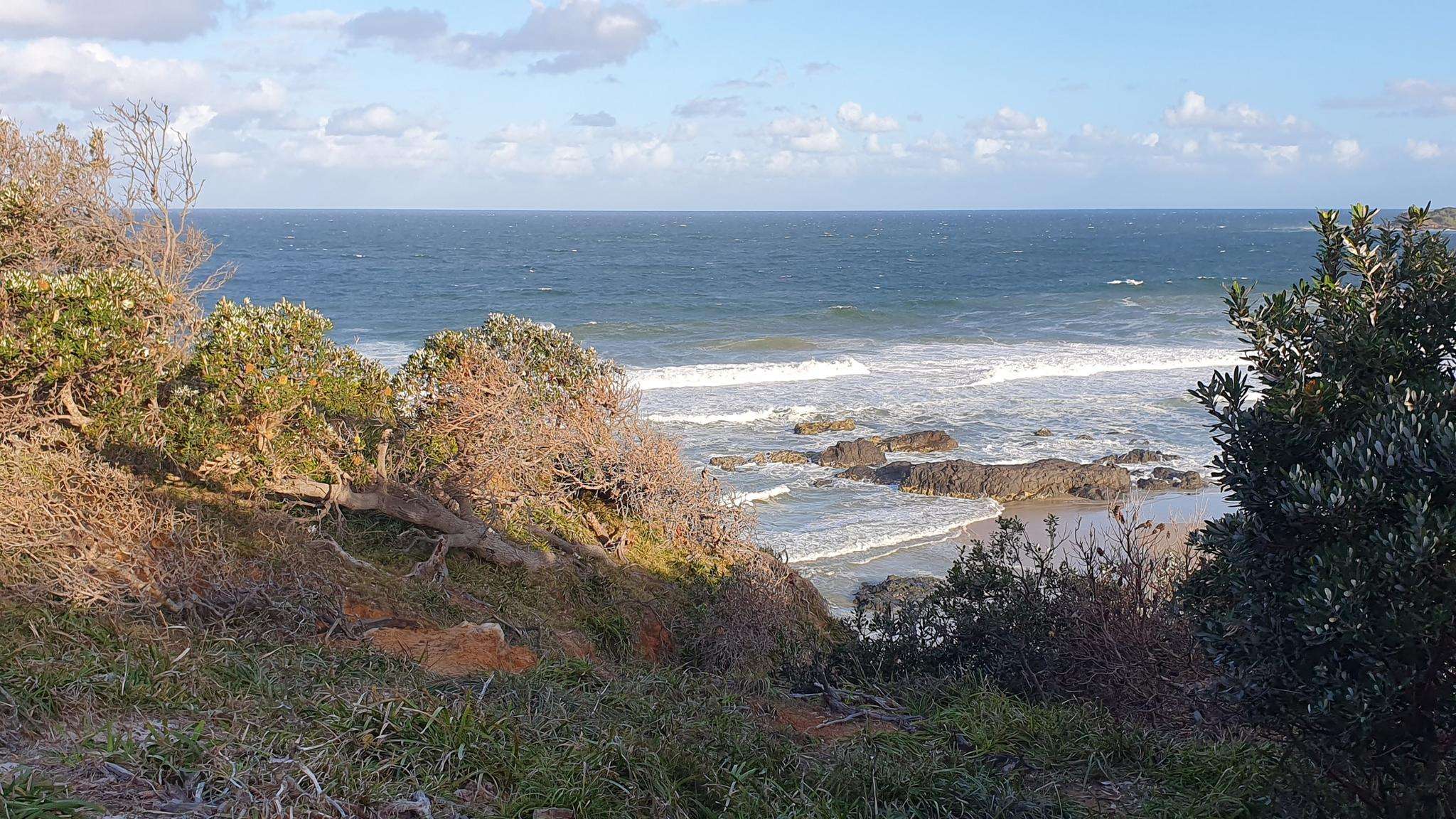
Road cycling in Bundjalung National Park, located on the North Coast of New South Wales, offers routes that traverse a diverse landscape. The region is characterized by 38 kilometers of coastline with white sand beaches and unique "coffee rock" formations, alongside a mix of river, beach, and freshwater lagoons. While the park is known for mountain biking and general cycling, dedicated fully paved road cycling routes within the immediate park boundaries are not extensively highlighted, suggesting that some segments may…
Last updated: July 11, 2026
5.0
(3)
31
riders
30.6km
01:13
100m
100m
Easy road ride. Great for any fitness level. Mostly well-paved surfaces and easy to ride.
5.0
(1)
17
riders
43.7km
01:43
90m
90m
Easy road ride. Great for any fitness level. Mostly well-paved surfaces and easy to ride.

Sign up for free
11
riders
65.0km
02:35
260m
260m
Moderate road ride. Good fitness required. Mostly well-paved surfaces and easy to ride.
5
riders
25.3km
01:00
90m
90m
Easy road ride. Great for any fitness level. Mostly well-paved surfaces and easy to ride.
Our route recommendations are based on thousands of hikes, rides, and runs completed by other people on komoot.
Start today with a free account
Your next adventure awaits.
Login or Signup
Popular around Bundjalung National Park
Frequently Asked Questions
What is the typical surface type for road cycling routes in Bundjalung National Park?
While there are identified road cycling routes in the broader Bundjalung National Park area, it's important to be aware that some segments may be unpaved. The park's internal roads, such as The Gap Road and Jerusalem Trail, are subject to maintenance and may not always be ideal for smooth road cycling. Cyclists looking for purely paved experiences might consider public roads outside the immediate park boundaries.
Are there any easy road cycling routes suitable for beginners in Bundjalung National Park?
Yes, there are easy options available. For instance, the Angourie Surfing Reserve loop from Thorny Island is an easy 19.0-mile (30.6 km) route exploring the coastal area. Another easy option is the Yamba Lighthouse loop from Yamba Rd Before Treelands Dr, which is 27.2 miles (43.7 km) and offers coastal views.
What kind of scenic views can I expect while road cycling in Bundjalung National Park?
Road cycling in the region offers diverse scenic views. You can expect coastal paths with white sand beaches and unique 'coffee rock' formations, riverine environments along the Evans River or Jerusalem Creek, and areas with freshwater lagoons. Routes like the Yamba Lighthouse loop provide views of the coastline and the iconic Yamba Lighthouse.
Are there any loop routes for road cycling in Bundjalung National Park?
Yes, several routes are designed as loops. Popular options include the Angourie Surfing Reserve loop from Thorny Island, the Yamba Lighthouse loop from Yamba Rd Before Treelands Dr, and the Lake Cakora loop from Thorny Island. These offer varied distances and experiences.
What is the best time of year for road cycling in Bundjalung National Park?
The North Coast of New South Wales generally offers pleasant cycling conditions for much of the year. However, to avoid the hottest summer months and potential heavy rainfall, spring (September to November) and autumn (March to May) often provide the most comfortable temperatures and stable weather for road cycling.
Can I find family-friendly road cycling options in the Bundjalung National Park area?
While the park is known for diverse outdoor activities, road cycling routes are generally on public roads or shared paths. For family-friendly cycling, consider the easier routes available, such as the Angourie Surfing Reserve loop. Always check the specific route details for traffic conditions and suitability for children before heading out.
What kind of wildlife might I encounter while cycling in Bundjalung National Park?
The diverse habitats of Bundjalung National Park support over 140 species of fauna. While cycling, you might spot Eastern grey kangaroos, wallabies, and various bird species like ospreys and pied oystercatchers. Coastal areas also offer opportunities to see dolphins, sea turtles, and humpback whales during their migration season.
Are dogs allowed on road cycling routes within Bundjalung National Park?
Bundjalung National Park has specific regulations regarding pets to protect its native wildlife. Generally, dogs are not permitted on walking tracks, in campgrounds, or in park facilities, and must be kept on a leash in designated areas only. It's best to check the official NSW National Parks website for the most current and detailed policy on pets within the park boundaries before planning your ride with a dog.
Where can I find parking and access points for road cycling routes in the Bundjalung National Park area?
Parking is typically available at the starting points of many routes or in nearby towns. For example, routes starting from 'Thorny Island' or 'Yamba Rd Before Treelands Dr' would have access points in or near these locations. For specific parking information, it's advisable to check the details of your chosen route on komoot or local council websites for public parking facilities.
What do other road cyclists enjoy most about road cycling in Bundjalung National Park?
The road cycling routes in the Bundjalung National Park area are highly rated by the komoot community, with an average score of 5.0 stars. Cyclists often praise the diverse coastal and riverine landscapes, the variety of routes from easy to moderate, and the opportunity to explore the region's natural beauty.
How many road cycling routes are available in the Bundjalung National Park region?
There are several road cycling routes available in the Bundjalung National Park region, offering options for different ability levels. Currently, komoot features 4 distinct road cycling routes in this area, ranging from easy to moderate difficulty.
Are there places to eat or stay near the road cycling routes in Bundjalung National Park?
Yes, towns bordering or near Bundjalung National Park, such as Iluka, Yamba, and Evans Head, offer various amenities. You can find cafes, pubs, and accommodation options in these areas, providing convenient spots for refreshments or overnight stays before or after your ride.

Get inspired with the komoot mobile app


Explore more
Browse the best Road cycling routes in other regions.
